Curated by PaddleWays
RouteFlatwater
- Distance
- 3.6 mi
- Paddle time
- 4–4.5 hrs
- Put-in → take-out
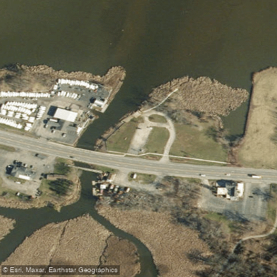
- Ellison Park Access → Lake Ontario Irondequoit Bay Boat Ramp
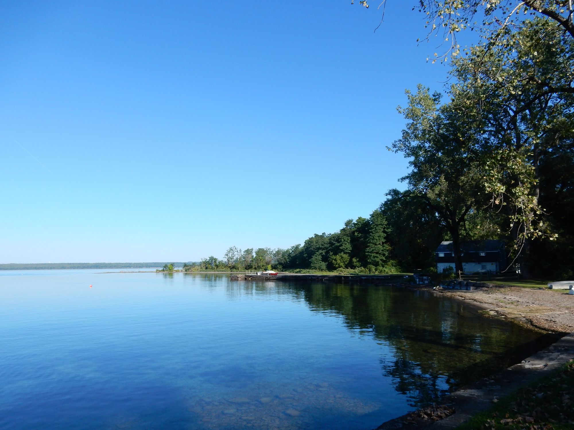
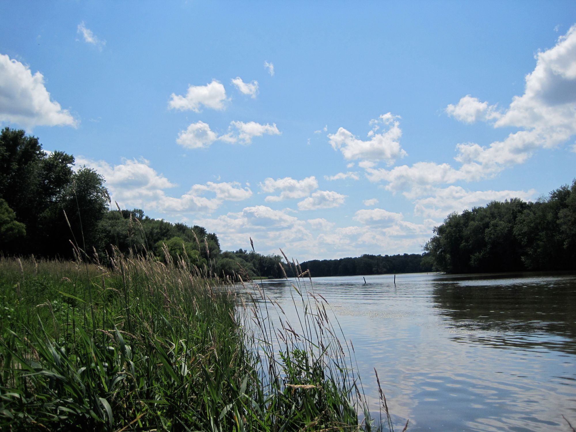
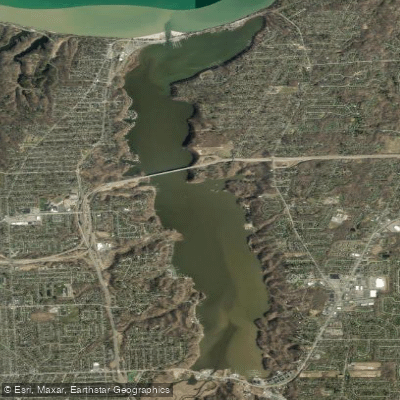
Irondequoit Creek is a scenic waterway located in Monroe County, New York, flowing northward from its headwaters near Mendon Ponds Park to its mouth at Irondequoit Bay on Lake Ontario. This approximately 20-mile long creek drains a watershed of about 170 square miles and serves as a vital ecological corridor in the greater Rochester area. The creek offers diverse paddling opportunities, from placid flatwater sections to more challenging whitewater. The most popular paddling route runs from Ellison Park to Irondequoit Bay, a 4.5-mile stretch that typically takes about 4-4.5 hours to navigate. This section winds through wetlands and forested areas, providing an immersive natural experience despite its proximity to urban development.
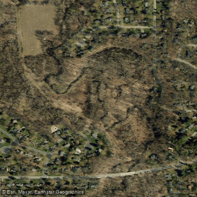
For more adventurous paddlers, the Linear Park Whitewater Section in Penfield offers a short but exciting Class II(III) run. This 0.5-mile stretch features a series of rapids and cascades as the creek drops 90 feet through Channing H. Philbrick Park. The creek's difficulty ranges from flatwater suitable for beginners to intermediate whitewater requiring more advanced skills. Spring and early summer typically offer the best water levels, though the lower sections can be paddled year-round in most conditions.
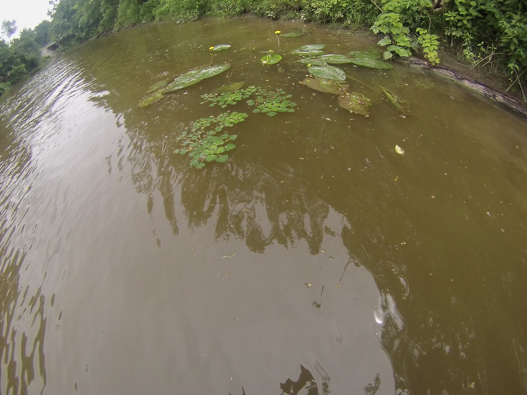
Irondequoit Creek supports a rich ecosystem, home to various fish species, waterfowl, and riparian wildlife. Paddlers may spot great blue herons, beavers, and numerous bird species along the forested banks. Key landmarks include Ellison Park, a popular access point with multiple trails, and the historic Blossom Road Bridge. The creek's journey through Lucien Morin Park offers beautiful marsh areas and access to Irondequoit Bay.
Primary access points include Ellison Park in Brighton/Penfield, Channing H. Philbrick Park in Penfield, and LaSalle's Landing Park at the creek's mouth. The nearby city of Rochester provides amenities and outfitters like BayCreek Paddling Center, which offers rentals and shuttle services.
Historically, the creek played a role in early settlement and industrial development of the area. Today, it serves as an important recreational resource and natural corridor in a largely developed region.
Paddlers should be aware of low-head dams in some sections and potential strainers, especially after storms. Local regulations require life jackets, and it's advisable to check water levels and weather conditions before embarking. While primarily suited for day trips, ambitious paddlers could potentially string together a multi-day journey from the upper reaches through Irondequoit Bay and into Lake Ontario, though this would require careful planning and portages.
Irondequoit Creek offers a surprisingly wild and scenic paddling experience in the heart of Monroe County, providing both peaceful nature immersion and exciting whitewater opportunities for local and visiting paddlers alike.
Curated routes
Hand-picked by the PaddleWays team, with put-ins, take-outs, paddle times and the hazards along the way.
RouteFlatwater
RouteFlatwater
Hazards
No hazards are marked on Irondequoit Creek yet. That is not the same as none being there: if you find one, report it for the next paddler.
From the community
Nobody has shared a trip on Irondequoit Creek yet. Paddle it, then tell the next paddler how it went.
See exactly where the public can get on and off the river. Launch points and boat ramps are paired with PaddleWays' public land data so you know where you can legally land.
Public shoreline
21%of the river's shoreline is public
Most of the riverbank is private. Launch, land and camp only at public access points.
Flows, weather and a route-by-route verdict, so you know which stretch of the Irondequoit Creek is worth paddling today.
All Flow Stations
Live flows, marked hazards and fresh trip reports from paddlers who were just on the water, all in one place.





Every user gets free access to launch points, boat ramps, and public property parcels.

Loading popular cities...
PaddleWays gives you everything you need to plan smarter, paddle better, and own every trip from first launch to takeout.