Curated by PaddleWays
RouteClass IV–V
- Distance
- 10 mi
- Paddle time
- ~2.5 hrs
- Best for
- Experienced paddlers
- Put-in → take-out
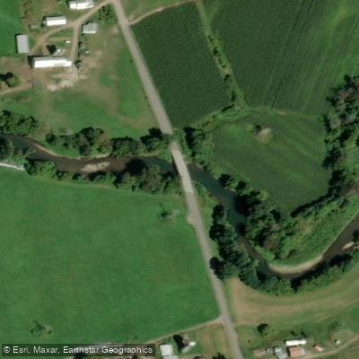
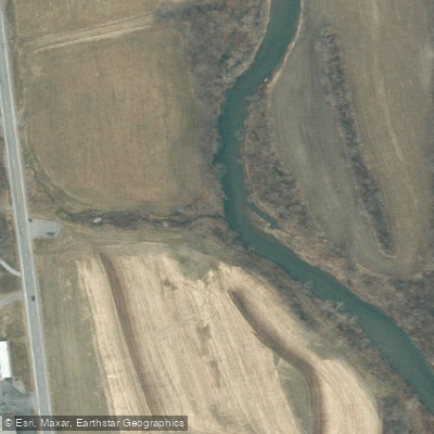
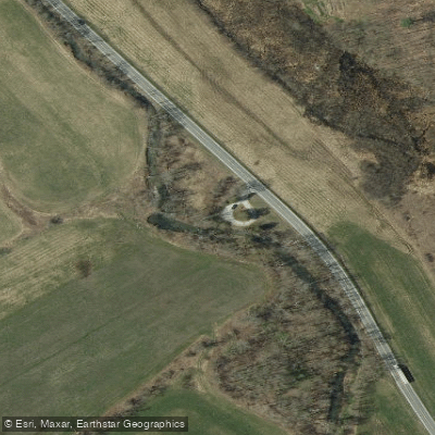
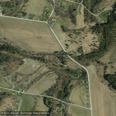
- Mettawee River Access → Upper Turnpike Take Out Boat Ramp
Dangerous sieve in this section
The Mettawee River is a fast-flowing tributary of Lake Champlain that originates in the Green Mountains of Dorset, Vermont, and flows westward into New York State. This scenic waterway is renowned for its challenging whitewater and excellent fishing opportunities, making it a popular destination for outdoor enthusiasts.
The river's journey spans approximately 30 miles, with the upper section in Vermont and the lower portion in New York. As it winds through the landscape, the Mettawee showcases a diverse array of features, including clear waters that reveal colorful slate beds and remnants of old mill sites that create attractive rapids.
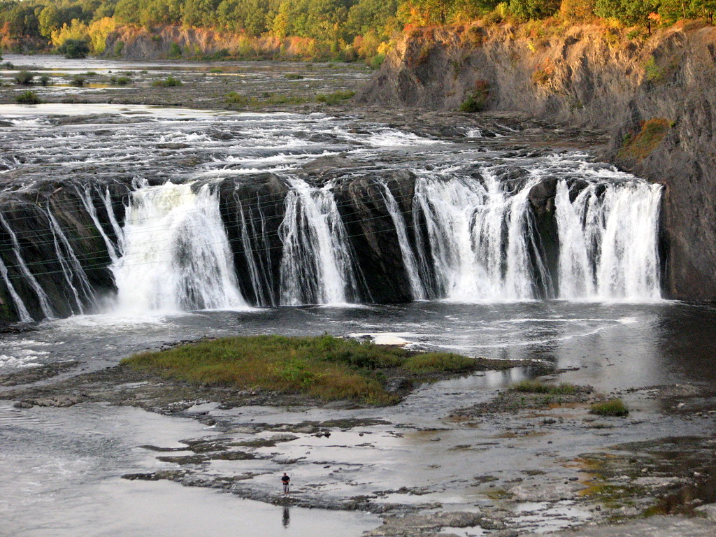
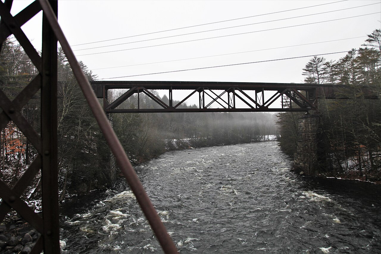
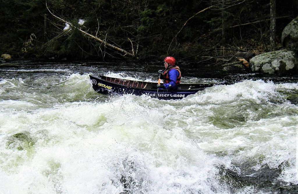
Paddlers can experience a range of difficulty levels on the Mettawee, from moderate class III rapids to intense class V drops. The most challenging section runs from Truthville to Upper Turnpike in New York, offering a thrilling 3.5-mile stretch of class IV-V whitewater. This segment is characterized by significant rapids, falls, and technical features, including a notable drop just below the put-in bridge and a small waterfall with a large mid-stream boulder further downstream.
For those seeking a longer adventure, the Upper Mettawee section from Dorset, Vermont, to the New York border provides about 12 miles of class V whitewater. This run features the infamous "Triple Drop" with its powerful recirculating hole, as well as a high class V falls near the end that requires careful navigation.
The Mettawee is primarily a spring runoff river, with the best paddling conditions typically occurring from late March through early May. However, it can also offer exciting opportunities after heavy rains throughout the year. Paddlers should always check water levels and be prepared for rapid changes in conditions.
The river passes through several notable towns, including Granville, NY, where paddlers can find access points and local amenities. The section from Granville to Whitehall offers an additional 15 miles of challenging whitewater, culminating near the southern end of Lake Champlain.
Safety is paramount on the Mettawee due to its technical nature and the presence of hazards such as sieves and powerful hydraulics. Paddlers should be experienced in class IV-V whitewater and familiar with swift water rescue techniques. It's advisable to scout rapids, especially in unfamiliar sections, and be prepared to portage when necessary.
While the Mettawee is primarily known for its whitewater, it also offers excellent opportunities for fly fishing, particularly in the calmer stretches. The river supports a healthy population of trout, adding to its allure for anglers.
The Mettawee River's natural beauty, challenging rapids, and rich history make it a gem of the Northeast. Whether you're an adrenaline-seeking kayaker or a passionate angler, the Mettawee offers a memorable outdoor experience set against the backdrop of Vermont's Green Mountains and New York's scenic landscapes.
Curated routes
Hand-picked by the PaddleWays team, with put-ins, take-outs, paddle times and the hazards along the way.
RouteClass IV–V
RouteClass IV–V
Hazards
No paddler has reported a hazard here yet, so these are the dams, falls and big rapids on our map. Hazards change with flows and storms, so check them before you launch.
From the community
Nobody has shared a trip on Mettawee River yet. Paddle it, then tell the next paddler how it went.
See exactly where the public can get on and off the river. Launch points and boat ramps are paired with PaddleWays' public land data so you know where you can legally land.
Public shoreline
7%of the river's shoreline is public
Most of the riverbank is private. Launch, land and camp only at public access points.
Flows, weather and a route-by-route verdict, so you know which stretch of the Mettawee River is worth paddling today.
Live flows, marked hazards and fresh trip reports from paddlers who were just on the water, all in one place.





Every user gets free access to launch points, boat ramps, and public property parcels.


Loading popular cities...
PaddleWays gives you everything you need to plan smarter, paddle better, and own every trip from first launch to takeout.