Curated by PaddleWays
RouteClass V
- Distance
- 1.8 mi
- Paddle time
- ~0.5 hrs
- Best for
- Experienced paddlers
- Put-in → take-out
- Johnsburg → Hudson River
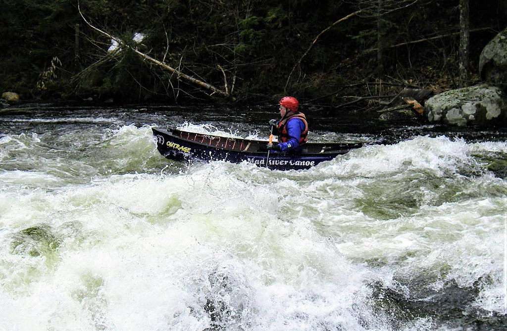
Class V whitewater, technical and demanding
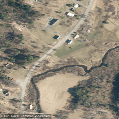
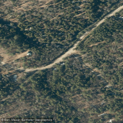
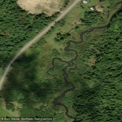
Mill Creek originates in the western highlands of Warren County, New York, flowing through a predominantly agricultural and forested landscape before joining the Hudson River near the village of Dexter. The creek system comprises multiple branches, with the North Fork and South Branch serving as major tributaries, creating a network that extends approximately 226 miles through the county's rolling terrain. The creek flows through several Warren County communities including Johnsburg, Warrensburg, Chester, and portions of Freedom Township. Its watershed drains roughly 145 square miles of land characterized by medium-textured glacial till and loamy soils. Much of the creek's length has been channelized historically for agricultural drainage, though some sections retain more natural characteristics, particularly in the headwater regions near the Sharon Short Hills where springs and artesian wells contribute stable baseflows.
Paddling opportunities exist primarily during spring runoff and following significant rainfall events, as the creek's hydrology has been substantially altered by drainage improvements and agricultural modifications. The lower mainstem near Dexter offers the most reliable water levels, though paddlers should expect shallow conditions during summer months. The creek's flashy nature—responding quickly to precipitation—requires careful timing and monitoring of water levels before attempting any paddle trips.
Mill Creek supports a warmwater fishery, with brown trout stocked annually by both the New York State Department of Environmental Conservation and the Warren County Fish Hatchery in Warrensburg. Brook trout, rainbow trout, and various warmwater species inhabit different sections of the system. The riparian corridor, where intact, provides habitat for great blue herons, wood ducks, and various songbird species. Aquatic macroinvertebrates indicate fair to good water quality in less-disturbed reaches.
The Warren County Fish Hatchery serves as both a functional facility and public attraction, offering educational opportunities and river access. The creek passes through agricultural landscapes that reflect the county's farming heritage, with several historic mill sites along its course—remnants of the 19th-century economy that originally shaped the waterway's development.
Access points are limited due to extensive private land ownership throughout the watershed. Public access exists near the confluence with the Hudson River in Dexter and at select road crossings where informal launches may be possible with landowner permission. The creek's designation as a county drain throughout much of its length means maintenance activities occur periodically. Water quality concerns include elevated phosphorus levels from agricultural runoff and periodic sedimentation issues. Paddlers should practice catch-and-release fishing and avoid disturbing streambanks in erosion-prone areas. The creek's variable flows and occasional logjams require intermediate paddling skills and the ability to navigate obstacles safely.
Curated routes
Hand-picked by the PaddleWays team, with put-ins, take-outs, paddle times and the hazards along the way.
RouteClass V
Hazards
No paddler has reported a hazard here yet, so these are the dams, falls and big rapids on our map. Hazards change with flows and storms, so check them before you launch.
From the community
Nobody has shared a trip on Mill Creek yet. Paddle it, then tell the next paddler how it went.
See exactly where the public can get on and off the river. Launch points and boat ramps are paired with PaddleWays' public land data so you know where you can legally land.
Public shoreline
26%of the river's shoreline is public
Most of the riverbank is private. Launch, land and camp only at public access points.
Flows, weather and a route-by-route verdict, so you know which stretch of the Mill Creek is worth paddling today.
No forecast data available.
Live flows, marked hazards and fresh trip reports from paddlers who were just on the water, all in one place.





Every user gets free access to launch points, boat ramps, and public property parcels.


Loading popular cities...
PaddleWays gives you everything you need to plan smarter, paddle better, and own every trip from first launch to takeout.