Minisceongo Creek
- Saltwater
- Tidal creek
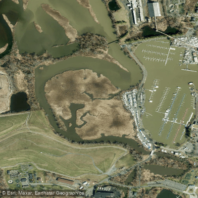
Minisceongo Creek
- Saltwater
- Tidal creek
- Sq. miles
- 0
- Boat Ramps
- 2
- Access Points
- 0
- Campsites
- 2
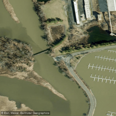
Minisceongo Creek is a tidal creek flowing into Stony Point Bay on the Hudson River near Haverstraw, New York. The primary access point for paddlers is the Town of Haverstraw Kayak Launch, located on the creek itself. This launch provides direct access to Stony Point Bay and the wider Hudson River, making it the closest put-in for exploring the Stony Point area. The creek features several notable bridges, including a highway bridge and an abandoned railroad bridge, as well as a footbridge that offers views toward the Ramapo Mountains. The landscape includes Hook Mountain in the background, and the shoreline is lined with phragmites grass. The creek empties into Haverstraw Bay, a broad section of the Hudson known for boat traffic including historic sloops and schooners. Paddlers should be prepared for significant wind exposure and fetch across these open bays, which can create challenging conditions. Tidal currents in this part of the Hudson are strong and predictable, requiring careful trip timing; paddling against a strong ebb or flood tide can be strenuous. Motorized boat traffic is present, particularly near the creek's confluence with the Hudson and in the shipping channels of Haverstraw Bay, necessitating vigilance and proper navigation lights if paddling near dawn or dusk. The Hudson River in this region experiences typical seasonal variations, with cold water prevailing from late fall through early spring, warranting appropriate immersion gear. The area has been a focus for community clean-up efforts, with volunteers removing substantial amounts of trash from the watershed, indicating ongoing concerns about water quality and litter.
Water access, boat ramps & amenities
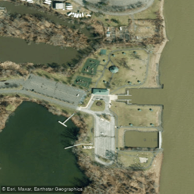
Learn how to get on Minisceongo Creek. Uncover great paddling access points, boat ramps, and all the facilities you need for an unforgettable day on the water. Some locations shown may border or include private property. Always check property boundaries and applicable regulations before visiting. PaddleWays's Public & Private Land layer can help you plan your access with confidence.
Paddle smarter with real-time insights
Whether you're en route and conditions shift or you're looking for the best spot based on current flows, we enable you to make informed decisions on the fly.








Find Places to Paddle

Over 400,000 Places to Paddle
Every user gets free access to launch points, boat ramps, and public property parcels.


Tides, wind & water conditions (10 day forecast)
On open water, wind and tide matter as much as the weather. See the best times to paddle Minisceongo Creek and check the marine forecast before you launch.
Loading tide predictions…
Paddling near Minisceongo Creek

Hudson River

Croton River
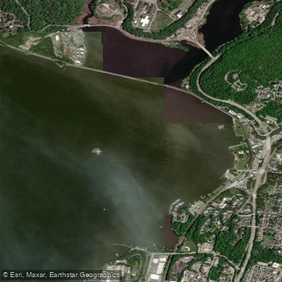
Peekskill Bay
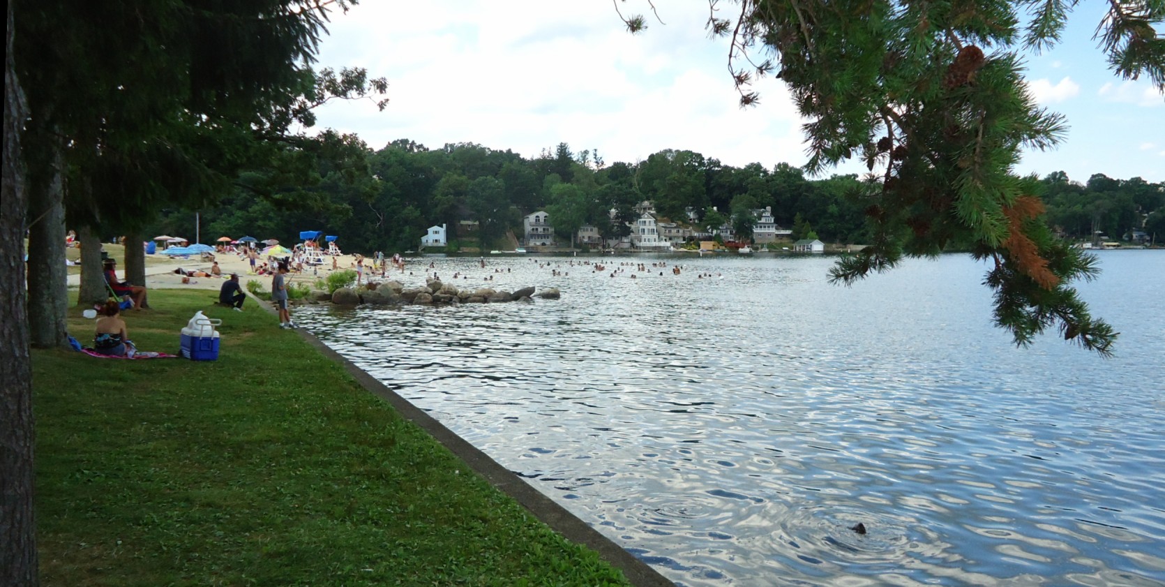
Lake Hopatcong
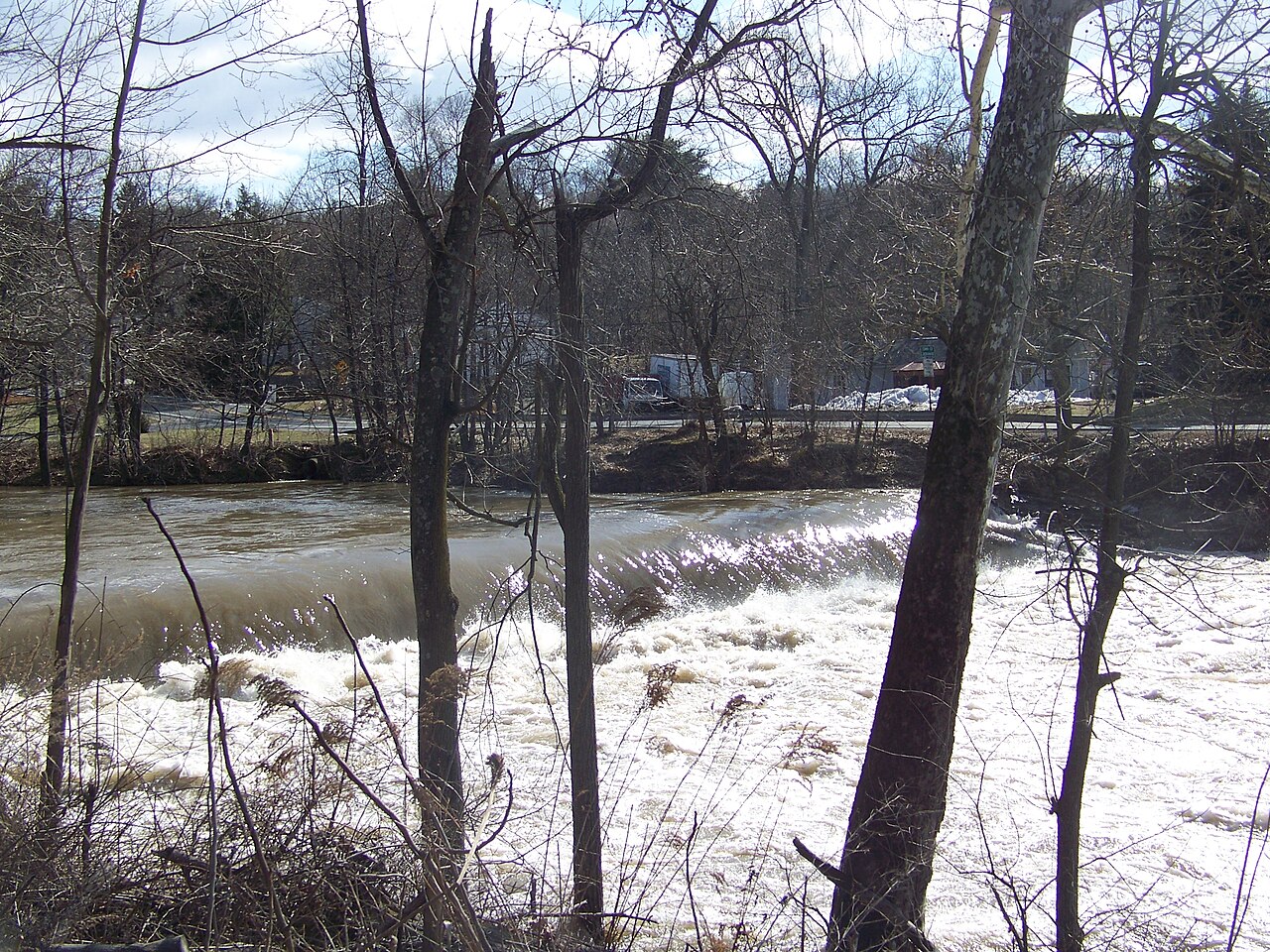
Wappinger Creek
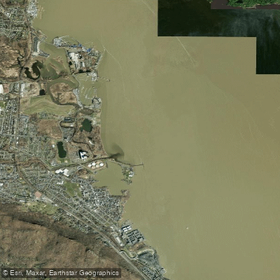
Haverstraw Bay

Housatonic River

Delaware River
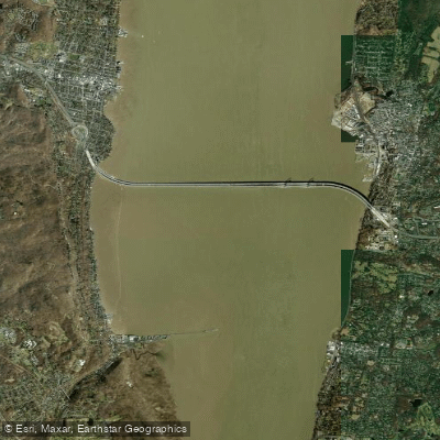
Tappan Zee
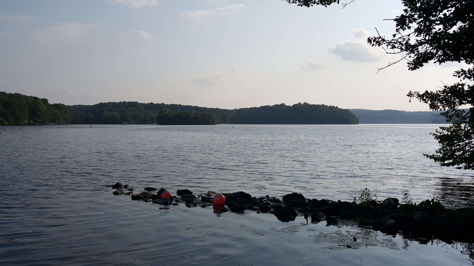
Swartswood Lake
Explore New York waters
Top paddling waters
Popular Cities
Loading popular cities...
Explore near Minisceongo Creek
Access points
Nearby waters
More in New York

Smarter Paddling Starts in the App.
Paddleways gives you everything you need to plan smarter, paddle better, and own every trip from first launch to takeout.