Mongaup River
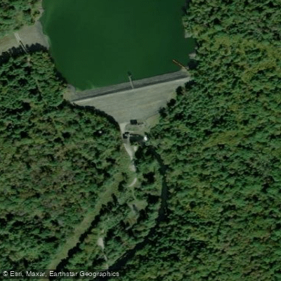
Mongaup River
- Boat Ramps
- 0
- Access Points
- 1
- Campsites
- 3
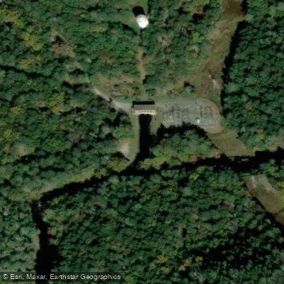
The Mongaup River is a scenic waterway in southeastern New York that flows approximately 10 miles from its source at the Rio Dam to its confluence with the Delaware River near Port Jervis. This river system, fed by releases from upstream reservoirs, offers exciting whitewater opportunities for intermediate paddlers. The most popular paddling section runs 2.9 miles from Rio Dam to the Delaware River confluence. This stretch features Class II-III rapids, making it suitable for kayakers and canoeists with some whitewater experience. The run begins with technical boulder gardens before opening up into wave trains and playful features. A notable landmark is the Rio Main Powerhouse, located about halfway through the run.
Paddling opportunities on the Mongaup are largely dependent on scheduled releases from Rio Dam. Recreational releases typically occur on weekends from April through October, with additional power generation releases providing more frequent paddling options. The river is closed to paddling from December 1 to April 1 to protect nesting bald eagles. Access to the put-in at Rio Dam is via a steep path, so paddlers should be prepared for a bit of a hike. The main take-out is at the confluence with the Delaware River, though some paddlers continue downstream on the Delaware to Port Jervis. Nearby towns include Forestburgh and Sparrowbush.
The Mongaup River valley hosts diverse wildlife, including bald eagles, black bears, and various fish species. The surrounding forests showcase a mix of hardwoods and evergreens typical of the Catskill region.
For those seeking a longer adventure, the Mongaup can be combined with sections of the Delaware River for multi-day trips. Popular options include continuing from the Mongaup confluence down to Matamoras, PA, which adds about 6 miles of Class I-II water with scenic views of the Delaware Water Gap.
Safety considerations include cold water temperatures from dam releases and potential strainers in the narrower upper sections. Paddlers should check release schedules and water levels before their trip. While not overly technical, the Mongaup's consistent flow and variety of features make it an excellent training ground for developing whitewater skills in a relatively controlled environment.
Water access, boat ramps & amenities
Learn how to get on Mongaup River. Uncover great paddling access points, boat ramps, and all the facilities you need for an unforgettable day on the water. Some locations shown may border or include private property. Always check property boundaries and applicable regulations before visiting. PaddleWays's Public & Private Land layer can help you plan your access with confidence.
Paddle smarter with real-time insights
Whether you're en route and conditions shift or you're looking for the best spot based on current flows, we enable you to make informed decisions on the fly.







New York licenses and regulations

Dam Release Schedule

New York Boating Regulations
When using any type of watercraft to access a body of water, it is important to follow all federal, state, and local rules and regulations. These rules and regulations include boat permitting and licensing, invasive species inspections and stamps, life jacket and PFD rules, motor size and horsepower restrictions, noise limitations, restrictions on personal watercraft, and many more. Visit the weblink below for the most current rules and regulations for this body of water.
Find Places to Paddle

Over 400,000 Places to Paddle
Every user gets free access to launch points, boat ramps, and public property parcels.


Water and weather conditions (10 day forecast)
See the best times to paddle Mongaup River and check the forecast before you go.
MONGAUP RIVER AT MONGAUP VALLEY NY
All Flow Stations
Paddling near Mongaup River

Delaware River
Brodhead Creek
Lehigh River
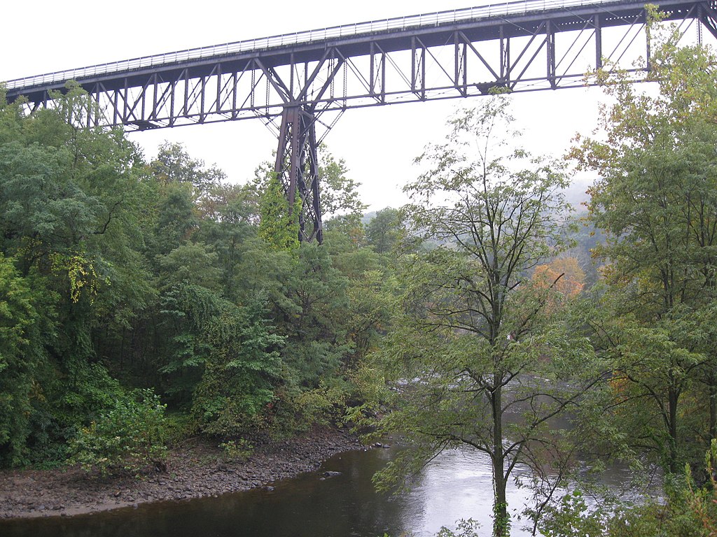
Rondout Creek
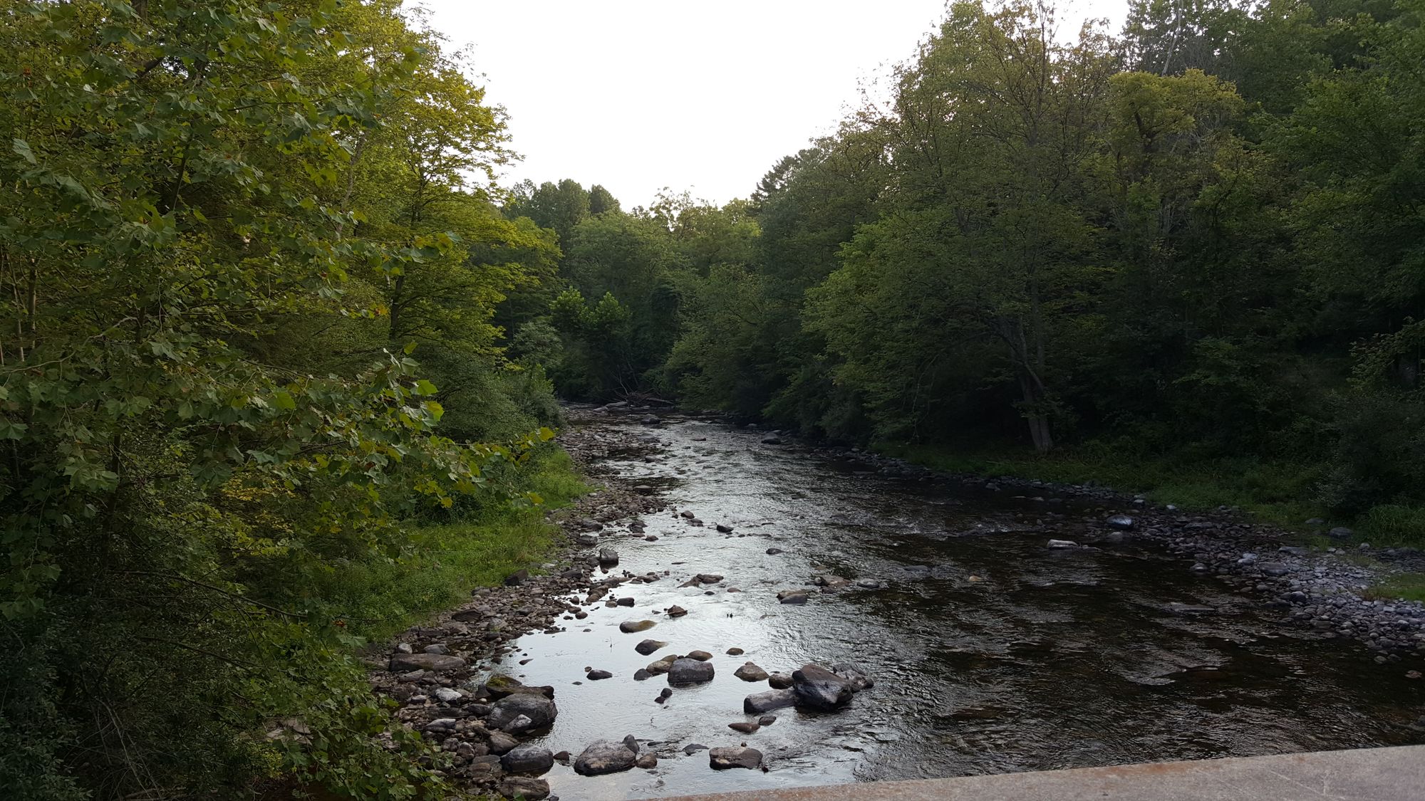
Flat Brook

Susquehanna River
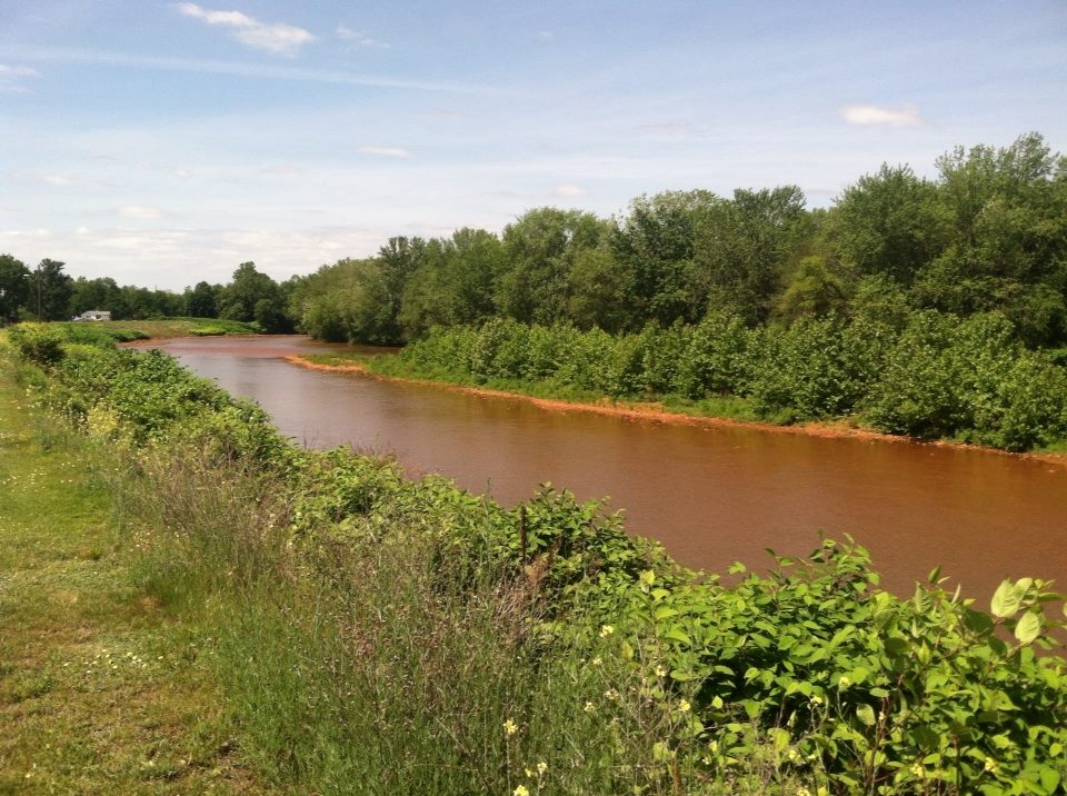
Lackawanna River
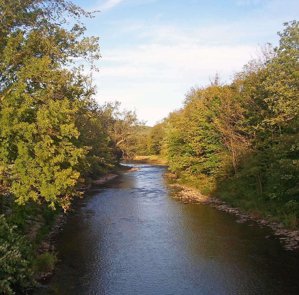
East Branch Delaware River
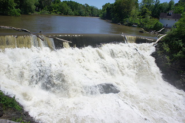
Beaver Kill
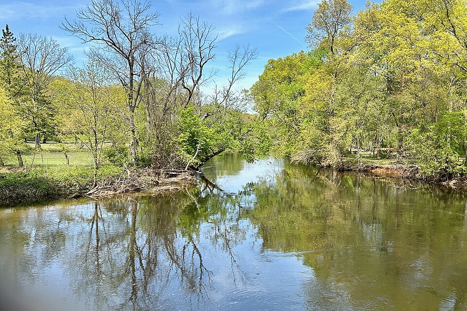
Rockaway River
Explore New York waters
Top paddling waters
Popular Cities
Loading popular cities...
Explore near Mongaup River
Access points
Nearby waters
More in New York

Smarter Paddling Starts in the App.
Paddleways gives you everything you need to plan smarter, paddle better, and own every trip from first launch to takeout.