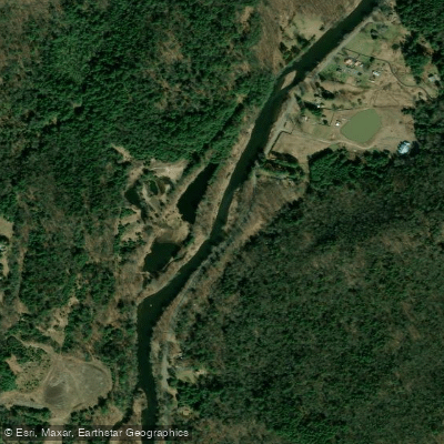
Curated by PaddleWays
RouteClass II–IV
- Distance
- 14.2 mi
- Paddle time
- ~3.5 hrs
- Best for
- Intermediate paddlers, experienced paddlers
- Put-in → take-out
- Neversink River Access → Oakland Valley Access
The Neversink River is a 55-mile long tributary of the Delaware River, originating in the Catskill Mountains of New York. It flows generally southwest through Sullivan and Orange Counties before joining the Delaware River near Port Jervis. The river is formed by the confluence of its East and West Branches near Claryville, NY. The Neversink offers diverse paddling opportunities, from calm flatwater sections to challenging whitewater.
The upper reaches above Neversink Reservoir provide scenic Class II-III rapids suitable for intermediate paddlers. The most difficult section is the Neversink Gorge between Denton Falls and High Falls, featuring Class IV-V rapids recommended only for expert kayakers. Below the gorge, the river mellows to Class II-III whitewater down to Oakland Valley. Paddling difficulty ranges from flatwater on Neversink Reservoir to expert-level whitewater in the gorge. Most sections require solid whitewater skills and experience reading rapids.
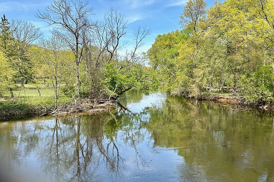
Spring snowmelt and rainfall provide the best flows, typically from April through early June. Late summer and fall often have lower water levels better suited for fishing than paddling. The river corridor supports diverse wildlife, including black bears, bald eagles, and wild trout. The Neversink is renowned for its excellent trout fishing. Scenic highlights include the dramatic rock formations and waterfalls of the Neversink Gorge.
Key access points include put-ins at Claryville, Rock Hill, and Bridgeville. Take-outs are available at Oakland Valley and various points downstream. The nearby towns of Monticello and Port Jervis offer lodging and supplies.
Historically, the Neversink played an important role in the early development of American fly fishing. Today, much of the river corridor is protected within the Neversink River Unique Area, preserving its natural beauty and recreational value.
Paddlers should be aware of strainers, undercut rocks, and difficult portages, especially in the gorge section. A free DEP Access Permit is required for boating on NYC reservoirs. Multi-day trips are possible by combining river sections with camping at designated sites along the corridor.
Curated routes
Hand-picked by the PaddleWays team, with put-ins, take-outs, paddle times and the hazards along the way.
RouteClass II–IV
RouteClass II–IV
Hazards
No paddler has reported a hazard here yet, so these are the dams, falls and big rapids on our map. Hazards change with flows and storms, so check them before you launch.
From the community
Nobody has shared a trip on Neversink River yet. Paddle it, then tell the next paddler how it went.
See exactly where the public can get on and off the river. Launch points and boat ramps are paired with PaddleWays' public land data so you know where you can legally land.
Public shoreline
18%of the river's shoreline is public
Most of the riverbank is private. Launch, land and camp only at public access points.
Flows, weather and a route-by-route verdict, so you know which stretch of the Neversink River is worth paddling today.
All Flow Stations
Live flows, marked hazards and fresh trip reports from paddlers who were just on the water, all in one place.





Every user gets free access to launch points, boat ramps, and public property parcels.


Loading popular cities...
PaddleWays gives you everything you need to plan smarter, paddle better, and own every trip from first launch to takeout.