Curated by PaddleWays
RouteClass I–III
- Distance
- 6.1 mi
- Paddle time
- ~1.5 hrs
- Best for
- Intermediate paddlers
- Put-in → take-out
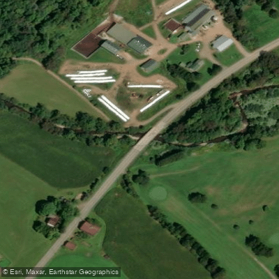
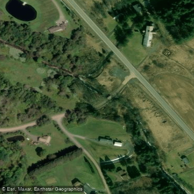
- Wagner Hollow Road Bridge Access → Route 357 Access
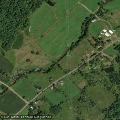
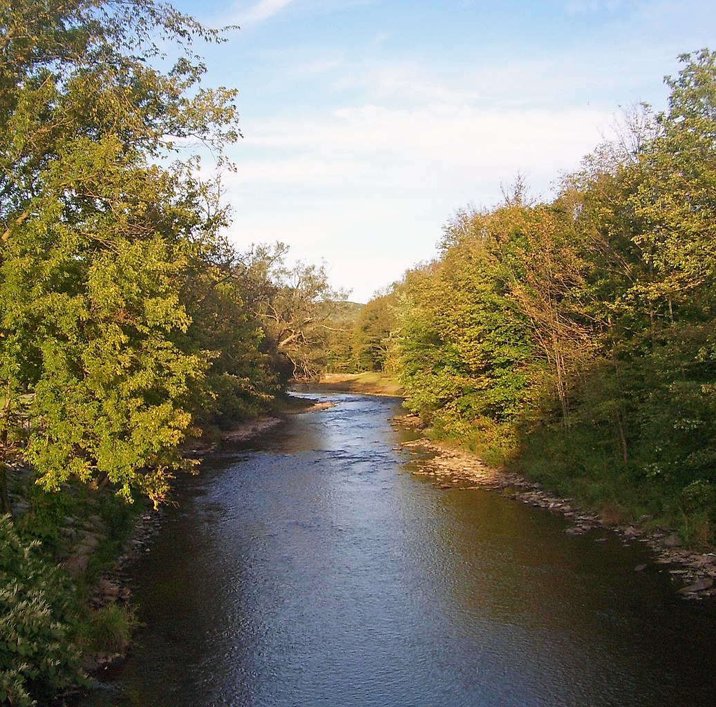
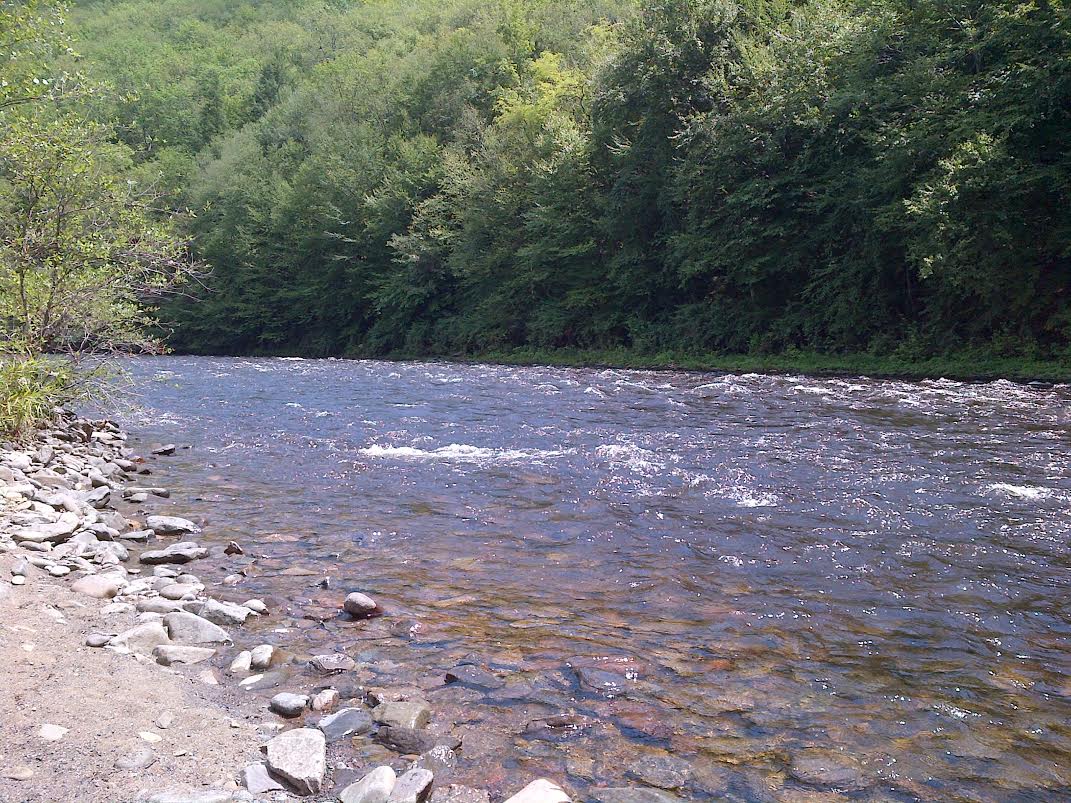
Ouleout Creek flows through the rolling hills of Delaware County in New York's western Catskills region, originating in the highlands near Franklin and traveling approximately 25 miles before joining the Susquehanna River near the hamlet of Wells Bridge. This tributary drains roughly 102 square miles of predominantly forested and agricultural watershed, maintaining a generally southwestward course through a landscape shaped by glacial activity and centuries of human settlement.
The creek supports a thriving wild trout fishery, with brown trout, brook trout, and rainbow trout populations documented throughout its length. The New York State Department of Environmental Conservation manages several miles of public fishing rights along the stream, particularly between Franklin and the Susquehanna confluence.
The waterway's Class I-III rapids make it suitable for intermediate paddlers, though water levels fluctuate significantly with seasonal precipitation and snowmelt. Paddling opportunities exist primarily during spring runoff and after substantial rainfall events, typically from April through early June. The most accessible section runs from Wells Bridge to Bainbridge, offering a mix of flatwater and gentle rapids through pastoral farmland. A secondary route extends upstream from Wells Bridge, allowing exploration of the creek's upper reaches as far as conditions permit. Summer and fall typically see reduced flows that may require portaging around shallow sections.
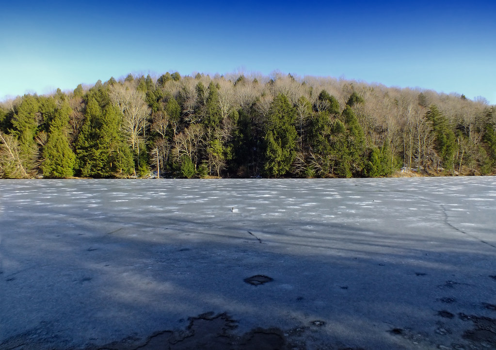
The East Sidney Dam, constructed in 1950 for flood control, creates East Sidney Lake approximately four miles downstream from Franklin. This 210-acre impoundment serves as a recreational hub with camping, boating, and swimming facilities managed by the Town of Sidney. The dam's operation significantly influences downstream flow patterns, occasionally creating sudden water level changes that paddlers must anticipate.
Historical settlements dot the creek corridor, including the covered bridge era remnants and former mill sites that once harnessed the waterway's power. The surrounding landscape transitions from hemlock-hardwood forests in the headwaters to mixed agricultural valleys downstream, supporting white-tailed deer, wild turkey, and various waterfowl species.
Access points include the boat launch at Wells Bridge, the East Sidney Recreation Area, and several roadside pull-offs along State Highway 357 and County Route roads. Franklin, the nearest substantial community to the upper watershed, lies approximately six miles from the creek's headwaters, while Sidney provides services for the lower sections.
Winter drawdowns at East Sidney Lake and variable release schedules from the dam require paddlers to verify current conditions before trips. The creek's moderate gradient and relatively remote character demand self-sufficiency and appropriate safety equipment for all water-based activities.
Curated routes
Hand-picked by the PaddleWays team, with put-ins, take-outs, paddle times and the hazards along the way.
RouteClass I–III
Hazards
No hazards are marked on Ouleout Creek yet. That is not the same as none being there: if you find one, report it for the next paddler.
From the community
Nobody has shared a trip on Ouleout Creek yet. Paddle it, then tell the next paddler how it went.
See exactly where the public can get on and off the river. Launch points and boat ramps are paired with PaddleWays' public land data so you know where you can legally land.
Public shoreline
0%of the river's shoreline is public
Most of the riverbank is private. Launch, land and camp only at public access points.
Flows, weather and a route-by-route verdict, so you know which stretch of the Ouleout Creek is worth paddling today.
Live flows, marked hazards and fresh trip reports from paddlers who were just on the water, all in one place.





Every user gets free access to launch points, boat ramps, and public property parcels.


Loading popular cities...
PaddleWays gives you everything you need to plan smarter, paddle better, and own every trip from first launch to takeout.