Rockaway Inlet/Jamaica Bay Federal Navigation Channel
- Saltwater
- Bay
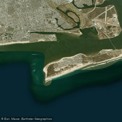
Rockaway Inlet/Jamaica Bay Federal Navigation Channel
- Saltwater
- Bay
- Sq. miles
- 0.7
- Boat Ramps
- 0
- Access Points
- 0
- Campsites
- 2
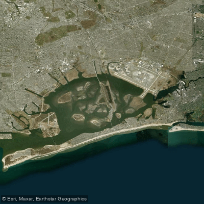
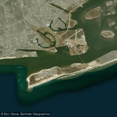
Rockaway Inlet is the ocean entrance to Jamaica Bay, connecting the bay to Lower New York Bay and the Atlantic Ocean. It is bounded by Brooklyn to the north and the Rockaway Peninsula to the south. The Federal Navigation Channel within the inlet is a significant feature, maintained to a depth of 20 feet below Mean Lower Low Water and a width of 1,000 feet to ensure safe navigation for commercial vessels. For paddlers, this means the inlet and adjacent bay are subject to strong tidal currents and significant boat traffic, particularly in the defined channel. The area is part of the Gateway National Recreation Area, and the National Park Service offers ranger-led kayaking programs that provide beginner-friendly access. These programs launch from Riis Landing on the Rockaway Peninsula and the Floyd Bennett Field Seaplane Ramp in Brooklyn. Launch points for excursions also include Bayswater Park. The paddling experience offers a juxtaposition of natural and urban landscapes, with views that can include the John F. Kennedy International Airport and the protected marshes of the Jamaica Bay Wildlife Refuge. Ranger-led trips include beginner routes, such as a free two-mile paddle, and more advanced excursions like the 4.5-mile Ruffle Bar trip. The waters can be calm but are exposed to wind and weather coming from the ocean through the inlet. The channel requires maintenance dredging due to sand shoaling, indicating shifting bottom conditions. The season for organized paddling programs extends into September.
Water access, boat ramps & amenities
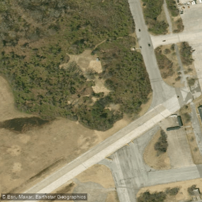
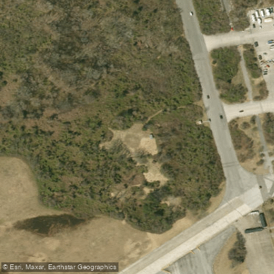
Learn how to get on Rockaway Inlet/Jamaica Bay Federal Navigation Channel. Uncover great paddling access points, boat ramps, and all the facilities you need for an unforgettable day on the water. Some locations shown may border or include private property. Always check property boundaries and applicable regulations before visiting. PaddleWays's Public & Private Land layer can help you plan your access with confidence.
Paddle smarter with real-time insights
Whether you're en route and conditions shift or you're looking for the best spot based on current flows, we enable you to make informed decisions on the fly.








Find Places to Paddle

Over 400,000 Places to Paddle
Every user gets free access to launch points, boat ramps, and public property parcels.


Tides, wind & water conditions (10 day forecast)
On open water, wind and tide matter as much as the weather. See the best times to paddle Rockaway Inlet/Jamaica Bay Federal Navigation Channel and check the marine forecast before you launch.
Loading tide predictions…
Paddling near Rockaway Inlet/Jamaica Bay Federal Navigation Channel

Hudson River
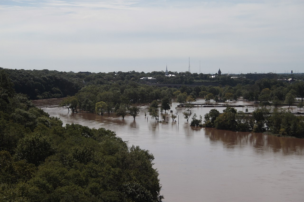
Raritan River
Jamaica Bay
Rockaway River
Millstone River
Rockaway Inlet
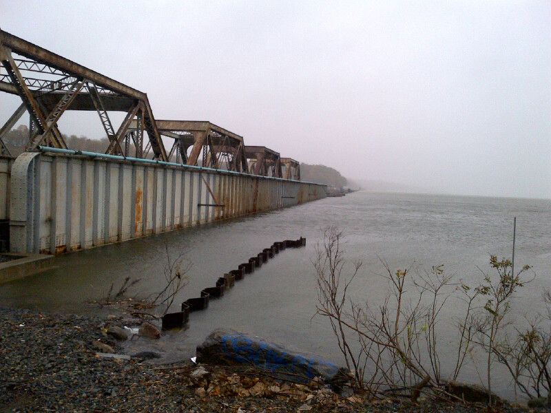
Croton River
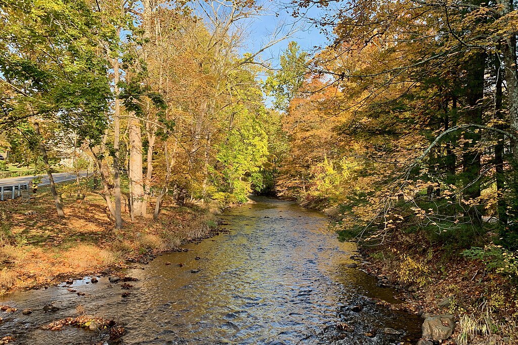
Lamington River
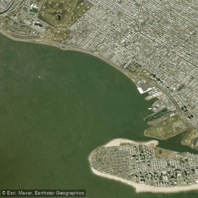
Gravesend Bay
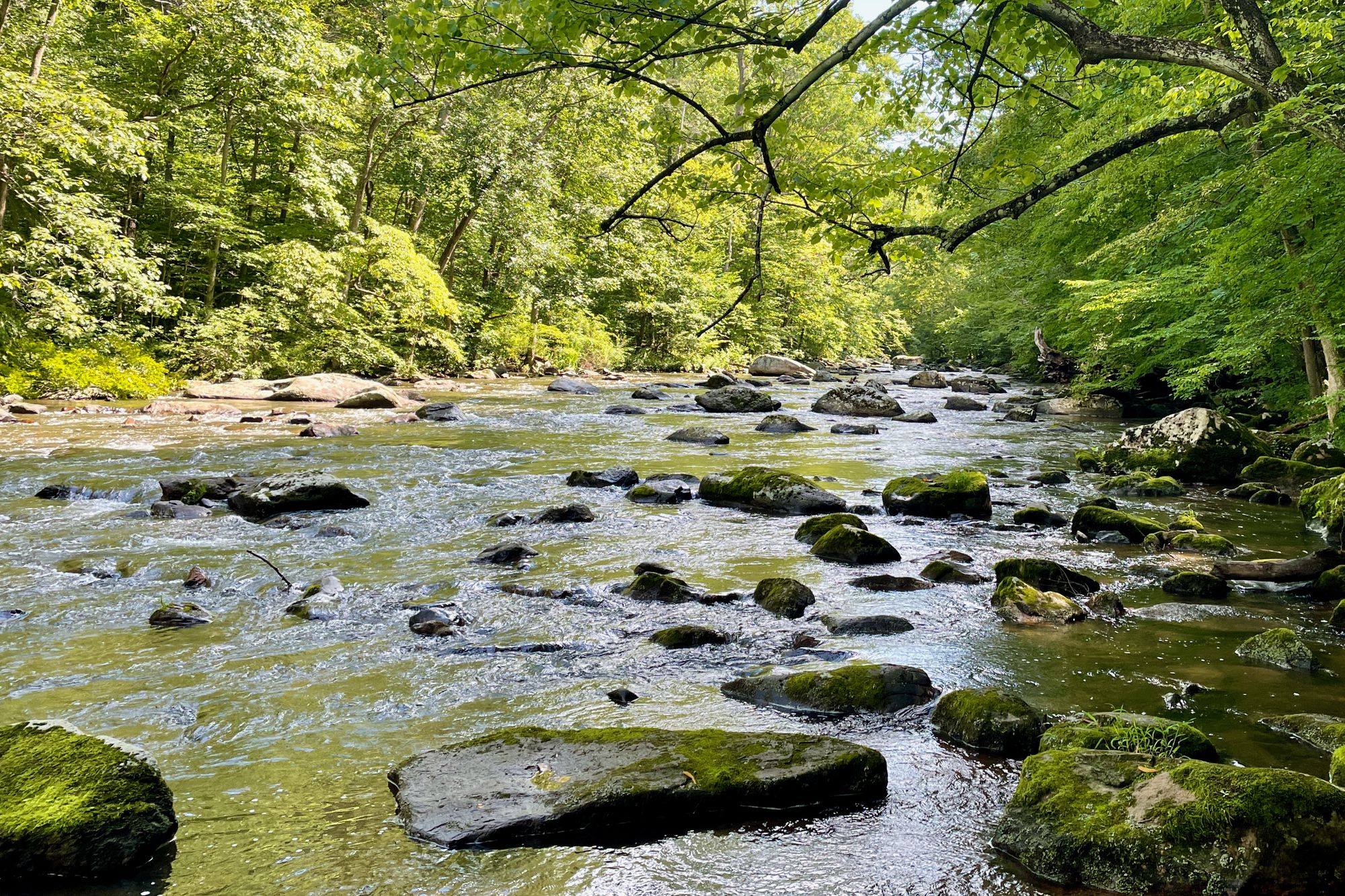
South Branch Raritan River
Explore New York waters
Top paddling waters
Popular Cities
Loading popular cities...
Explore near Rockaway Inlet/Jamaica Bay Federal Navigation Channel
Access points
Nearby waters
More in New York

Smarter Paddling Starts in the App.
Paddleways gives you everything you need to plan smarter, paddle better, and own every trip from first launch to takeout.