Stony Point Bay
- Saltwater
- Bay
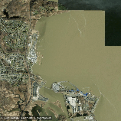
Stony Point Bay
- Saltwater
- Bay
- Sq. miles
- 0.5
- Boat Ramps
- 2
- Access Points
- 0
- Campsites
- 2
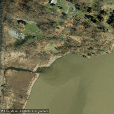
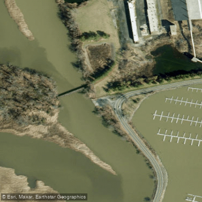
Stony Point Bay is a broad, shallow embayment of the Hudson River, characterized by extensive marsh wetlands and mudflats, particularly at its southern end near Grassy Point. The bay's littoral zone is expansive, with significant areas becoming exposed at low tide. The primary access points are the Town of Haverstraw Kayak Launch located within Minisceongo Creek on the bay's eastern side and the Stony Point Bay Marina & Yacht Club on the western shore. The marina offers a concrete launch ramp with floating docks, feeding into a protected cove that shelters it from the main river's currents and boat wakes; a fee applies for use. The Haverstraw launch provides direct access to the bay and the adjacent Minisceongo Creek delta, a system of lowland meanders important for wildlife. Paddling in the marsh wetlands south of the bay is best done around high tide to navigate the shallows and mudflats. The bay is exposed to the main Hudson River channel, and wind forecasts for the area frequently mention significant gusts and short wave periods, indicating conditions can become choppy quickly. Boat traffic from marinas and clubs is present. A notable paddling route crosses the bay from Haverstraw Bay Park to the south side of Stony Point Park, passing the historic 1826 Stony Point Lighthouse, which is accessible via a short hike from a beach landing. The area supports diverse wildlife, including waterfowl, striped bass, and blue crabs, particularly in the late summer and early fall within the tributary creeks.
Water access, boat ramps & amenities
Learn how to get on Stony Point Bay. Uncover great paddling access points, boat ramps, and all the facilities you need for an unforgettable day on the water. Some locations shown may border or include private property. Always check property boundaries and applicable regulations before visiting. PaddleWays's Public & Private Land layer can help you plan your access with confidence.
Paddle smarter with real-time insights
Whether you're en route and conditions shift or you're looking for the best spot based on current flows, we enable you to make informed decisions on the fly.








Find Places to Paddle

Over 400,000 Places to Paddle
Every user gets free access to launch points, boat ramps, and public property parcels.


Tides, wind & water conditions (10 day forecast)
On open water, wind and tide matter as much as the weather. See the best times to paddle Stony Point Bay and check the marine forecast before you launch.
Loading tide predictions…
Paddling near Stony Point Bay

Hudson River

Croton River
Peekskill Bay
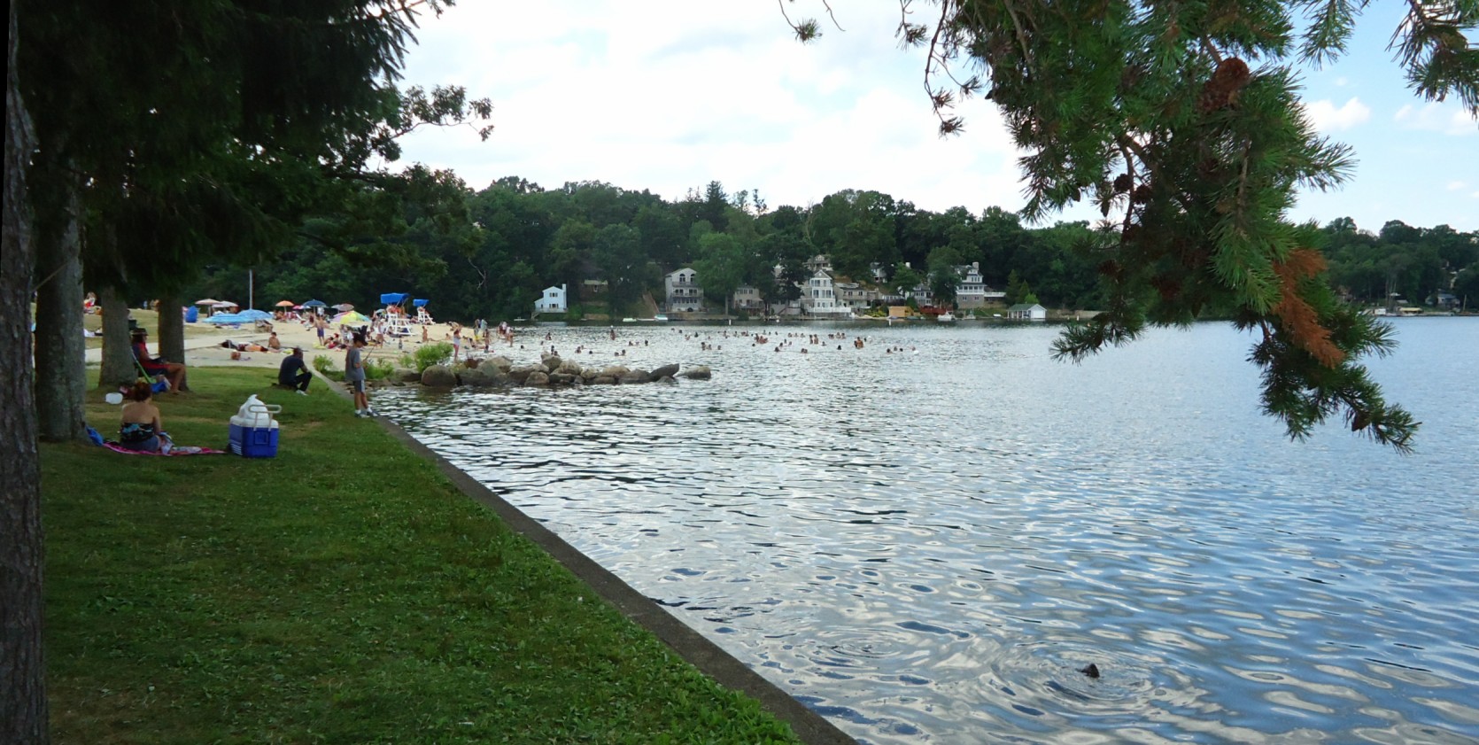
Lake Hopatcong
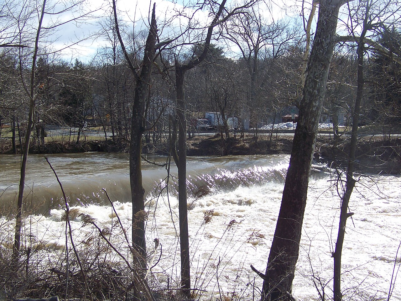
Wappinger Creek
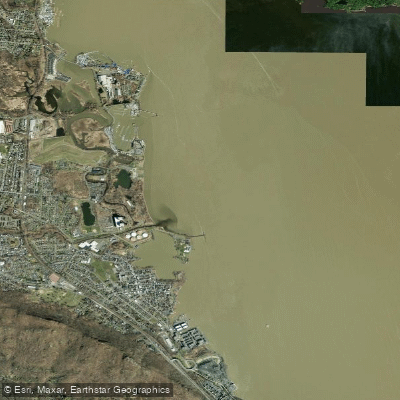
Haverstraw Bay

Housatonic River

Delaware River
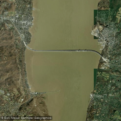
Tappan Zee
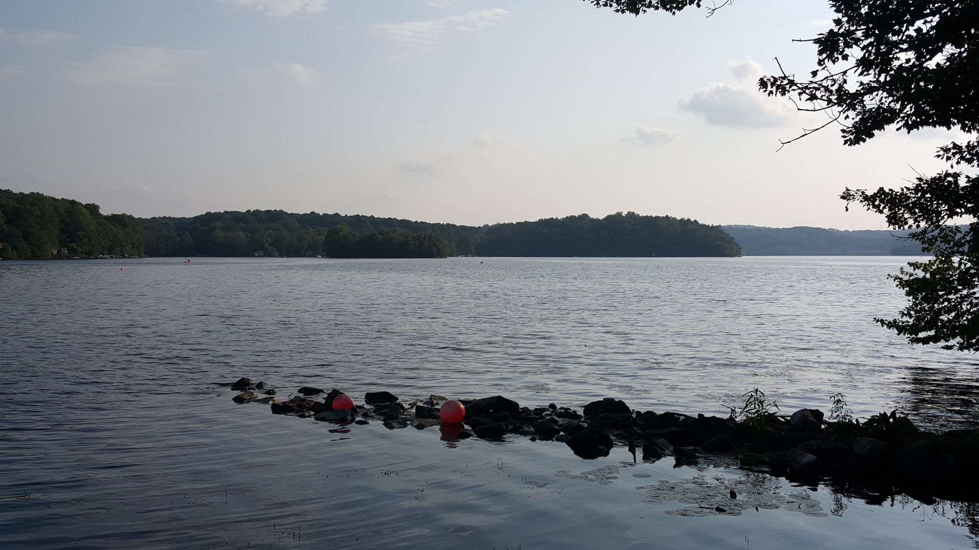
Swartswood Lake
Explore New York waters
Top paddling waters
Popular Cities
Loading popular cities...
Explore near Stony Point Bay
Access points
Nearby waters
More in New York

Smarter Paddling Starts in the App.
Paddleways gives you everything you need to plan smarter, paddle better, and own every trip from first launch to takeout.