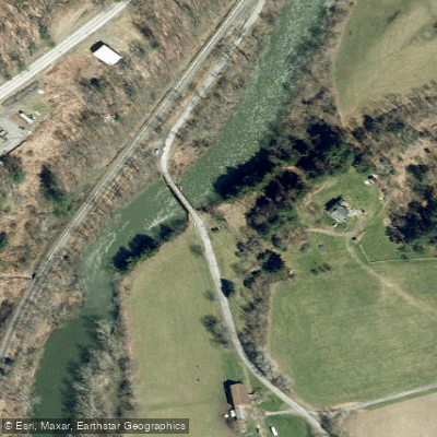
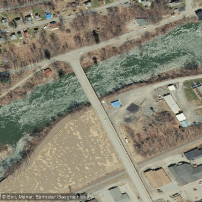
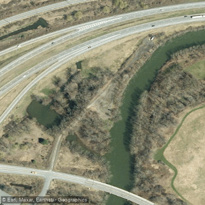
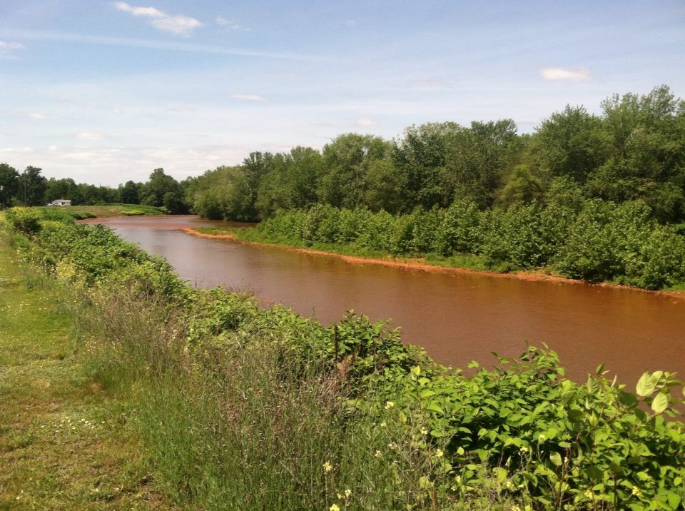
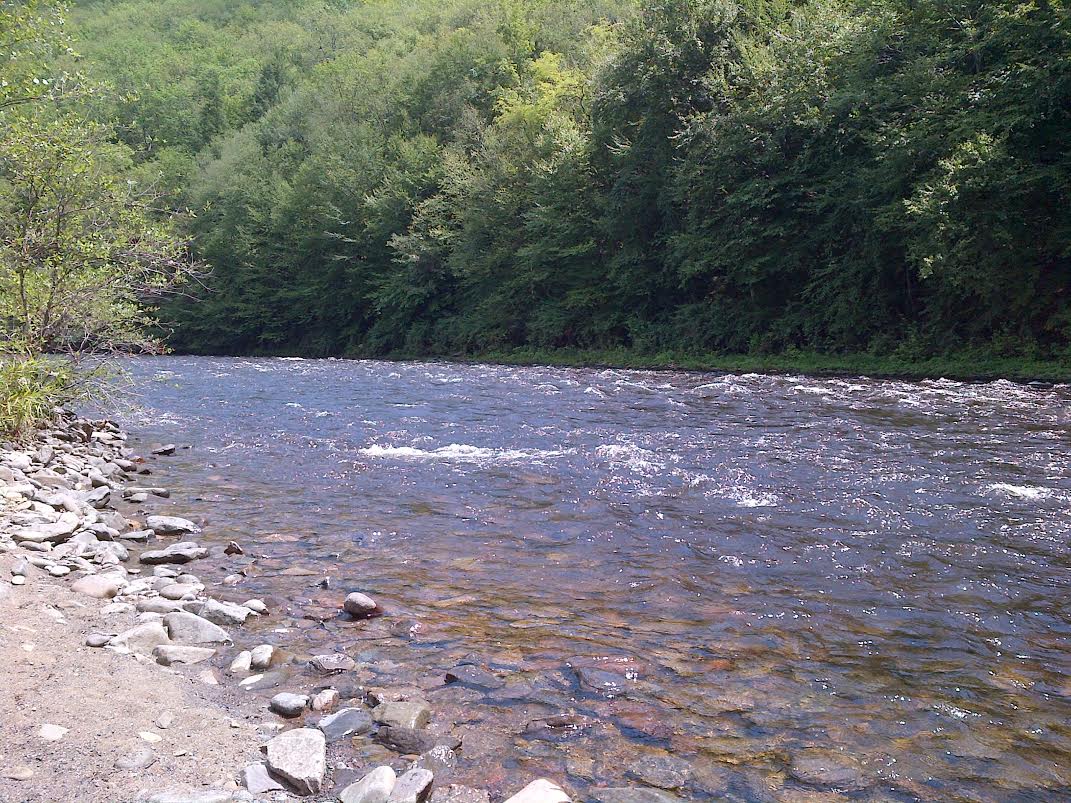
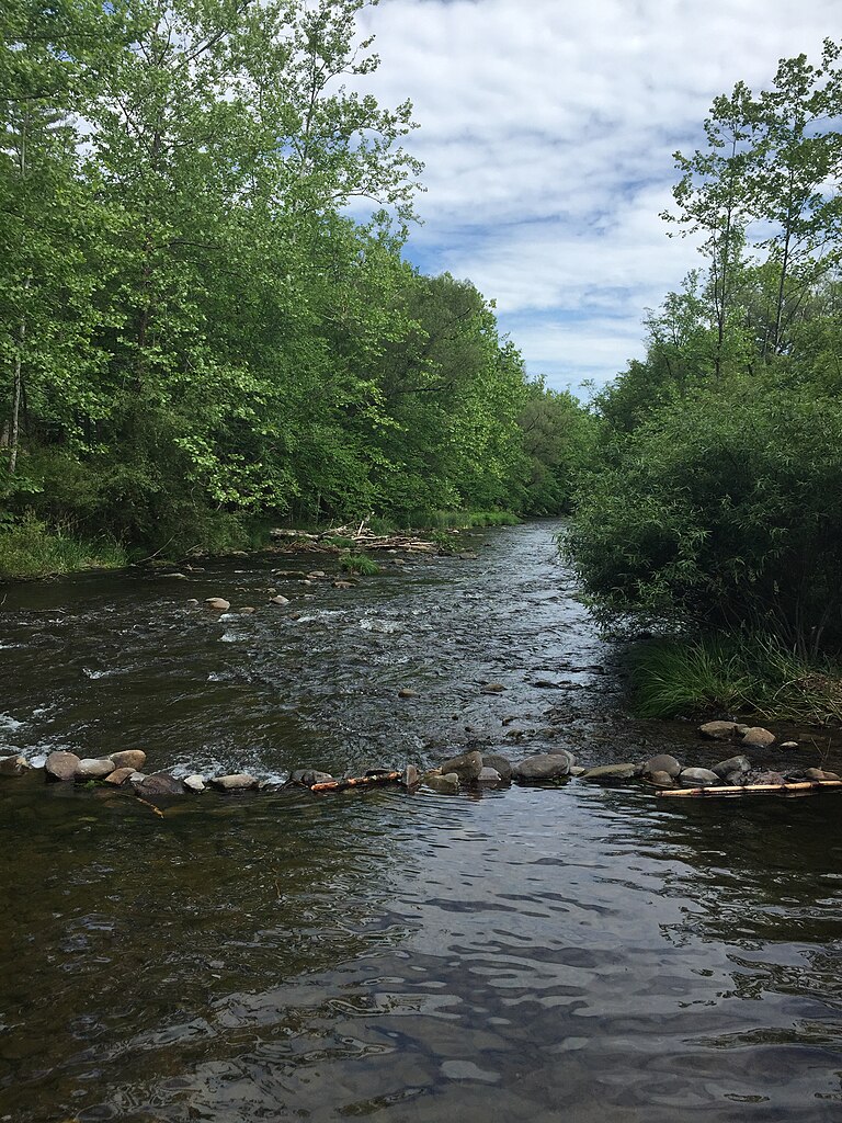
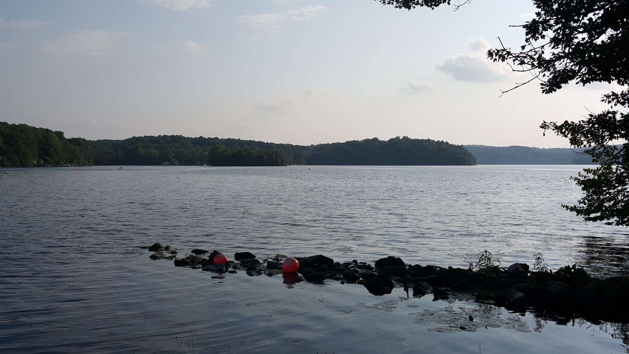
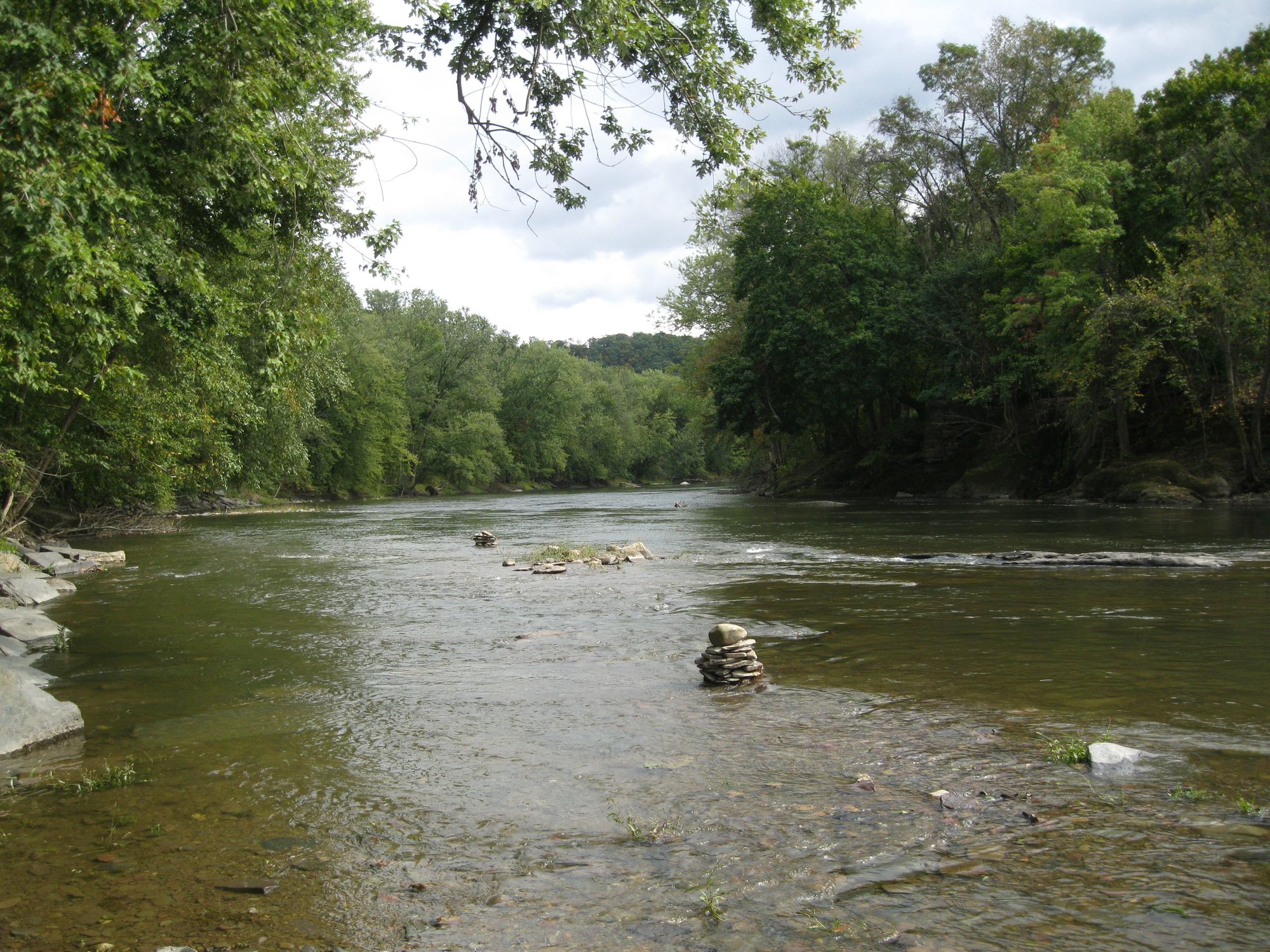
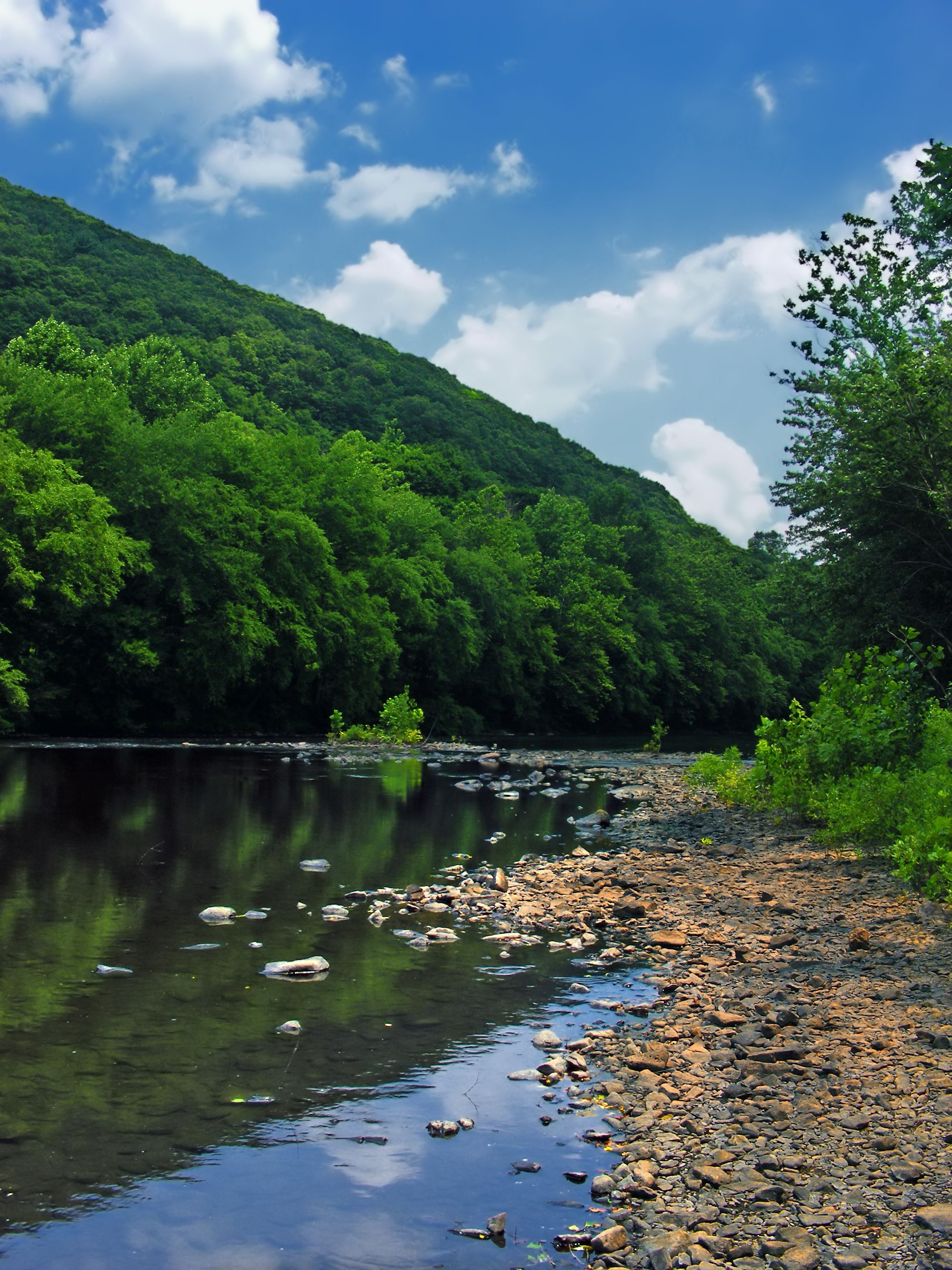
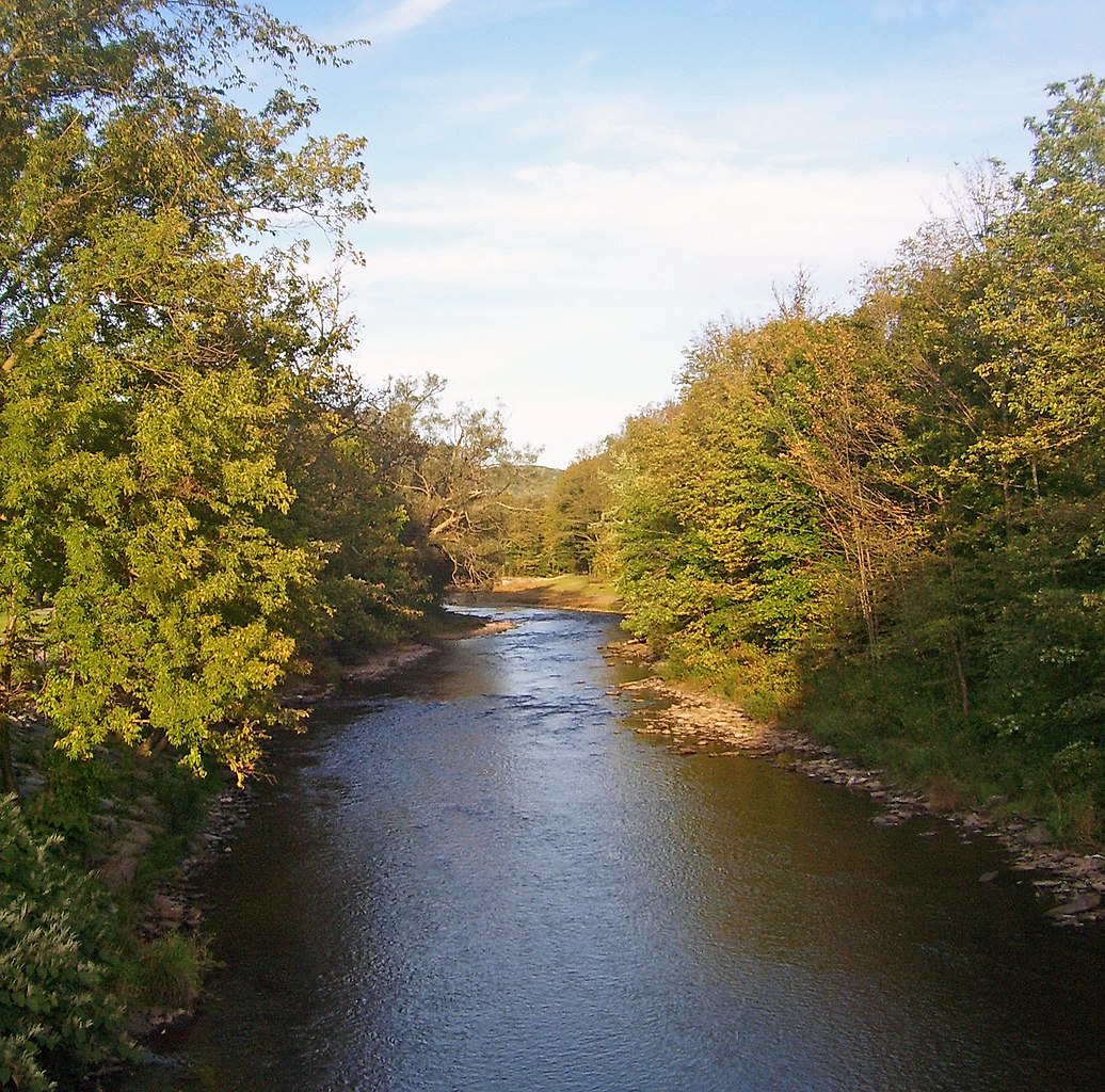
The Susquehanna River, the longest river on the East Coast of the United States, offers a diverse and captivating paddling experience across its 444-mile journey from New York through Pennsylvania to Maryland. This ancient waterway, older than the mountains it traverses, presents paddlers with a remarkable variety of landscapes, from remote wilderness to historic river towns.
The river is divided into four main sections: the North Branch, West Branch, Middle Section, and Lower Section. Each offers its own unique character and paddling opportunities. The North Branch, stretching from Cooperstown, NY to Northumberland, PA, features a mix of gentle flows and occasional riffles, making it ideal for novice to intermediate paddlers. The West Branch, running 228 miles through the Pennsylvania Wilds, provides a more secluded experience with its remote forests and abundant wildlife.
The Middle and Lower sections of the Susquehanna offer a blend of wide, calm stretches interspersed with areas of swifter current and occasional Class I-II rapids. The river widens considerably as it approaches the Chesapeake Bay, creating lake-like conditions in some areas due to hydroelectric dams.
While much of the Susquehanna is suitable for beginners, there are challenging sections that demand more experience, particularly in the Lower Section where Class II-III rapids can be found. Paddlers should always check current conditions and be prepared for changing water levels. Spring and early summer typically offer the best water levels for paddling, though the river is generally navigable from late spring through fall. During peak summer months, some sections may become quite shallow, requiring careful navigation.
The Susquehanna is renowned for its rich biodiversity. Paddlers can expect to see a variety of bird species, including bald eagles, ospreys, great blue herons, and waterfowl. The river and its banks are home to numerous fish species, white-tailed deer, and occasionally black bears in more remote areas.
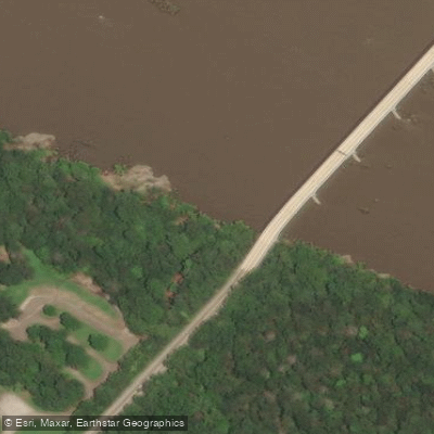
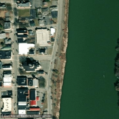
Notable landmarks along the river include the Pennsylvania Grand Canyon on Pine Creek (a major tributary), the Statue of Liberty replica near Harrisburg, and several historic bridges. The river passes through or near numerous towns that offer access points and amenities, including Sayre, Wilkes-Barre, Harrisburg, and Havre de Grace.
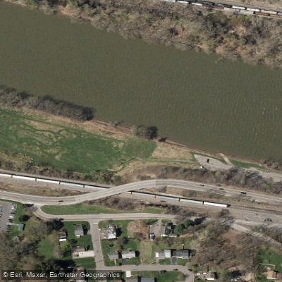
Historically, the Susquehanna played a crucial role in the development of the region, serving as a major transportation route and power source. Today, remnants of old canals, locks, and mill towns can be seen along its banks, offering glimpses into the area's industrial past.
Safety is paramount on the Susquehanna. Paddlers should be aware of dam locations and required portages, wear life jackets at all times, and be prepared for changing weather conditions. Some sections require launch permits, so it's essential to check local regulations before setting out.
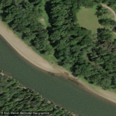
For those seeking a multi-day adventure, the West Branch offers excellent opportunities for wilderness camping trips, while the Lower Section provides a mix of developed campgrounds and primitive island camping. A popular multi-day trip is the 100-mile stretch from Sunbury to Harrisburg, which typically takes 5-7 days to complete.
Whether you're looking for a leisurely day trip or an extended journey, the Susquehanna River offers a paddling experience rich in natural beauty, wildlife encounters, and historical significance. Its diverse sections cater to a wide range of skill levels, making it a premier destination for canoeists and kayakers in the northeastern United States.