Curated by PaddleWays
RouteFlatwater
- Distance
- 5.3 mi
- Paddle time
- ~2 hrs
- Put-in → take-out
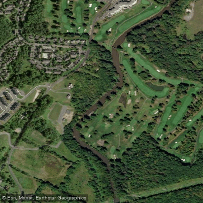
- Thomas Bull Memorial Park Boat Ramp → Benedict Farm Park Boat Ramp
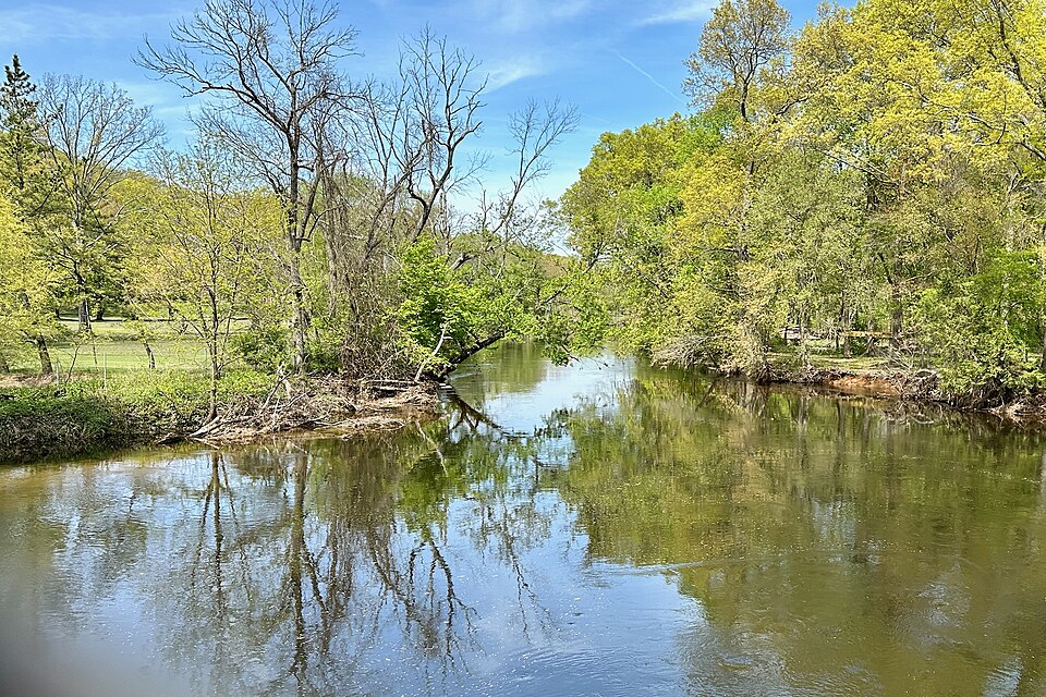
The Wallkill River is a significant waterway that flows through New Jersey and New York, originating at Lake Mohawk in Sparta, NJ and traveling approximately 88 miles northeast to its confluence with Rondout Creek near Rosendale, NY. The river flows through the broad Wallkill Valley nestled between the Appalachian Mountains and the New York-New Jersey Highlands.
Paddling opportunities abound on the Wallkill, with sections suitable for beginners to intermediate paddlers. The river primarily offers flatwater to Class I rapids, with a few Class II sections in New Jersey. Popular paddling routes include the New Paltz area, Sturgeon Pool, and various sections in Sussex County, NJ. The river's generally gentle current makes it ideal for leisurely trips and wildlife viewing. The best paddling season typically runs from spring through fall, with water levels being a key consideration. Flow under 1000 cfs is considered low, 1000-2000 cfs moderate, and over 2000 cfs high, potentially creating swifter currents in some areas.
The Wallkill River corridor supports diverse ecosystems, including expansive wetlands and agricultural lands. Paddlers may encounter various bird species, turtles, and fish. The river passes through the Wallkill River National Wildlife Refuge, offering excellent opportunities for nature observation. Key landmarks include the historic Perrine's Bridge, a covered bridge near New Paltz, and Sturgeon Pool, a wide, dammed section of the river. The Dashville Dam requires a portage for through-paddlers.
Major access points include Bassetts Bridge and Oil City Road in NJ, and multiple launches in New Paltz, NY, including Sojourner Truth Park. Other notable access areas are in Walden, Wallkill, and near the NYS Thruway.
The river holds historical significance as a transportation route and power source for early settlements. Today, it's an important recreational resource and part of efforts to improve water quality and habitat conservation. Safety considerations include checking water levels before trips, being aware of dams and other obstacles, and following local regulations. Some sections, like Sturgeon Pool to Rondout Creek, involve challenging portages.
Multi-day trips are possible, with options to paddle from Walden to New Paltz or explore longer stretches of the Wallkill River Water Trail. Local outfitters in New Paltz offer rentals and guided tours for those looking to experience this scenic river.
Curated routes
Hand-picked by the PaddleWays team, with put-ins, take-outs, paddle times and the hazards along the way.
RouteFlatwater
RouteFlatwater
Hazards
Reported by paddlers, with the dams, falls and big rapids on our map. Hazards change with flows and storms, so check them before you launch.
Strainer
Fairly easy portage
Strainer
No details were given with this report.
Strainer
No details were given with this report.
Strainer
No details were given with this report.
From the community
Real trips from PaddleWays paddlers: which route they ran, how the flows were, and what to watch for.
Loading trip reports
Michael G.
1.8 ft at Scott Road
Walkill river at Scott Road (Franklin NJ) = 1.8 feet > shallow in areas (especially the beginning) but no issues. Has a few log jams in first half that you need to portage.
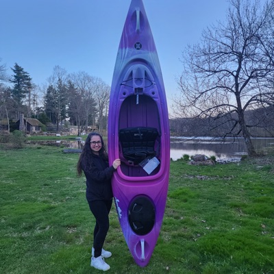
Izzy Z.
Kayak •
Orange County Arboretum to Benedict Farm
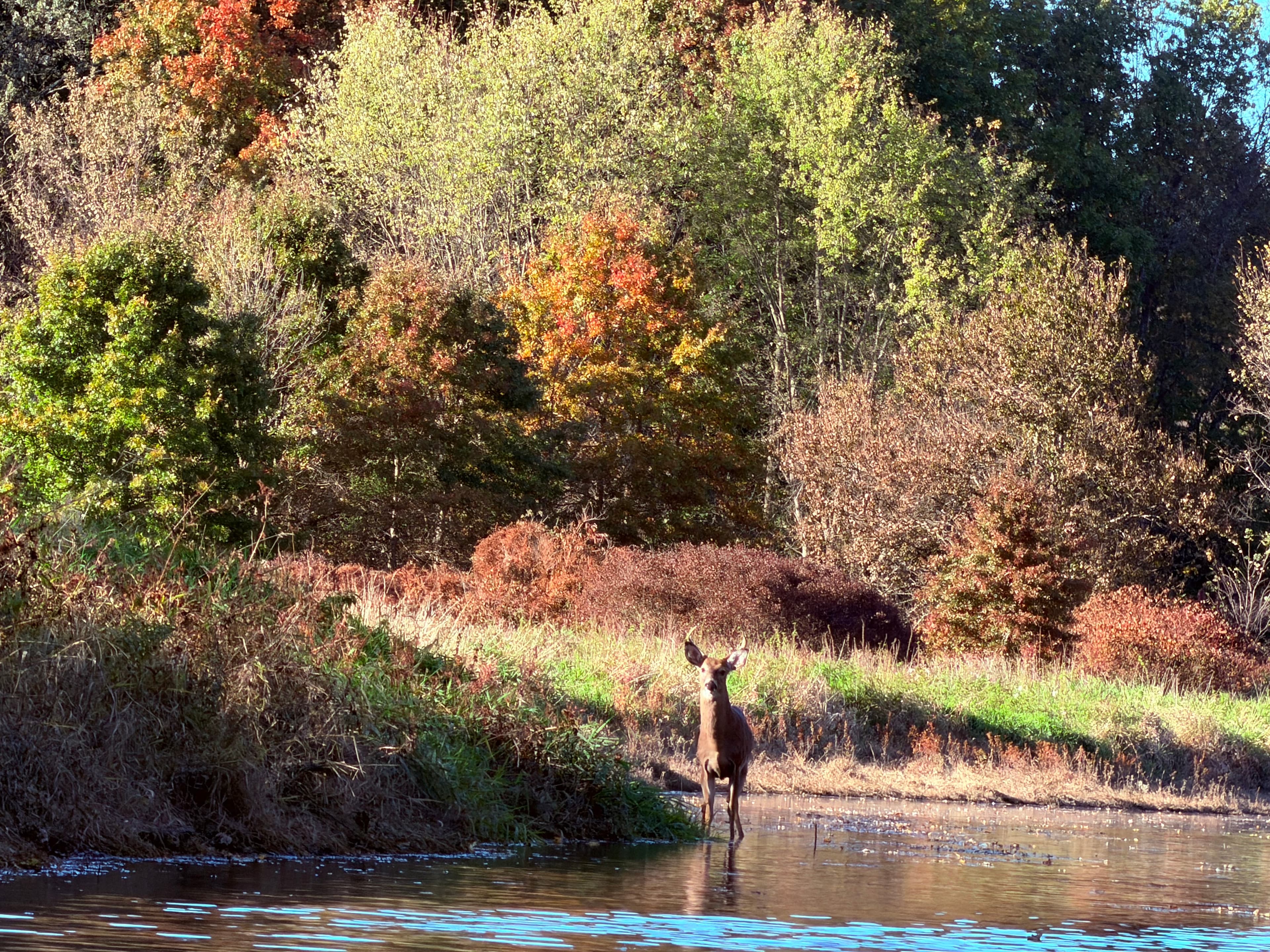
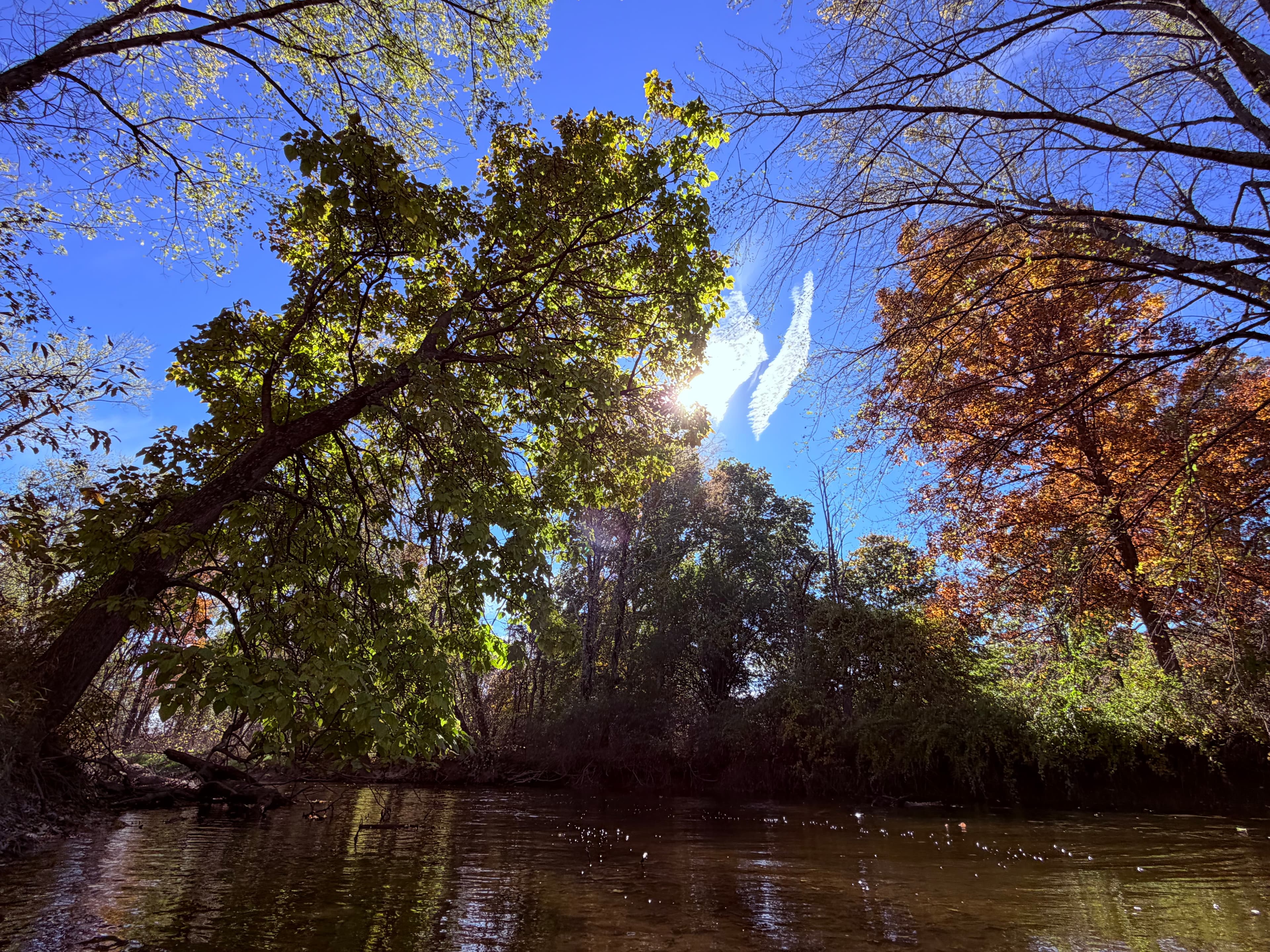
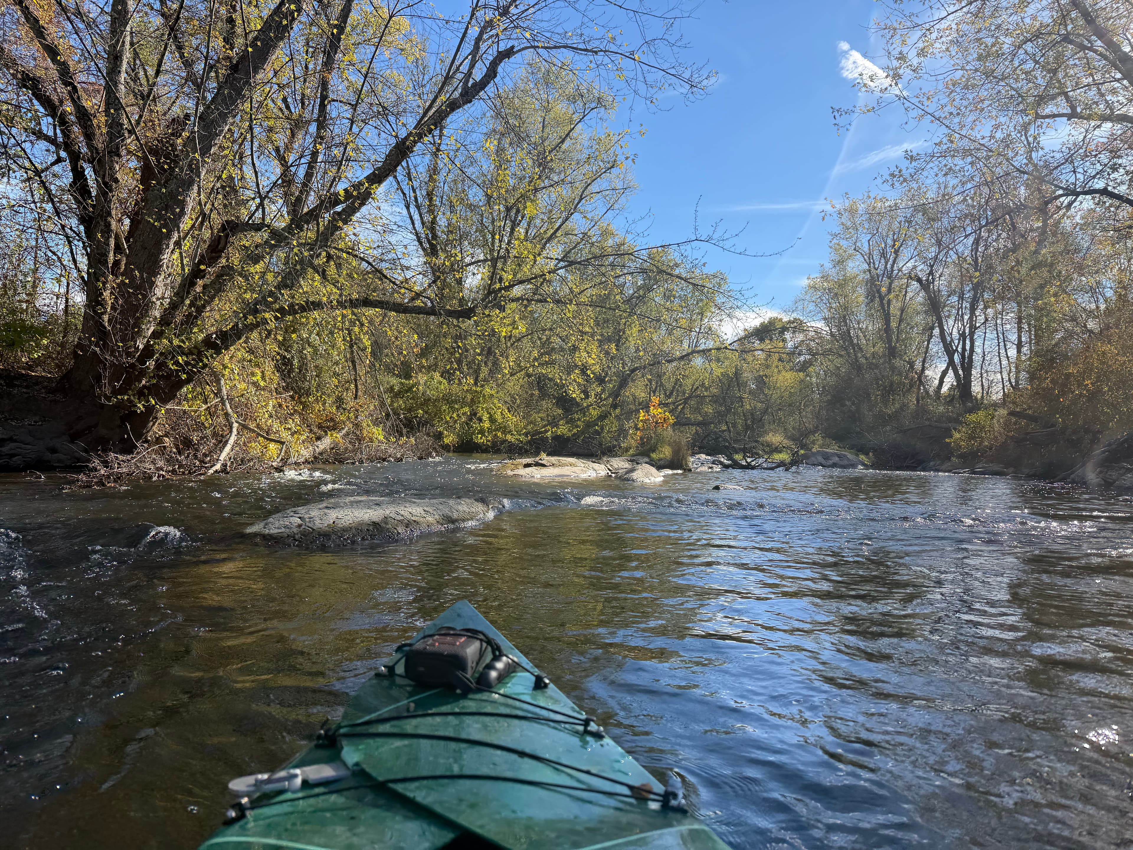
We took our time and barely paddled. River was average level, not too strong of a current
See exactly where the public can get on and off the river. Launch points and boat ramps are paired with PaddleWays' public land data so you know where you can legally land.
Public shoreline
8%of the river's shoreline is public
Most of the riverbank is private. Launch, land and camp only at public access points.
Flows, weather and a route-by-route verdict, so you know which stretch of the Wallkill River is worth paddling today.
All Flow Stations
Live flows, marked hazards and fresh trip reports from paddlers who were just on the water, all in one place.





Every user gets free access to launch points, boat ramps, and public property parcels.


Loading popular cities...
PaddleWays gives you everything you need to plan smarter, paddle better, and own every trip from first launch to takeout.