Worlds End
- Saltwater
- Sea area
Worlds End
- Saltwater
- Sea area
- Sq. miles
- 0
- Boat Ramps
- 0
- Access Points
- 0
- Campsites
- 0
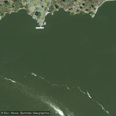
Worlds End in Hingham, Massachusetts, is a 251-acre coastal peninsula bordered by Hingham Harbor and the Weir River, offering a saltwater paddling environment with dramatic views of the Boston skyline and harbor islands. The property, owned by The Trustees, features over four miles of trails and carriage roads but does not have a dedicated boat launch. The primary public launch for paddlers accessing this area is at Hingham Harbor Beach/Park on Route 3A. Timing the launch and landing is critical, as the best time to put in and take out is within an hour or so of high tide; at low tide, the bottom becomes very mucky, creating a difficult and messy exit. From this launch, paddlers can explore Hingham Harbor and nearby destinations, including the small Hingham Harbor Islands (Button, Ragged, Sarah, and Langlee) and the more exposed Bumpkin, Grape, and Slate Islands, which are part of the Boston Harbor Islands National Park Area. Crossing channels to reach islands like Bumpkin requires caution due to boat traffic, and paddlers should cross as a group and quickly. The crossing to Bumpkin Island is less protected than the harbor, and paddlers can experience strong winds, chop, and swells, requiring suitable skill levels. The area is a working harbor with mooring fields and the Hingham Yacht Club, so awareness of boat traffic is essential. Parking at the Hingham Harbor launch is available, though specific fees are not detailed. The Worlds End peninsula itself provides a scenic backdrop and potential landing spots, but access to its shores from the water is subject to the property's public visiting hours, which are year-round from 8 AM to sunset. Advance parking passes are required for land access on weekends and holidays. The paddling experience blends protected bay paddling within Hingham Harbor with more exposed open-water crossings to the islands, offering views of salt marshes, granite ledges, and the Boston skyline.
Water access, boat ramps & amenities
Learn how to get on Worlds End. Uncover great paddling access points, boat ramps, and all the facilities you need for an unforgettable day on the water. Some locations shown may border or include private property. Always check property boundaries and applicable regulations before visiting. PaddleWays's Public & Private Land layer can help you plan your access with confidence.
Paddle smarter with real-time insights
Whether you're en route and conditions shift or you're looking for the best spot based on current flows, we enable you to make informed decisions on the fly.








Find Places to Paddle

Over 400,000 Places to Paddle
Every user gets free access to launch points, boat ramps, and public property parcels.


Tides, wind & water conditions (10 day forecast)
On open water, wind and tide matter as much as the weather. See the best times to paddle Worlds End and check the marine forecast before you launch.
Loading tide predictions…
Paddling near Worlds End

Hudson River

Croton River
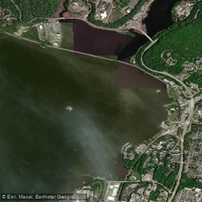
Peekskill Bay
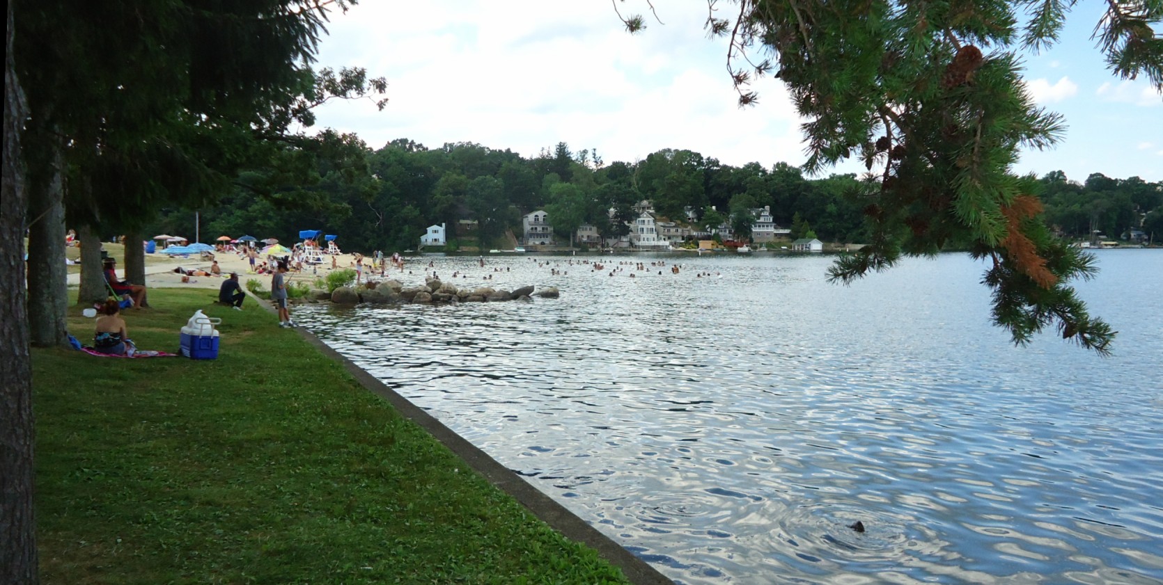
Lake Hopatcong
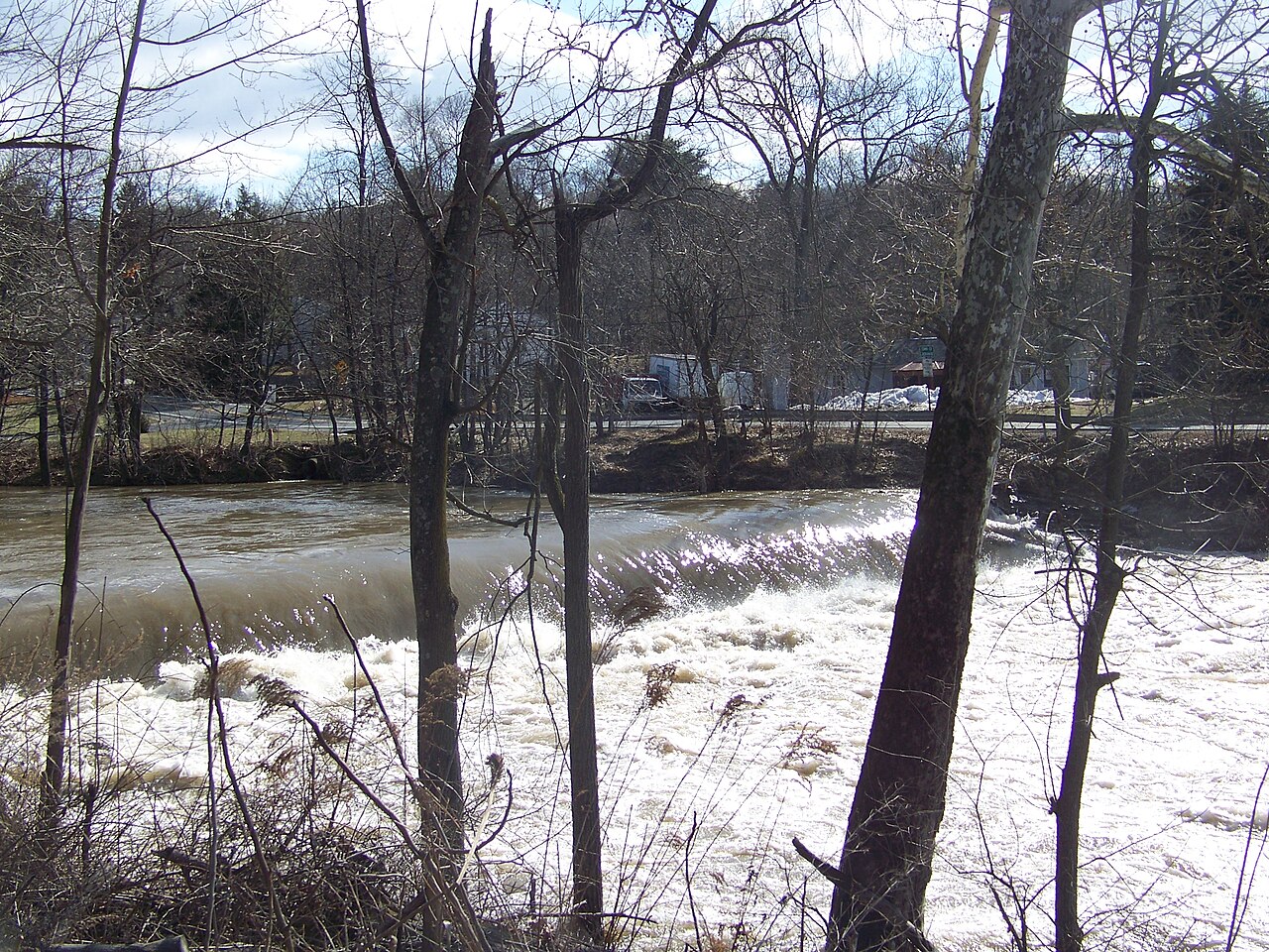
Wappinger Creek
Haverstraw Bay

Housatonic River

Delaware River
Tappan Zee
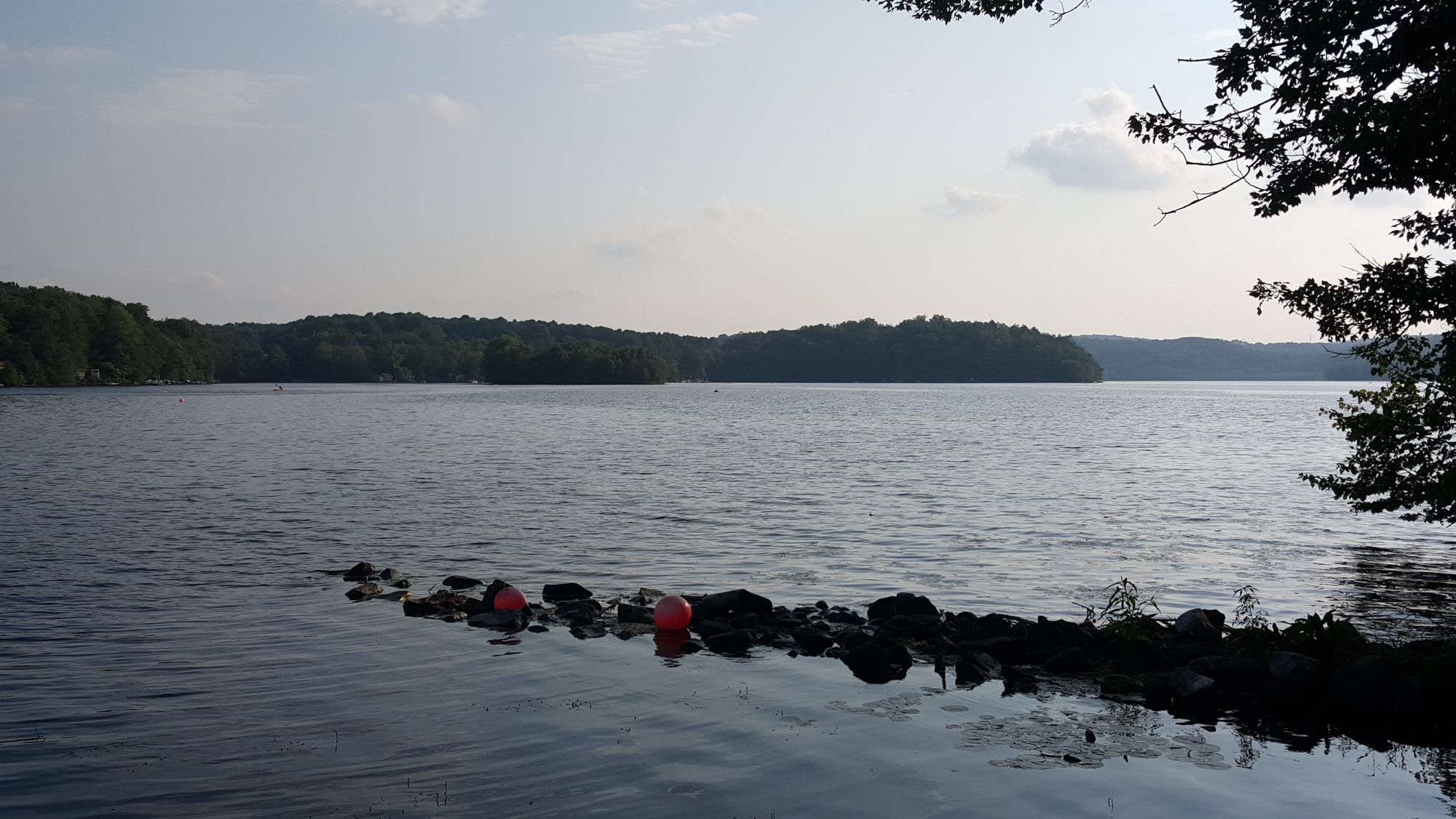
Swartswood Lake
Explore New York waters
Top paddling waters
Popular Cities
Loading popular cities...
Explore near Worlds End
Access points
Nearby waters
More in New York

Smarter Paddling Starts in the App.
Paddleways gives you everything you need to plan smarter, paddle better, and own every trip from first launch to takeout.