Curated by PaddleWays
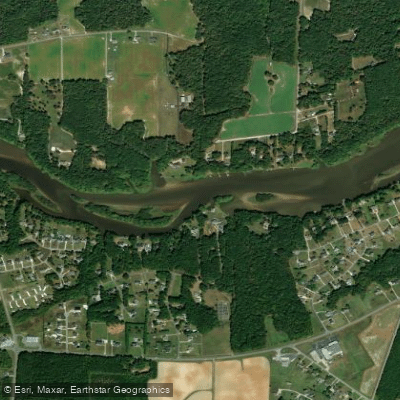
Old Milburnie Road to Poole Road
on Neuse River · 7 mi away
RouteClass II
- Distance
- 3.5 mi
- Paddle time
- ~1 hr
- Put-in → take-out
- Milburnie Dam Boat Ramp → Poole Road Boat Ramp
Seat of Wake County and a self-described 'city in a park' with over 10,000 acres of parkland, Raleigh puts paddlers within reach of two of North Carolina's biggest rivers — the Neuse and the Cape Fear. The Neuse River, the longest river contained entirely within the state, runs more than 250 miles from North Raleigh to the Pamlico Sound, while reservoirs like Falls Lake and Jordan Lake ring the city with hundreds of miles of shoreline.
Curated routes
Hand-picked by the PaddleWays team, with put-ins, take-outs and paddle times. Levels are read from live gauges.
on Neuse River · 7 mi away
RouteClass II
on Neuse River · 7 mi away
RouteFlatwater
on Neuse River · 13 mi away
RouteFlatwater
on Neuse River · 17 mi away
RouteFlatwater
on Eno River · 20 mi away
RouteClass I–II
on Eno River · 24 mi away
RouteClass I–II
on New Hope Creek · 24 mi away
RouteClass II–III
on New Hope Creek · 25 mi away
RouteClass II–IV
on Eno River · 25 mi away
RouteClass I–II
on Eno River · 26 mi away
RouteClass I–III
on Eno River · 26 mi away
RouteClass I–II
Whether you're en route and conditions shift or you're looking for the best spot based on current flows, we enable you to make informed decisions on the fly.





PaddleWays gives you everything you need to plan smarter, paddle better, and own every trip from first launch to takeout.