Shearon Harris Reservoir
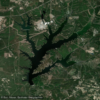
Shearon Harris Reservoir
- Boat Ramps
- 2
- Access Points
- 3
- Campsites
- 0
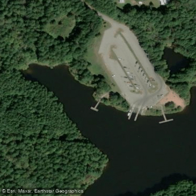
Shearon Harris Reservoir in North Carolina offers paddlers a 680-acre lake with several access points. The main park provides a car-top boat launch for canoes, kayaks, and paddleboards near the Peninsula trailhead and picnic area. Paddlers must carry their craft 150 yards from the parking area to the launch site. Two additional boat ramps with suitable kayak and canoe launching are located at Bartley Holeman Road and on Christian Chapel Church Road off Highway 42.
The lake is popular for fishing, with largemouth bass, black crappie, bluegill, and several catfish species. An accessible fishing pier is available near the picnic area. Paddlers may encounter power boats, especially on weekends and holidays. Early morning launches are recommended to avoid boat traffic.
The shoreline features diverse habitats, including longleaf pine stands and mixed oak/hickory hardwoods. Wildlife sightings may include deer, turkey, and waterfowl. The Peninsula Trail offers nearly 5 miles of hiking along the lakeshore.
No fees are required for lake access. Paddlers should note that no watercraft with trailers or motors may be launched from inside Harris Lake County Park. These users must use the Holleman's Crossing or Cross Point Landing boat ramps in other areas of the lake.
The park provides restrooms, picnic areas, and an educational garden showcasing native plants. A tackle loaner program is available for registered participants. The park is open daily from 8 a.m. to sunset, closing on major holidays. Paddlers should check with park staff regarding any temporary closures or special events that may impact lake access.
Water access, boat ramps & amenities
Learn how to get on Shearon Harris Reservoir. Uncover great paddling access points, boat ramps, and all the facilities you need for an unforgettable day on the water. Some locations shown may border or include private property. Always check property boundaries and applicable regulations before visiting. PaddleWays's Public & Private Land layer can help you plan your access with confidence.
Paddle smarter with real-time insights
Whether you're en route and conditions shift or you're looking for the best spot based on current flows, we enable you to make informed decisions on the fly.








Find Places to Paddle

Over 400,000 Places to Paddle
Every user gets free access to launch points, boat ramps, and public property parcels.


Water and weather conditions (10 day forecast)
See the best times to paddle Shearon Harris Reservoir and check the forecast before you go.
No forecast data available.
Paddling near Shearon Harris Reservoir
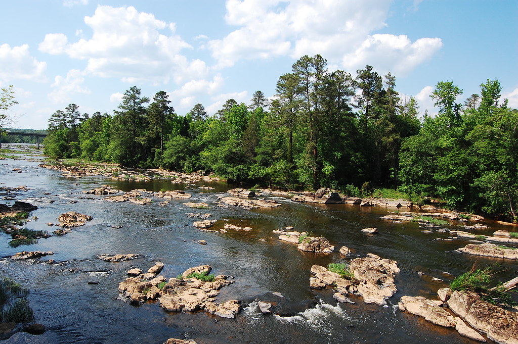
Haw River

Neuse River
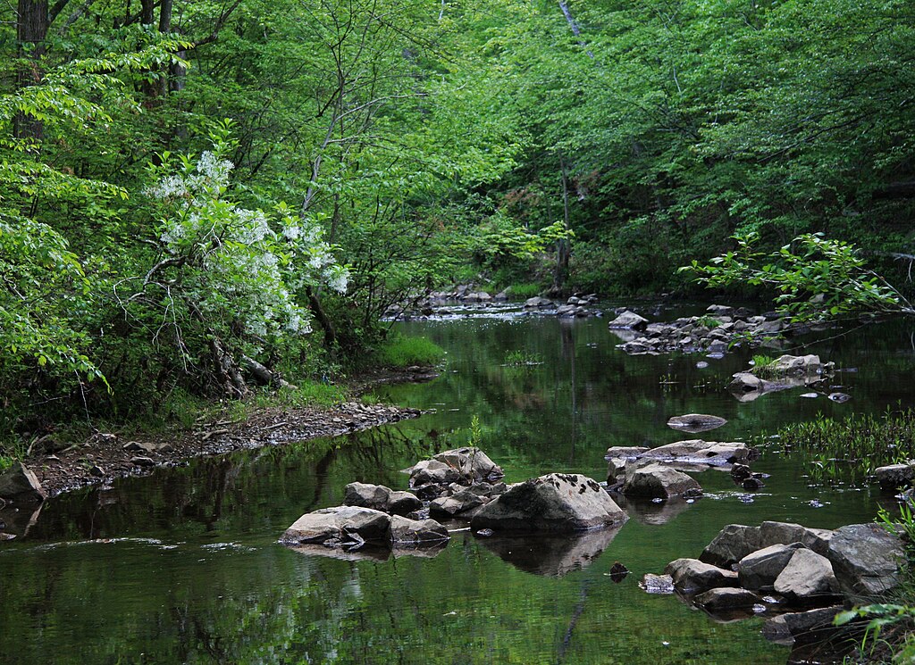
New Hope Creek
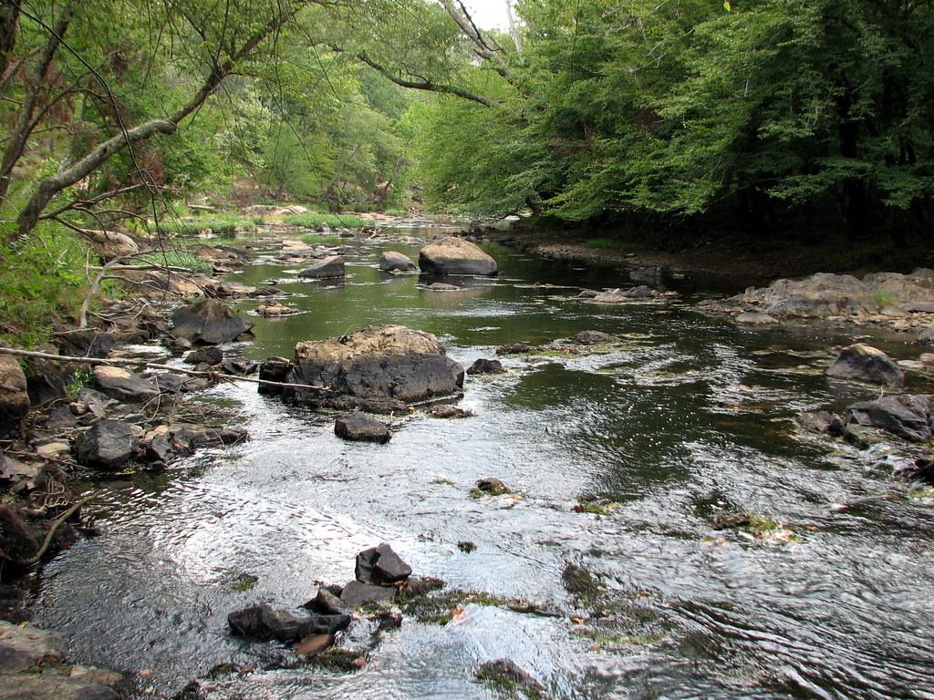
Eno River
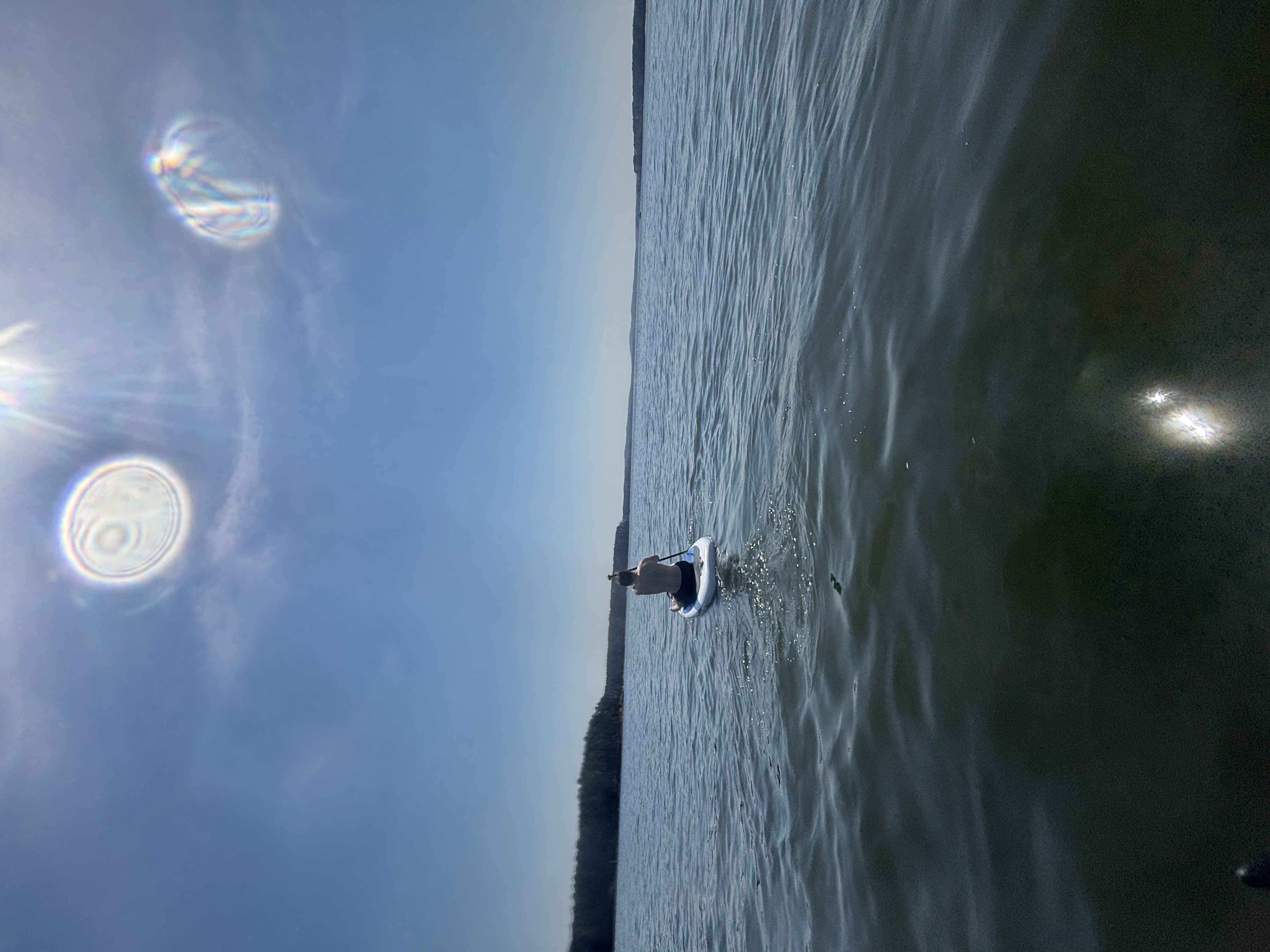
B Everett Jordan Lake
Cape Fear River
Deep River
Rocky River
Rhodes Pond
Explore North Carolina waters
Top paddling waters
Popular Cities
Loading popular cities...
Explore near Shearon Harris Reservoir
Access points
Nearby waters
More in North Carolina

Smarter Paddling Starts in the App.
Paddleways gives you everything you need to plan smarter, paddle better, and own every trip from first launch to takeout.