Cape Fear River
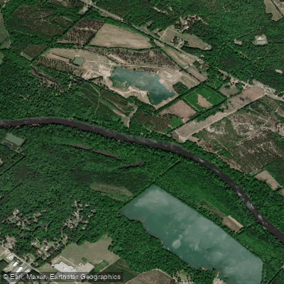
Cape Fear River
- Boat Ramps
- 9
- Access Points
- 9
- Campsites
- 2
The Cape Fear River is a major waterway in North Carolina, originating at the confluence of the Haw and Deep rivers near Moncure and flowing southeast for 202 miles before emptying into the Atlantic Ocean near Cape Fear. Its main tributaries include the Black River, Northeast Cape Fear River, and South River. The Cape Fear River Basin covers over 9,000 square miles in central and southeastern North Carolina.
The river offers diverse paddling opportunities across its length. The upper sections from Buckhorn Dam to Lillington feature exciting Class II-III rapids interspersed with calm stretches, ideal for intermediate paddlers. The middle sections from Lillington to Fayetteville transition to mostly flatwater with occasional Class I-II rapids. The lower river becomes a wide, slow-moving coastal plain waterway influenced by tides as it approaches Wilmington. Overall difficulty ranges from flatwater to Class III, with most sections suitable for beginner to intermediate paddlers. However, tidal influences near Wilmington can create challenging conditions requiring more experience. The best paddling is typically from spring to fall, with water levels highest in spring and early summer.
The river corridor supports diverse ecosystems, from piedmont forests to coastal swamps. Wildlife includes alligators, river otters, and numerous bird species. The endangered Cape Fear shiner fish is found in some tributaries. Key landmarks include Raven Rock State Park, historic downtown Fayetteville, and the USS North Carolina battleship in Wilmington. Popular access points include Lillington, Erwin, Fayetteville, and multiple locations in Wilmington.
The Cape Fear played a crucial role in North Carolina's development, serving as a major transportation route since colonial times. Today, it remains vital for commerce, recreation, and wildlife. Safety considerations include checking water levels, being aware of dam releases, and navigating tidal sections carefully. Multi-day trips are possible, with a popular 146-mile route from Lillington to Wilmington taking about a week. For paddlers seeking an epic adventure, the entire navigable length from Jordan Lake Dam to Wilmington covers over 190 miles of varied terrain, offering a comprehensive tour of central and eastern North Carolina's diverse landscapes and ecosystems.
Water access, boat ramps & amenities
Learn how to get on Cape Fear River. Uncover great paddling access points, boat ramps, and all the facilities you need for an unforgettable day on the water. Some locations shown may border or include private property. Always check property boundaries and applicable regulations before visiting. PaddleWays's Public & Private Land layer can help you plan your access with confidence.

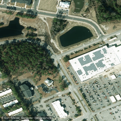
Paddle smarter with real-time insights
Whether you're en route and conditions shift or you're looking for the best spot based on current flows, we enable you to make informed decisions on the fly.








Find Places to Paddle

Over 400,000 Places to Paddle
Every user gets free access to launch points, boat ramps, and public property parcels.


Water and weather conditions (10 day forecast)
See the best times to paddle Cape Fear River and check the forecast before you go.
CAPE FEAR RIVER AT FAYETTEVILLE, NC
All Flow Stations
Paddling near Cape Fear River
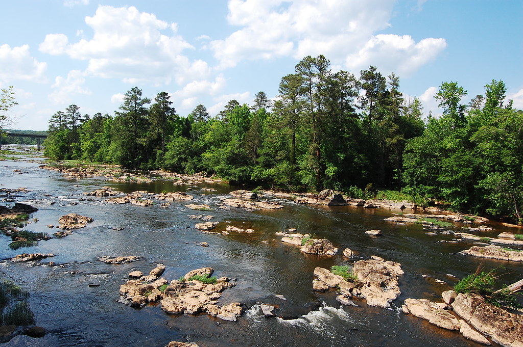
Haw River
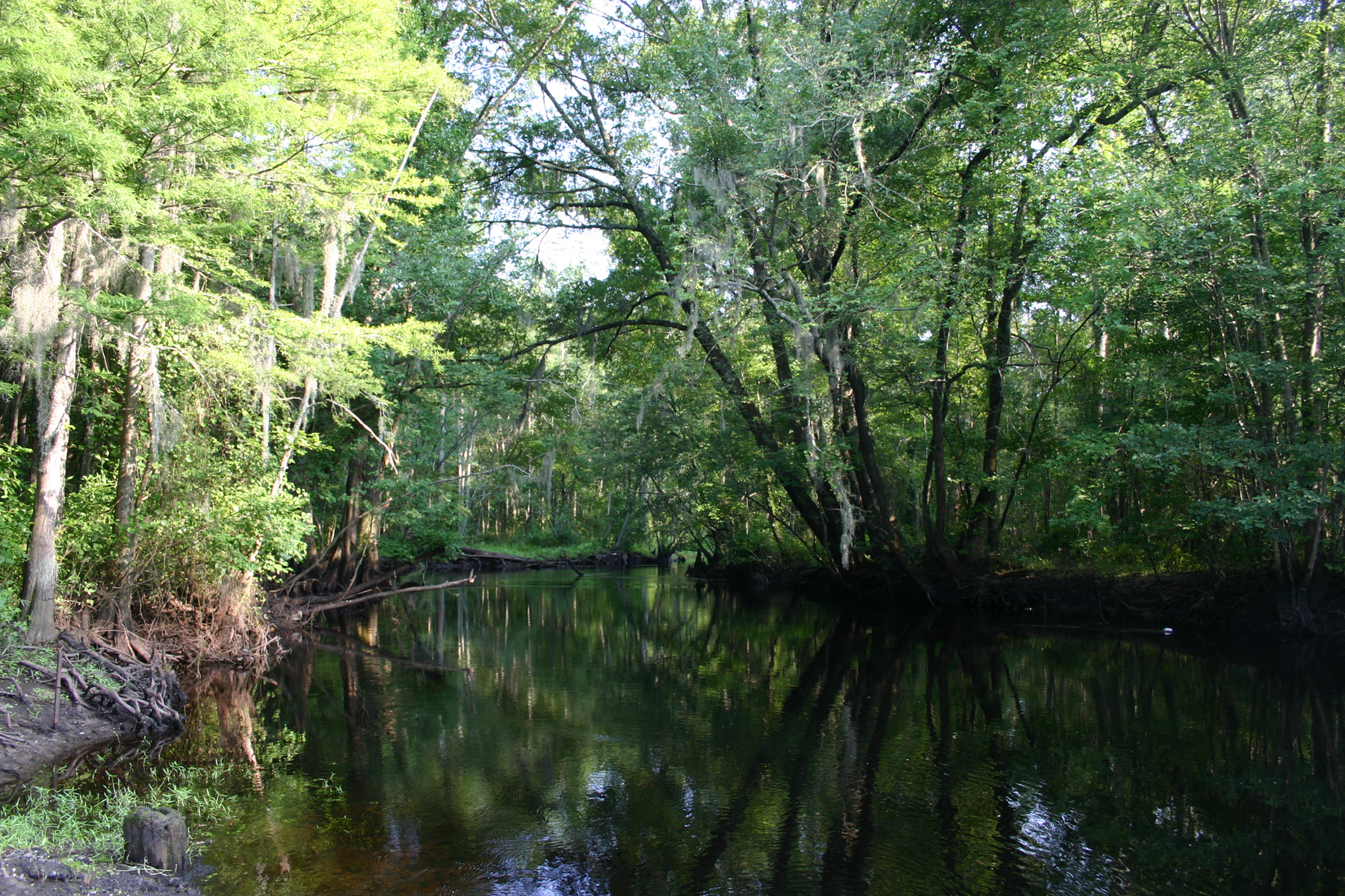
Little Pee Dee River

Neuse River
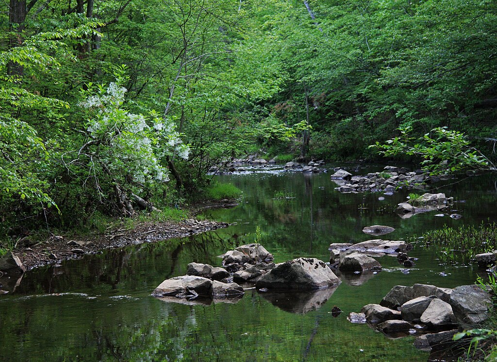
New Hope Creek
Lake Rim
Lumber River
Rhodes Pond
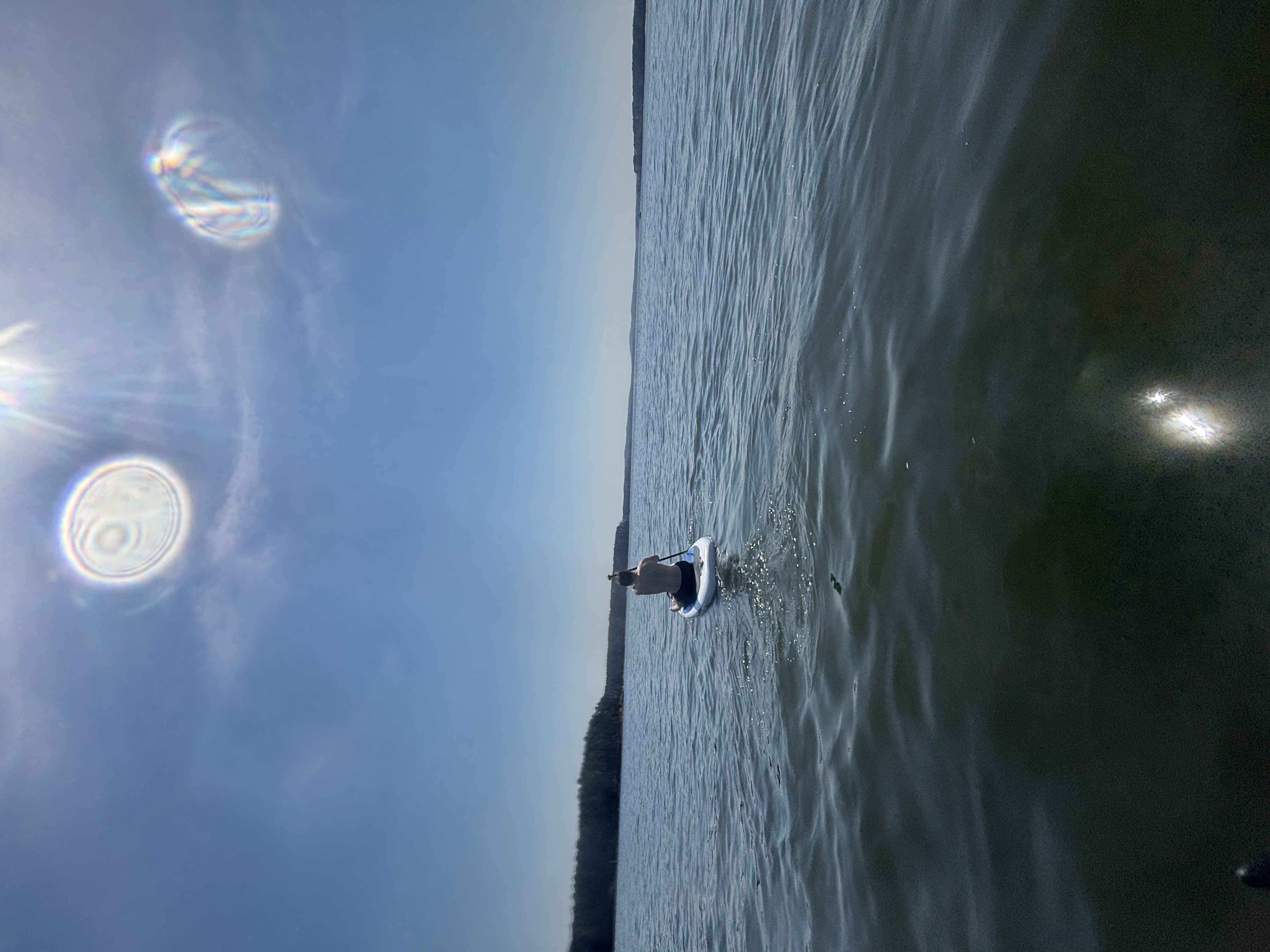
B Everett Jordan Lake
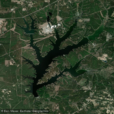
Shearon Harris Reservoir
Explore North Carolina waters
Top paddling waters
Popular Cities
Loading popular cities...
Explore near Cape Fear River
Access points
Nearby waters
More in North Carolina

Smarter Paddling Starts in the App.
Paddleways gives you everything you need to plan smarter, paddle better, and own every trip from first launch to takeout.