Deep River
Deep River
- Boat Ramps
- 3
- Access Points
- 11
- Campsites
- 2
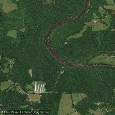
The Deep River originates in the Piedmont region of north-central North Carolina, flowing southeast for approximately 125 miles before joining the Haw River to form the Cape Fear River. Major tributaries include Rocky River and Bear Creek. The river's name derives from its steep banks rather than water depth.
Paddling opportunities abound along the Deep River's course, with sections suitable for beginners to advanced whitewater enthusiasts. The upper reaches near Randleman offer more challenging Class II-III rapids, while the middle and lower sections provide mostly flatwater paddling ideal for families and novices. Popular runs include the 12.6-mile stretch from Carbonton Dam to Deep River Park and the scenic 6.3-mile float from McIver Landing to Deep River Park.
Water levels fluctuate seasonally, with spring typically offering the most reliable flows. Summer and fall can provide pleasant paddling conditions, though some shallow areas may require portaging during dry periods. The river often remains navigable when other nearby waterways run low.
The Deep River corridor supports diverse ecosystems, from upland forests to bottomland hardwoods. Wildlife sightings may include great blue herons, bald eagles, river otters, and various turtle species. Remnants of the area's industrial past dot the shoreline, including old mill ruins and defunct dams.
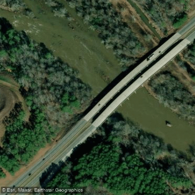
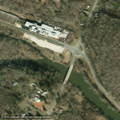
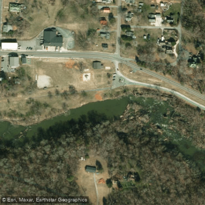
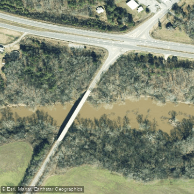
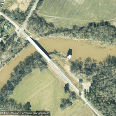
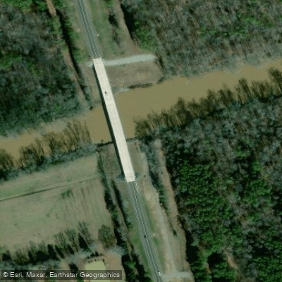
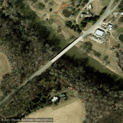
Key access points include Carbonton Dam, McIver Landing near Gulf, Deep River Park, and the Highway 421 Bridge (Boone Trail) launch. The towns of Sanford, Pittsboro, and Siler City serve as convenient base camps for river adventures.
Historically, the Deep River played a crucial role in the region's economic development, powering textile mills and other industries. Today, it forms the backbone of the Deep River State Trail, a developing blueway and land trail system.
Paddlers should be aware of multiple dams along the river's course, requiring portages. Some sections, like Cedar Falls to Franklinville, contain more challenging rapids that demand advanced skills. Always check current conditions and wear appropriate safety gear.
For those seeking a multi-day adventure, the river offers potential for extended trips, particularly in its lower reaches. Primitive camping may be available at designated sites, though planning and local permission are essential. As ongoing conservation efforts continue to enhance the Deep River's recreational potential, this historic waterway is poised to become an increasingly popular destination for paddlers exploring North Carolina's Piedmont region.
Water access, boat ramps & amenities
Learn how to get on Deep River. Uncover great paddling access points, boat ramps, and all the facilities you need for an unforgettable day on the water. Some locations shown may border or include private property. Always check property boundaries and applicable regulations before visiting. PaddleWays's Public & Private Land layer can help you plan your access with confidence.
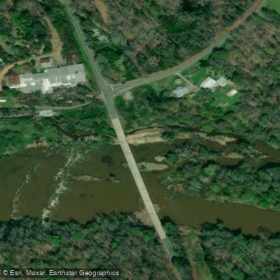
Paddle smarter with real-time insights
Whether you're en route and conditions shift or you're looking for the best spot based on current flows, we enable you to make informed decisions on the fly.








Find Places to Paddle

Over 400,000 Places to Paddle
Every user gets free access to launch points, boat ramps, and public property parcels.


Water and weather conditions (10 day forecast)
See the best times to paddle Deep River and check the forecast before you go.
DEEP RIVER AT RAMSEUR, NC
All Flow Stations
Paddling near Deep River
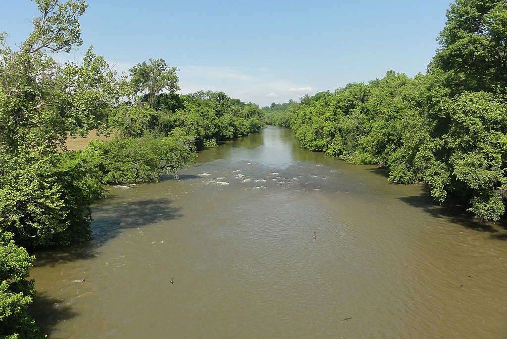
Yadkin River
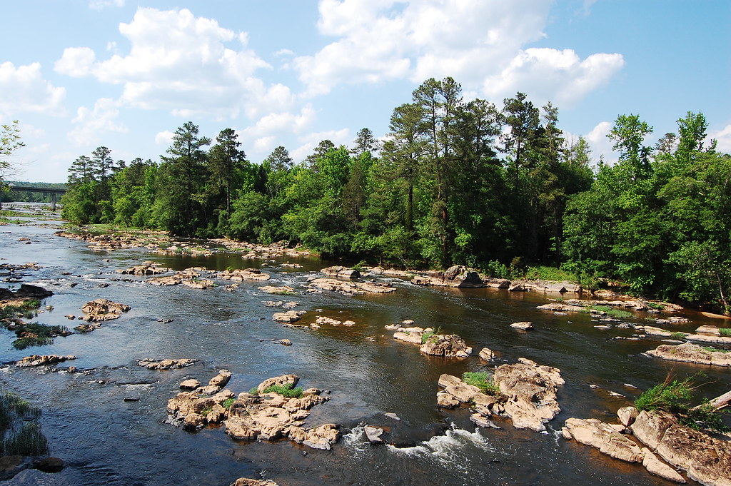
Haw River
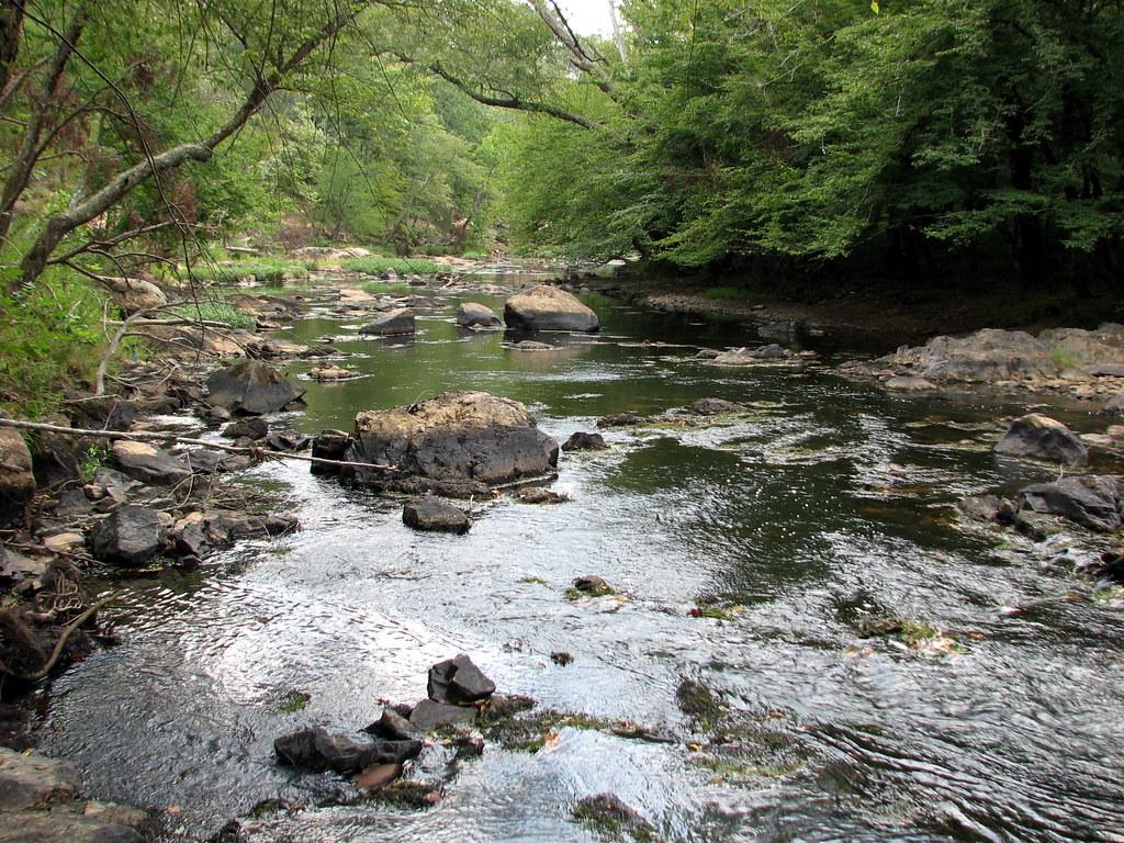
Eno River
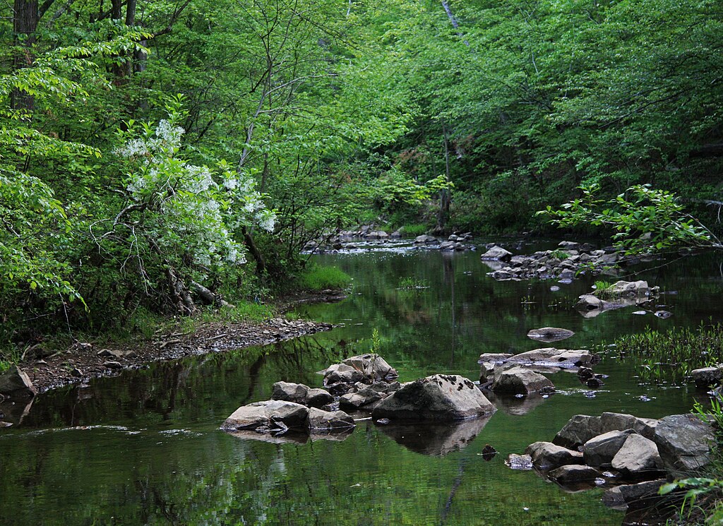
New Hope Creek
Badin Lake
Uwharrie River
Lake Tillery
Little River
Tuckertown Reservoir
Explore North Carolina waters
Top paddling waters
Popular Cities
Loading popular cities...
Explore near Deep River
Access points
Nearby waters
More in North Carolina

Smarter Paddling Starts in the App.
Paddleways gives you everything you need to plan smarter, paddle better, and own every trip from first launch to takeout.