Beaufort Inlet
- Saltwater
- Inlet
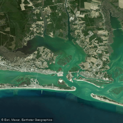
Beaufort Inlet
- Saltwater
- Inlet
- Sq. miles
- 23
- Boat Ramps
- 2
- Access Points
- 0
- Campsites
- 2
Beaufort Inlet is a major shipping channel connecting the Atlantic Ocean to the Intracoastal Waterway and the port of Morehead City. For paddlers, it is a dynamic and potentially hazardous saltwater environment characterized by strong tidal currents, significant boat traffic, and exposure to ocean swell. The inlet itself is generally not recommended for crossing, with reports describing it as treacherous even on calm days, capable of producing three to five-foot waves and swift currents that can change conditions rapidly. The adjacent Back Sound, which lies between the mainland and Shackleford Banks, offers a contrasting paddling experience with generally calm, shallow, and protected waters, though it can become choppy in windy conditions.
Key launching points for accessing the region include Taylors Creek in downtown Beaufort, which provides immediate access to the Rachel Carson Coastal Estuarine Reserve and the western end of the Back Sound. Straights Landing on Harkers Island offers access to the North River, which feeds into the sound. Paddlers planning trips to Shackleford Banks or Cape Lookout from these launches must navigate open sounds and consider tidal flow. The area experiences semidiurnal tides with a typical range of two to three feet, and currents are strongest in the inlet proper. Wind is a critical factor, with northeast winds above ten knots creating hazardous chop on the open sounds, while southwest winds typically produce calmer conditions. Summer afternoons frequently bring convective thunderstorms, making morning trips safer.
The area is part of the Cape Lookout National Seashore, and camping is permitted on the ocean side of Shackleford Banks. Hazards are significant and include dense maritime traffic from large shipping vessels and fishing boats, requiring careful channel crossings. Water temperatures range seasonally, from the 60s in spring and fall to over 80 degrees Fahrenheit in summer, dropping to around 50 degrees in winter. The sound-side marshes and grass flats provide scenic, undeveloped paddling through a network of creeks, while the ocean-side beaches offer dramatic views. Wildlife includes wild horses on Shackleford Banks, pelicans, and seabirds.
Water access, boat ramps & amenities
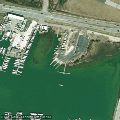
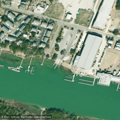
Learn how to get on Beaufort Inlet. Uncover great paddling access points, boat ramps, and all the facilities you need for an unforgettable day on the water. Some locations shown may border or include private property. Always check property boundaries and applicable regulations before visiting. PaddleWays's Public & Private Land layer can help you plan your access with confidence.
Paddle smarter with real-time insights
Whether you're en route and conditions shift or you're looking for the best spot based on current flows, we enable you to make informed decisions on the fly.








Find Places to Paddle

Over 400,000 Places to Paddle
Every user gets free access to launch points, boat ramps, and public property parcels.


Tides, wind & water conditions (10 day forecast)
On open water, wind and tide matter as much as the weather. See the best times to paddle Beaufort Inlet and check the marine forecast before you launch.
Loading tide predictions…
Paddling near Beaufort Inlet

Neuse River
White Oak River
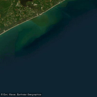
Onslow Bay
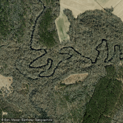
Trent River
Goodwin Creek
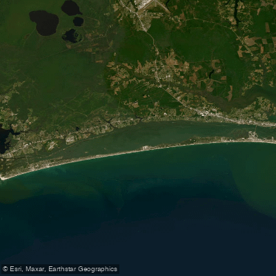
Bogue Sound
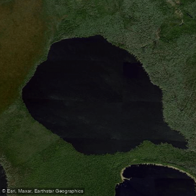
Long Lake
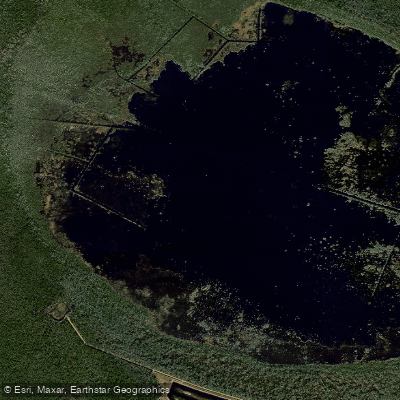
Lake Ellis Simon
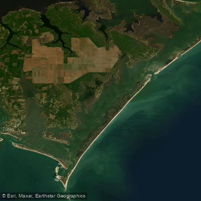
Core Sound
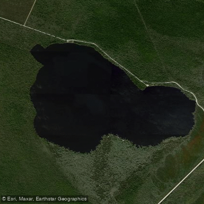
Catfish Lake
Explore North Carolina waters
Top paddling waters
Popular Cities
Loading popular cities...
Explore near Beaufort Inlet
Access points
Nearby waters
More in North Carolina

Smarter Paddling Starts in the App.
Paddleways gives you everything you need to plan smarter, paddle better, and own every trip from first launch to takeout.