Onslow Bay
- Saltwater
- Bay
Onslow Bay
- Saltwater
- Bay
- Sq. miles
- 1,546
- Boat Ramps
- 0
- Access Points
- 0
- Campsites
- 7
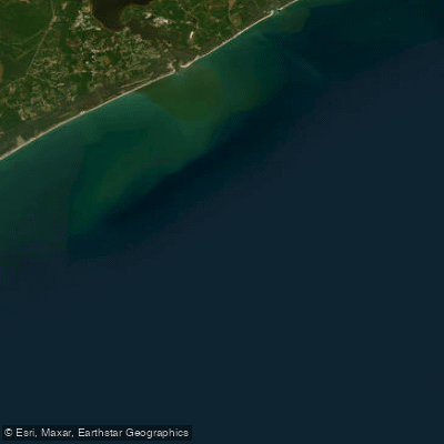
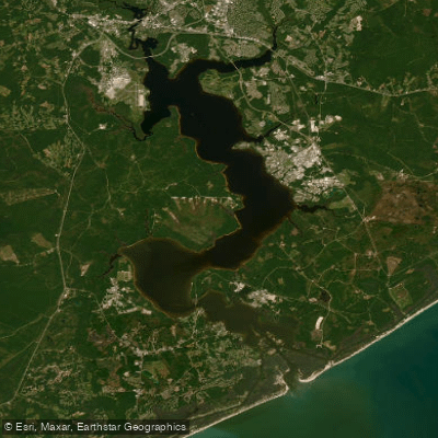
Onslow Bay is a large coastal bay in North Carolina, running over eighty miles from Cape Lookout to Cape Fear. Its geography is defined by ten different inlets that feed into the bay, providing numerous potential access points and routes for paddlers. One specific location for paddler access is near Jacksonville, North Carolina, where the New River empties into Onslow Bay. At this location, a kayak rental kiosk operates, offering a self-service option for obtaining a kayak, paddle, and personal flotation device. The rental process is managed via a smartphone app, with pricing at ten dollars for the first hour and five dollars for each subsequent hour. The bay's extensive shoreline and multiple inlets, such as Masonboro Inlet at the south end of Wrightsville Beach, suggest a variety of launch sites, though paddlers should research specific public access points. The bay's open coastal nature means paddlers must be prepared for conditions typical of the Atlantic Intracoastal Waterway, including exposure to wind, waves, and significant boat traffic, particularly around the inlets and near-shore artificial reefs. The area supports a diverse marine ecosystem, and paddlers may observe surface activity from species like bonito, Spanish mackerel, and cobia, especially from spring through fall. Given the bay's size and connection to the open ocean, tidal currents are a primary consideration, and paddlers must be skilled in navigating inlets, crossing channels, and understanding the local tide stages to plan safe routes. There are no indicated restrictions specific to paddling, but standard safety practices, including wearing a provided PFD, checking equipment, and avoiding other boats, are emphasized at the rental location.
Water access, boat ramps & amenities
Learn how to get on Onslow Bay. Uncover great paddling access points, boat ramps, and all the facilities you need for an unforgettable day on the water. Some locations shown may border or include private property. Always check property boundaries and applicable regulations before visiting. PaddleWays's Public & Private Land layer can help you plan your access with confidence.
Paddle smarter with real-time insights
Whether you're en route and conditions shift or you're looking for the best spot based on current flows, we enable you to make informed decisions on the fly.








Find Places to Paddle

Over 400,000 Places to Paddle
Every user gets free access to launch points, boat ramps, and public property parcels.


Tides, wind & water conditions (10 day forecast)
On open water, wind and tide matter as much as the weather. See the best times to paddle Onslow Bay and check the marine forecast before you launch.
Loading tide predictions…
Paddling near Onslow Bay

Neuse River
White Oak River
New River
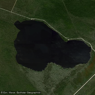
Catfish Lake
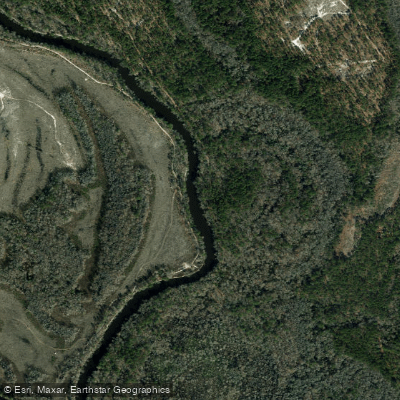
Northeast Cape Fear River
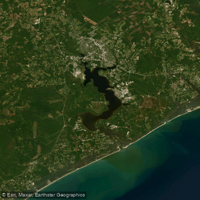
Morgan Bay
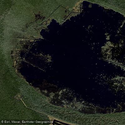
Lake Ellis Simon
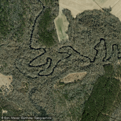
Trent River
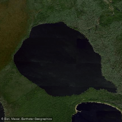
Long Lake
Explore North Carolina waters
Top paddling waters
Popular Cities
Loading popular cities...
Explore near Onslow Bay
Access points
Nearby waters
More in North Carolina

Smarter Paddling Starts in the App.
Paddleways gives you everything you need to plan smarter, paddle better, and own every trip from first launch to takeout.