Goodwin Creek
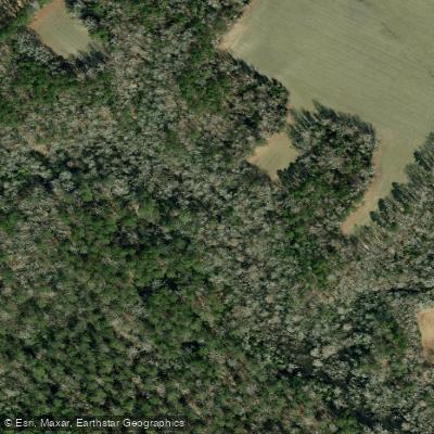
Goodwin Creek
- Boat Ramps
- 0
- Access Points
- 0
- Campsites
- 1
Goodwin Creek flows through the eastern portion of Craven County, North Carolina, serving as a tributary to Tucker Creek within the broader Neuse River watershed. This small coastal plain waterway drains agricultural and forested lands in a region characterized by low-lying topography and extensive wetland systems.
The creek's watershed experiences significant flooding during major storm events, as documented during Hurricane Matthew in October 2016. The Paupers Island/Goodwin Creek Natural Area, recognized by the North Carolina Natural Heritage Program as having very high conservation value, encompasses portions of the creek and its surrounding floodplain. This designation reflects the ecological importance of the area's wetland habitats and natural communities.
The creek flows through terrain typical of North Carolina's coastal plain, where freshwater forested and shrub wetlands dominate the landscape. These wetlands provide critical habitat for wildlife and serve important hydrological functions, including flood water storage and filtration. The low gradient and meandering nature of Goodwin Creek result in slow-moving waters that expand considerably during periods of heavy rainfall.
Access to Goodwin Creek is limited, with the surrounding area remaining largely undeveloped. The natural area designation suggests minimal human impact along significant portions of the waterway, preserving its ecological integrity. The creek's location within a region that includes the Croatan National Forest to the south and various managed conservation lands indicates its position within a broader network of protected natural resources in eastern Craven County.
Flooding patterns along Goodwin Creek reflect the challenges faced throughout the county's river systems. During Hurricane Matthew, many waterways in Craven County experienced prolonged inundation, with floodwaters remaining for extended periods due to the flat topography and convergence of riverine and tidal influences. The creek's connection to Tucker Creek, which itself flows into the larger Neuse River system, means water levels are influenced by both upstream rainfall and downstream tidal conditions.
The natural area surrounding Goodwin Creek likely supports typical coastal plain species, including various wading birds, waterfowl, and mammals adapted to wetland environments. The forested wetlands provide breeding habitat and serve as important corridors for wildlife movement through the agricultural landscape of eastern Craven County.
Due to its small size, limited access, and ecological sensitivity as part of a designated natural area, Goodwin Creek sees minimal recreational use. The waterway's primary significance lies in its ecological functions and its role within the regional watershed system rather than as a recreational resource.
Water access, boat ramps & amenities
Learn how to get on Goodwin Creek. Uncover great paddling access points, boat ramps, and all the facilities you need for an unforgettable day on the water. Some locations shown may border or include private property. Always check property boundaries and applicable regulations before visiting. PaddleWays's Public & Private Land layer can help you plan your access with confidence.
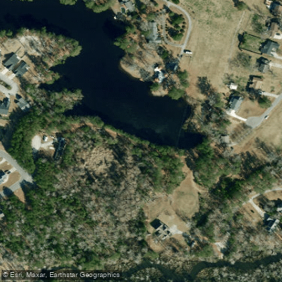
Paddle smarter with real-time insights
Whether you're en route and conditions shift or you're looking for the best spot based on current flows, we enable you to make informed decisions on the fly.








Find Places to Paddle

Over 400,000 Places to Paddle
Every user gets free access to launch points, boat ramps, and public property parcels.


Water and weather conditions (10 day forecast)
See the best times to paddle Goodwin Creek and check the forecast before you go.
No forecast data available.
Paddling near Goodwin Creek

Neuse River
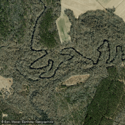
Trent River
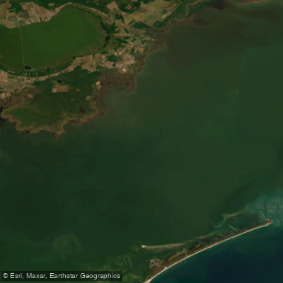
Pamlico Sound
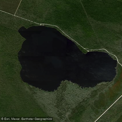
Catfish Lake
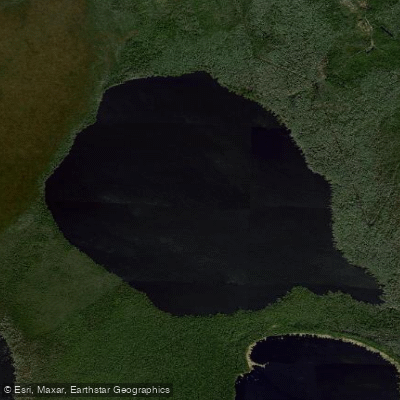
Long Lake
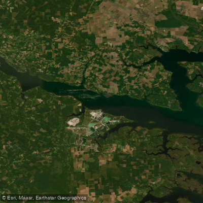
Pamlico River
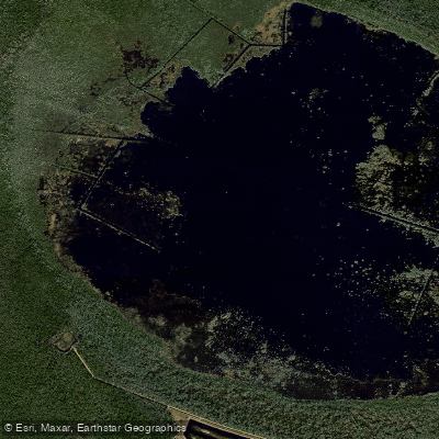
Lake Ellis Simon
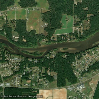
Tar River
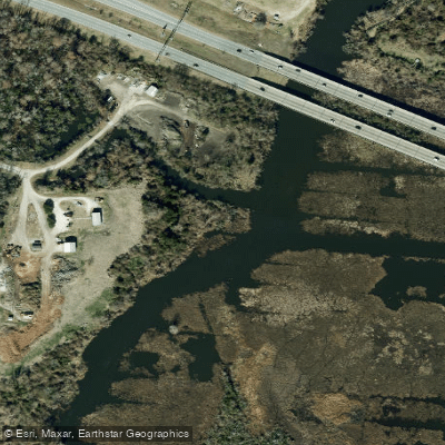
Lawson Creek
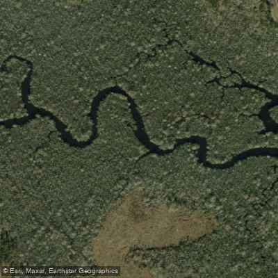
White Oak River
Explore North Carolina waters
Top paddling waters
Popular Cities
Loading popular cities...
Explore near Goodwin Creek
Access points
Nearby waters
More in North Carolina

Smarter Paddling Starts in the App.
Paddleways gives you everything you need to plan smarter, paddle better, and own every trip from first launch to takeout.