Flat River
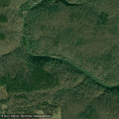
Flat River
- Boat Ramps
- 0
- Access Points
- 4
- Campsites
- 2
The Flat River is a scenic waterway in north-central North Carolina, originating in Person County and flowing southeast through Durham County before joining the Neuse River. This tributary of the Neuse stretches approximately 30 miles through the picturesque Piedmont region, draining a watershed of rolling hills and forests. Paddlers can enjoy several distinct sections of the Flat River, offering a range of experiences from calm flatwater to more challenging whitewater.
The upper section, starting near the river's headwaters, provides a peaceful journey through swift flatwater and gentle Class I-II rapids. As the river progresses, it gains volume and picks up speed, culminating in the popular 10-mile stretch from US Route 501 to Route 1614. This section features Class I-III rapids, providing an exciting run for intermediate paddlers. The final 4-mile section from Route 161 to Lake Michie offers the river's most technical paddling. Here, kayakers and canoeists navigate numerous small rapids interspersed with Class III features, including a notable rapid about a mile from the lake formed by the remnants of an old dam.
The Flat River's difficulty ranges from Class I to III, making it suitable for beginner to intermediate paddlers depending on the section. Spring typically offers the most reliable water levels, though the river can be paddled year-round with sufficient rainfall. Autumn provides a stunning backdrop of fall colors along the forested banks.
The river corridor is home to diverse wildlife, including various fish species, turtles, and birds of prey. Much of the Flat River is bordered by Hill Forest, an educational and research forest managed by North Carolina State University, offering paddlers a glimpse into the region's rich ecosystem.
Primary access points include put-ins at US Route 501 and Route 161, with take-outs at Route 1614 and Lake Michie. The nearby towns of Bahama and Durham provide amenities for paddlers.
Historically, the Flat River played a role in the region's agricultural development, with several old mill sites dotting its course. Today, it serves as an important recreational resource and a vital part of the local watershed.
Paddlers should be aware of potential strainers and fluctuating water levels. A permit is required for access through Durham's watershed property, emphasizing the importance of respecting local regulations and environmental stewardship.
For those seeking a multi-day adventure, it's possible to combine the Flat River with sections of the Eno River or continue downstream into the Neuse River system, though careful planning is required due to limited camping options along the Flat itself.
Water access, boat ramps & amenities
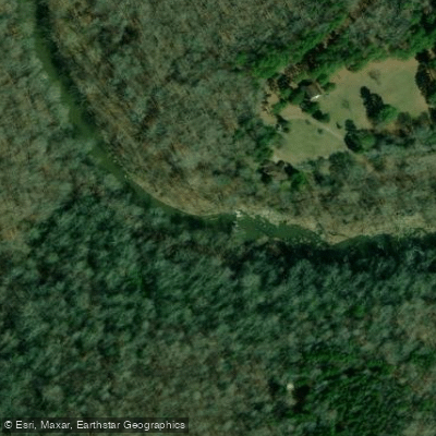
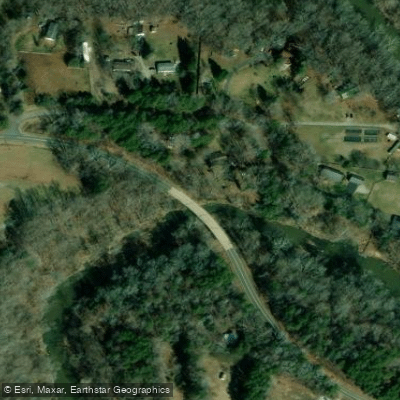
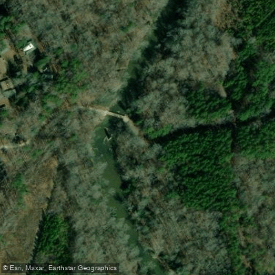
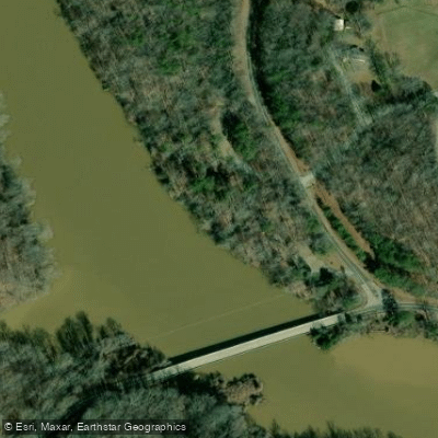
Learn how to get on Flat River. Uncover great paddling access points, boat ramps, and all the facilities you need for an unforgettable day on the water. Some locations shown may border or include private property. Always check property boundaries and applicable regulations before visiting. PaddleWays's Public & Private Land layer can help you plan your access with confidence.
Paddle smarter with real-time insights
Whether you're en route and conditions shift or you're looking for the best spot based on current flows, we enable you to make informed decisions on the fly.








Find Places to Paddle

Over 400,000 Places to Paddle
Every user gets free access to launch points, boat ramps, and public property parcels.


Water and weather conditions (10 day forecast)
See the best times to paddle Flat River and check the forecast before you go.
FLAT RIVER AT BAHAMA, NC
All Flow Stations
Paddling near Flat River

Neuse River
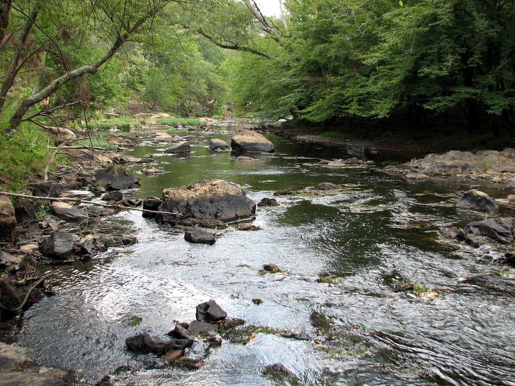
Eno River
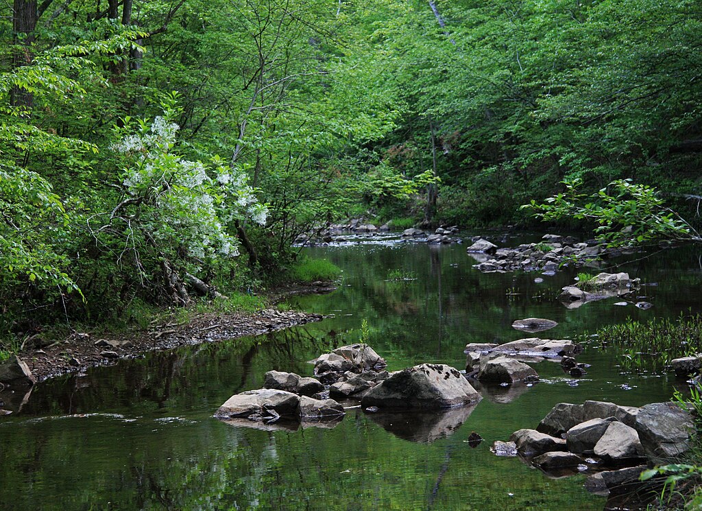
New Hope Creek
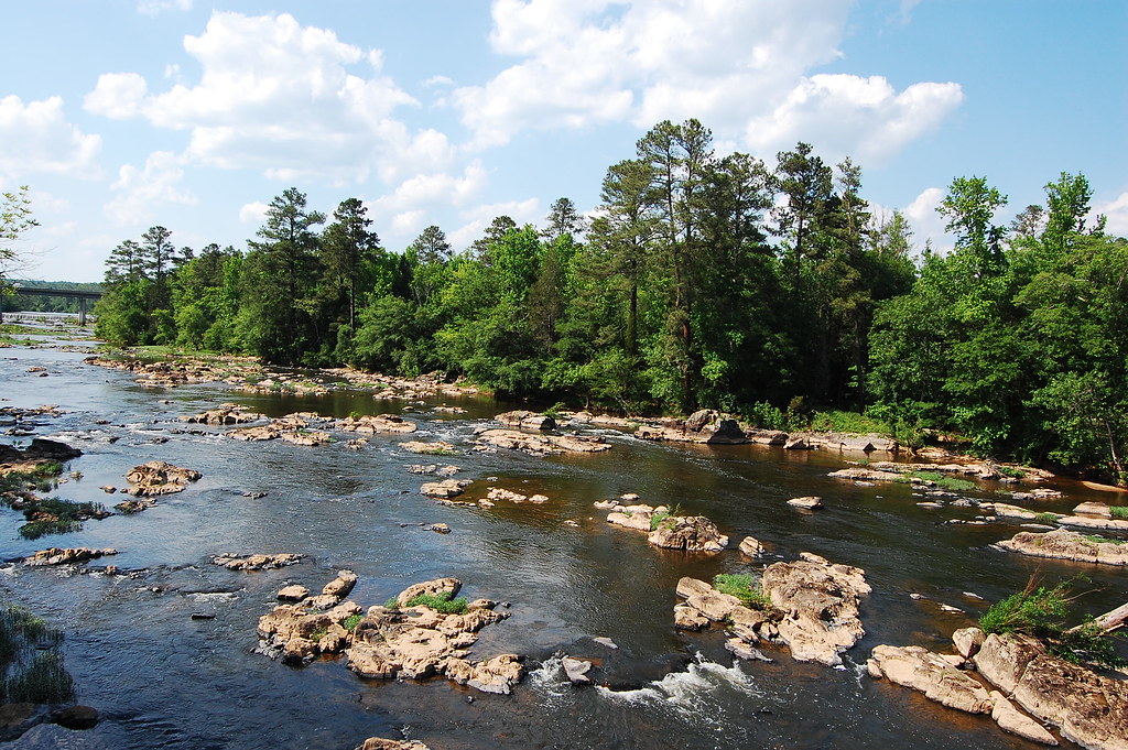
Haw River
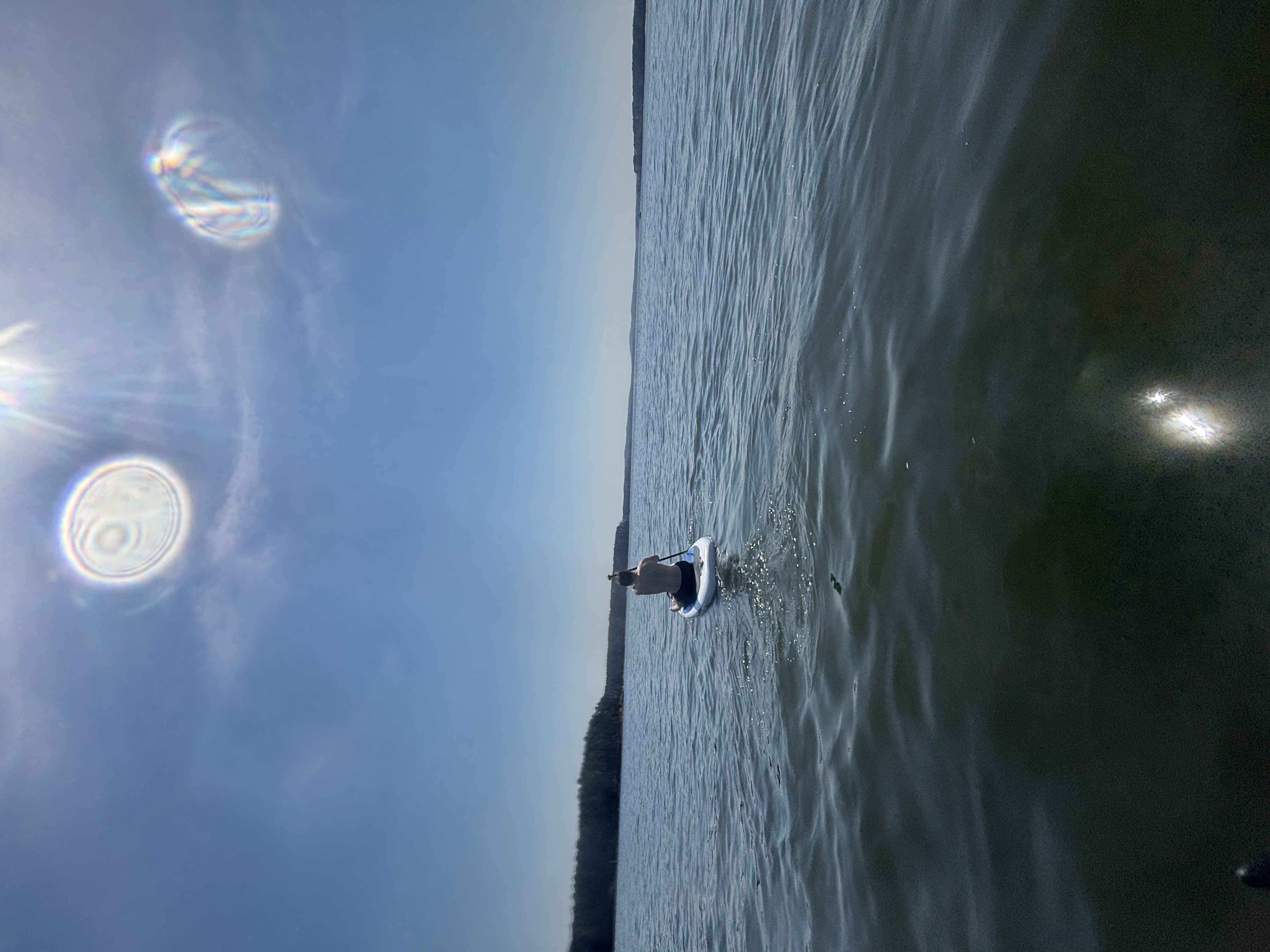
B Everett Jordan Lake
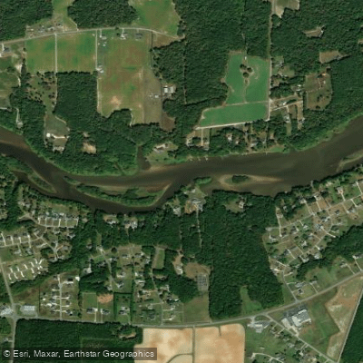
Tar River
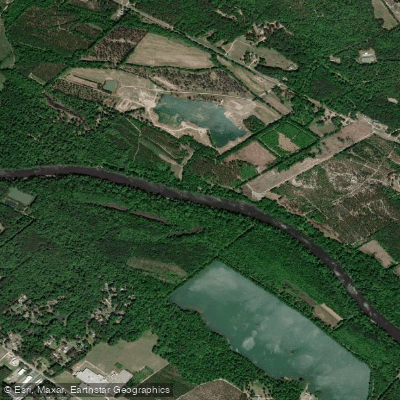
Cape Fear River
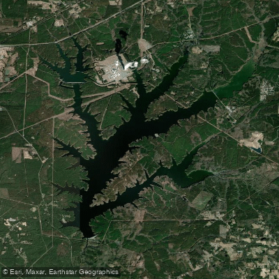
Shearon Harris Reservoir
John H. Kerr Reservoir
Explore North Carolina waters
Top paddling waters
Popular Cities
Loading popular cities...
Explore near Flat River
Access points
Nearby waters
More in North Carolina

Smarter Paddling Starts in the App.
Paddleways gives you everything you need to plan smarter, paddle better, and own every trip from first launch to takeout.