Curated by PaddleWays
RouteClass V
- Distance
- 3 mi
- Paddle time
- ~1 hr
- Best for
- Kayak, raft
- Put-in → take-out
- Upper Green Take Out → Green River Game Land Access
Difficult rapids; portage Go Left, Gorilla, Sunshine
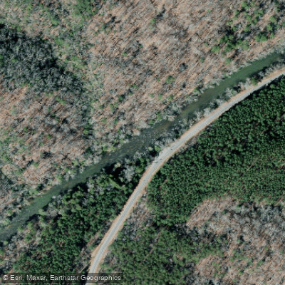
The Green River in western North Carolina is a paddling gem that offers a diverse range of whitewater experiences, from family-friendly floats to expert-level rapids. Located about 30 miles south of Asheville, this river system flows through scenic mountain landscapes in Henderson and Polk counties.
The river is divided into several distinct sections, each catering to different skill levels. The Upper Green, a 3.7-mile stretch from Tuxedo Powerplant to above Hungry Creek, features Class II-III+ rapids suitable for intermediate paddlers. The Lower Green, running 6 miles from Fishtop Access to Big Rock Access, is a Class I-II section perfect for beginners and families.
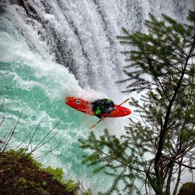
Between these lies the infamous Green River Narrows, a 2.88-mile Class V run that attracts expert kayakers from around the world. One of the river's most notable features is the Green River Narrows, home to the annual Green Race - one of the most prestigious events in whitewater kayaking. This section drops at an average of 178 feet per mile, with the "monster mile" plummeting at over 300 feet per mile, creating a non-stop, action-packed experience for skilled paddlers.
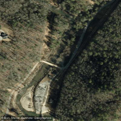
The Green River's flow is controlled by releases from the Tuxedo Dam, allowing for consistent paddling opportunities throughout much of the year. The best times to paddle are typically from spring through fall, with scheduled releases often available. However, the Lower Green section can be enjoyed year-round, weather permitting.
The river corridor is rich in biodiversity, with lush forests lining the banks. Wildlife sightings may include various bird species, deer, and occasionally black bears. The clear waters of the Green River also support a healthy trout population, making it a popular destination for anglers.
Access to the river is relatively straightforward, with several well-established put-ins and take-outs. The town of Saluda serves as a gateway to the Green River, offering amenities for visitors. For the Narrows section, paddlers must obtain a "green key" through the Green River Access Fund to use the put-in parking lot.
Safety is paramount on the Green River, especially in the more challenging sections. Paddlers should always check current water levels and release schedules before embarking on a trip. The Narrows section should only be attempted by expert kayakers with proper equipment and knowledge of the river.
While primarily known for its day trips, the Green River can be combined with nearby sections for longer adventures. The variety of difficulty levels allows paddlers to progress their skills over time, from the gentle Lower Green to the thrilling Narrows.
The Green River has played a significant role in shaping the whitewater paddling community, both locally and nationally. Its consistent flows, diverse rapids, and stunning scenery have made it a training ground for top paddlers and a beloved destination for recreational boaters alike. Whether you're seeking a relaxing float with family, an intermediate challenge, or an extreme whitewater experience, the Green River offers something for every paddler, solidifying its place as one of the Southeast's premier paddling destinations.
Curated routes
Hand-picked by the PaddleWays team, with put-ins, take-outs, paddle times and the hazards along the way.
RouteClass V
RouteClass III–V
RouteClass V
RouteClass IV
RouteClass II–III
RouteClass I–II
RouteClass I–II
Hazards
No paddler has reported a hazard here yet, so these are the dams, falls and big rapids on our map. Hazards change with flows and storms, so check them before you launch.
Rapid · Class IV
The center line tends to be preferable to the right line, but refer to up-to-date local knowledge because both sides are prone to collecting wood.
Rapid · Class IV
The river narrows to a minigorge-esq rapid with a double drop on the left and two horns that create a fun thread-the-needle move on the right.
Rapid · Class IV
Colonel Dick’s is not particularly difficult or consequential, but it is included here because of the high volume of injuries—especially shoulder injuries—it causes.
From the community
Real trips from PaddleWays paddlers: which route they ran, how the flows were, and what to watch for.
Loading trip reports
Stephen L.
Kayak •
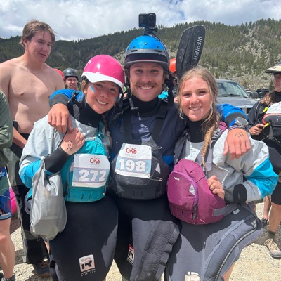
Met up with John at the usual put-in around 9am. Water was running high, probably around 2000cfs. Got some good lines through Grasshopper. John swam at Zoom Flume but was all good.
Matt H. •
Put in parking lot
Matt H. •
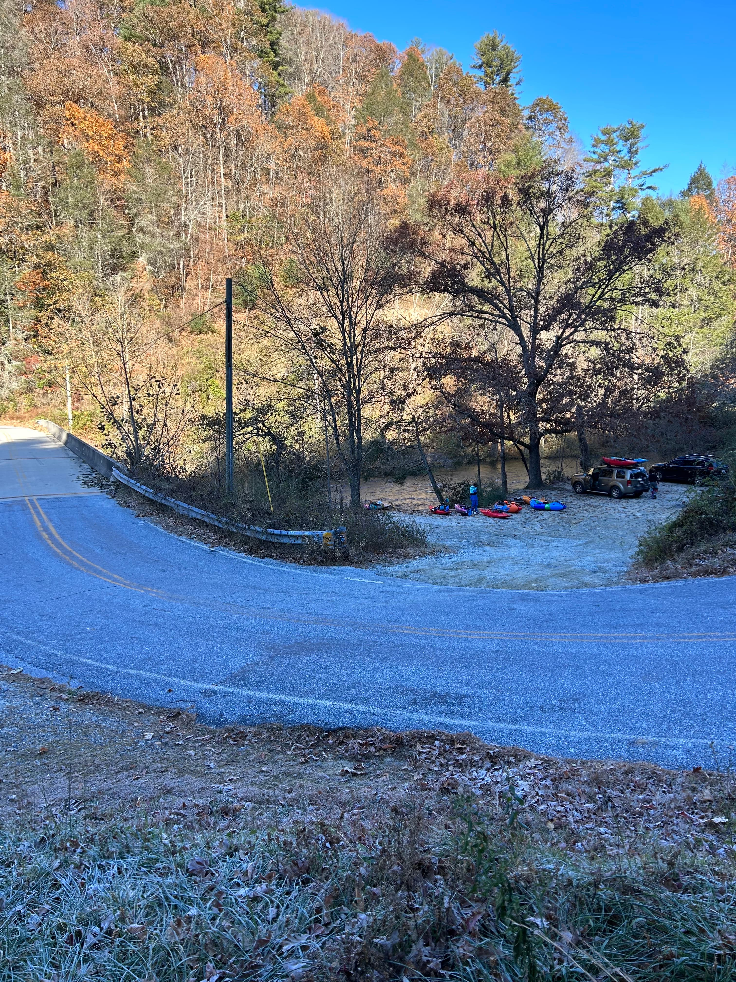
Put in parking lot
See exactly where the public can get on and off the river. Launch points and boat ramps are paired with PaddleWays' public land data so you know where you can legally land.
Public shoreline
24%of the river's shoreline is public
Most of the riverbank is private. Launch, land and camp only at public access points.
Flows, weather and a route-by-route verdict, so you know which stretch of the Green River is worth paddling today.
No forecast data available.
Live flows, marked hazards and fresh trip reports from paddlers who were just on the water, all in one place.





Every user gets free access to launch points, boat ramps, and public property parcels.

Loading popular cities...
PaddleWays gives you everything you need to plan smarter, paddle better, and own every trip from first launch to takeout.