Hazel Creek

Hazel Creek
- Boat Ramps
- 1
- Access Points
- 3
- Campsites
- 26
Hazel Creek is a pristine mountain stream located in the Great Smoky Mountains National Park of western North Carolina. It originates high in the Smokies and flows southwest, eventually emptying into Fontana Lake. The creek's watershed encompasses approximately 80 square miles of rugged, forested terrain.
Paddling Hazel Creek offers a unique backcountry experience combining flatwater and moving water. The most popular route begins at Cable Cove boat ramp on Fontana Lake, crossing about half a mile of open water to reach Hazel Creek's wide mouth. From there, paddlers can explore upstream into increasingly remote wilderness. The difficulty progresses from flatwater to Class I-II as you venture further up Hazel Creek. This adventure is best suited for intermediate paddlers comfortable with both lake paddling and basic whitewater skills.
Late spring through early fall provides the most reliable water levels and pleasant conditions. However, be prepared for quickly changing mountain weather.
Hazel Creek is renowned for its excellent trout fishing, holding healthy populations of rainbow, brown, and brook trout. The watershed supports diverse Appalachian flora and fauna, including black bears, white-tailed deer, and numerous bird species.
Key points of interest include the remnants of old logging settlements like Proctor, accessible via the Hazel Creek Trail. Paddlers can combine their creek exploration with short hikes to these historical sites, offering glimpses into the area's past logging and mining industries.
The primary access point is Cable Cove boat ramp, located about 15 miles from Bryson City. This year-round facility provides ample parking for vehicles and trailers. Be aware that much of Hazel Creek lies within the national park, requiring appropriate permits for overnight stays.
Safety considerations include being visible to motorized boat traffic on Fontana Lake, watching for submerged obstacles in the creek, and carrying proper safety gear. Always check current park regulations and water conditions before your trip.
For multi-day adventures, paddlers can combine creek exploration with backcountry camping at designated sites along Hazel Creek Trail, creating a unique paddle-hike expedition into one of the most remote areas of the Smokies.
Water access, boat ramps & amenities
Learn how to get on Hazel Creek. Uncover great paddling access points, boat ramps, and all the facilities you need for an unforgettable day on the water. Some locations shown may border or include private property. Always check property boundaries and applicable regulations before visiting. PaddleWays's Public & Private Land layer can help you plan your access with confidence.
Paddle smarter with real-time insights
Whether you're en route and conditions shift or you're looking for the best spot based on current flows, we enable you to make informed decisions on the fly.








Find Places to Paddle

Over 400,000 Places to Paddle
Every user gets free access to launch points, boat ramps, and public property parcels.


Water and weather conditions (10 day forecast)
See the best times to paddle Hazel Creek and check the forecast before you go.
No forecast data available.
Paddling near Hazel Creek

Tennessee River
Little River

French Broad River
Holston River

Little Tennessee River
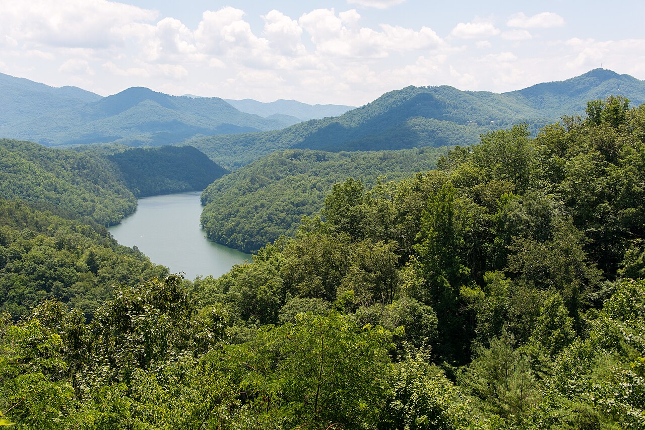
Tuckasegee River
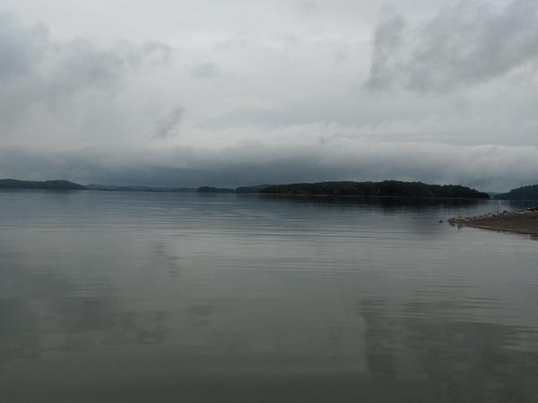
Douglas Lake
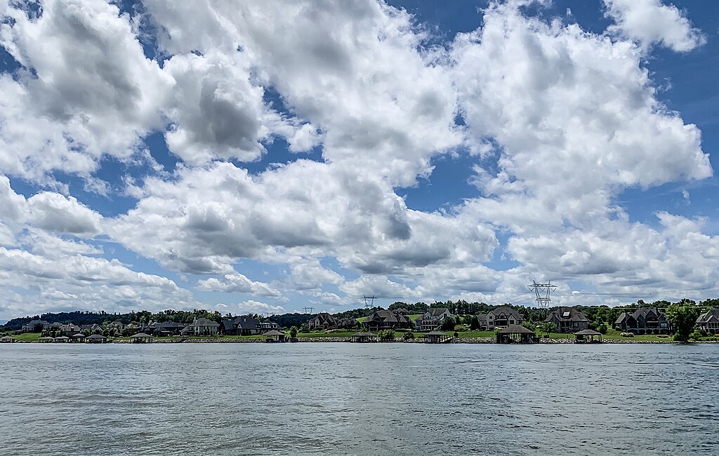
Fort Loudoun Lake
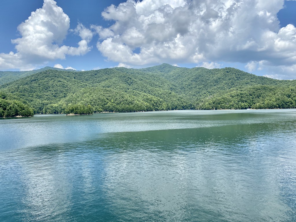
Fontana Lake
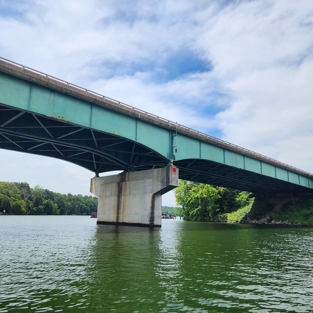
Tellico Lake
Explore North Carolina waters
Top paddling waters
Popular Cities
Loading popular cities...
Explore near Hazel Creek
Access points
Nearby waters
More in North Carolina

Smarter Paddling Starts in the App.
Paddleways gives you everything you need to plan smarter, paddle better, and own every trip from first launch to takeout.