Curated by PaddleWays
RouteClass IV
- Distance
- 1.4 mi
- Paddle time
- ~0.5 hrs
- Best for
- Experienced paddlers
- Put-in → take-out
- Put In → Upper Green Take Out
Class IV whitewater run
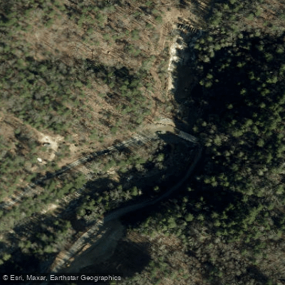
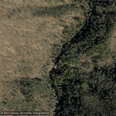
The Hungry River is a short but intense whitewater stream located in Henderson County, North Carolina. Originating in the Saluda Mountains, this tributary of the Green River flows generally eastward for approximately 1.3 miles before its confluence. While brief in length, the Hungry River packs a punch for experienced paddlers seeking a concentrated dose of whitewater action.
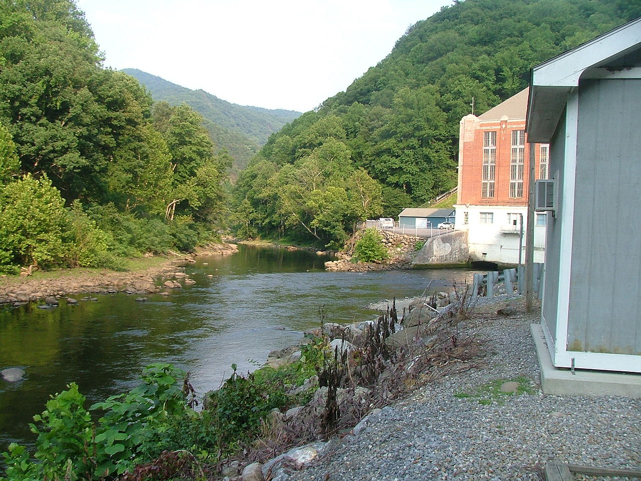
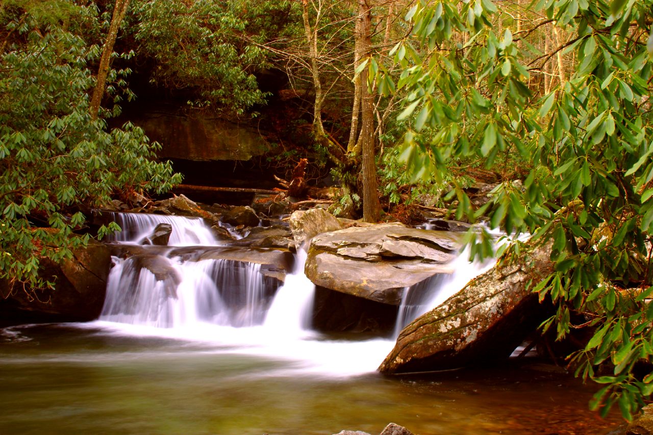
The river's sole paddled section, known as Big Hungry Road to Green River, offers a challenging Class IV run that attracts skilled kayakers and canoeists. This 1.3-mile stretch features a series of technical rapids and drops as the river descends rapidly through a scenic, forested gorge. The put-in is located off Big Hungry Road, while the take-out is at the confluence with the Green River. Given its difficulty, the Hungry River is suitable only for advanced paddlers with solid whitewater skills and rescue training. The short length belies the intensity of the run, which demands precise maneuvering and quick decision-making. Paddlers should be prepared for continuous action with little opportunity for rest between rapids.
Water levels on the Hungry River are primarily driven by rainfall, making it a seasonal run typically paddled in spring or after significant precipitation events. Late winter to early spring often provides the most reliable flows, though flash flooding can occur during heavy rains, dramatically increasing the difficulty and danger.
The river corridor supports a diverse ecosystem typical of the southern Appalachian mountains, with a mix of hardwood and pine forests lining the banks. Wildlife such as white-tailed deer, wild turkey, and various songbirds may be spotted, though the fast-paced nature of the run leaves little time for nature observation.
Access to the Hungry River is relatively straightforward, with the put-in located about 10 miles southeast of Hendersonville, NC. The nearby town of Saluda serves as a common meeting point for paddlers and offers amenities like lodging and dining options. While not as renowned as its neighbor the Green River, the Hungry River holds a special place in the local paddling community as a short but sweet challenge. Its proximity to other whitewater runs in the area makes it a popular addition to multi-river day trips for visiting paddlers.
Safety is paramount on the Hungry River due to its difficulty and remote setting. Paddlers should scout rapids when possible, wear appropriate safety gear, and be prepared for self-rescue scenarios. As with all whitewater rivers, checking current conditions and paddling within one's ability level is crucial. The Hungry River may be brief, but it offers a concentrated whitewater experience that leaves paddlers hungry for more, living up to its appetite-inducing name.
Curated routes
Hand-picked by the PaddleWays team, with put-ins, take-outs, paddle times and the hazards along the way.
RouteClass IV
Hazards
No paddler has reported a hazard here yet, so these are the dams, falls and big rapids on our map. Hazards change with flows and storms, so check them before you launch.
Rapid · Class IV
Class IV A 25ft steep angled slide that drops into a pool &as the river turns to left. Avoid the left side of the falls at all costs as it it’s a broken rock shelf.
Rapid · Class IV
Class IV A rapid around a large boulder that is undercut. A little bit of left boat angle seems to help here as it keeps you away from the undercut.
From the community
Nobody has shared a trip on Hungry River yet. Paddle it, then tell the next paddler how it went.
See exactly where the public can get on and off the river. Launch points and boat ramps are paired with PaddleWays' public land data so you know where you can legally land.
Public shoreline
19%of the river's shoreline is public
Most of the riverbank is private. Launch, land and camp only at public access points.
Flows, weather and a route-by-route verdict, so you know which stretch of the Hungry River is worth paddling today.
No forecast data available.
Live flows, marked hazards and fresh trip reports from paddlers who were just on the water, all in one place.





Every user gets free access to launch points, boat ramps, and public property parcels.

Loading popular cities...
PaddleWays gives you everything you need to plan smarter, paddle better, and own every trip from first launch to takeout.