New River
- Saltwater
- Tidal river
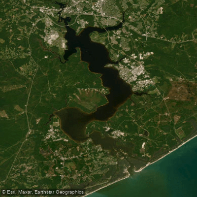
New River
- Saltwater
- Tidal river
- Sq. miles
- 34
- Boat Ramps
- 2
- Access Points
- 0
- Campsites
- 3
The New River in North Carolina and Virginia offers a diverse range of paddling experiences, from gentle flatwater to significant whitewater. In its upper reaches in North Carolina, particularly around Jefferson and Boone, the river is a gentle, scenic, and historic waterway ideal for beginners, families, and tubing. Outfitters like Zaloo's Canoes operate in this area, and the New River State Park provides multiple access points along a National Wild and Scenic River section, featuring paddle-in campgrounds. Specific put-ins and take-outs are noted on the New River Paddle Trail near Boone, with sections like Pine Run to Castle Ford and Green Valley Park to Todd being popular. Paddlers must be cautious of low-water bridges which require exiting the river and can be dangerous during high water. Downstream, through Virginia, the river's character changes. The stretch through Radford is shallow and broad, perfect for a half-day float, with a designated paddle route launching from Riverview Park. Further downstream, the river enters more dramatic terrain. The New River Gorge, culminating in West Virginia, features Class I to IV whitewater, with notable rapids like Fayette Station running under the New River Gorge Bridge. The Summit Bechtel Reserve offers a multi-day trek covering 50 miles of the river, including Class I to III rapids in inflatable kayaks and a final rafting day in the Lower Gorge with Class III to IV rapids. Access to the Cunard put-in in the Gorge involves a steep, gravel road that can be congested. The river is noted for its wildlife, including great blue herons, kingfishers, osprey, wood ducks, and the rare hellbender salamander in its upper reaches. The surrounding scenery transitions from forests and fields to cliffs and gorges. Local outfitters and park services are primary resources for current conditions and shuttle logistics.
Water access, boat ramps & amenities
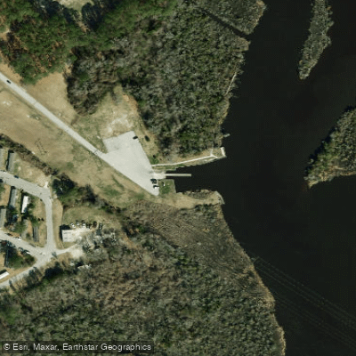
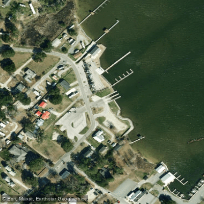
Learn how to get on New River. Uncover great paddling access points, boat ramps, and all the facilities you need for an unforgettable day on the water. Some locations shown may border or include private property. Always check property boundaries and applicable regulations before visiting. PaddleWays's Public & Private Land layer can help you plan your access with confidence.
Paddle smarter with real-time insights
Whether you're en route and conditions shift or you're looking for the best spot based on current flows, we enable you to make informed decisions on the fly.








Find Places to Paddle

Over 400,000 Places to Paddle
Every user gets free access to launch points, boat ramps, and public property parcels.


Tides, wind & water conditions (10 day forecast)
On open water, wind and tide matter as much as the weather. See the best times to paddle New River and check the marine forecast before you launch.
Loading tide predictions…
Paddling near New River

Neuse River
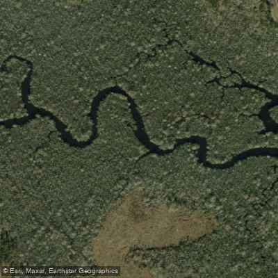
White Oak River
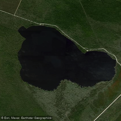
Catfish Lake
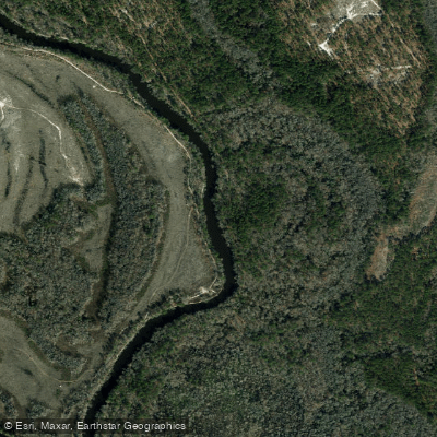
Northeast Cape Fear River
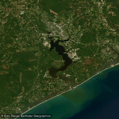
Morgan Bay
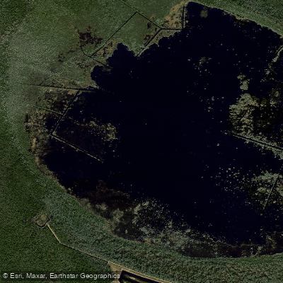
Lake Ellis Simon
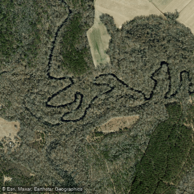
Trent River
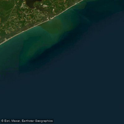
Onslow Bay
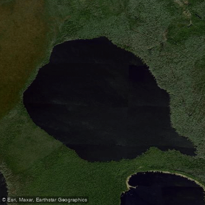
Long Lake
Explore North Carolina waters
Top paddling waters
Popular Cities
Loading popular cities...
Explore near New River
Access points
Nearby waters
More in North Carolina

Smarter Paddling Starts in the App.
Paddleways gives you everything you need to plan smarter, paddle better, and own every trip from first launch to takeout.