Northeast Cape Fear River
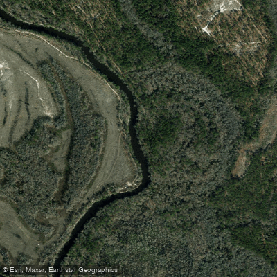
Northeast Cape Fear River
- Boat Ramps
- 6
- Access Points
- 6
- Campsites
- 0
The Northeast Cape Fear River is a major tributary of the Cape Fear River system in southeastern North Carolina. It originates in Duplin County and flows generally southeast for approximately 130 miles before joining the Cape Fear River near Wilmington. The river drains a watershed of about 1,750 square miles, characterized by coastal plain forests and wetlands. Paddling opportunities on the Northeast Cape Fear range from peaceful flatwater stretches ideal for beginners to more challenging whitewater sections suitable for experienced paddlers.
The upper reaches near Chinquapin offer serene 8-mile trips through cypress forests, while the middle sections around Burgaw feature a mix of calm waters and mild rapids. Near its confluence with the main Cape Fear, the river widens and is influenced by tides. The overall difficulty ranges from flatwater (Class I) to moderate whitewater (Class II-III), with the most challenging rapids found in the Buckhorn Dam to Erwin section. Paddlers should have basic river reading skills and be comfortable with potential swiftwater conditions.
Spring and fall offer the best paddling conditions, with moderate water levels and pleasant temperatures. Summer can be hot and humid, while winter paddling requires cold-water gear. The river is prone to flooding after heavy rains, so checking water levels is crucial.
The river corridor supports diverse wildlife, including various fish species, turtles, alligators, and numerous birds. Bald cypress and water tupelo trees line much of the shoreline, creating a scenic backdrop for paddlers. Key landmarks include the historic Buckhorn Dam, Holly Shelter Creek (a popular tributary for exploration), and the river's passage through Burgaw. Major access points include Chinquapin, Wayne's Landing, and various wildlife boat ramps managed by the NC Wildlife Resources Commission.
The Northeast Cape Fear played a significant role in early colonial transportation and commerce. Today, it remains an important ecological and recreational resource for the region. Safety considerations include being aware of submerged obstacles, particularly in low water conditions, and watching for motorboat traffic in wider sections. Paddlers should also be mindful of private property along the banks when choosing campsites for multi-day trips.
For those seeking a longer adventure, the river offers excellent multi-day trip options. A popular route is the 50-mile section often used for scout trips, which typically takes 3-5 days to complete. This journey provides a comprehensive experience of the river's changing character from its upper reaches to its lower, tidally-influenced sections.
Water access, boat ramps & amenities
Learn how to get on Northeast Cape Fear River. Uncover great paddling access points, boat ramps, and all the facilities you need for an unforgettable day on the water. Some locations shown may border or include private property. Always check property boundaries and applicable regulations before visiting. PaddleWays's Public & Private Land layer can help you plan your access with confidence.

Paddle smarter with real-time insights
Whether you're en route and conditions shift or you're looking for the best spot based on current flows, we enable you to make informed decisions on the fly.








Find Places to Paddle

Over 400,000 Places to Paddle
Every user gets free access to launch points, boat ramps, and public property parcels.


Water and weather conditions (10 day forecast)
See the best times to paddle Northeast Cape Fear River and check the forecast before you go.
NORTHEAST CAPE FEAR R NR BURGAW, NC
All Flow Stations
Paddling near Northeast Cape Fear River

Neuse River
White Oak River
New River
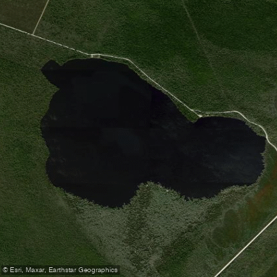
Catfish Lake
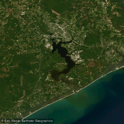
Morgan Bay
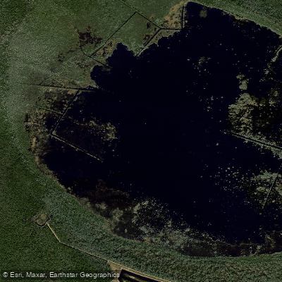
Lake Ellis Simon
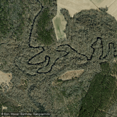
Trent River
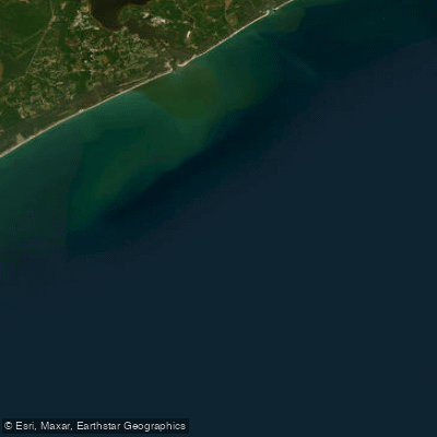
Onslow Bay
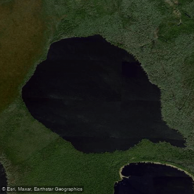
Long Lake
Explore North Carolina waters
Top paddling waters
Popular Cities
Loading popular cities...
Explore near Northeast Cape Fear River
Access points
- Waynes Landing Boat Ramp
- Holly Shelter Boat Ramp
- Chinquapin Boat Ramp
- Kenansville Boat Ramp
- Castle Hayne Boat Ramp
- Sawpit Landing Boat Ramp
- Ne Cape Fear River Bridge
- Ne Cape Fear River Bridge
- N.e.cape Fear River Bridge
- Northeast Cape Fear Rive Bridge
- Ne Cape Fear River Bridge
- Ne Cape Fear River Bridge
- All 157 spots
Nearby waters
More in North Carolina

Smarter Paddling Starts in the App.
Paddleways gives you everything you need to plan smarter, paddle better, and own every trip from first launch to takeout.