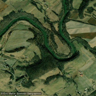
Curated by PaddleWays
RouteClass IV
- Distance
- 7.9 mi
- Paddle time
- ~2 hrs
- Best for
- Intermediate paddlers, experienced paddlers
- Put-in → take-out
- Nolichucky Gorge Take-out → Nolichucky Gorge Put-in
Quarter Mile becomes class V above 5,000 cfs
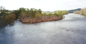
The Nolichucky River is a waterway that flows through western North Carolina and eastern Tennessee. Originating in the Appalachian Mountains near Spruce Pine, NC, it travels approximately 110 miles southwest before joining the French Broad River near Knoxville, TN. The river drains a watershed of about 1,700 square miles.
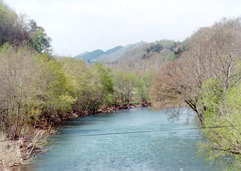
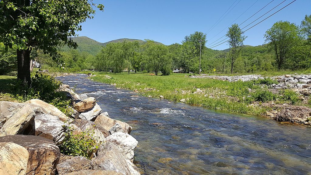
Paddlers are drawn to the Nolichucky for its range of whitewater experiences. The most famous section is the Nolichucky Gorge, an 8.1-mile stretch of continuous Class III-IV rapids from Poplar, NC to Erwin, TN. This remote, deep gorge offers stunning mountain views and over 25 named rapids, making it one of the most scenic and challenging runs in the Southeast. Downstream, the river mellows, providing opportunities for novice paddlers and families. The difficulty ranges from Class I flatwater sections to the Class IV Gorge, accommodating beginners to expert paddlers. The Gorge requires solid whitewater skills and often a guide, while lower sections are suitable for tubing and flatwater kayaking.
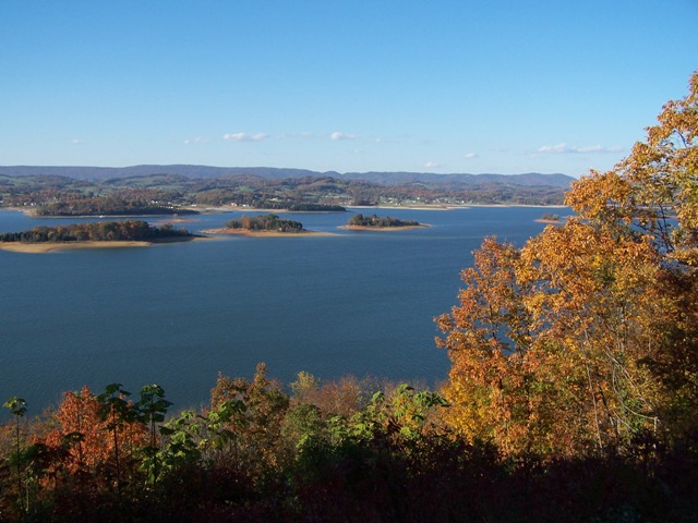
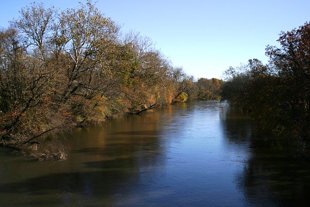
Spring and early summer typically offer the best water levels, though the river is often runnable year-round. Fall colors make autumn a popular time for scenic floats on calmer sections. The river corridor supports diverse ecosystems, including remnant old-growth forests. Wildlife such as black bears, deer, and various bird species can be spotted along the banks.
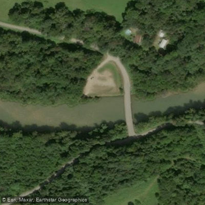
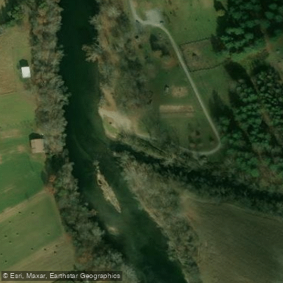
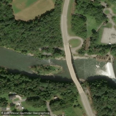
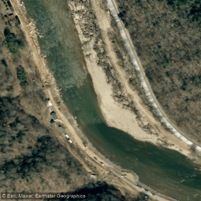
Key landmarks include the dramatic railroad tracks paralleling the Gorge, the Nolichucky Gorge Campground, and the town of Erwin, TN. The Secret Spot, a famous play wave, is located about 300 yards downstream from a set of wooden steps on river right. Primary access points include Poplar, NC (Gorge put-in), Nolichucky Gorge Campground (Gorge take-out), Chestoa Recreation Area, and various spots near Erwin, TN. Asheville, NC and Johnson City, TN are the nearest major cities.
Historically, the river was vital to Cherokee communities and early settlers. Today, it's an important recreational resource and supports local economies through rafting and tourism.
Safety considerations include the remote nature of the Gorge, potential high water levels, and limited cell service. Paddlers should check water levels and weather forecasts before trips. Some sections may require permits or have regulations regarding group sizes and equipment. While most trips are single-day excursions, multi-day options exist for experienced paddlers willing to carefully plan camping locations, as much of the lower river passes through private property.
The Nolichucky offers a quintessential Appalachian river experience, from thrilling whitewater to peaceful floats, set against a backdrop of stunning mountain scenery.
Curated routes
Hand-picked by the PaddleWays team, with put-ins, take-outs, paddle times and the hazards along the way.
RouteClass IV
Hazards
No paddler has reported a hazard here yet, so these are the dams, falls and big rapids on our map. Hazards change with flows and storms, so check them before you launch.
From the community
Nobody has shared a trip on Nolichucky River yet. Paddle it, then tell the next paddler how it went.
See exactly where the public can get on and off the river. Launch points and boat ramps are paired with PaddleWays' public land data so you know where you can legally land.
Public shoreline
12%of the river's shoreline is public
Most of the riverbank is private. Launch, land and camp only at public access points.
Flows, weather and a route-by-route verdict, so you know which stretch of the Nolichucky River is worth paddling today.
All Flow Stations
Live flows, marked hazards and fresh trip reports from paddlers who were just on the water, all in one place.





Every user gets free access to launch points, boat ramps, and public property parcels.
Loading popular cities...
PaddleWays gives you everything you need to plan smarter, paddle better, and own every trip from first launch to takeout.