Red River of the North
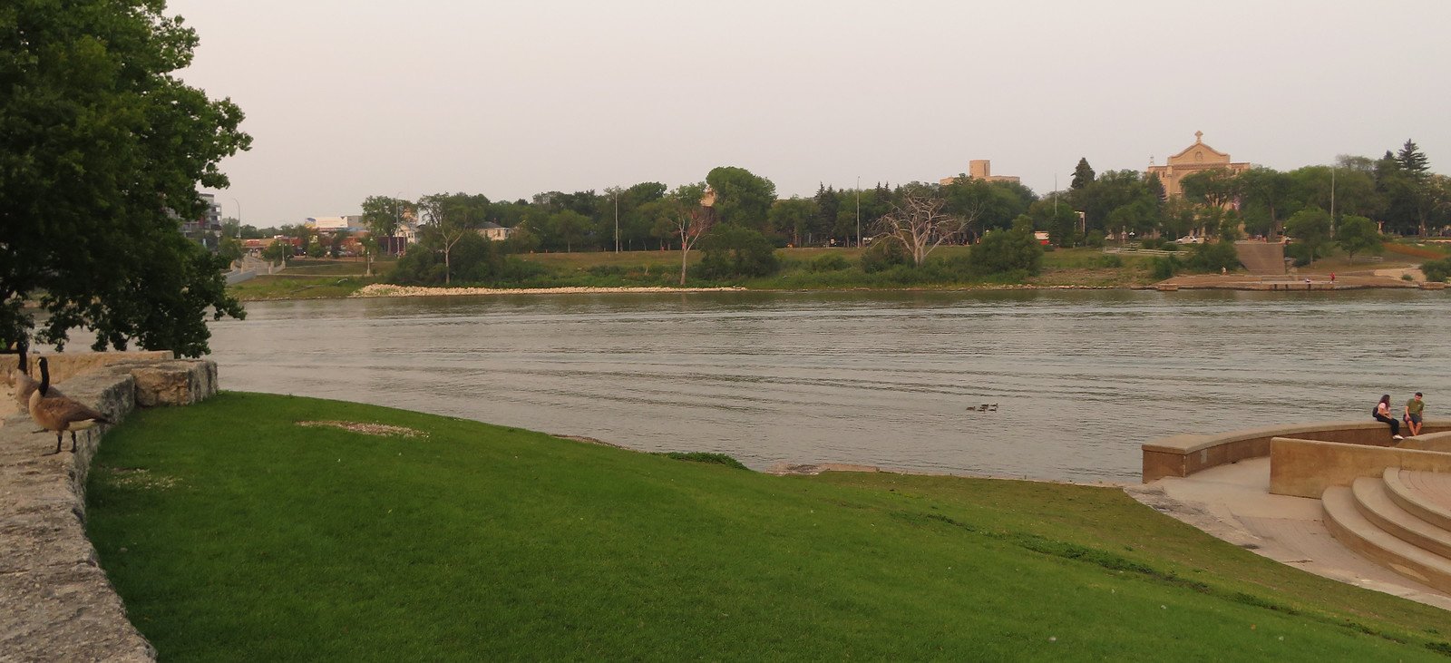
Red River of the North
- Boat Ramps
- 20
- Access Points
- 25
- Campsites
- 6
The Red River of the North is a unique and historically significant waterway that forms much of the border between Minnesota and North Dakota. Originating at the confluence of the Bois de Sioux and Otter Tail rivers in Breckenridge, Minnesota, it flows northward for 550 miles before emptying into Lake Winnipeg in Manitoba, Canada. This northward flow is unusual for North American rivers and contributes to the river's propensity for flooding, especially during spring thaws.
Paddling opportunities abound along the Red River, with several distinct sections offering a range of experiences. The river is primarily flatwater, making it suitable for canoeists and kayakers of all skill levels. Popular paddling segments include the Fargo-Moorhead area, Grand Forks area, and the stretch from Breckenridge to Wahpeton. The river's slow current and meandering nature allow for leisurely trips through a mix of urban and rural landscapes.
The best paddling season typically runs from late spring through early fall, though water levels can fluctuate significantly. Spring paddling should be approached with caution due to potential flooding and swift currents. Summer and fall offer more stable conditions and opportunities to observe the river's diverse wildlife, including various fish species, birds, and mammals along the wooded shorelines.
Key landmarks and points of interest include the Hjemkomst Center in Moorhead, Lindenwood Park in Fargo, and the Red River State Recreation Area in East Grand Forks. These locations often serve as put-in or take-out points and offer amenities such as campgrounds, picnic areas, and interpretive displays. Access points are numerous, with many located near the river's urban centers. Notable access locations include Forest River Park, Midtown Dam, and LaFave Park. Many of these access points offer boat ramps, parking, and other facilities to support paddlers.
The Red River holds great historical and cultural significance, having been a vital transportation route for Indigenous peoples and later for European fur traders. The river's fertile valley has long been an important agricultural region, shaping the development of communities along its banks.
Safety considerations include being aware of current river conditions, especially during high water periods. Paddlers should also be mindful of low-head dams and other potential hazards. Life jackets are required, and it's advisable to paddle with a companion.
For those interested in multi-day trips, the Red River offers ample opportunities. Campsites are available at various points along the river, including the Red River State Recreation Area, allowing paddlers to plan extended journeys through the scenic Red River Valley.
Water access, boat ramps & amenities
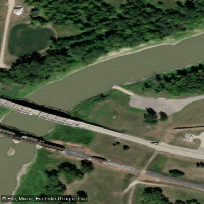
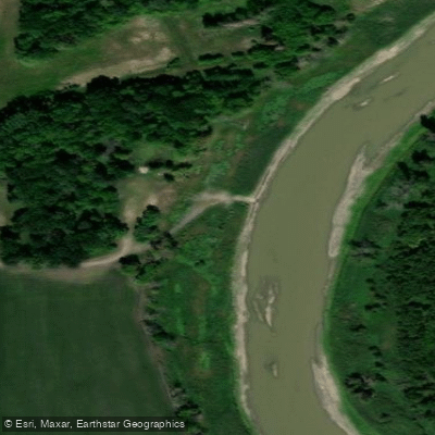
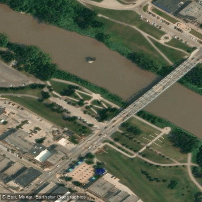
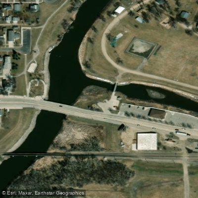
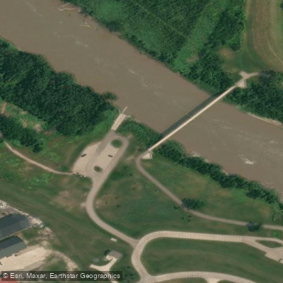
Learn how to get on Red River of the North. Uncover great paddling access points, boat ramps, and all the facilities you need for an unforgettable day on the water. Some locations shown may border or include private property. Always check property boundaries and applicable regulations before visiting. PaddleWays's Public & Private Land layer can help you plan your access with confidence.
Paddle smarter with real-time insights
Whether you're en route and conditions shift or you're looking for the best spot based on current flows, we enable you to make informed decisions on the fly.








Find Places to Paddle

Over 400,000 Places to Paddle
Every user gets free access to launch points, boat ramps, and public property parcels.


Water and weather conditions (10 day forecast)
See the best times to paddle Red River of the North and check the forecast before you go.
RED RIVER OF THE NORTH AT WAHPETON, ND
All Flow Stations
Paddling near Red River of the North
Red Lake River
Turtle River
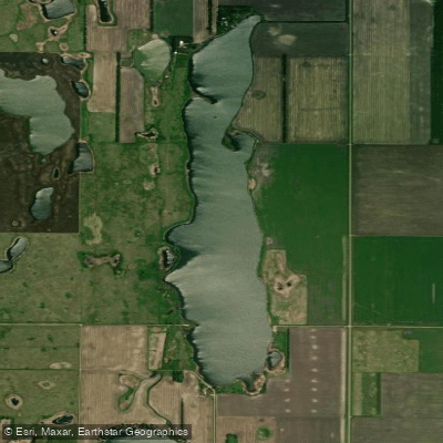
North Golden Lake
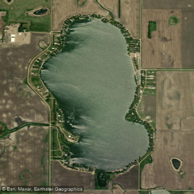
Golden Lake
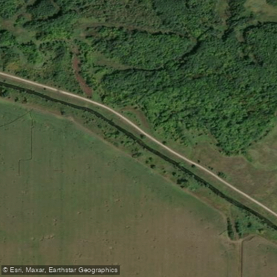
Clearwater River
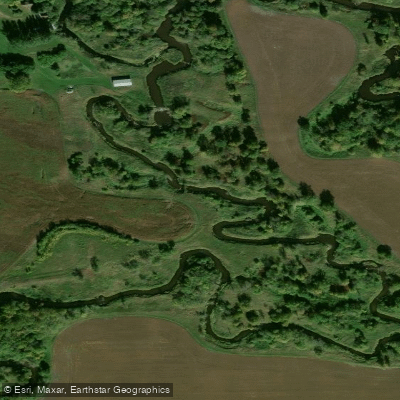
Tamarac River
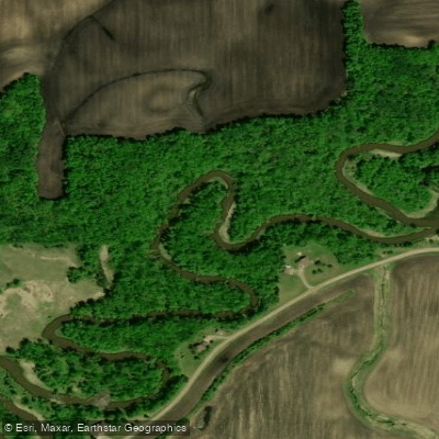
Wild Rice River
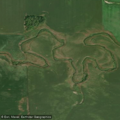
Elm River
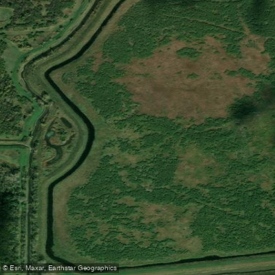
Thief River
Explore North Dakota waters
Top paddling waters
Popular Cities
Loading popular cities...
Explore near Red River of the North
Access points
Nearby waters
More in North Dakota

Smarter Paddling Starts in the App.
Paddleways gives you everything you need to plan smarter, paddle better, and own every trip from first launch to takeout.