Curated by PaddleWays
RouteFlatwater
- Distance
- 23.6 mi
- Paddle time
- ~8 hrs
- Put-in → take-out
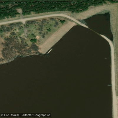
- Senator Young Dam Access → Renwick Dam Boat Ramp
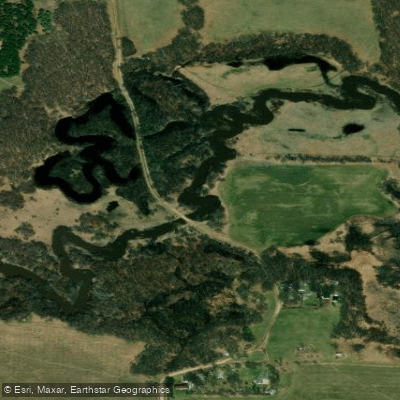
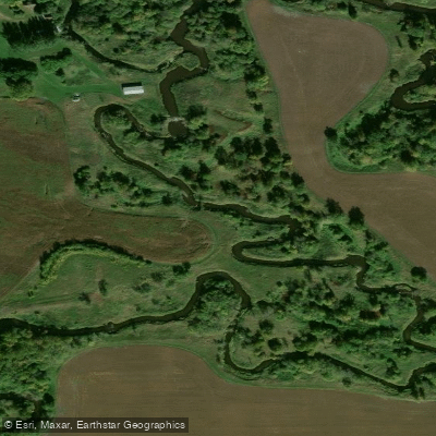
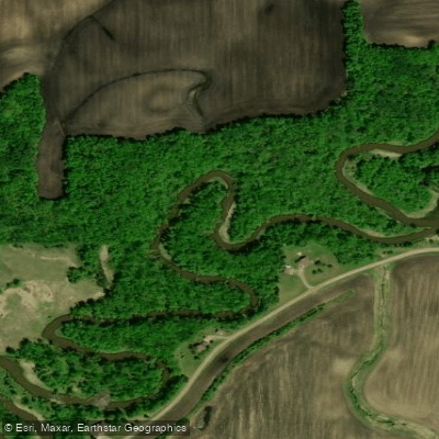
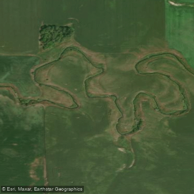
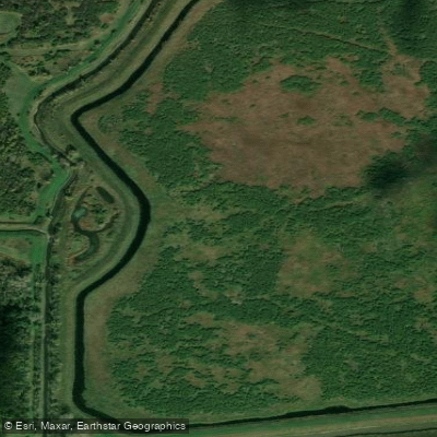
The Tongue River in North Dakota is a modest prairie waterway that flows through the northeastern part of the state. Originating near the Canadian border in Cavalier County, it meanders southeastward for approximately 26.4 miles before reaching Renwick Dam. The river is primarily used for flood control and as a source of drinking water for local communities. Paddling opportunities on the Tongue River are limited but offer a serene experience through the rolling hills and open plains characteristic of eastern North Dakota.
The main navigable section stretches from Senator Young Dam to Renwick Dam, providing a gentle flatwater to Class I paddling experience suitable for beginners and intermediate paddlers alike. The river's difficulty is generally low, with calm stretches interspersed with occasional gentle riffles. No significant rapids or technical challenges are present, making it an ideal destination for those seeking a peaceful float through the prairie landscape.
Seasonal patterns greatly influence paddling conditions on the Tongue River. The best times to explore are typically late spring and early summer when snowmelt and spring rains boost water levels. Late summer and fall may see lower water levels, potentially limiting navigation in some areas.
Wildlife enthusiasts will appreciate the opportunity to spot various bird species along the river corridor, including waterfowl and raptors. The riverbanks may also harbor deer and smaller mammals typical of the North Dakota prairie ecosystem.
Key landmarks along the Tongue River include Senator Young Dam at the put-in point and Renwick Dam at the take-out. These structures serve important roles in flood control and water management for the region. Access points are limited, with the primary put-in located at Senator Young Dam and the take-out at Renwick Dam. The nearest towns are small, rural communities in Cavalier and Pembina Counties, so paddlers should plan accordingly for supplies and services.
The Tongue River holds historical significance as a water source for early settlers and Native American tribes in the region. Today, it continues to play a vital role in local agriculture and water management.
Safety considerations include checking water levels before paddling, as low water can create obstacles. Paddlers should also be aware of potential wind exposure on the open prairie and prepare for limited shade along the river. While the relatively short length of the navigable section makes multi-day trips unlikely, the Tongue River offers a unique opportunity to experience North Dakota's serene prairie environment from a water-based perspective.
Curated routes
Hand-picked by the PaddleWays team, with put-ins, take-outs, paddle times and the hazards along the way.
RouteFlatwater
Hazards
No paddler has reported a hazard here yet, so these are the dams, falls and big rapids on our map. Hazards change with flows and storms, so check them before you launch.
From the community
Nobody has shared a trip on Tongue River yet. Paddle it, then tell the next paddler how it went.
See exactly where the public can get on and off the river. Launch points and boat ramps are paired with PaddleWays' public land data so you know where you can legally land.
Public shoreline
3%of the river's shoreline is public
Most of the riverbank is private. Launch, land and camp only at public access points.
Flows, weather and a route-by-route verdict, so you know which stretch of the Tongue River is worth paddling today.
Live flows, marked hazards and fresh trip reports from paddlers who were just on the water, all in one place.





Every user gets free access to launch points, boat ramps, and public property parcels.
Loading popular cities...
PaddleWays gives you everything you need to plan smarter, paddle better, and own every trip from first launch to takeout.