Curated by PaddleWays
State Route 148 Bridge to Powhatan Point
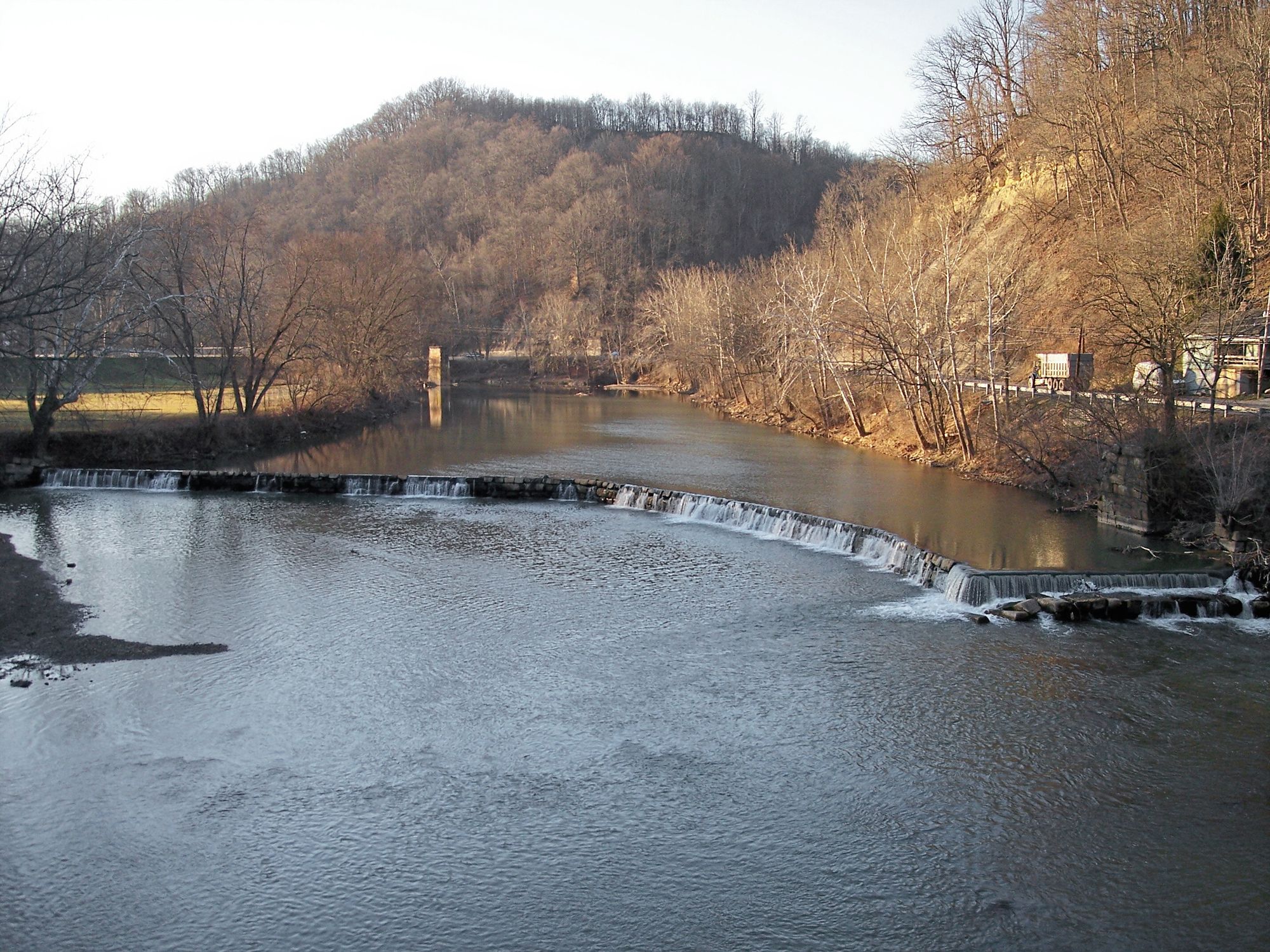
on Captina Creek · take-out here
RouteClass I
- Distance
- 23.2 mi
- Paddle time
- Multi-day
- Best for
- Beginners
- Put-in → take-out
- State Route 148 Bridge → Powhatan Point Boat Ramp
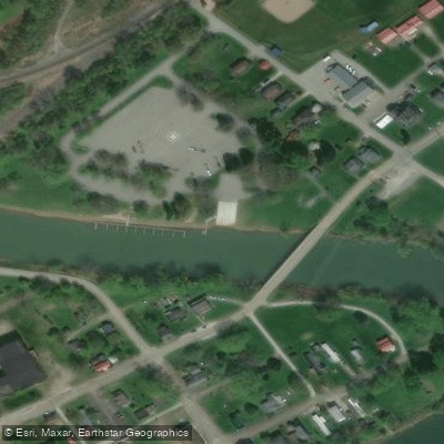
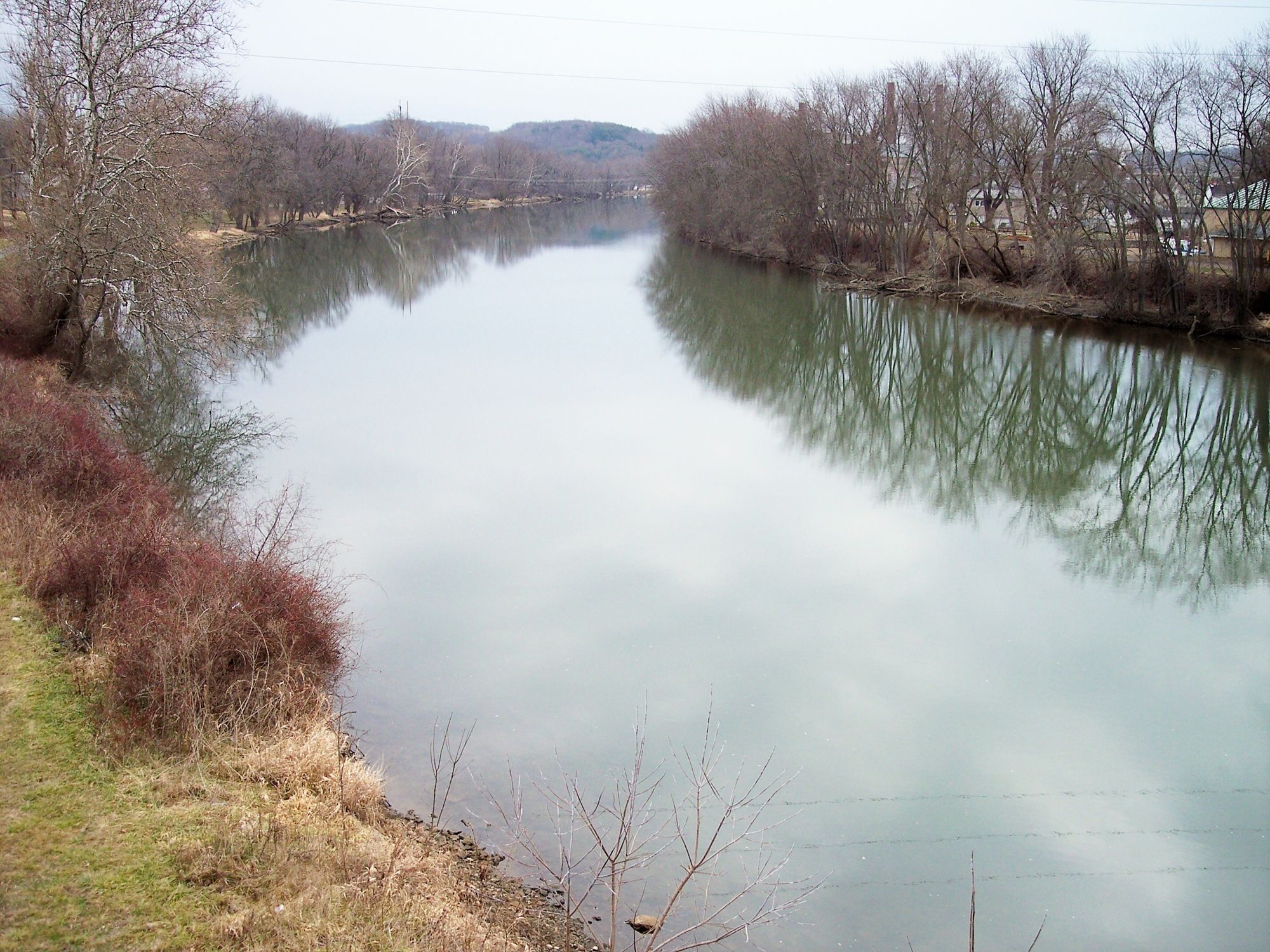
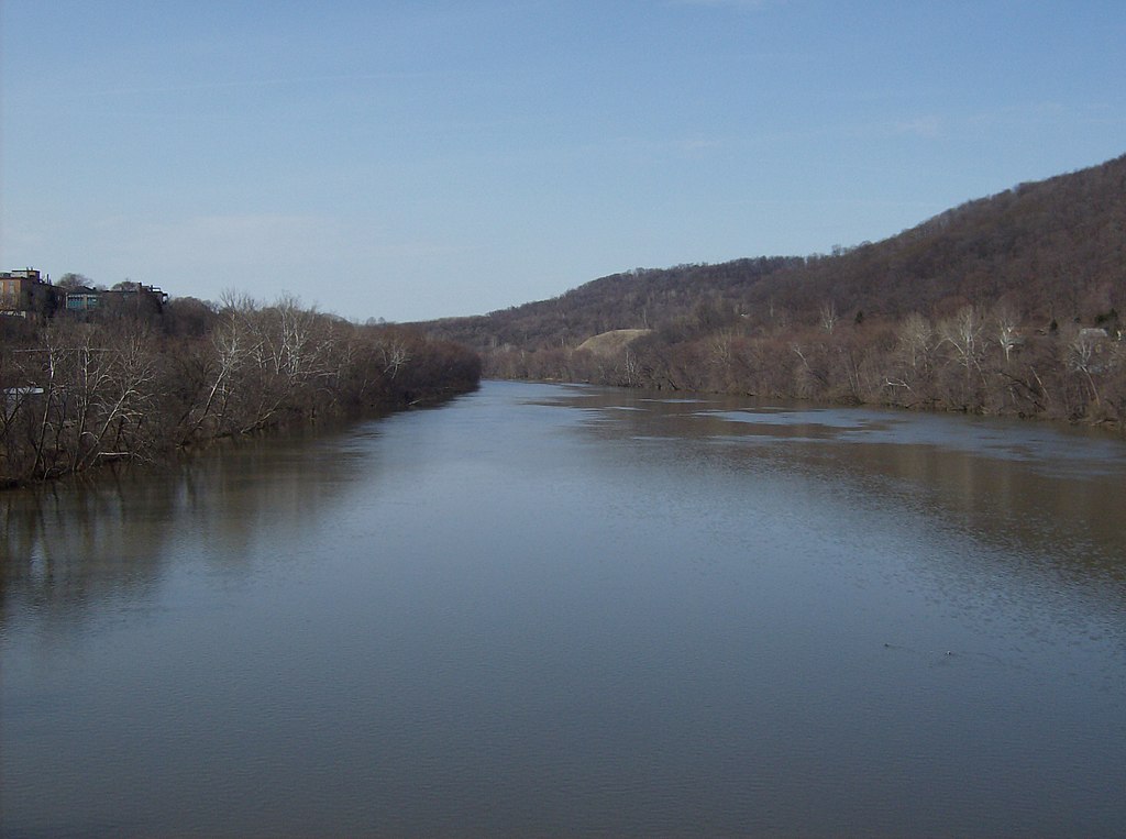
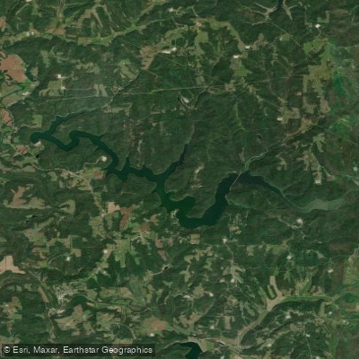
Powhatan Point Boat Launch provides public access to the Ohio River and Captina Creek for boating and fishing enthusiasts.
Located in Powhatan Point along the Ohio River Scenic Byway, the facility includes a boat ramp and is a designated landing point for the Ohio River Islands National Wildlife Refuge Kayak Challenge, making it an ideal access point for paddlers exploring Captina Island and other nearby islands.
Find excellent paddling spots, easy access to boat ramps, and all the amenities you need for a memorable day. Your adventure starts here.
Curated routes
Hand-picked by the PaddleWays team, with put-ins, take-outs and paddle times. Levels are read from live gauges.
on Captina Creek · take-out here
RouteClass I
Check the forecast at Powhatan Point Boat Ramp before you go paddling.
No forecast data available.



No waters available right now.
Loading popular cities...
PaddleWays gives you everything you need to plan smarter, paddle better, and own every trip from first launch to takeout.
