Curated by PaddleWays
RouteClass I
- Distance
- 23.2 mi
- Paddle time
- Multi-day
- Best for
- Beginners
- Put-in → take-out
- State Route 148 Bridge → Powhatan Point Boat Ramp
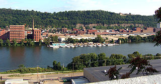
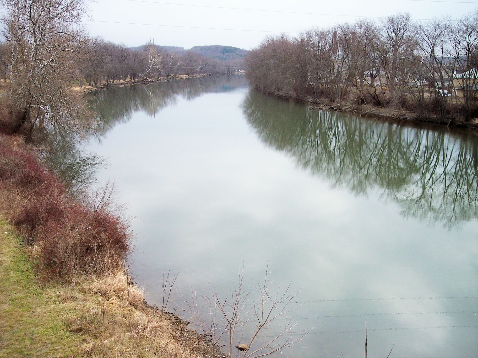
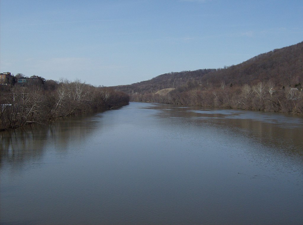
Captina Creek is a picturesque 26.1-mile long stream located in eastern Ohio. It originates west of Alledonia from the confluence of its North and South Forks, flowing east-southeastward along State Route 148 before emptying into the Ohio River at Powhatan Point. The creek and its watershed form one of Ohio's most ecologically diverse and pristine aquatic ecosystems.
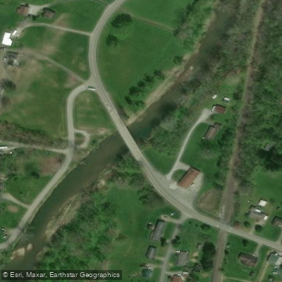
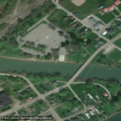
The main paddling section runs the full length of Captina Creek from the State Route 148 Bridge near Alledonia to the take-out at Powhatan Point Boat Launch on the Ohio River. This Class I waterway offers a gentle float suitable for novice paddlers and families, with mostly calm waters interspersed with occasional riffles. The creek's moderate gradient and clear waters make for an enjoyable single or multi-day paddling experience.
Spring and early summer typically provide the most reliable water levels for paddling Captina Creek. However, the stream is relatively shallow, so checking water levels is advisable before any trip. Fall colors can make for a spectacular autumn paddle when water levels cooperate.
Captina Creek's watershed supports an impressive array of aquatic life. It is home to over 55 fish species, including a healthy smallmouth bass population. The creek also harbors one of Ohio's last breeding populations of the state-endangered Eastern Hellbender salamander. Over 100 taxa of macroinvertebrates have been documented in the watershed, underscoring its ecological significance.
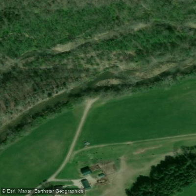
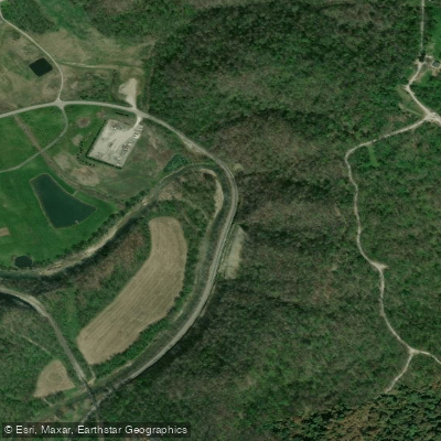
Key landmarks along Captina Creek include the historic town of Alledonia, scenic farmlands, and forested hillsides characteristic of the Appalachian foothills. The creek passes by two golf courses and a marina before reaching the Ohio River, offering glimpses of both natural beauty and human development.
Primary access points include the put-in at State Route 148 Bridge near Alledonia and the take-out at Powhatan Point Boat Launch. Several intermediate access points exist, though paddlers should respect private property. The nearby towns of Barnesville and St. Clairsville offer amenities for visitors.
Captina Creek holds cultural significance as a long-standing example of successful conservation efforts in Ohio. Local communities and organizations have worked to preserve the creek's water quality and biodiversity, making it a model for watershed protection.
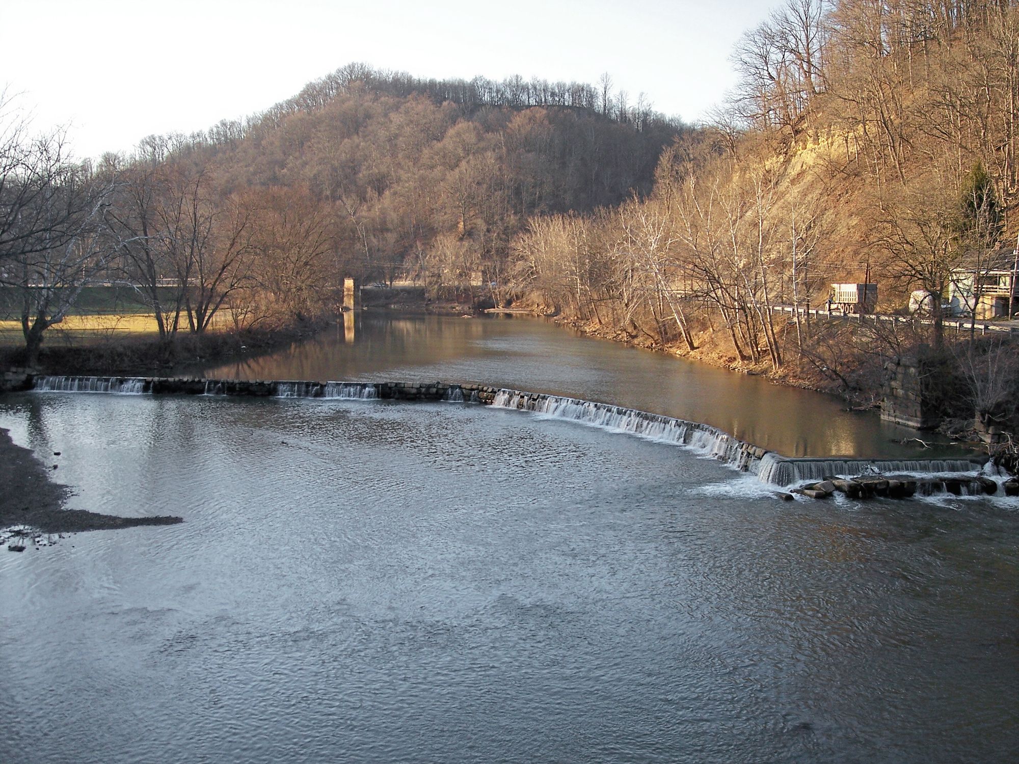
Paddlers should be aware of potential strainers and low-head dams, especially after high water events. As with any waterway, wearing a personal flotation device is essential. Multi-day trips are possible, but camping options are limited and should be arranged in advance with landowner permission where necessary.
Curated routes
Hand-picked by the PaddleWays team, with put-ins, take-outs, paddle times and the hazards along the way.
RouteClass I
Hazards
No hazards are marked on Captina Creek yet. That is not the same as none being there: if you find one, report it for the next paddler.
From the community
Nobody has shared a trip on Captina Creek yet. Paddle it, then tell the next paddler how it went.
See exactly where the public can get on and off the river. Launch points and boat ramps are paired with PaddleWays' public land data so you know where you can legally land.
Public shoreline
0%of the river's shoreline is public
Most of the riverbank is private. Launch, land and camp only at public access points.
Flows, weather and a route-by-route verdict, so you know which stretch of the Captina Creek is worth paddling today.
Live flows, marked hazards and fresh trip reports from paddlers who were just on the water, all in one place.





Every user gets free access to launch points, boat ramps, and public property parcels.

Loading popular cities...
PaddleWays gives you everything you need to plan smarter, paddle better, and own every trip from first launch to takeout.