Curated by PaddleWays
RouteFlatwater
- Distance
- 4.9 mi
- Paddle time
- ~1.5 hrs
- Best for
- Kayak, canoe
- Put-in → take-out
- Arcola Creek canoe/kayak access
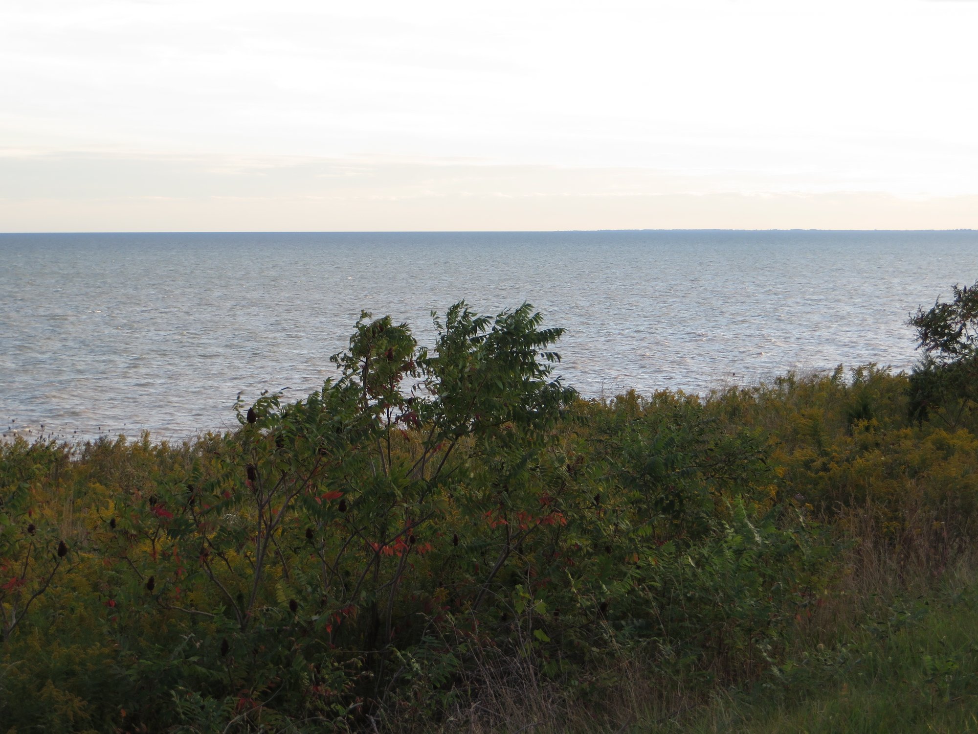
Arcola Creek originates on the ridge just north of the Grand River Valley in Lake County, Ohio, and flows northward to empty into Lake Erie at Madison Township. This relatively short waterway holds exceptional ecological significance as one of only two natural estuaries remaining along the southern shores of Lake Erie in Ohio—the other being Old Woman Creek near Huron, designated as a National Estuarine Research Reserve.
The creek's estuary represents a critical transition zone where freshwater mixes with Lake Erie's waters, creating one of the most productive ecosystems in the region. Natural barriers of beach material built by wave action at the creek's mouth control water levels in the estuary, which fluctuate with both short-term and long-term changes in Lake Erie's level. This dynamic system provides essential habitat for numerous species and serves as a vital filter, preventing watershed pollutants from reaching Lake Erie.
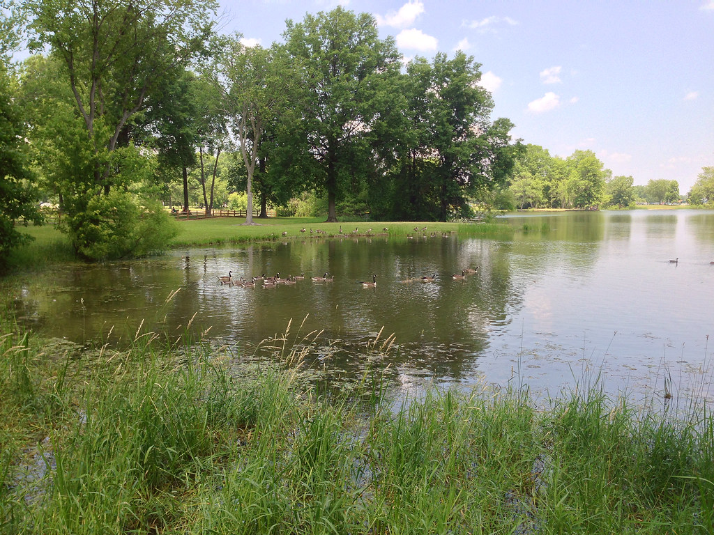
Paddling opportunities center on the estuary section at Arcola Creek Park, accessed via 941 Dock Road at Lakeshore Boulevard in Madison Township. This flatwater environment offers a unique exploration experience suitable for paddlers of all skill levels. The put-in and take-out are located within the same park area, providing convenient access to both the estuary and its upstream tributaries. Lake Metroparks manages this 182-acre park, which has expanded significantly—a 2013 acquisition added 30 acres and increased creek frontage from 1,600 feet to 4,900 feet.
Water levels significantly affect paddling conditions. In previous decades, water depths of several feet allowed canoes to explore the estuary and upstream areas extensively. Recent conditions may vary based on Lake Erie's water levels and seasonal changes.
The estuary serves as crucial habitat for migrating waterfowl and birds, making it a recognized stop on the Lake Erie Birding Trail's Ashtabula Loop. Low marshy areas attract rails during migration, while the ecosystem supports fish nurseries and numerous amphibian species. The area's ecological sensitivity stems from its role as sanctuary for native plant and animal communities.
Historical records reveal that in the early 1800s, the area surrounding Arcola Creek at Lake Erie was a thriving shipbuilding and industrial community known as Ellensburg. Industrial activity declined in the 1850s, and subsequent restoration efforts have returned the estuary and floodplain to a more natural setting.
Park amenities include canoe and kayak access, an observation deck for wildlife viewing, fishing access, a beach area reached via the 0.16-mile gravel-surfaced Wickert Trail, and portable restrooms. The park operates daily from 6 a.m. to 11 p.m. and welcomes pets on leashes.
The U.S. Army Corps of Engineers has recognized the watershed's importance through a Section 206 Aquatic Ecosystem Restoration Project, reflecting ongoing efforts to preserve this rare natural feature along Ohio's Lake Erie coastline.
Curated routes
Hand-picked by the PaddleWays team, with put-ins, take-outs, paddle times and the hazards along the way.
RouteFlatwater
Hazards
No hazards are marked on Arcola Creek yet. That is not the same as none being there: if you find one, report it for the next paddler.
From the community
Nobody has shared a trip on Arcola Creek yet. Paddle it, then tell the next paddler how it went.
See exactly where the public can get on and off the river. Launch points and boat ramps are paired with PaddleWays' public land data so you know where you can legally land.
Public shoreline
4%of the river's shoreline is public
Most of the riverbank is private. Launch, land and camp only at public access points.
Flows, weather and a route-by-route verdict, so you know which stretch of the Arcola Creek is worth paddling today.
No forecast data available.
Live flows, marked hazards and fresh trip reports from paddlers who were just on the water, all in one place.





Every user gets free access to launch points, boat ramps, and public property parcels.
Loading popular cities...
PaddleWays gives you everything you need to plan smarter, paddle better, and own every trip from first launch to takeout.