Dunns Pond
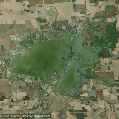
Dunns Pond
- Boat Ramps
- 8
- Access Points
- 14
- Campsites
- 3
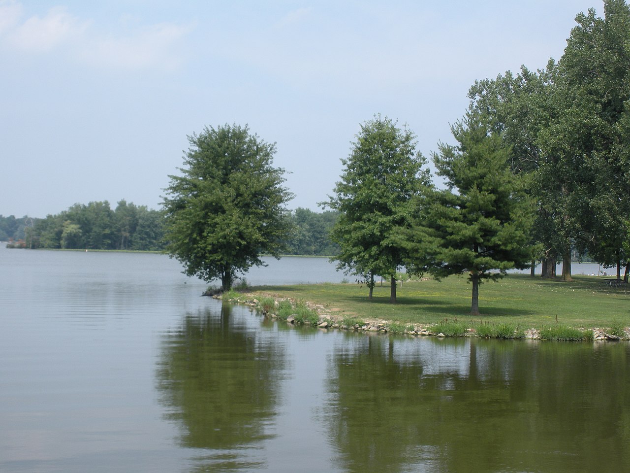
Dunns Pond is a small bay located along the southeastern corner of Indian Lake in Logan County, Ohio. The pond was formed when the Miami River was dammed in 1860 to support canal traffic, causing Indian Lake to expand beyond its natural boundaries.
While not a standalone lake, Dunns Pond is part of the larger Indian Lake ecosystem. The area around Dunns Pond is rich in Native American history, with several prehistoric mounds located nearby. The Dunns Pond Mound, believed to have been built by the Hopewell people between 300 BC and 600 AD, sits near the shoreline of the pond. This mound was used as a burial site for centuries and is now listed on the National Register of Historic Places.
In recent decades, development has increased around Indian Lake, including the creation of a small community called Moundwood near Dunns Pond. Access to the Dunns Pond Mound itself is restricted, with the former trail removed and a fence placed around the mound to protect it.
Dunns Pond's connection to Indian Lake offers opportunities for exploring the wider lake system. Paddlers should be aware of the area's historical significance and take care to respect protected archaeological sites.
For those planning a paddling trip to Dunns Pond and the surrounding Indian Lake area, it's advisable to check with local resources for current conditions, access points, and any specific guidelines or restrictions. The historical nature of the area adds a unique dimension to the paddling experience, but also requires extra consideration and respect from visitors.
Water access, boat ramps & amenities
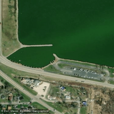
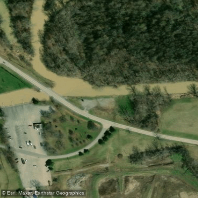
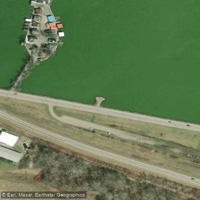
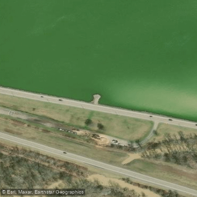
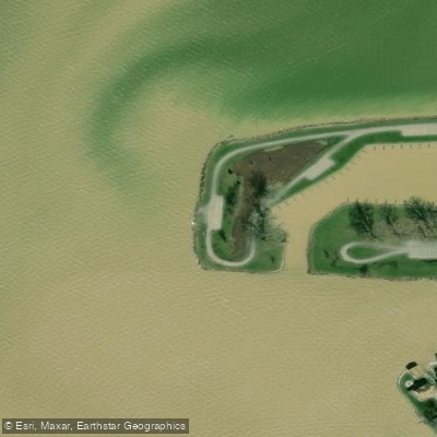
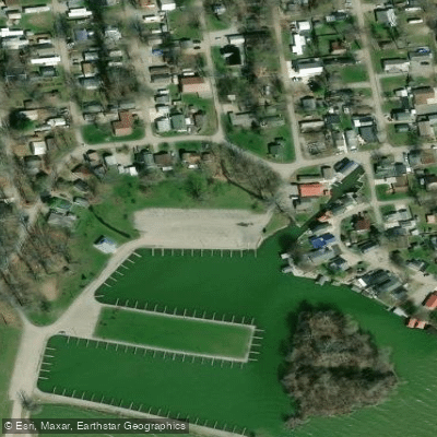
Learn how to get on Dunns Pond. Uncover great paddling access points, boat ramps, and all the facilities you need for an unforgettable day on the water. Some locations shown may border or include private property. Always check property boundaries and applicable regulations before visiting. PaddleWays's Public & Private Land layer can help you plan your access with confidence.
Paddle smarter with real-time insights
Whether you're en route and conditions shift or you're looking for the best spot based on current flows, we enable you to make informed decisions on the fly.








Find Places to Paddle

Over 400,000 Places to Paddle
Every user gets free access to launch points, boat ramps, and public property parcels.


Water and weather conditions (10 day forecast)
See the best times to paddle Dunns Pond and check the forecast before you go.
Indian Lake at Russells Point OH
Paddling near Dunns Pond
Lake Loramie
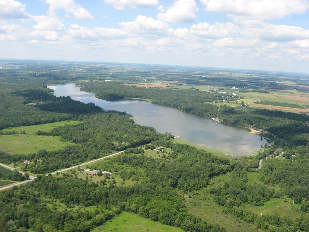
Kiser Lake
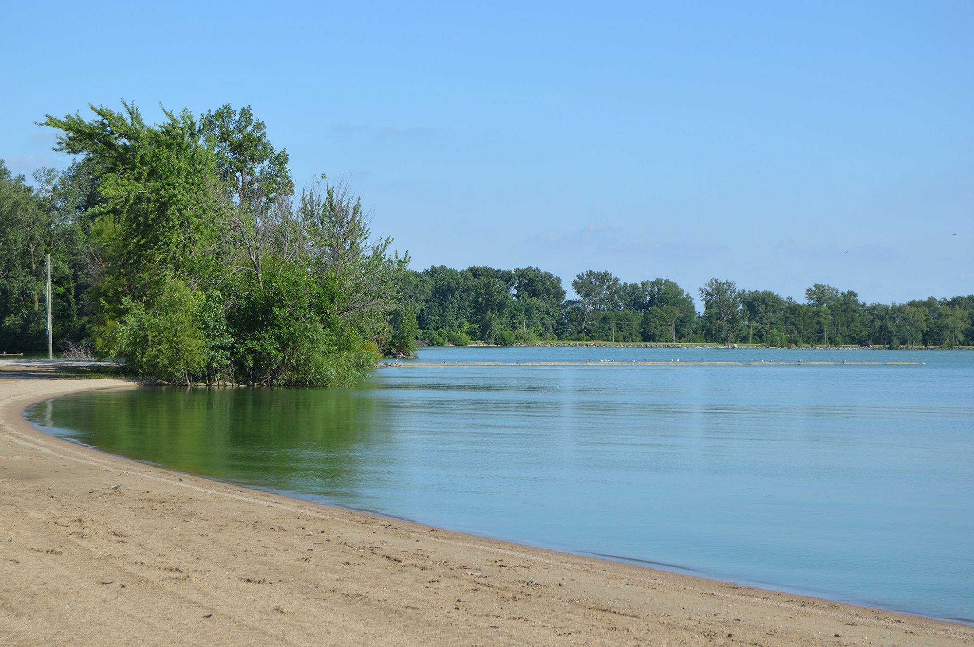
Grand Lake
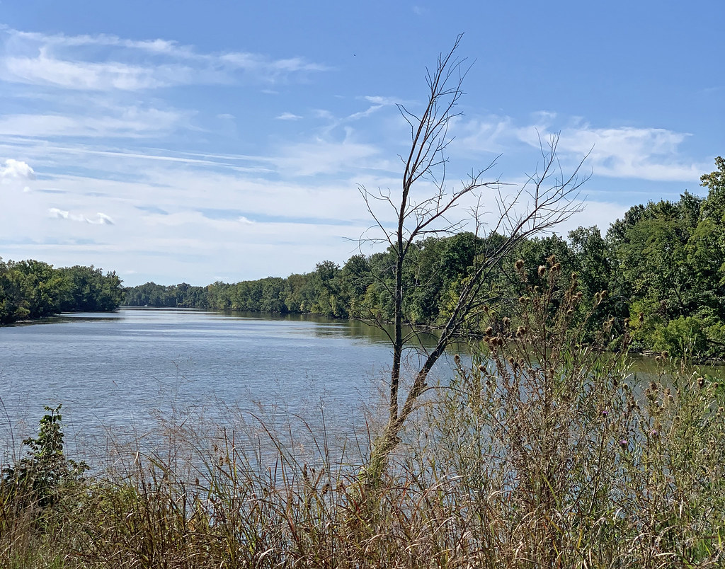
Auglaize River
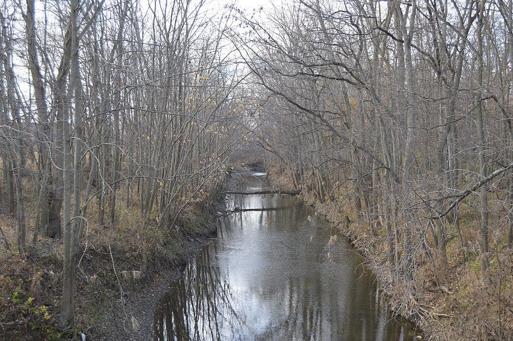
Stillwater River
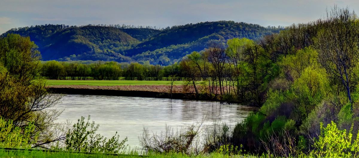
Scioto River

White River
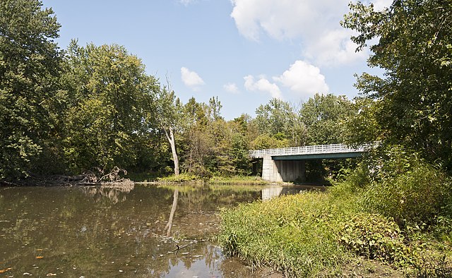
Big Darby Creek
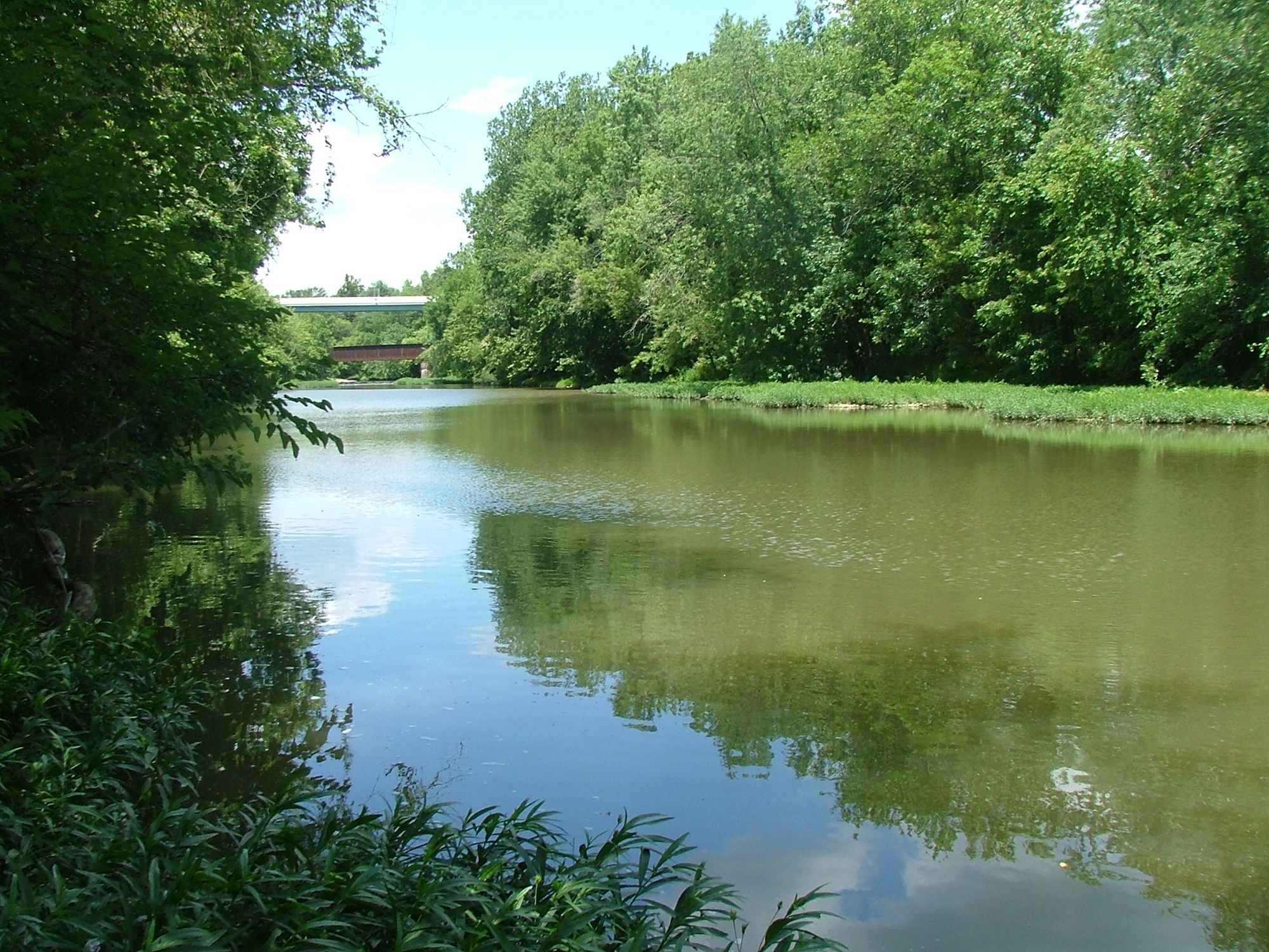
Paint Creek
Deer Creek
Explore Ohio waters
Top paddling waters
Popular Cities
Loading popular cities...
Explore near Dunns Pond
Access points
- Long Island Point Boat Ramp
- Indian Lake State Park Ramp
- Lakeview Harbor Boat Ramp
- Chippewa Boat Ramp
- Cranetown Island Boat Ramp
- Blackhawk Boat Ramp
- Camp Boat Ramp
- Indian Lake State Park Boat Ramp
- Indian Lake State Park Access
- Indian Lake State Park Access
- Indian Lake State Park Access
- Indian Lake State Park Fishing Pier
- All 89 spots
Nearby waters
More in Ohio

Smarter Paddling Starts in the App.
Paddleways gives you everything you need to plan smarter, paddle better, and own every trip from first launch to takeout.