Lake Vesuvius
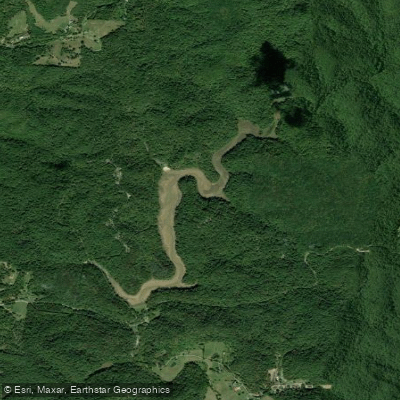
Lake Vesuvius
- Boat Ramps
- 2
- Access Points
- 2
- Campsites
- 3
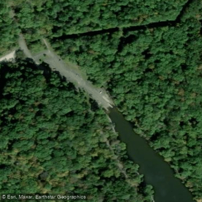
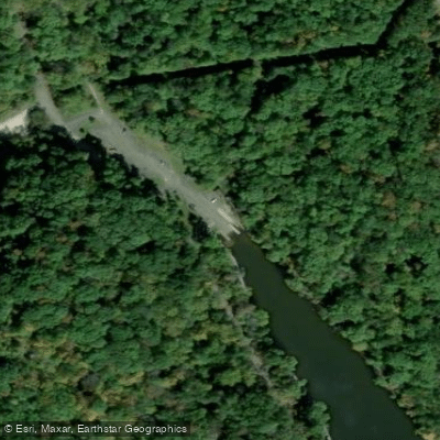
Lake Vesuvius is a 143-acre lake in Wayne National Forest, featuring rugged hills and outcropping cliffs as a scenic backdrop. The lake has one primary boat launch area at the southwestern tip, with a well-maintained boat ramp, loading dock, and parking facilities. Vault toilets are available year-round at the boat ramp area.
Only electric motors and non-motorized boats are permitted on the lake. Seasonal kayak and canoe rentals are available from Kountry Kayaks between May and September at the boat ramp. The lake's motor restrictions create a peaceful paddling environment without concern for high-speed boat traffic.
The shoreline is characterized by sandy coves and rock slabs that provide natural rest stops. The lake is encircled by over 25 miles of hiking trails, including the 8-mile Lakeshore Trail that offers paddlers views of rock outcrops and hemlock forests from the water. Wildlife viewing opportunities include woodland songbirds, deer, beaver, turkey, hawks, and osprey.
The lake was created in 1939 by the Civilian Conservation Corps and is named after the historic Vesuvius Iron Furnace, which can be viewed near the boat ramp. This area was once part of the Hanging Rock Iron Region, which led the nation in iron production in the late 1800s.
Facilities include pit toilets at the boat ramp, picnic areas, and a swimming beach at Big Bend (the only designated swimming area). For extended visits, two family campgrounds and one group campground are available within the recreation area.
The lake is located 6.5 miles north of Ironton, Ohio, just off State Route 93. From Ironton, take SR-93 north, then turn onto County Road 29 and follow signs to the recreation area. The site is managed by the Wayne National Forest's Ironton Ranger District.
Water access, boat ramps & amenities
Learn how to get on Lake Vesuvius. Uncover great paddling access points, boat ramps, and all the facilities you need for an unforgettable day on the water. Some locations shown may border or include private property. Always check property boundaries and applicable regulations before visiting. PaddleWays's Public & Private Land layer can help you plan your access with confidence.
Paddle smarter with real-time insights
Whether you're en route and conditions shift or you're looking for the best spot based on current flows, we enable you to make informed decisions on the fly.








Find Places to Paddle

Over 400,000 Places to Paddle
Every user gets free access to launch points, boat ramps, and public property parcels.


Water and weather conditions (10 day forecast)
See the best times to paddle Lake Vesuvius and check the forecast before you go.
No forecast data available.
Paddling near Lake Vesuvius

Ohio River
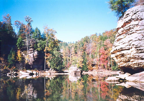
Grayson Lake
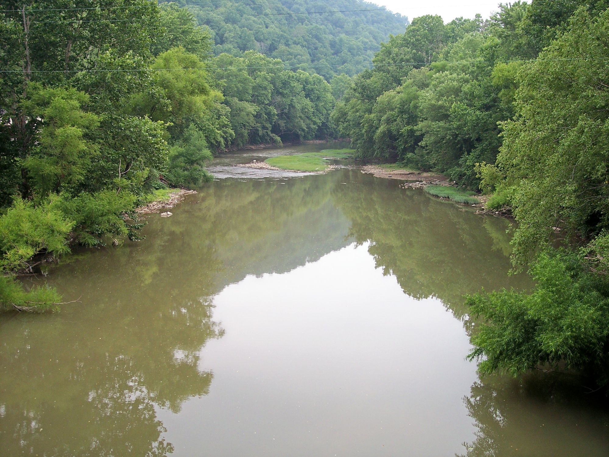
Guyandotte River
Little Sandy River
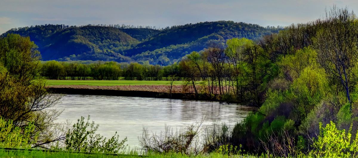
Scioto River
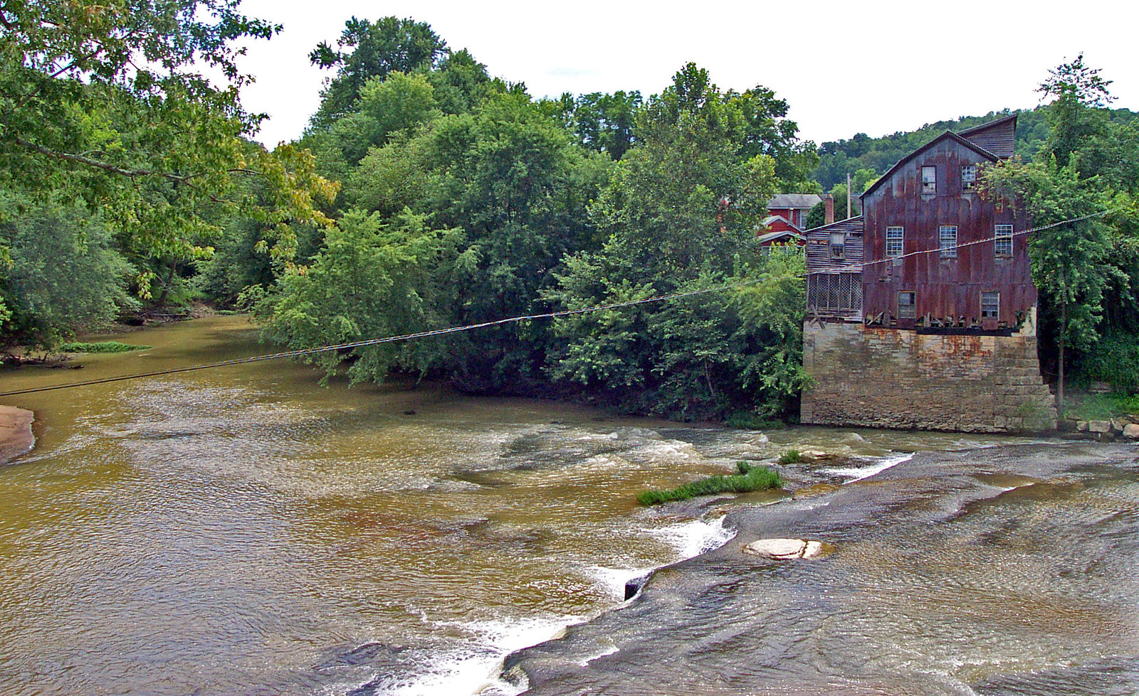
Raccoon Creek
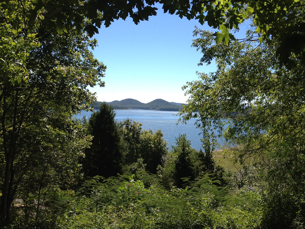
Cave Run Lake
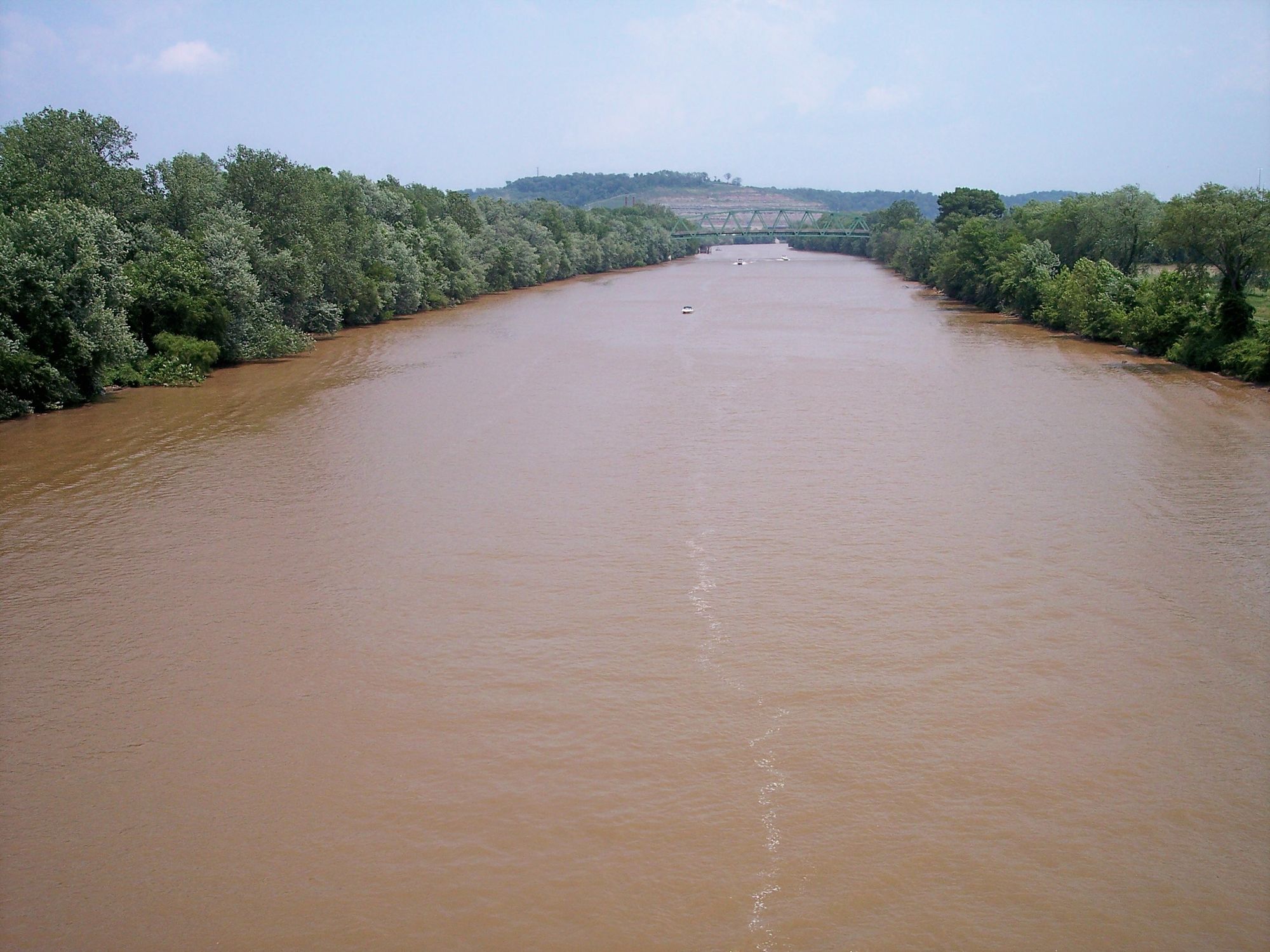
Kanawha River
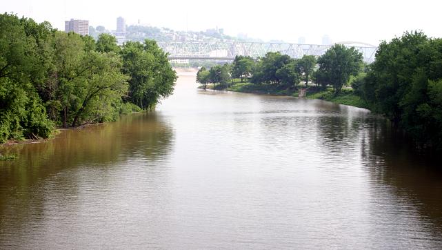
Licking River
Explore Ohio waters
Top paddling waters
Popular Cities
Loading popular cities...
Explore near Lake Vesuvius
Access points
Nearby waters
More in Ohio

Smarter Paddling Starts in the App.
Paddleways gives you everything you need to plan smarter, paddle better, and own every trip from first launch to takeout.