Curated by PaddleWays
RouteClass II–III
- Distance
- 15.5 mi
- Paddle time
- ~4 hrs
- Best for
- Canoe
- Put-in → take-out
- Clarksville → Morrow Access
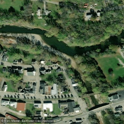
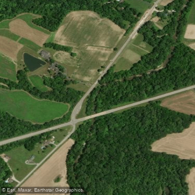
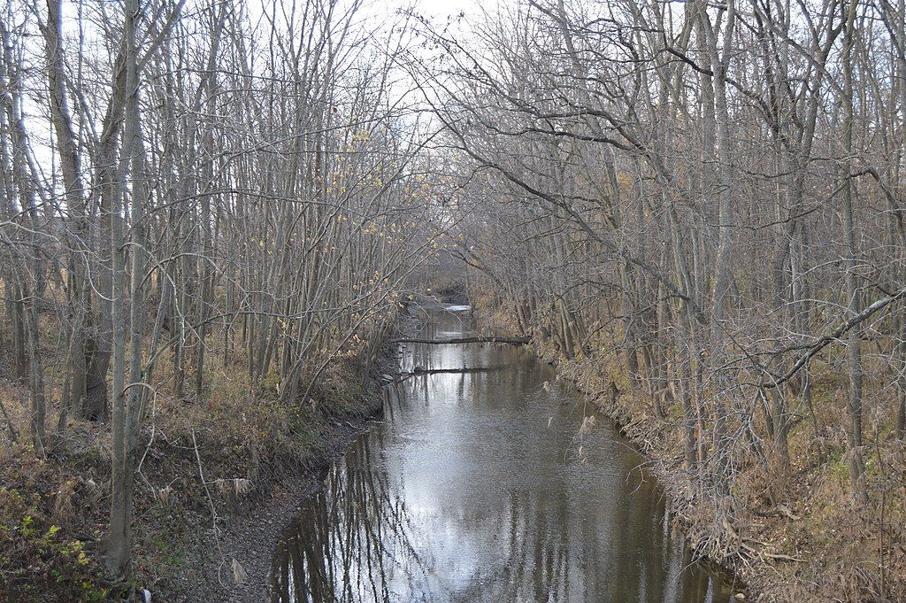
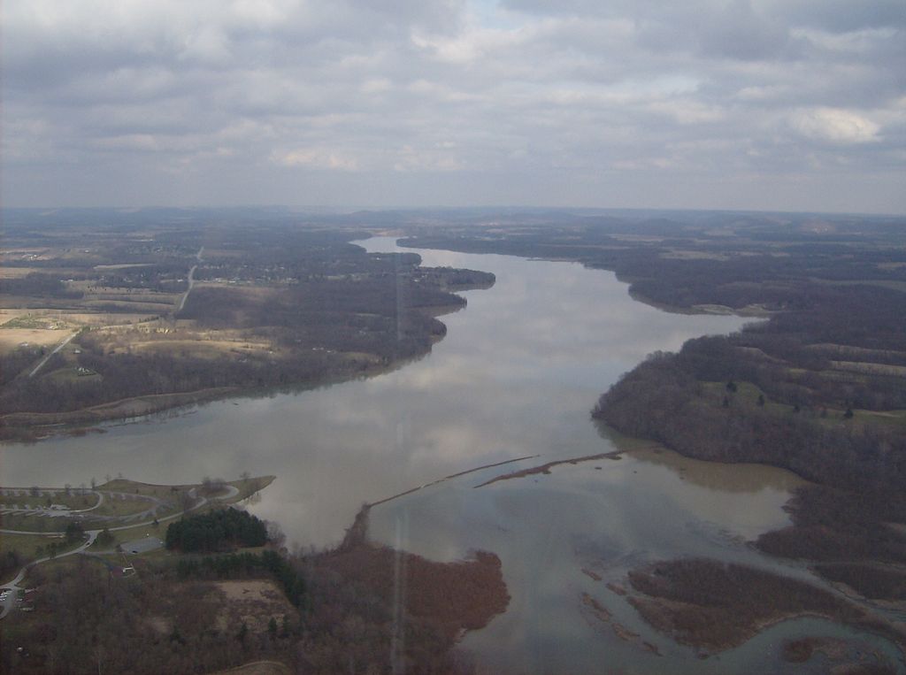
Todd Fork is a significant tributary of the Little Miami River in southwestern Ohio, flowing approximately 34 miles through Warren and Clinton counties. The river originates near the town of Clarksville and flows generally southeast, joining the Little Miami River at Morrow. Its main tributary is the East Fork Todd Fork, a 22-mile stream that joins the main stem in Warren County.
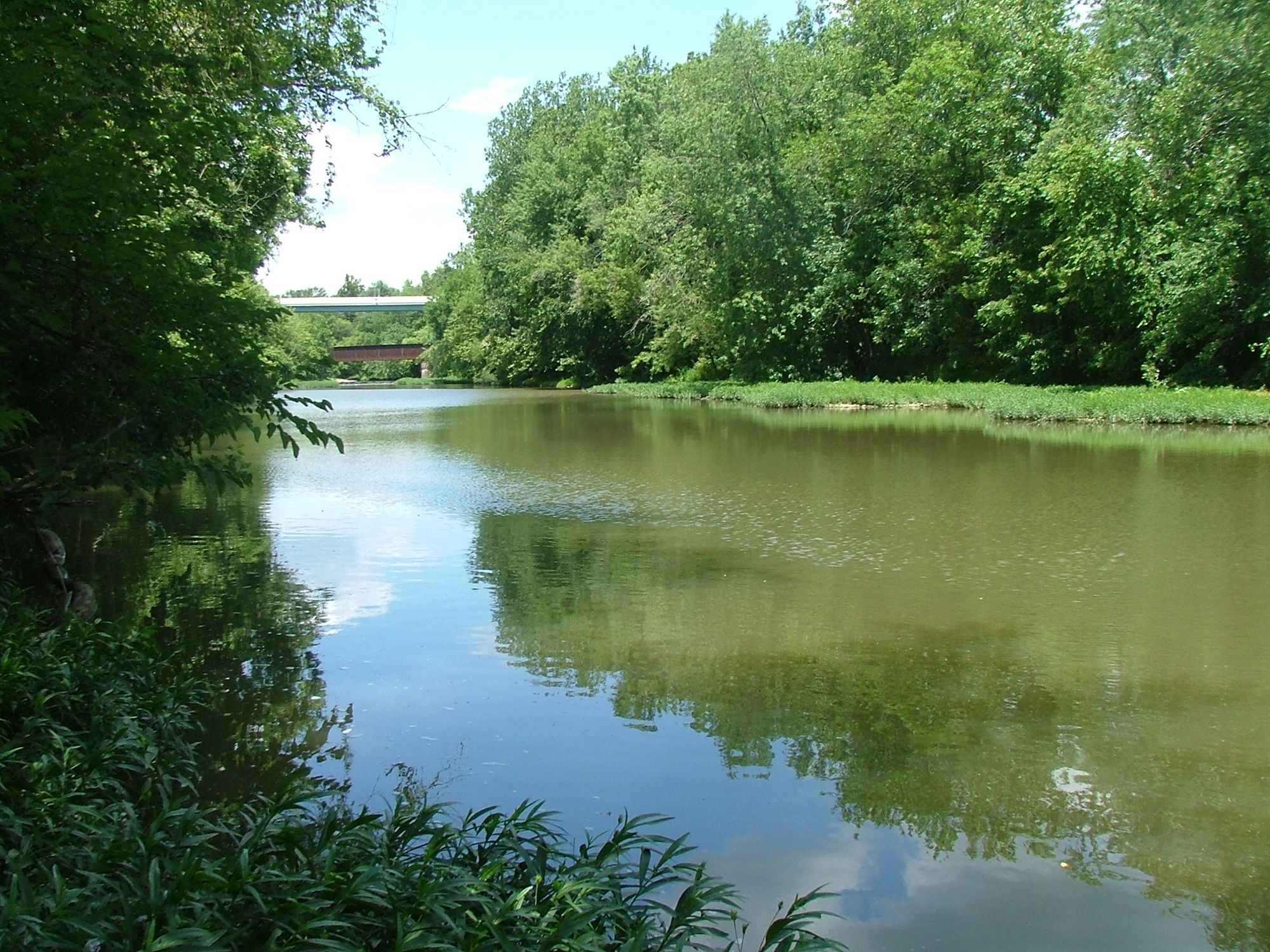
Paddlers can enjoy about 18 miles of challenging and relatively undiscovered canoeing from Clarksville to Morrow. This section offers a diverse paddling environment with pools, riffles, and meandering runs. The difficulty ranges from Class II to III, making it suitable for intermediate to experienced paddlers. While specific rapids aren't named, the overall character suggests a mix of calm sections and more challenging areas.
The best paddling times are typically in spring and early summer when water levels are higher. However, paddlers should always check current conditions before embarking on a trip. Morgan's Canoe Rental at Fort Ancient (800-933-2663) is a valuable resource for water level information and potential hazards.
Todd Fork and its surroundings support a rich ecosystem. The river is known for excellent fishing opportunities, particularly for largemouth bass and sauger. Anglers often use live bait such as shads, minnows, crawfish, or shiners. The best fishing times are around 2 AM to 3 AM and 8 AM.
Key access points include Clarksville for put-in and Morrow for take-out. The small town of Clarksville offers several bridge access points at the start of the main paddling section. Middleboro Road and Pike Street also provide access points along the river's course.
Historically, Todd Fork has played a role in the agricultural development of the region, as evidenced by its characterization as a small farm creek. The river's confluence with the Little Miami, a National Wild and Scenic River, adds to its ecological importance.
Safety considerations include checking water levels and being aware of potential hazards such as strainers or low-head dams. As with all rivers, wearing a personal flotation device is essential. For those interested in multi-day trips, the 34-mile stretch from Middleboro Road to Pike Street could potentially be divided into segments, though specific camping locations along the river are not well-known.
Todd Fork offers a blend of scenic beauty, paddling challenge, and fishing opportunities, making it a hidden gem among Ohio's waterways. Its relatively undiscovered nature provides a sense of adventure for those willing to explore this charming tributary of the Little Miami River.
Curated routes
Hand-picked by the PaddleWays team, with put-ins, take-outs, paddle times and the hazards along the way.
RouteClass II–III
Hazards
No hazards are marked on Todd Fork yet. That is not the same as none being there: if you find one, report it for the next paddler.
From the community
Nobody has shared a trip on Todd Fork yet. Paddle it, then tell the next paddler how it went.
See exactly where the public can get on and off the river. Launch points and boat ramps are paired with PaddleWays' public land data so you know where you can legally land.
Public shoreline
2%of the river's shoreline is public
Most of the riverbank is private. Launch, land and camp only at public access points.
Flows, weather and a route-by-route verdict, so you know which stretch of the Todd Fork is worth paddling today.
No forecast data available.
Live flows, marked hazards and fresh trip reports from paddlers who were just on the water, all in one place.





Every user gets free access to launch points, boat ramps, and public property parcels.

Loading popular cities...
PaddleWays gives you everything you need to plan smarter, paddle better, and own every trip from first launch to takeout.