Curated by PaddleWays
RouteFlatwater
- Distance
- 64.2 mi
- Paddle time
- Multi-day
- Best for
- Kayak, canoe
- Put-in → take-out
- Robber's Cave Access → Wister Boat Ramp
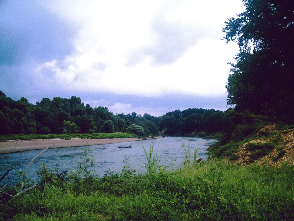
The Fourche Maline, pronounced foosh-ma-lean and meaning Bad Fork or treacherous fork in French, is a significant waterway in southeastern Oklahoma. This 70-mile-long tributary of the Poteau River originates in the Sans Bois Mountains of northwest Latimer County, flowing generally eastward before joining the Poteau River.
Paddling opportunities on the Fourche Maline are primarily concentrated around Robbers Cave State Park, where three small lakes - Lake Carlton, Lake Wayne Wallace, and Coon Creek Lake - offer calm waters ideal for leisurely canoeing and kayaking. The creek itself can provide more adventurous paddling during periods of higher water, typically following abundant rainfall. The difficulty ranges from flatwater on the lakes to potential Class I rapids on the creek, suitable for beginners to intermediate paddlers. The best times for paddling are typically spring and early summer when water levels are higher due to seasonal rains. Late summer and fall may see lower water levels, potentially limiting creek paddling opportunities.
The Fourche Maline's ecosystem supports a diverse array of flora and fauna typical of southeastern Oklahoma's forests and waterways. Wildlife enthusiasts may spot various bird species, small mammals, and possibly deer along the shores.
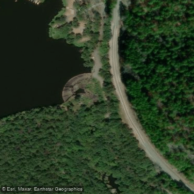
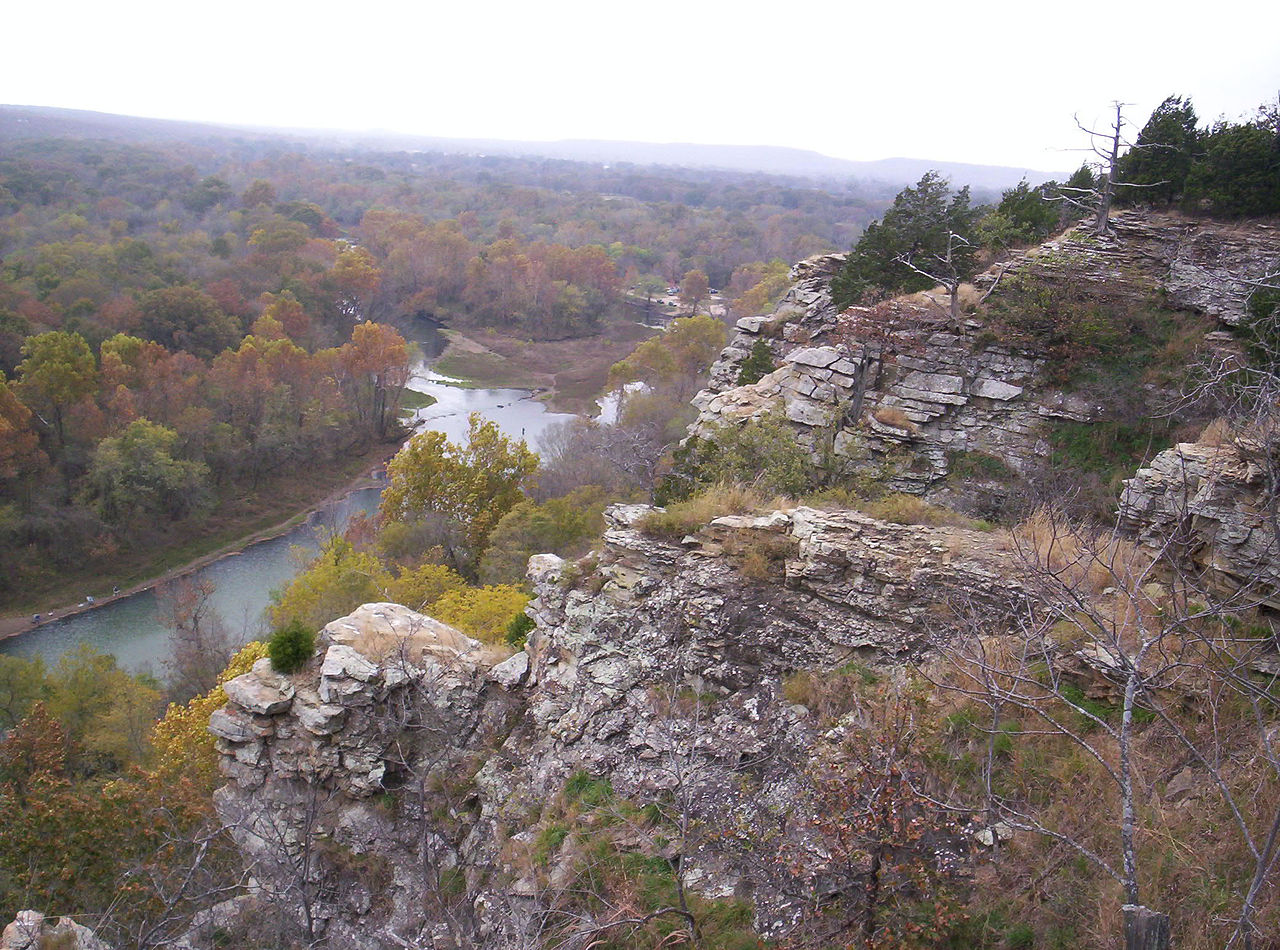
A key point of interest is Robbers Cave State Park, named for its caves that allegedly sheltered outlaws in the 19th century. The park offers numerous recreational activities beyond paddling, including hiking, rock climbing, and fishing. Lake Carlton, near the park office, provides canoe, kayak, and pedal boat rentals, as well as a swimming beach. Primary access points include put-ins within Robbers Cave State Park, with the nearest town being Wilburton, Oklahoma. A notable paddling section runs 1.5 miles from just below Lake Carlton Dam to the southern boundary of the state park, offering excellent bank access for anglers and paddlers alike.
The Fourche Maline holds significant historical and cultural importance. The area has been occupied for at least 3,500 years, with the Fourche Maline culture existing in the region from 300 BCE to 800 CE. During the Indian Territory period, the creek served as a boundary between counties in the Choctaw Nation.
Safety considerations include checking water levels before paddling, especially on the creek sections, and being aware of potential submerged obstacles. As with all waterways in state parks, adherents to local regulations regarding boating and fishing is essential. While multi-day trips on the Fourche Maline itself are limited due to its size, the combination of creek paddling and lake exploration within Robbers Cave State Park can provide an engaging weekend adventure for water enthusiasts.
Curated routes
Hand-picked by the PaddleWays team, with put-ins, take-outs, paddle times and the hazards along the way.
RouteFlatwater
Hazards
No paddler has reported a hazard here yet, so these are the dams, falls and big rapids on our map. Hazards change with flows and storms, so check them before you launch.
From the community
Nobody has shared a trip on Fourche Maline yet. Paddle it, then tell the next paddler how it went.
See exactly where the public can get on and off the river. Launch points and boat ramps are paired with PaddleWays' public land data so you know where you can legally land.
Public shoreline
7%of the river's shoreline is public
Most of the riverbank is private. Launch, land and camp only at public access points.
Flows, weather and a route-by-route verdict, so you know which stretch of the Fourche Maline is worth paddling today.
Live flows, marked hazards and fresh trip reports from paddlers who were just on the water, all in one place.





Every user gets free access to launch points, boat ramps, and public property parcels.
Loading popular cities...
PaddleWays gives you everything you need to plan smarter, paddle better, and own every trip from first launch to takeout.