Fourche LaFave River
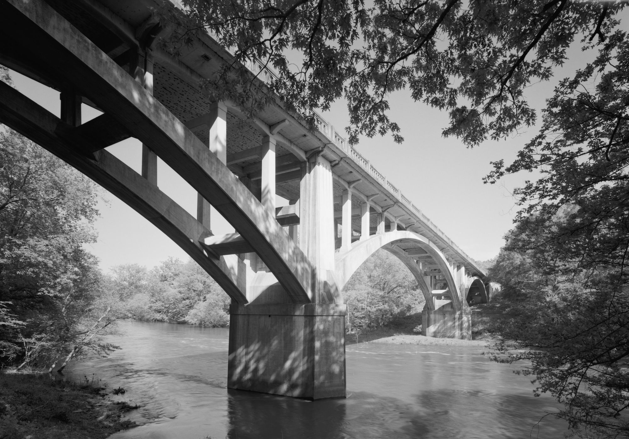
Fourche LaFave River
- Boat Ramps
- 4
- Access Points
- 4
- Campsites
- 13
The Fourche LaFave River, pronounced "Fush Luh Fave," is a scenic 140-mile tributary of the Arkansas River that flows through the Arkansas River Valley and Ouachita National Forest in western Arkansas. This remote river system offers paddlers a diverse range of experiences, from calm flatwater to exciting whitewater, all set against the backdrop of the beautiful Ouachita Mountains.
The most popular paddling section is the South Fourche LaFave River, a 40-mile stretch from Hollis to Deberrie near Aplin. This run can be divided into three distinct segments, each offering its own character. The upper section provides a fun Class I-II experience with good current and occasional pools, perfect for intermediate paddlers or adventurous beginners.
As you progress downstream, the river's personality changes, culminating in a more challenging lower section featuring several long pools separated by Class II rapids, with some drops reaching Class II+(III) difficulty. For those seeking a more intense whitewater experience, the 11.3-mile stretch from Highway 7 to the Deberrie low-water bridge is a favorite among experienced paddlers. This section offers consistent Class II+(III) rapids, providing an exciting run through the heart of the Ouachita National Forest.
Another notable tributary run is Bear Creek, a 4.5-mile Class II+(III) stretch that joins the South Fourche LaFave, offering additional whitewater opportunities for skilled kayakers.
The best time to paddle the Fourche LaFave is typically in the spring when water levels are optimal, though it can be run year-round depending on rainfall. Summer paddling is possible but may require more technical maneuvering due to lower water levels. Fall offers beautiful foliage but can be hit-or-miss for water levels.
Wildlife enthusiasts will appreciate the diverse ecosystem along the river. Keep an eye out for various fish species, including smallmouth bass, spotted bass, and catfish. The surrounding forest is home to deer, wild turkey, and a variety of bird species. The river corridor also boasts impressive stands of hardwood trees and occasional rock outcroppings that add to its scenic beauty.
Access to the river is available at several points, with the South Fourche Recreation Area on Highway 7 serving as a popular put-in. This area offers seven camping sites, making it an excellent base for overnight trips. The town of Hollis serves as the main upper access point, while Deberrie provides a convenient take-out for longer runs.
Paddlers should be aware that the Fourche LaFave can be quite remote in sections, with limited cell phone coverage. Proper safety equipment and self-rescue skills are essential, especially on the more challenging lower sections. It's always advisable to check current water levels and weather conditions before embarking on a trip.
For those looking to extend their adventure, multi-day trips are possible along the 40-mile stretch from Hollis to Deberrie. These longer journeys allow paddlers to fully immerse themselves in the river's changing character and the surrounding wilderness. Camping is available at designated sites and on gravel bars, offering a true backcountry experience.
The Fourche LaFave River, with its pristine waters and surrounding natural beauty, represents a hidden gem in Arkansas' outdoor recreation scene. Whether you're seeking a peaceful float through scenic forests or an adrenaline-pumping whitewater run, this river offers a memorable paddling experience for those willing to explore its waters.
Water access, boat ramps & amenities
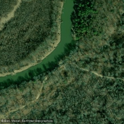
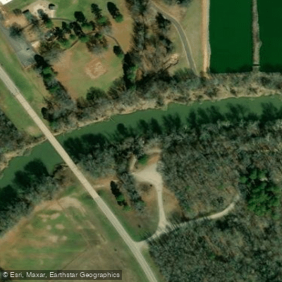
Learn how to get on Fourche LaFave River. Uncover great paddling access points, boat ramps, and all the facilities you need for an unforgettable day on the water. Some locations shown may border or include private property. Always check property boundaries and applicable regulations before visiting. PaddleWays's Public & Private Land layer can help you plan your access with confidence.
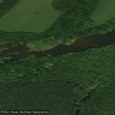
Paddle smarter with real-time insights
Whether you're en route and conditions shift or you're looking for the best spot based on current flows, we enable you to make informed decisions on the fly.








Find Places to Paddle

Over 400,000 Places to Paddle
Every user gets free access to launch points, boat ramps, and public property parcels.


Water and weather conditions (10 day forecast)
See the best times to paddle Fourche LaFave River and check the forecast before you go.
Fourche LaFave River Near Gravelly, AR
All Flow Stations
Paddling near Fourche LaFave River
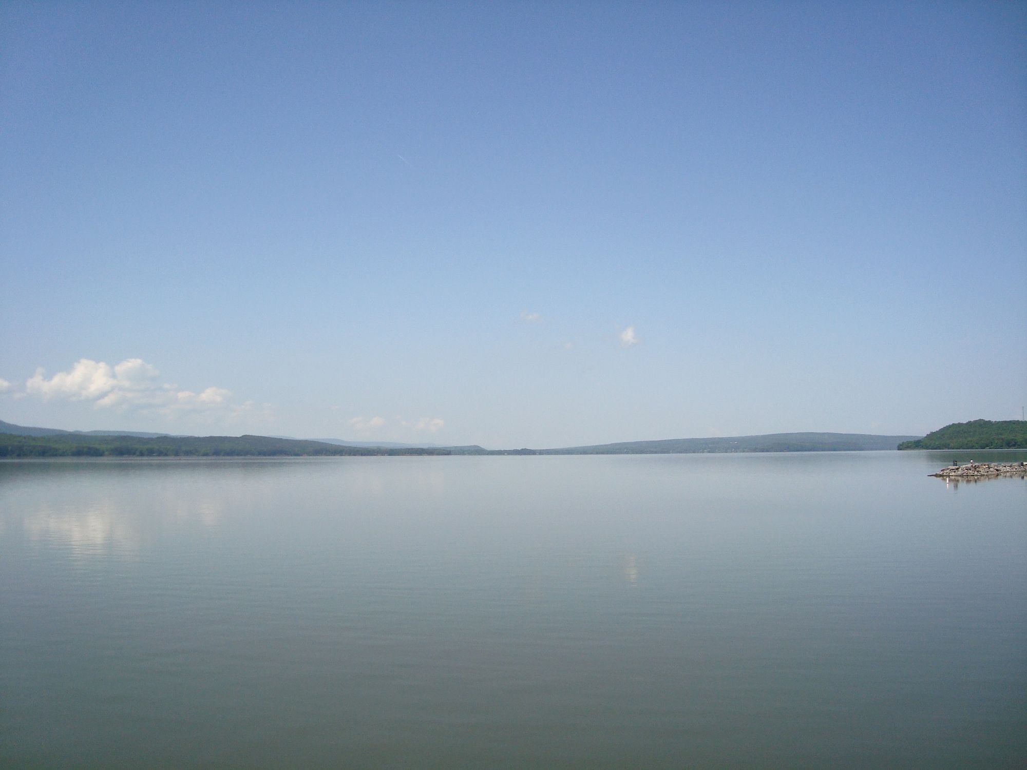
Lake Dardanelle

Arkansas River
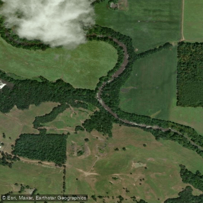
Petit Jean River
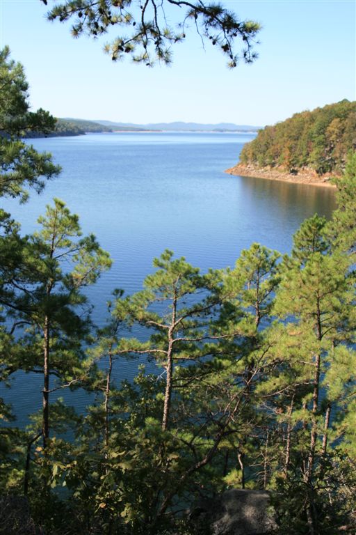
Lake Ouachita
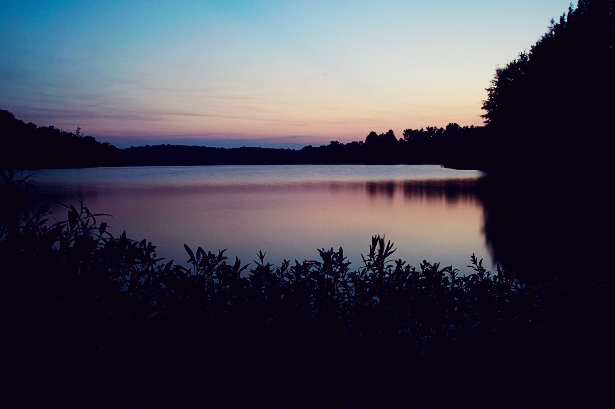
Lake Conway
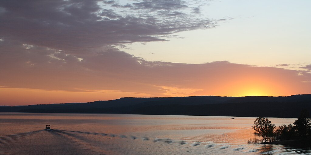
Greers Ferry Lake

White River
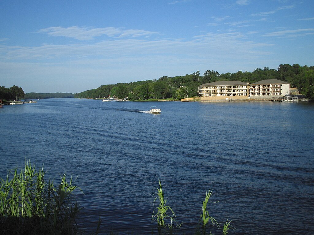
Lake Hamilton
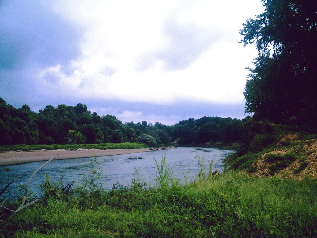
Ouachita River
Explore Arkansas waters
Top paddling waters
Popular Cities
Loading popular cities...
Explore near Fourche LaFave River
Access points
- Fourche LaFave River Seasonal Boating Access
- Perryville Public Access Fourche LaFave River
- Steel Bridge Access
- Fourche LaFave River Access
- Fourche Lafave River Bridge
- Fourche Lafave River Bridge
- Fourche Lafave River Bridge
- Fourche Lafave River Bridge
- Fourche Lafave River Bridge
- Fourche Lafave Rvr Bridge
- Fourche La Fave River Bridge
- Fourche Lafave River Bridge
- All 190 spots
Nearby waters
More in Arkansas

Smarter Paddling Starts in the App.
Paddleways gives you everything you need to plan smarter, paddle better, and own every trip from first launch to takeout.