Petit Jean River
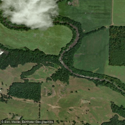
Petit Jean River
- Boat Ramps
- 12
- Access Points
- 12
- Campsites
- 13
The Petit Jean River is a scenic waterway located in west-central Arkansas. It originates in the Ouachita Mountains and flows generally eastward for approximately 100 miles before joining the Arkansas River. The river drains a watershed of about 1,000 square miles, encompassing parts of Logan, Yell, Perry, and Conway counties.
Paddling opportunities on the Petit Jean River are somewhat limited, with most recreational activities centered around Lake Bailey within Petit Jean State Park. This 100-acre lake offers calm flatwater paddling suitable for beginners and families. Kayaks and paddleboards can be rented during summer months from a self-serve kiosk at the Lake Bailey boat launch. The difficulty of paddling on Lake Bailey is rated as flatwater, requiring only basic skills. However, the main stem of the Petit Jean River outside the park can feature Class I-II rapids during higher water periods, best suited for paddlers with some whitewater experience.
Spring and fall typically offer the best paddling conditions on the Petit Jean River, with adequate water levels and pleasant temperatures. Summer paddling is possible but may be limited to Lake Bailey due to low water elsewhere. Winter paddling is not recommended due to cold temperatures and potential ice.
The river corridor supports a diverse ecosystem, including hardwood forests, limestone bluffs, and riparian habitats. Wildlife such as deer, turkey, and various bird species can often be spotted. The endangered Ozark cavefish may inhabit some of the river's underground springs and caves.
Key landmarks include Cedar Falls, a 95-foot waterfall visible from hiking trails in Petit Jean State Park, and the historic Petit Jean Mountain, which offers panoramic views of the river valley. The river also passes through the Holla Bend National Wildlife Refuge near its confluence with the Arkansas River.
Primary access points for paddling include the Lake Bailey boat launch in Petit Jean State Park, located near Morrilton. Other potential access points along the river are limited and may require local knowledge or permission to use.
The Petit Jean River holds significant cultural importance, named after a legendary French girl who allegedly disguised herself as a boy to follow her lover to the New World. The river and surrounding area have been home to Native American tribes and early European settlers, shaping the region's history.
Safety considerations include checking water levels before paddling, as the river can become dangerously swift after heavy rains. All paddlers should wear life jackets and be aware of submerged obstacles. A 10 horsepower limit is enforced for motorized boats on Lake Bailey.
While multi-day trips on the main Petit Jean River are not common due to access limitations, Petit Jean State Park offers camping facilities that allow for extended stays and repeated day paddles on Lake Bailey.
Water access, boat ramps & amenities
Learn how to get on Petit Jean River. Uncover great paddling access points, boat ramps, and all the facilities you need for an unforgettable day on the water. Some locations shown may border or include private property. Always check property boundaries and applicable regulations before visiting. PaddleWays's Public & Private Land layer can help you plan your access with confidence.
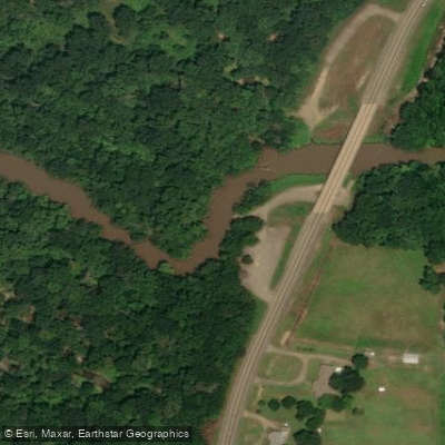
Petit Jean River Highway 7 Boat Ramp
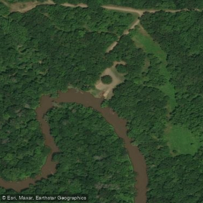
Mt. George Boat Ramp
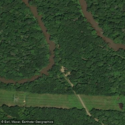
Mickles Switch Boating Access
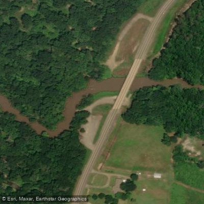
Highway 28 Bridge Boat Ramp
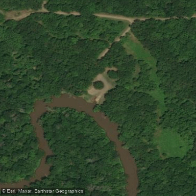
Unknown Boat Ramp
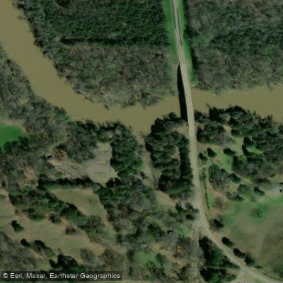
Pontoon Park Boat Ramp
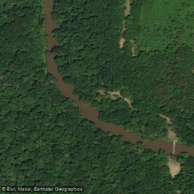
Dale Bend Boat Ramp
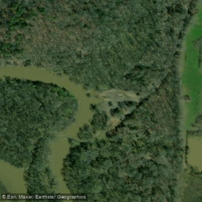
Slaty Crossing Boat Ramp
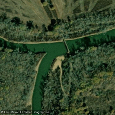
Upper Petit Jean River Boat Ramp
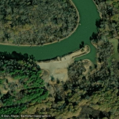
Hise Hill Boat Ramp
Paddle smarter with real-time insights
Whether you're en route and conditions shift or you're looking for the best spot based on current flows, we enable you to make informed decisions on the fly.








Find Places to Paddle

Over 400,000 Places to Paddle
Every user gets free access to launch points, boat ramps, and public property parcels.


Water and weather conditions (10 day forecast)
See the best times to paddle Petit Jean River and check the forecast before you go.
Petit Jean River near Booneville, AR
All Flow Stations
Paddling near Petit Jean River
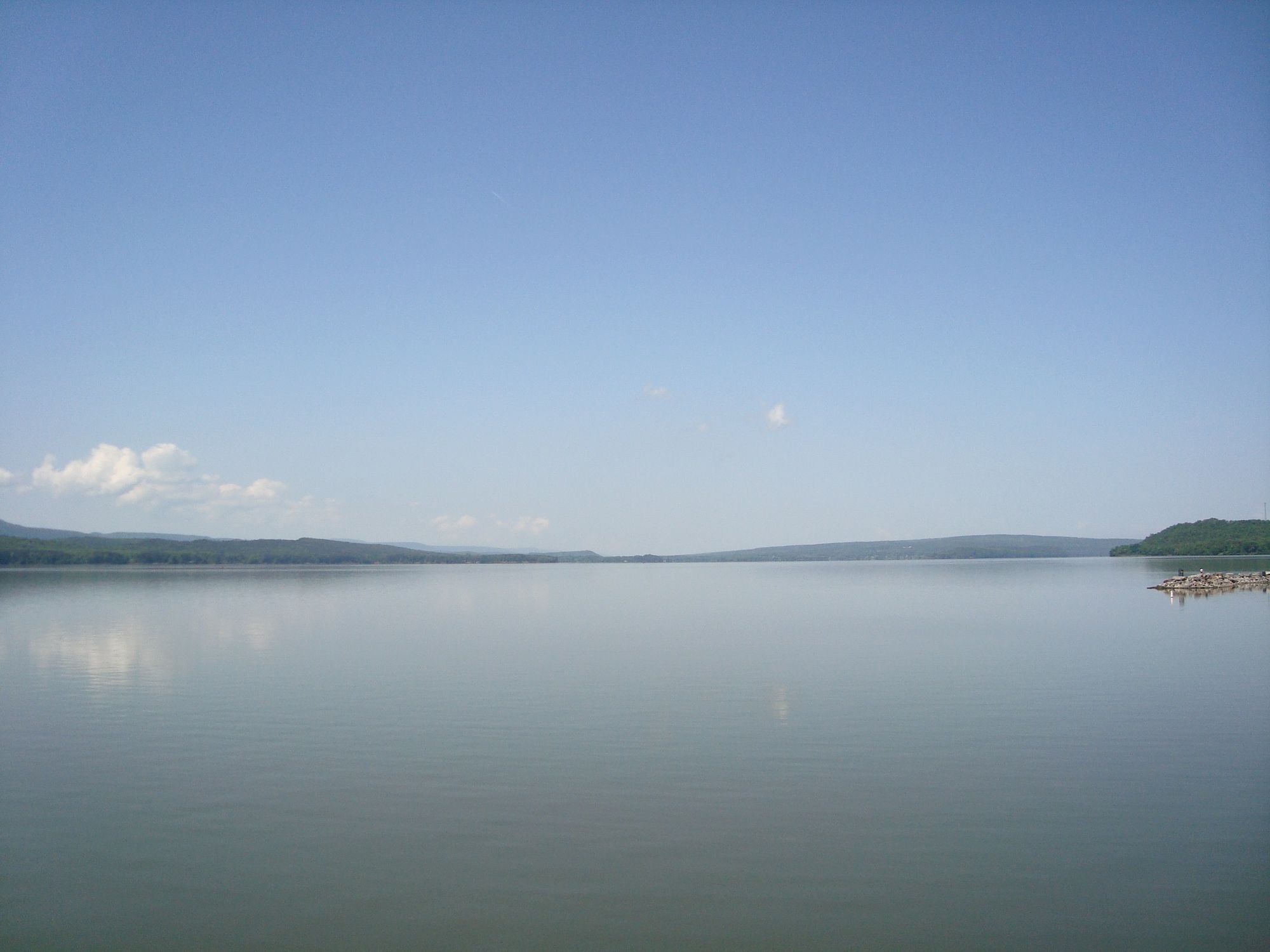
Lake Dardanelle

Arkansas River
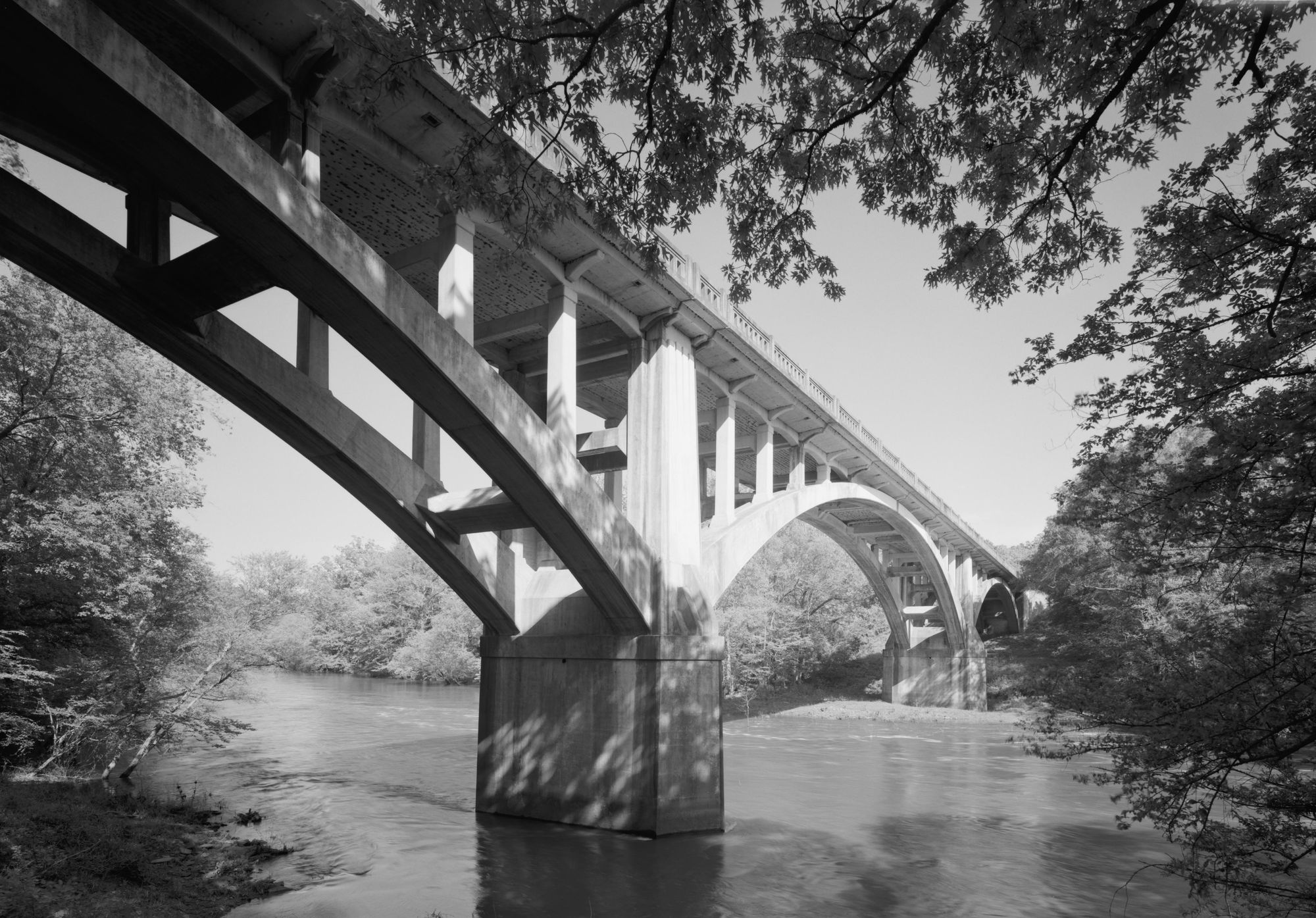
Fourche LaFave River
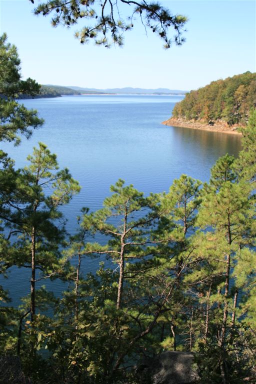
Lake Ouachita
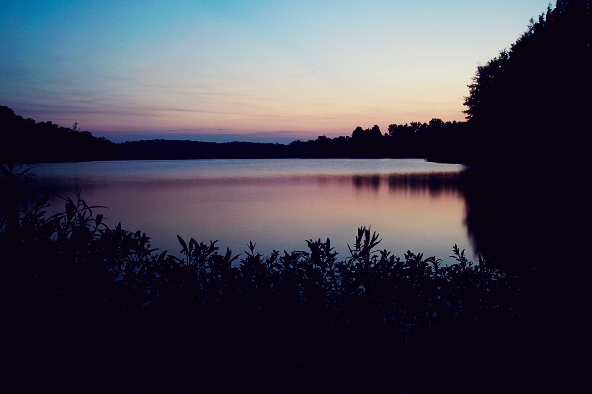
Lake Conway
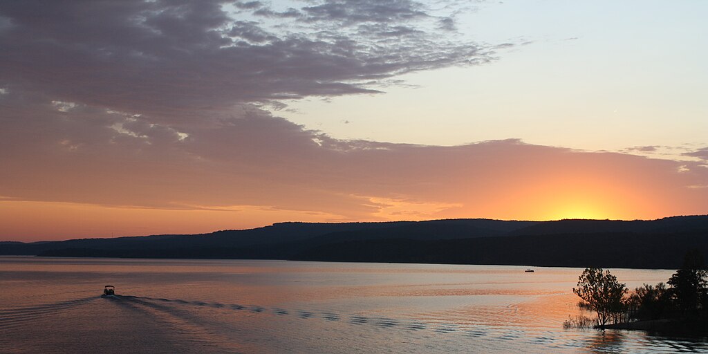
Greers Ferry Lake

White River
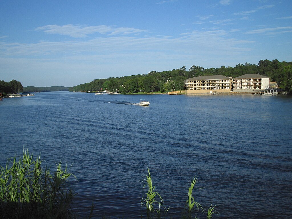
Lake Hamilton
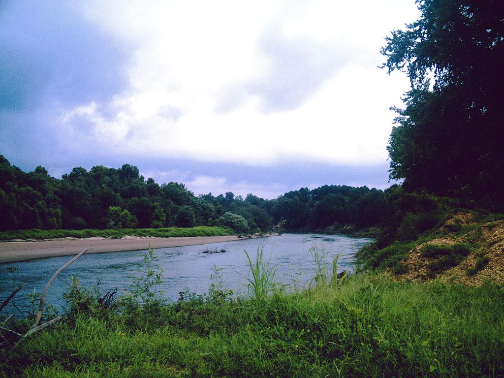
Ouachita River
Explore Arkansas waters
Top paddling waters
Popular Cities
Loading popular cities...
Explore near Petit Jean River
Access points
- Petit Jean River Highway 7 Boat Ramp
- Mt. George Boat Ramp
- Mickles Switch Boating Access
- Highway 28 Bridge Boat Ramp
- Unknown Boat Ramp
- Pontoon Park Boat Ramp
- Dale Bend Boat Ramp
- Slaty Crossing Boat Ramp
- Upper Petit Jean River Boat Ramp
- Hise Hill Boat Ramp
- Sugar Creek Boat Ramp
- Hise Hill Recreation Area Boat Ramp
- All 213 spots
Nearby waters
More in Arkansas

Smarter Paddling Starts in the App.
Paddleways gives you everything you need to plan smarter, paddle better, and own every trip from first launch to takeout.