Mulberry River
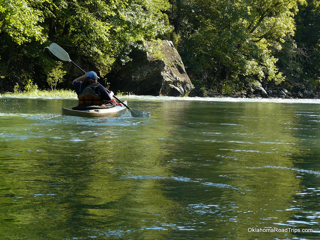
Mulberry River
- Boat Ramps
- 3
- Access Points
- 12
- Campsites
- 4
The Mulberry River is a scenic and popular whitewater destination located in northwestern Arkansas. Flowing for approximately 62 miles through the Ozark Mountains, this wild and scenic river offers paddlers a thrilling journey through forested hills, rocky bluffs, and occasional farmland before joining the Arkansas River.
The Mulberry provides a range of paddling opportunities suitable for various skill levels, with most sections falling in the Class I-III range. Popular runs include Wolf Pen to Turner Bend (16 miles), Byrd's to Turner Bend (8 miles), and High Bank to Byrd's (4 miles). The river's character changes from its upper reaches, where it features continuous rapids and a steeper gradient, to its lower sections, which offer a more relaxed float with occasional Class II rapids.
Spring is the prime season for paddling the Mulberry, typically from March through early June when water levels are most reliable. Fall can also provide good paddling opportunities, but summer often sees low water conditions that may only be suitable for tubing or very short trips. Water levels can fluctuate rapidly, so checking current conditions is essential before any trip.
The river corridor is home to diverse wildlife, including deer, turkey, and various bird species. The surrounding Ozark National Forest boasts hardwood trees that provide spectacular fall colors, making autumn a visually stunning time to visit despite potentially lower water levels.
Notable landmarks along the Mulberry include Redding Campground, a popular midway point for longer trips, and Hamm Falls, one of the river's most exciting rapids located just upstream of Turner Bend. Turner Bend itself serves as a central hub for river activities, offering camping, supplies, and shuttle services. The towns of Oark, Cass, and Ozark provide access to services and serve as gateways to the river. Numerous Forest Service roads and Highway 215 offer multiple access points along the Mulberry's course.
Historically, the Mulberry River played a role in the region's logging industry, and remnants of this past can occasionally be spotted along its banks. Today, it's valued for its recreational opportunities and as a protected waterway within the National Wild and Scenic Rivers system.
Safety considerations include wearing life jackets, being prepared for sudden water level changes, and camping at least 100 feet away from the riverbank due to flash flood potential. Multi-day trips are popular, with many paddlers opting for 2-3 day journeys from Wolf Pen or High Bank down to Turner Bend or beyond to Campbell Cemetery. Whether you're seeking a quick adrenaline rush on the upper sections or a more leisurely float through the Ozark wilderness, the Mulberry River offers a quintessential Arkansas paddling experience that draws enthusiasts from across the region.
Water access, boat ramps & amenities
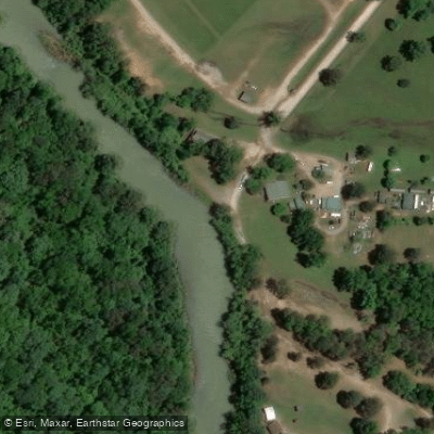
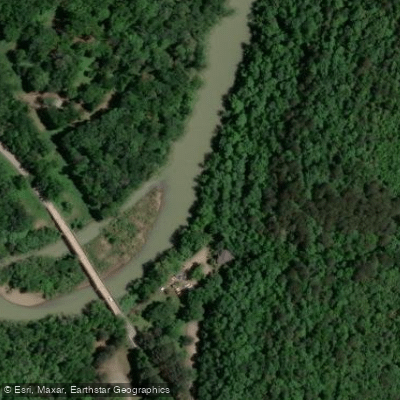
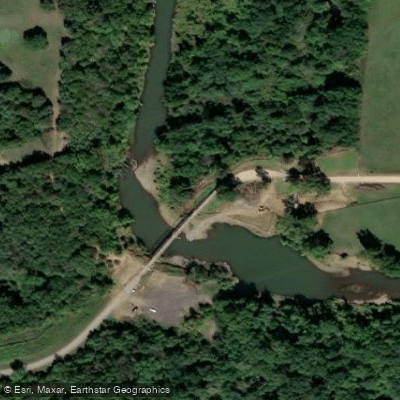
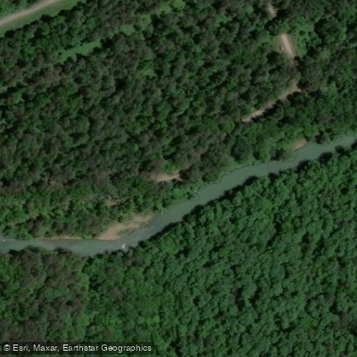
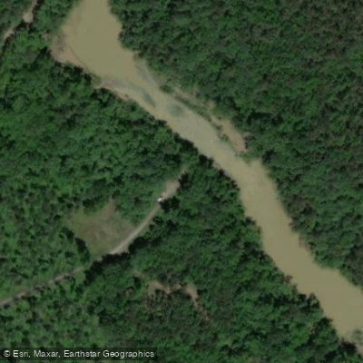
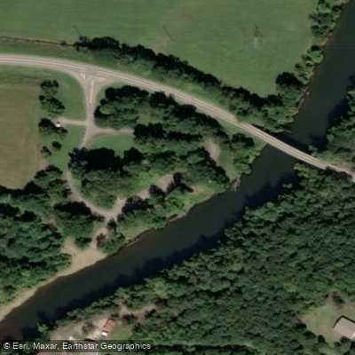
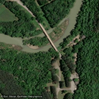
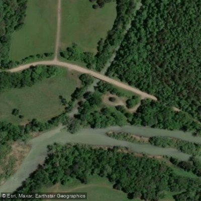
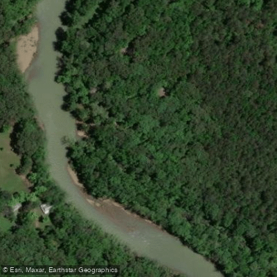
Learn how to get on Mulberry River. Uncover great paddling access points, boat ramps, and all the facilities you need for an unforgettable day on the water. Some locations shown may border or include private property. Always check property boundaries and applicable regulations before visiting. PaddleWays's Public & Private Land layer can help you plan your access with confidence.
Paddle smarter with real-time insights
Whether you're en route and conditions shift or you're looking for the best spot based on current flows, we enable you to make informed decisions on the fly.








Find Places to Paddle

Over 400,000 Places to Paddle
Every user gets free access to launch points, boat ramps, and public property parcels.


Water and weather conditions (10 day forecast)
See the best times to paddle Mulberry River and check the forecast before you go.
Mulberry River near Mulberry, AR
Paddling near Mulberry River

White River
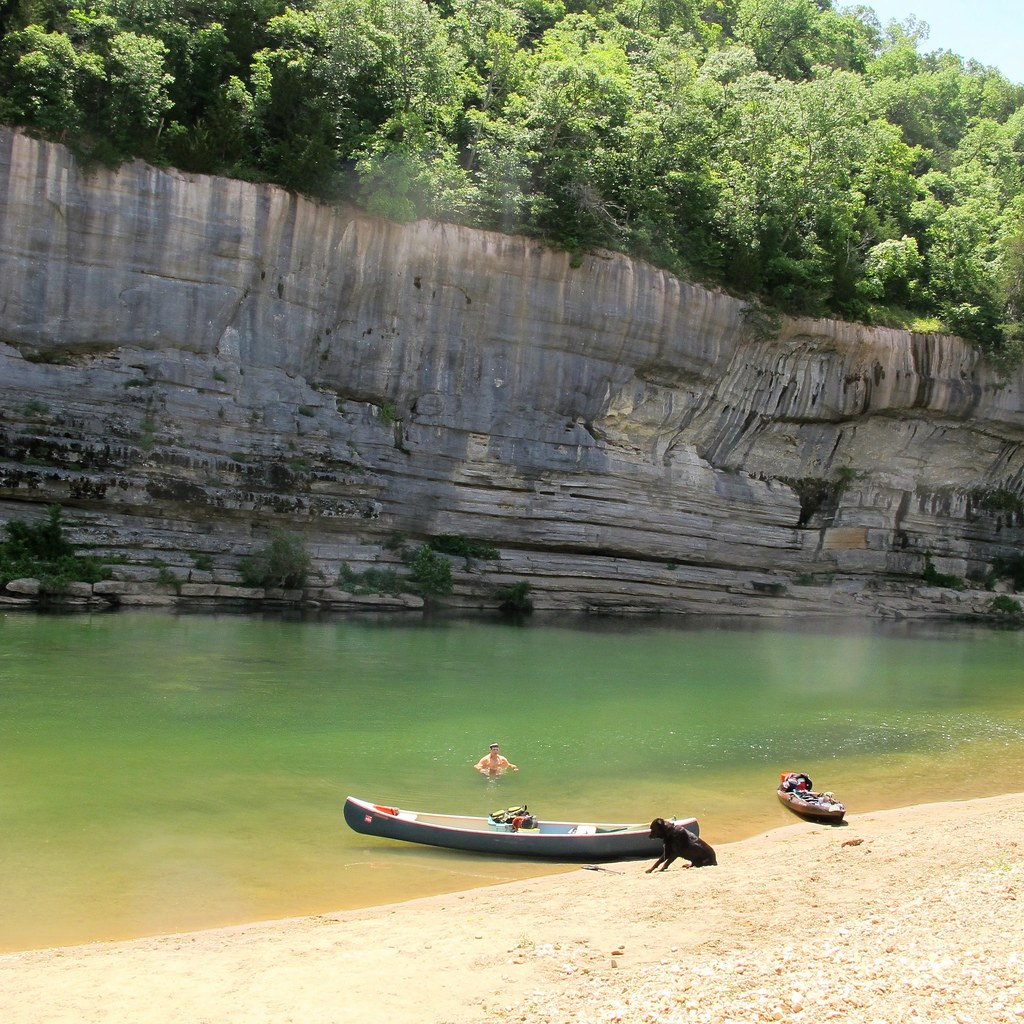
Buffalo River
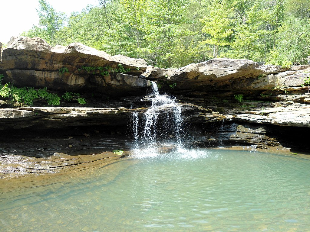
Kings River
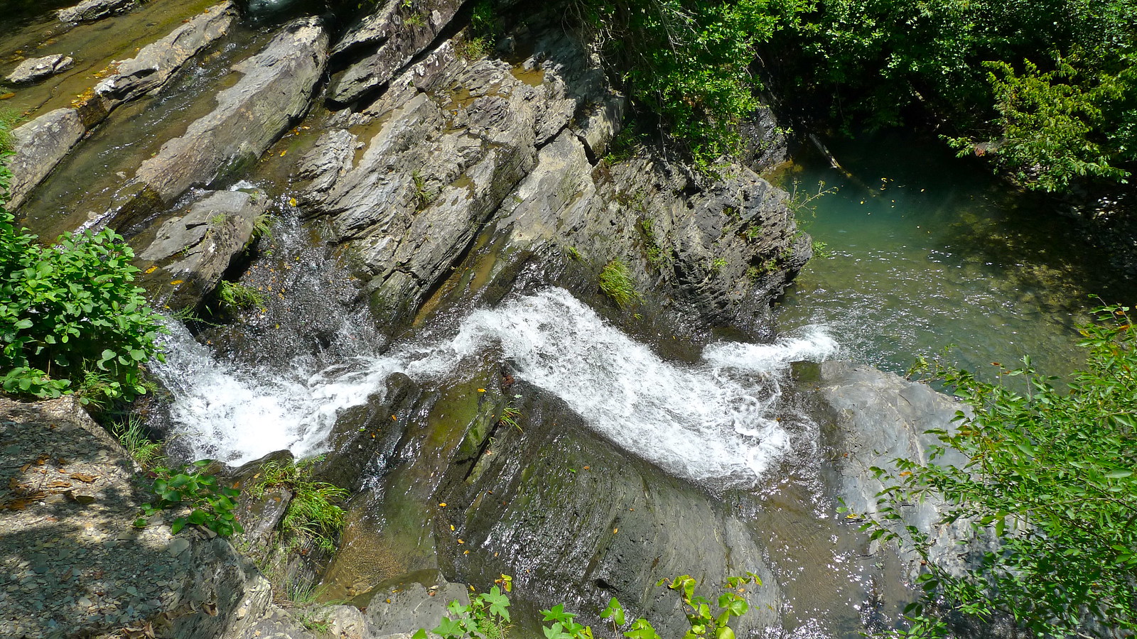
Crooked Creek
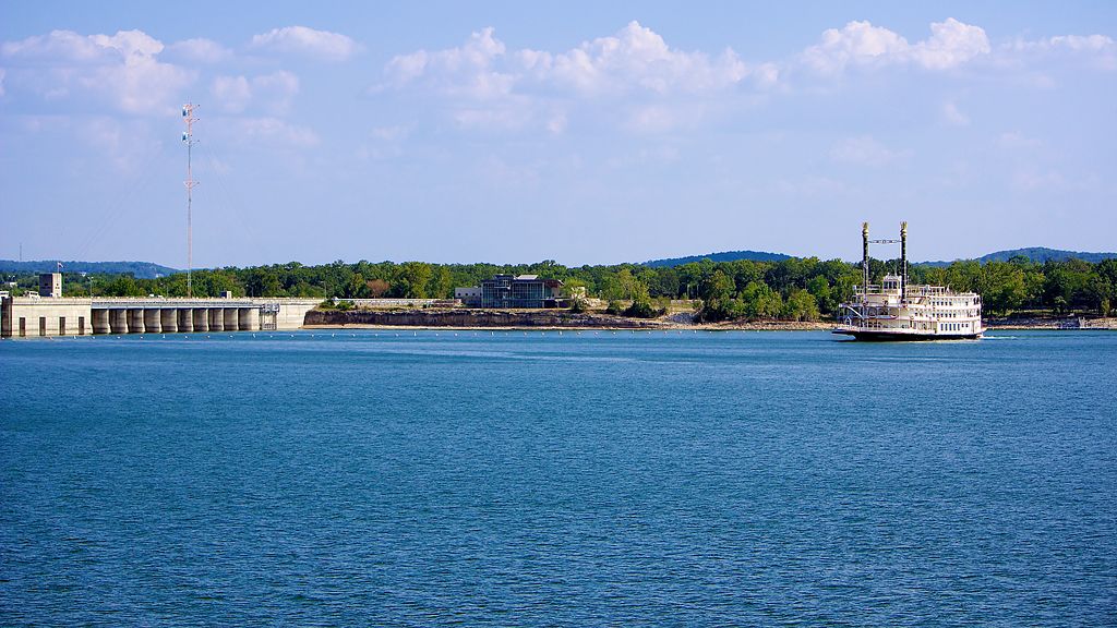
Table Rock Lake

Arkansas River
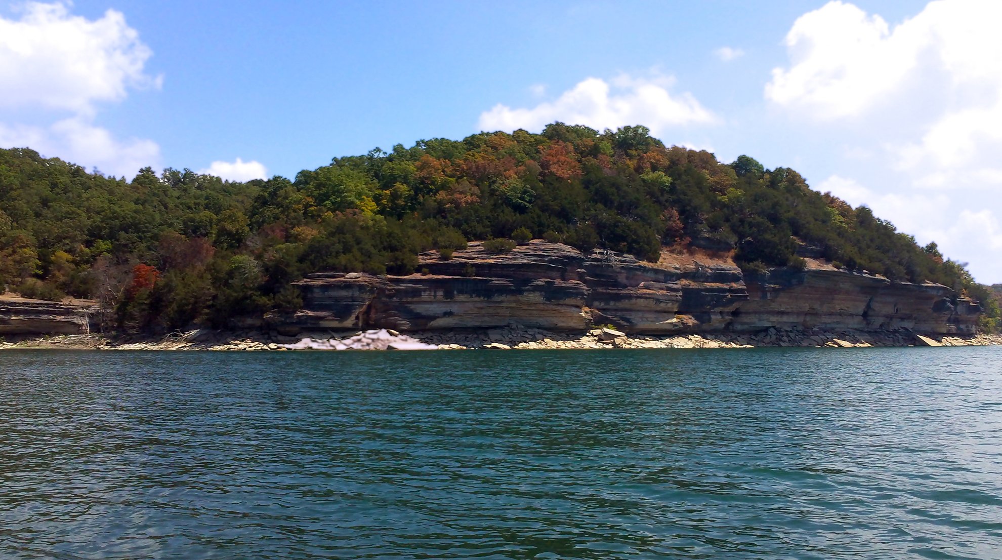
Beaver Lake
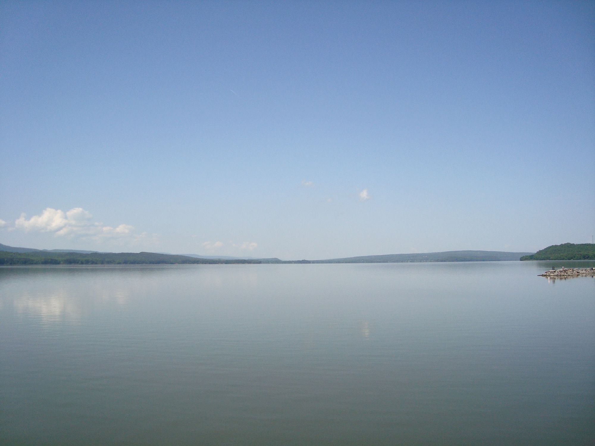
Lake Dardanelle
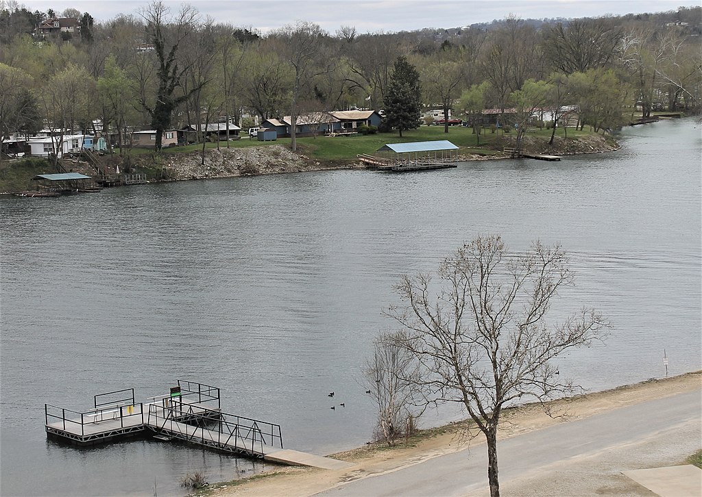
Lake Taneycomo
Explore Arkansas waters
Top paddling waters
Popular Cities
Loading popular cities...
Explore near Mulberry River
Access points
Nearby waters
More in Arkansas

Smarter Paddling Starts in the App.
Paddleways gives you everything you need to plan smarter, paddle better, and own every trip from first launch to takeout.