Curated by PaddleWays
RouteClass I–II
- Distance
- 12.5 mi
- Paddle time
- ~4 hrs
- Best for
- Beginners, families
- Put-in → take-out
- Kiamichi River Ramp Ramp → Ratan Landing
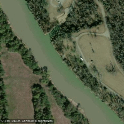
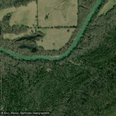
The Kiamichi River is a hidden gem nestled in the heart of southeastern Oklahoma, offering paddlers a adventure through the beautiful Kiamichi Mountain Range. Originating near the Arkansas border in Le Flore County, this 165-mile waterway flows in a south-southwest direction before joining the Red River near Hugo, Oklahoma. The river is characterized by its pristine beauty, featuring steeply sloped ridges heavily forested with diverse vegetation.
The Upper Kiamichi River Wilderness, encompassing 10,819 acres, offers paddlers a chance to experience one of the last great places in the Ouachita Mountains ecoregion.
Paddling opportunities on the Kiamichi River cater to a range of skill levels. The upper section, from the headwaters to Clayton, offers more challenging Class II-III rapids during high water, with a maximum gradient of about 30 feet per mile. The lower section, from Clayton to Hugo Lake, provides a more relaxed experience with Class I-II rapids, making it suitable for beginners and families.
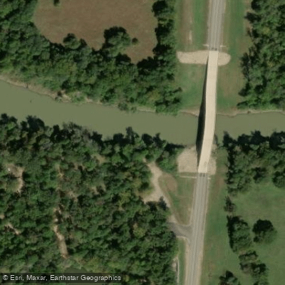
The most popular stretch for paddling is between Clayton and Antlers, offering a scenic 40-mile journey with cold, clear water, long quiet pools, and easy rapids. For whitewater enthusiasts, the 7-mile section above Highway 259 near Big Cedar provides exciting Class II-III boulder-strewn rapids.
While the river can be paddled year-round, spring and early summer typically offer the best water levels. However, paddlers should always check current conditions, as the river can become dangerous during high water periods, especially in the spring.
The Kiamichi River and its surrounding wilderness are home to abundant wildlife and birdlife. Paddlers may spot various species of fish, birds, and mammals along the riverbanks. The area is also known for its diverse plant life, including hardwood forests and unique riverside vegetation. Notable landmarks include the picturesque small waterfalls created by tributary creeks along the riverbanks.
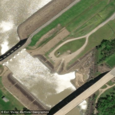
The river passes through several small towns, with Clayton and Antlers serving as popular access points. Hugo Lake, formed by damming the lower part of the river, offers additional recreational opportunities.
Historically, the Kiamichi River played a role in defining county boundaries in the region. Today, it remains an important ecological and recreational resource for southeastern Oklahoma.
Safety considerations include being prepared for remote stretches with limited cell phone coverage, especially in the upper sections. Paddlers should always wear life jackets and be aware of potential strainers and other river hazards.
For those seeking a multi-day adventure, the 40-mile stretch from Clayton to Antlers is ideal, with several access points and camping opportunities along the way. K River Campground, located 8 miles north of Antlers, offers a convenient intermediate stop.
Whether you're seeking a peaceful float through serene pools or an exciting whitewater run, the Kiamichi River offers a memorable paddling experience in one of Oklahoma's most beautiful natural settings.
Curated routes
Hand-picked by the PaddleWays team, with put-ins, take-outs, paddle times and the hazards along the way.
RouteClass I–II
RouteClass I–II
RouteClass II–III
RouteClass I–II
Hazards
No hazards are marked on Kiamichi River yet. That is not the same as none being there: if you find one, report it for the next paddler.
From the community
Nobody has shared a trip on Kiamichi River yet. Paddle it, then tell the next paddler how it went.
See exactly where the public can get on and off the river. Launch points and boat ramps are paired with PaddleWays' public land data so you know where you can legally land.
Public shoreline
9%of the river's shoreline is public
Most of the riverbank is private. Launch, land and camp only at public access points.
Flows, weather and a route-by-route verdict, so you know which stretch of the Kiamichi River is worth paddling today.
All Flow Stations
Live flows, marked hazards and fresh trip reports from paddlers who were just on the water, all in one place.





Every user gets free access to launch points, boat ramps, and public property parcels.
Loading popular cities...
PaddleWays gives you everything you need to plan smarter, paddle better, and own every trip from first launch to takeout.