Curated by PaddleWays
RouteClass I–II
- Distance
- 19.3 mi
- Paddle time
- ~6.5 hrs
- Put-in → take-out
- Broken Bow Lake Access → Bobcat Road Access
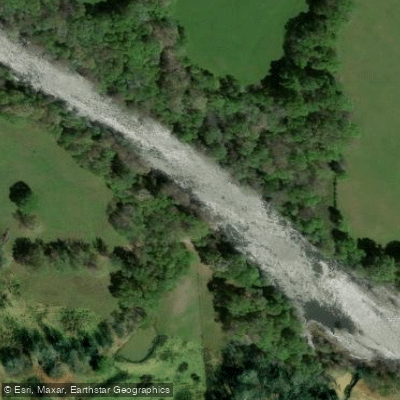
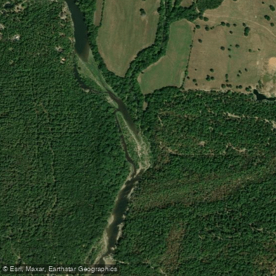
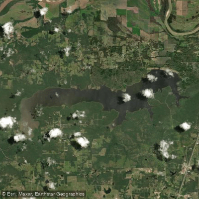
The Mountain Fork River originates in the Ouachita Mountains of southeastern Oklahoma, beginning in Le Flore County before flowing through McCurtain County and briefly touching Polk County, Arkansas. This 98-mile tributary of the Little River flows generally southeastward through rugged, forested terrain before entering Broken Bow Lake, then continues below Broken Bow Dam to its confluence with the Little River near the Oklahoma-Arkansas border.
The river's character changes dramatically at Broken Bow Dam. The Upper Mountain Fork, flowing from near Smithville to the reservoir, offers approximately 31.7 miles of paddling through Class I-II rapids with clear water and excellent smallmouth bass fishing. This section features gravel bars, pine-covered hills, and adequate water levels year-round, making it accessible for intermediate paddlers seeking a wilderness experience.
Below Broken Bow Dam, the Lower Mountain Fork transforms into Oklahoma's premier coldwater fishery. The 18.8-mile tailwater section from the dam to Little River provides consistent flows and is the state's best whitewater stream. The upper portion near Beavers Bend State Park contains Class I-II rapids, including Presbyterian Falls with its notable 4-foot drop. This section requires more technical skill, particularly when flows exceed 1,100 cfs from dam releases. The lower reaches become calmer, suitable for beginners and families.
Spring and fall offer ideal paddling conditions, with cooler temperatures and active fish populations. Summer brings warm weather but the tailwater remains cold year-round due to deep-water dam releases, maintaining temperatures between 65-70°F. Winter paddling continues on the tailwater, though crowds diminish significantly.
The river corridor supports diverse wildlife including white-tailed deer, black bears, bald eagles, and various woodpeckers. The coldwater tailwater sustains regularly stocked rainbow and brown trout, while the upper river holds native smallmouth bass, longear sunfish, and other warmwater species. Bald cypress trees line portions of the lower river, creating distinctive scenery.
Access points include Mountain Fork Park below the Re-Regulation Dam, various locations within Beavers Bend State Park, the Highway 70 bridge near Eagletown, and the Ashilintubbi boat ramp near the Little River confluence. Broken Bow serves as the primary gateway town, with Smithville providing access to the upper river.
The river holds significance for the Choctaw Nation, whose territory historically encompassed this watershed. Broken Bow Lake, created in 1968, fundamentally altered the river's ecology while creating year-round recreational opportunities. Paddlers must monitor dam release schedules, as water levels can rise rapidly without warning. The Oklahoma Department of Wildlife Conservation manages the trout fishery with specific regulations. Multiple commercial outfitters operate on both sections, providing rentals and shuttle services for those unfamiliar with access points.
Curated routes
Hand-picked by the PaddleWays team, with put-ins, take-outs, paddle times and the hazards along the way.
RouteClass I–II
Hazards
No paddler has reported a hazard here yet, so these are the dams, falls and big rapids on our map. Hazards change with flows and storms, so check them before you launch.
From the community
Nobody has shared a trip on Mountain Fork yet. Paddle it, then tell the next paddler how it went.
See exactly where the public can get on and off the river. Launch points and boat ramps are paired with PaddleWays' public land data so you know where you can legally land.
Public shoreline
11%of the river's shoreline is public
Most of the riverbank is private. Launch, land and camp only at public access points.
Flows, weather and a route-by-route verdict, so you know which stretch of the Mountain Fork is worth paddling today.
All Flow Stations
Scheduled releases and generation forecasts from the dams on Mountain Fork.
Mountain Fork River · Below Broken Bow Dam · Southwestern Power Administration
No generation scheduled
Southwestern Power Administration on energy.govForecast updated today at 6:42 PM CST. Schedules can change, so check the operator's page before you go.
Live flows, marked hazards and fresh trip reports from paddlers who were just on the water, all in one place.





Every user gets free access to launch points, boat ramps, and public property parcels.
Loading popular cities...
PaddleWays gives you everything you need to plan smarter, paddle better, and own every trip from first launch to takeout.