Agate Reservoir
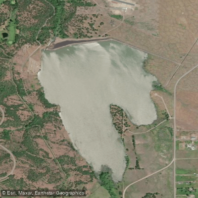
Agate Reservoir
- Boat Ramps
- 1
- Access Points
- 1
- Campsites
- 0
Agate Reservoir is a 216-acre impoundment located 12 miles northeast of Medford, Oregon. Created in 1966 by an earthfill dam on Dry Creek, the lake features three miles of shoreline and offers views of snow-capped Mt. McLoughlin to the east on clear days.
Only electric motors and hand-powered vessels are permitted on the water. A concrete boat ramp on the western shore provides access through Agate Lake County Park, which includes vault toilets and parking facilities. No parking fees are required, and the lake is open year-round during daylight hours.
The lake has an average depth of over 60 feet and maintains fair water quality, though swimming is not advised. The shoreline is part of the unique Agate Desert geological area, featuring various mineral deposits that visitors can view but are prohibited from collecting.
Wildlife watching opportunities center around the fish population, which includes largemouth bass, black crappie, brown bullhead, bluegill, and yellow perch. The lake is stocked annually with rainbow trout, making it a popular destination for anglers.
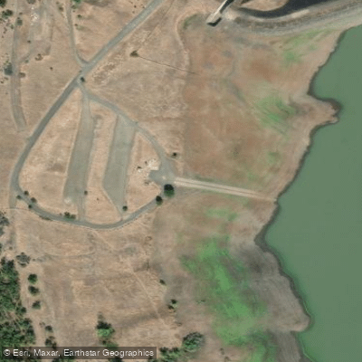
Agate Lake County Park provides basic amenities for paddlers, including CXT vault toilets and the boat launch area. The park's day-use facilities are open year-round during daylight hours, though access times may vary seasonally. At 1,510 feet elevation, the lake sits in an open landscape that offers unobstructed views of the surrounding area.
The reservoir serves multiple purposes beyond recreation, functioning as part of the Rogue River Basin Project under the Bureau of Reclamation. While the lake allows paddling and fishing, its primary role includes water storage and management for the region.
Water access, boat ramps & amenities
Learn how to get on Agate Reservoir. Uncover great paddling access points, boat ramps, and all the facilities you need for an unforgettable day on the water. Some locations shown may border or include private property. Always check property boundaries and applicable regulations before visiting. PaddleWays's Public & Private Land layer can help you plan your access with confidence.
Paddle smarter with real-time insights
Whether you're en route and conditions shift or you're looking for the best spot based on current flows, we enable you to make informed decisions on the fly.








Find Places to Paddle

Over 400,000 Places to Paddle
Every user gets free access to launch points, boat ramps, and public property parcels.


Water and weather conditions (10 day forecast)
See the best times to paddle Agate Reservoir and check the forecast before you go.
Agate Dam and Reservoir near Medford, OR
Paddling near Agate Reservoir
Rogue River

Klamath River
South Umpqua River
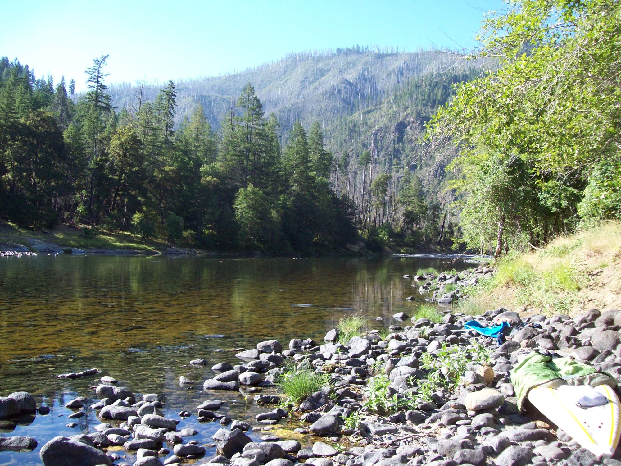
Illinois River
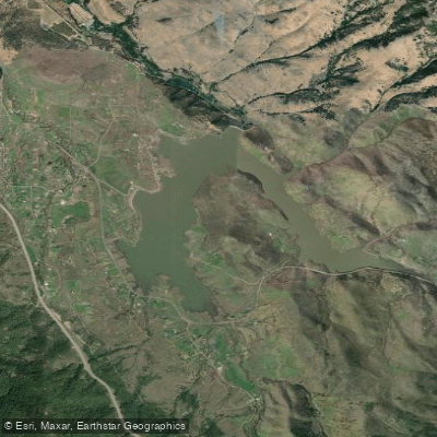
Emigrant Lake
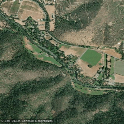
Applegate River
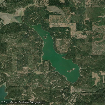
Howard Prairie Lake
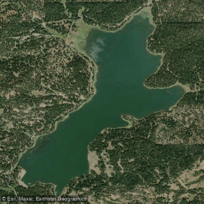
Hyatt Reservoir
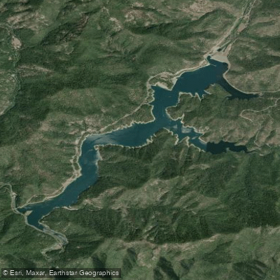
Applegate Lake
Explore Oregon waters
Top paddling waters
Popular Cities
Loading popular cities...
Explore near Agate Reservoir
Access points
Nearby waters
More in Oregon

Smarter Paddling Starts in the App.
Paddleways gives you everything you need to plan smarter, paddle better, and own every trip from first launch to takeout.