South Umpqua River
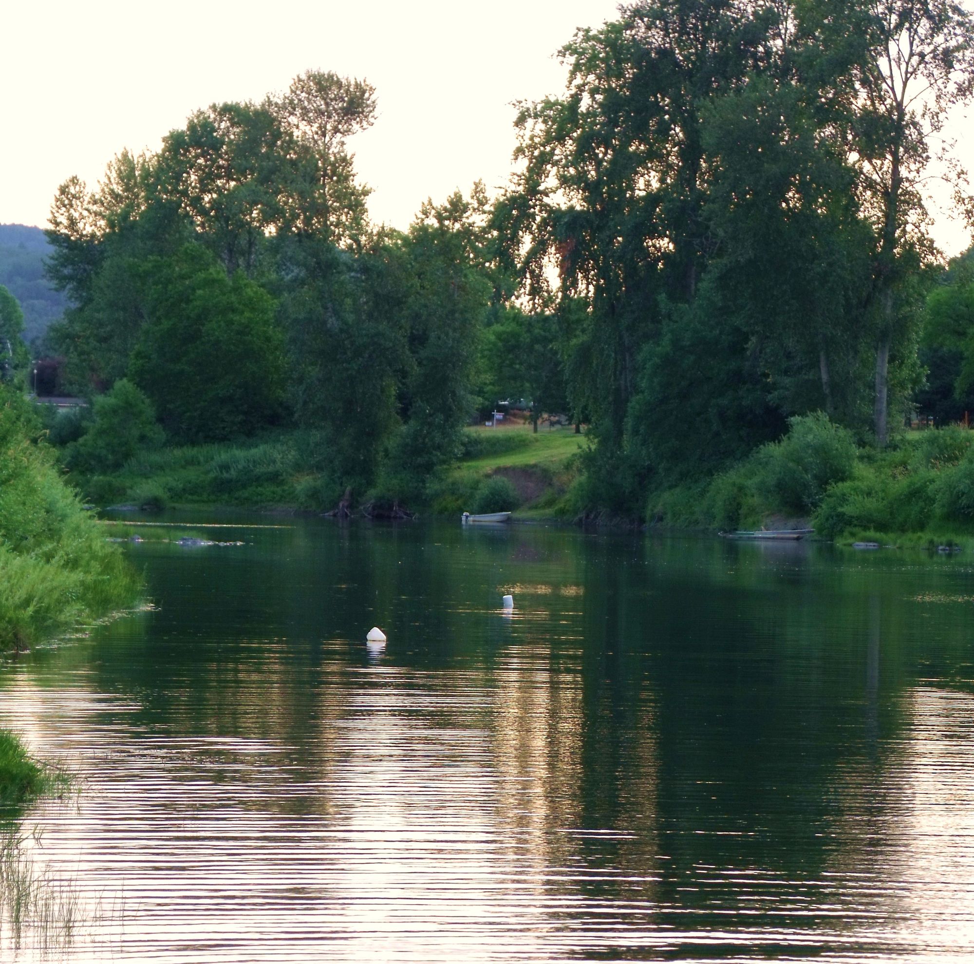
South Umpqua River
- Boat Ramps
- 14
- Access Points
- 18
- Campsites
- 9
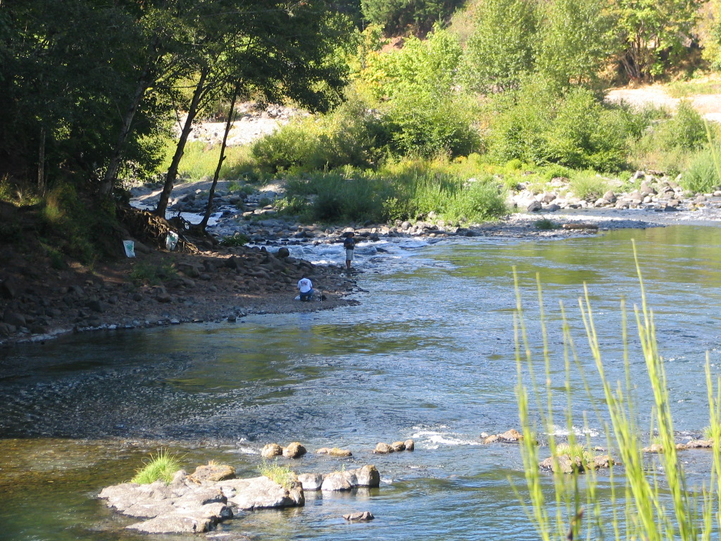
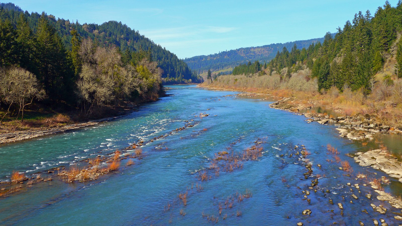
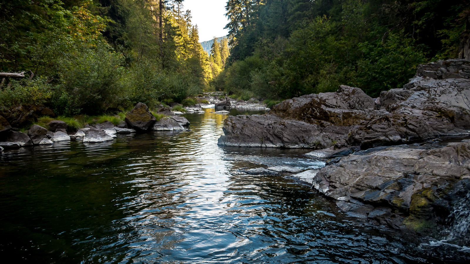
The South Umpqua River is a major waterway in southwestern Oregon, originating in the Cascade Range and flowing northwest for approximately 115 miles before joining the North Umpqua River to form the main stem Umpqua River. The South Umpqua drains a significant portion of the Umpqua National Forest and passes through Douglas County before reaching its confluence near Roseburg. Paddling opportunities on the South Umpqua range from calm floats to challenging whitewater, with difficulty levels spanning Class I to Class V.
The river offers several popular sections for rafting and kayaking, including the scenic Canyonville Park to Lawson Bar run (5 miles, Class II-III), the relaxing Lawson Bar to Myrtle Creek stretch (9 miles, Class I-II), and the more challenging MP 22 to Days Creek section (13.5 miles, Class II-IV). Advanced paddlers can test their skills on the Three Falls Run, featuring multiple significant drops including South Umpqua Falls.
The best paddling season typically runs from late spring through early fall, with water levels and flow rates varying based on snowmelt and rainfall. Spring offers higher water and more challenging conditions, while summer provides warmer temperatures and gentler flows suitable for a wider range of skill levels.
The river corridor supports diverse wildlife, including salmon, steelhead, river otters, and various bird species. The surrounding landscape transitions from dense forests in the upper reaches to more open valleys downstream, showcasing the region's rich biodiversity.
Key landmarks along the South Umpqua include South Umpqua Falls, Campbell Falls, and the town of Canyonville. Access points are available at several locations, with Canyonville, Myrtle Creek, and Roseburg serving as nearby communities for supplies and accommodations.
Historically, the South Umpqua played a crucial role in the development of southern Oregon, supporting Native American communities and later becoming an important transportation route for early settlers and the timber industry.
Safety considerations include checking current water levels and conditions before paddling, as well as being aware of potential hazards such as strainers and rapids. Some sections may require permits or have specific regulations, so paddlers should check with local authorities or the Bureau of Land Management for up-to-date information.
For those seeking a multi-day adventure, it's possible to combine several sections of the South Umpqua or continue onto the main Umpqua River for an extended trip, though careful planning and logistics are required.
Water access, boat ramps & amenities
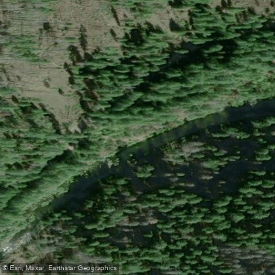
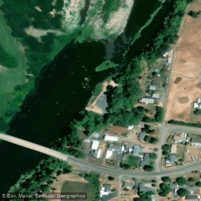
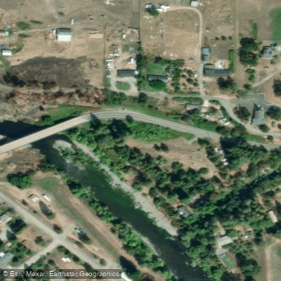
Learn how to get on South Umpqua River. Uncover great paddling access points, boat ramps, and all the facilities you need for an unforgettable day on the water. Some locations shown may border or include private property. Always check property boundaries and applicable regulations before visiting. PaddleWays's Public & Private Land layer can help you plan your access with confidence.
Paddle smarter with real-time insights
Whether you're en route and conditions shift or you're looking for the best spot based on current flows, we enable you to make informed decisions on the fly.








Find Places to Paddle

Over 400,000 Places to Paddle
Every user gets free access to launch points, boat ramps, and public property parcels.


Water and weather conditions (10 day forecast)
See the best times to paddle South Umpqua River and check the forecast before you go.
SOUTH UMPQUA RIVER AT TILLER, OR
All Flow Stations
Paddling near South Umpqua River
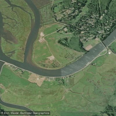
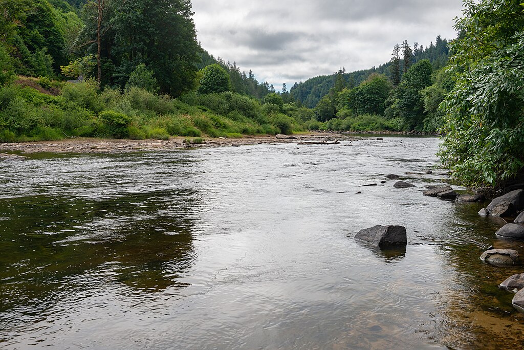
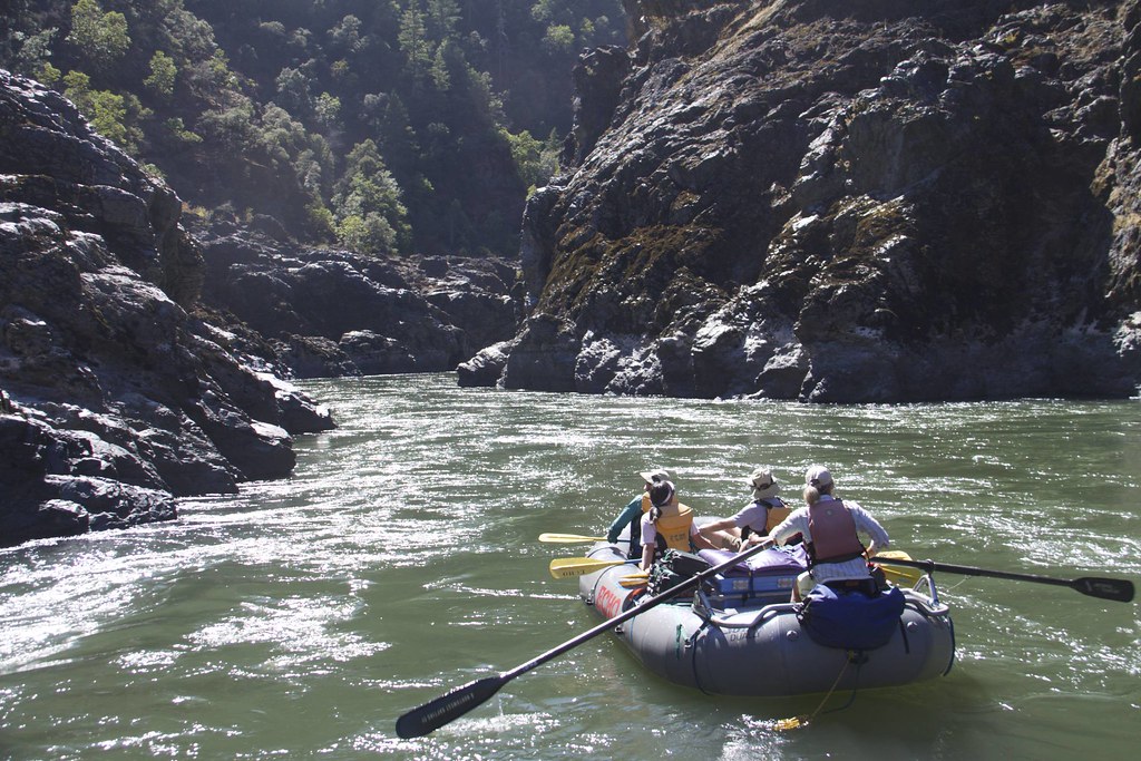
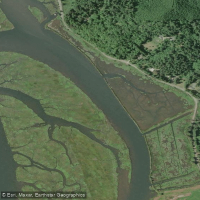
Explore Oregon waters
Top paddling waters
Popular Cities
Loading popular cities...
Explore near South Umpqua River
Access points
- Picket Park Boat Ramp
- Myrtle Creek Boat Ramp
- Lavadoure Boat Ramp
- Milo Boat Ramp
- Stanton Park Boat Ramp
- ODFW Boat Ramp
- Templin Beach Roseburg City Park Boat Ramp
- Sid Nichols Park Boat Ramp
- Umpqua Park Fairgrounds Boat Ramp
- I-5 Ford's Bridge Boat Ramp
- Happy Valley County Park Boat Ramp
- Three C Rock Boat Ramp
- All 118 spots
Nearby waters
More in Oregon

Smarter Paddling Starts in the App.
Paddleways gives you everything you need to plan smarter, paddle better, and own every trip from first launch to takeout.