Brownlee Reservoir
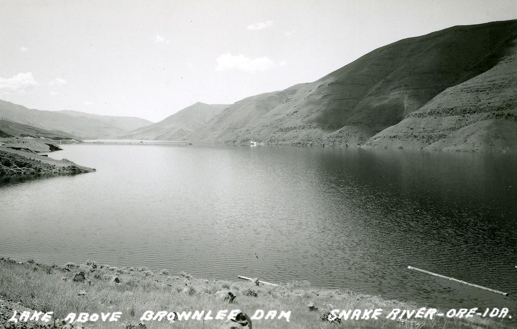
Brownlee Reservoir
- Boat Ramps
- 8
- Access Points
- 8
- Campsites
- 65
Brownlee Reservoir is a 57-mile long impoundment on the Snake River, straddling the Idaho-Oregon border. The reservoir offers opportunities for boating, fishing, and camping, with limited access points. The northern portion can be reached from Cambridge, Idaho by following State Highway 71 northwest for about 25 miles to the Snake River. The southern end is accessible from Weiser, Idaho via Olds Ferry Road, which follows the Snake River to the upper reservoir.
Brownlee is known for its warm water fishery, with healthy populations of smallmouth bass, catfish, and crappie. The reservoir has produced state record catches for flathead catfish, bullhead catfish, white crappie, and black crappie. Other species include perch, bluegill, largemouth bass, and stocked rainbow trout.
Smallmouth bass fishing is particularly popular, best done by boat in areas with gravel bars and rocky outcroppings. Crappie fishing peaks in spring and early summer in calm inlets. Catfishing is most productive in the upper third of the reservoir during summer months and can be done effectively from shore.
The Bureau of Land Management oversees recreation on Brownlee Reservoir. The limited access and large size of the reservoir mean paddlers should be prepared for potentially long distances between put-ins and take-outs. The reservoir's location along the Snake River provides scenic views.
Given its warm water fishery, Brownlee Reservoir is most suitable for paddling in spring, summer, and early fall. Paddlers should be aware that the reservoir is popular for motorized boating and fishing, which may impact the paddling experience.
Water access, boat ramps & amenities
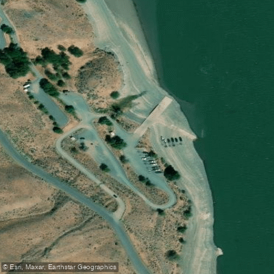
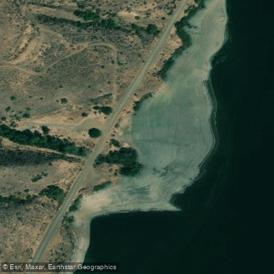
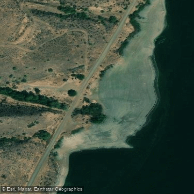
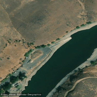
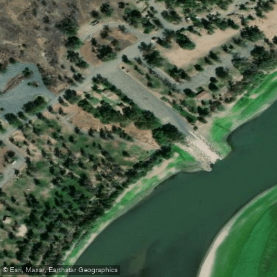
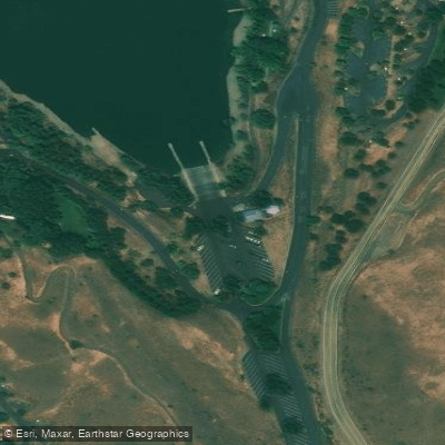
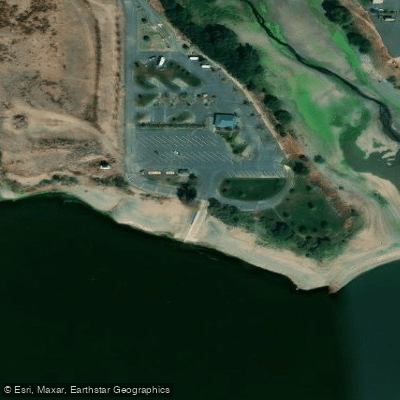
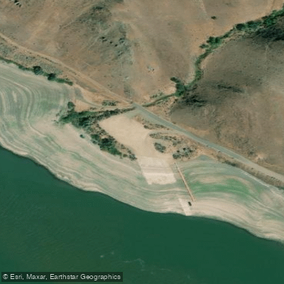
Learn how to get on Brownlee Reservoir. Uncover great paddling access points, boat ramps, and all the facilities you need for an unforgettable day on the water. Some locations shown may border or include private property. Always check property boundaries and applicable regulations before visiting. PaddleWays's Public & Private Land layer can help you plan your access with confidence.
Paddle smarter with real-time insights
Whether you're en route and conditions shift or you're looking for the best spot based on current flows, we enable you to make informed decisions on the fly.








Find Places to Paddle

Over 400,000 Places to Paddle
Every user gets free access to launch points, boat ramps, and public property parcels.


Water and weather conditions (10 day forecast)
See the best times to paddle Brownlee Reservoir and check the forecast before you go.
No forecast data available.
Paddling near Brownlee Reservoir
Boise River
Snake River
Owyhee River
Malheur River
North Fork Payette River
South Fork Payette River
Lake Lowell
Payette River
Lake Owyhee
Explore Oregon waters
Top paddling waters
Popular Cities
Loading popular cities...
Explore near Brownlee Reservoir
Access points
- Spring Recreation Site Boat Ramp
- Swede's Landing Boat Ramp
- Swede's Landing Boat Ramp
- Hewitt Park Boat Ramp
- Farewell Bend Boat Ramp
- Woodhead Park Boat Ramp
- John Noble Holcomb Boat Ramp
- Steck Park Boat Ramp
- Benson Creek Bridge
- Birch Creek Bridge
- Powder R (snake River Rd Bridge
- Burnt Ruprr(snake R Rd) Bridge
- All 87 spots
Nearby waters
More in Oregon

Smarter Paddling Starts in the App.
Paddleways gives you everything you need to plan smarter, paddle better, and own every trip from first launch to takeout.