The Churn
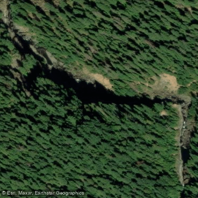
The Churn
Class V- The Churn starts with a large ledge, then enters a bouldery section that seems to change every year.
It can take some time to scout thoroughly and set safety, but it's worth the effort as the ever changing nature of this rapid means hazards are often present. The cause of the dynamic rapid here is a result of the confluence of two geologic formation.
The vertical river-left wall is soft, layered rock that erodes more every year. The right bank is an active landslide with large boulders.
The river marks the boundary between these two different geologic formations, and this location played a significant role in this river being designated as wild and scenic.
While your focus should be on the challenging rapid, try to spend a little time looking around at this compelling location.
More ways to access Collawash River
Explore the wonders of Collawash River! Find excellent paddling spots, easy access to boat ramps, and all the amenities you need for a memorable day by the water. Your adventure starts here.
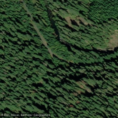
Water and weather conditions (10 day forecast)
Check the forecast at The Churn before you go paddling.
No forecast data available.
Paddling near The Churn
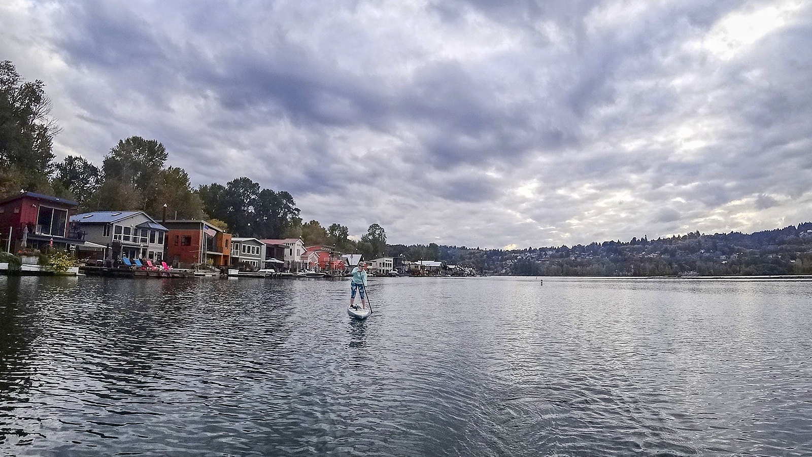
Willamette River
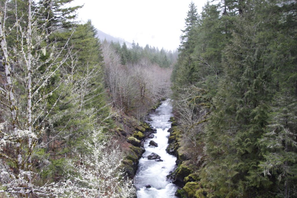
Molalla River
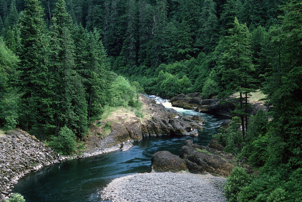
Clackamas River
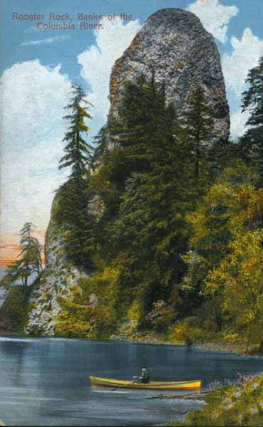
Columbia River
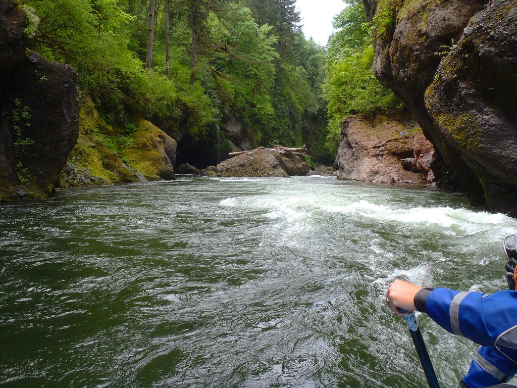
Sandy River
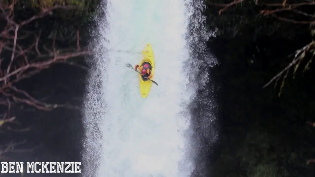
Eagle Creek
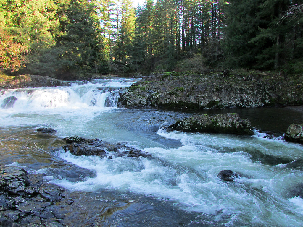
Lewis River
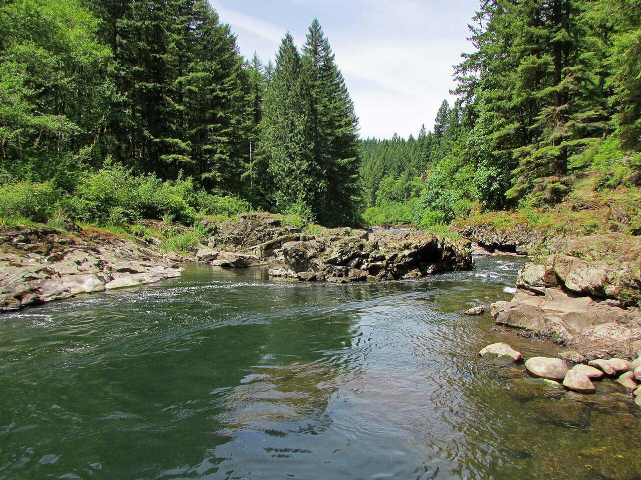
East Fork Lewis River
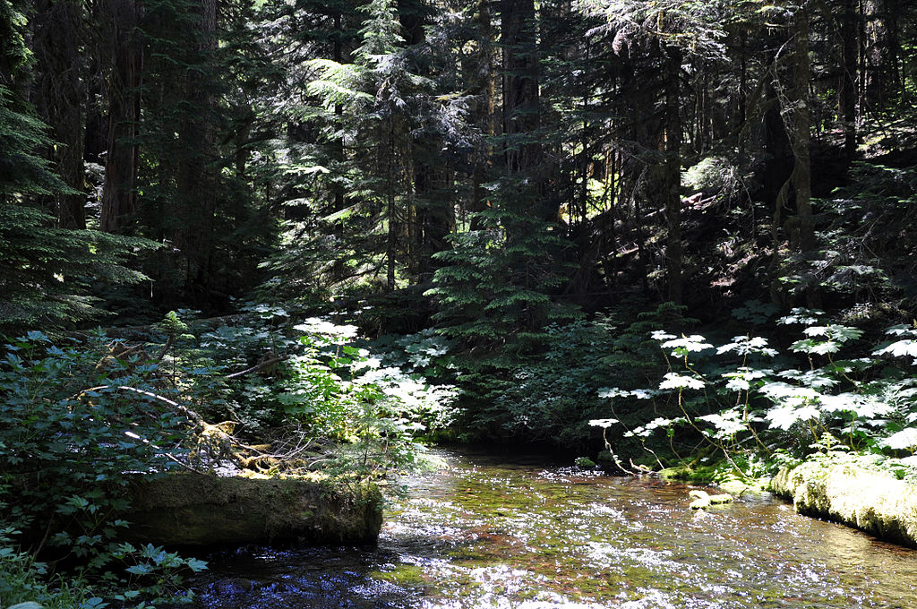
Bull Run River
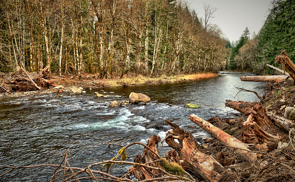
Salmon River
Oregon licenses and regulations
Explore Oregon waters
Top paddling waters
No waters available right now.
Popular Cities
Loading popular cities...
Explore near The Churn

Smarter Paddling Starts in the App.
PaddleWays gives you everything you need to plan smarter, paddle better, and own every trip from first launch to takeout.