Curated by PaddleWays
RouteClass II–III
- Distance
- 9.3 mi
- Paddle time
- ~2.5 hrs
- Put-in → take-out
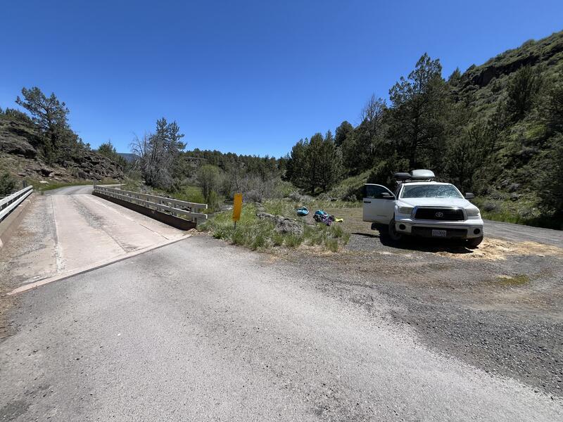
- Indian Springs Access → Page Springs Access
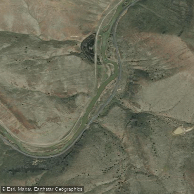
Sharp Bend Rapid may require scouting
The Donner und Blitzen River is a scenic waterway located in the eastern Oregon high desert, originating in the Steens Mountains and flowing northward towards the Malheur National Wildlife Refuge. This Wild and Scenic River system encompasses 87.5 miles of designated waterways, including several spring-fed tributaries such as the South Fork Blitzen River, Little Blitzen River, Big Indian Creek, Little Indian Creek, Fish Creek, Mud Creek, and Ankle Creek.
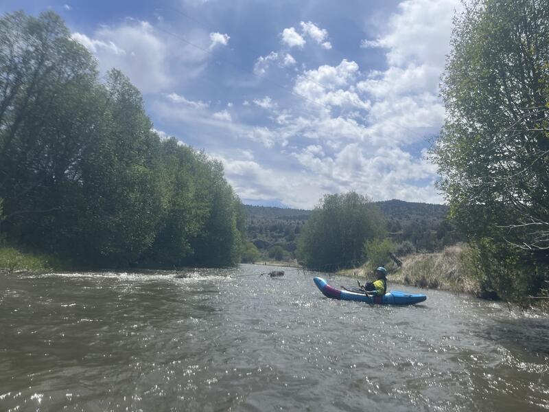
The primary paddling section runs 17 miles from Indian Creek to Page Springs, offering a mix of Class II-III rapids that challenge intermediate paddlers. The put-in at Page Springs, where the Steens Mountain Loop crosses the river, provides easy access to this popular run. At mile 3.6, the Little Blitzen River joins from river right, increasing the flow by about 50% and potentially altering the river's character. Paddling opportunities are typically limited to spring when snowmelt provides sufficient water levels. Late March to early May is often the ideal window for running this desert gem. The river's flow can be unpredictable, so paddlers should check water levels and weather forecasts before planning their trip.
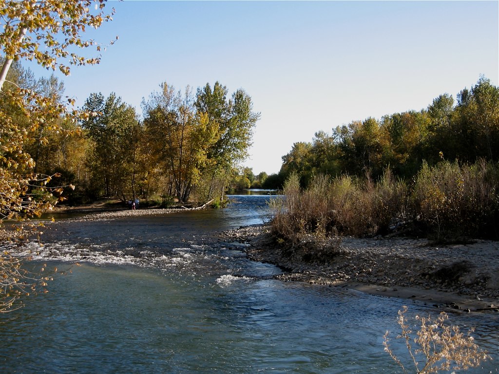
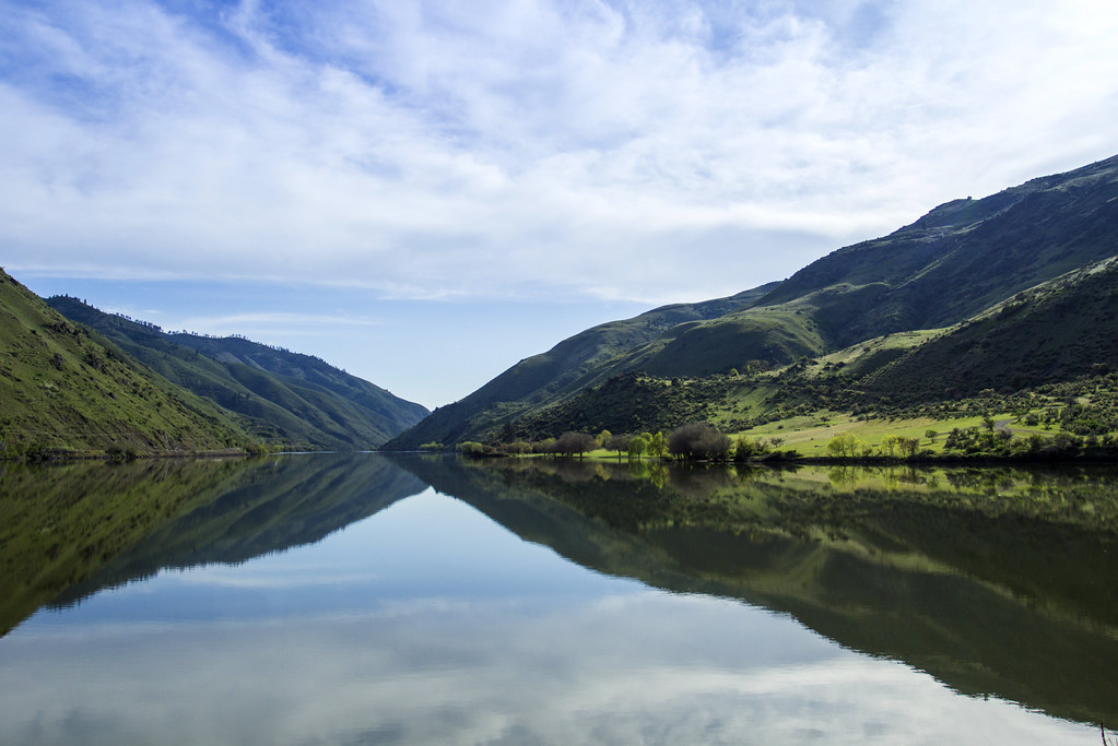
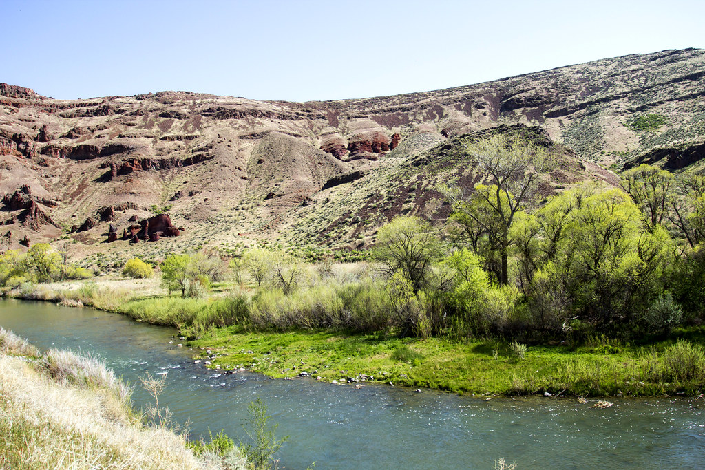
The Donner und Blitzen River flows through a diverse landscape, showcasing the beauty of Oregon's high desert. Paddlers may encounter wildlife such as pronghorn antelope, bighorn sheep, and various bird species. The river supports several fish species, including redband trout, mountain whitefish, longnose dace, and mottled sculpin. Notable features along the run include the Sharp Bend Rapid, which may require scouting. The surrounding landscape offers stunning views of the Steens Mountains and the expansive desert terrain.
Paddlers should be prepared for remote conditions and carry appropriate safety equipment. Access to the river is primarily through the small town of Frenchglen, located near the southern end of the Malheur National Wildlife Refuge. The take-out at Indian Creek is accessible via gravel roads, and shuttles can be arranged through local outfitters.
The Donner und Blitzen River holds cultural significance for Native American tribes and played a role in the region's ranching history. Today, it's part of the Oregon Desert Trail, offering a unique water alternative for adventurers exploring the state's arid landscapes. While most paddlers complete the run in a single day, multi-day trips are possible for those wanting to fully immerse themselves in the remote desert environment. Overnight camping requires adherence to Leave No Trace principles and awareness of fire restrictions during dry seasons.
Paddlers should be self-sufficient and prepared for the challenges of a desert river environment, including rapid temperature changes and limited cell phone coverage. As a Wild and Scenic River, special regulations may apply to protect the river's outstanding natural values.
Curated routes
Hand-picked by the PaddleWays team, with put-ins, take-outs, paddle times and the hazards along the way.
RouteClass II–III
Hazards
No hazards are marked on Donner und Blitzen River yet. That is not the same as none being there: if you find one, report it for the next paddler.
From the community
Nobody has shared a trip on Donner und Blitzen River yet. Paddle it, then tell the next paddler how it went.
See exactly where the public can get on and off the river. Launch points and boat ramps are paired with PaddleWays' public land data so you know where you can legally land.
Public shoreline
36%of the river's shoreline is public
Most of the riverbank is private. Launch, land and camp only at public access points.
Flows, weather and a route-by-route verdict, so you know which stretch of the Donner und Blitzen River is worth paddling today.
All Flow Stations
Live flows, marked hazards and fresh trip reports from paddlers who were just on the water, all in one place.





Every user gets free access to launch points, boat ramps, and public property parcels.
Loading popular cities...
PaddleWays gives you everything you need to plan smarter, paddle better, and own every trip from first launch to takeout.