Curated by PaddleWays
RouteClass IV
- Distance
- 1.6 mi
- Paddle time
- ~0.5 hrs
- Best for
- Kayak
- Put-in → take-out
- Put In → Take Out
Class V at high water with holes and wood
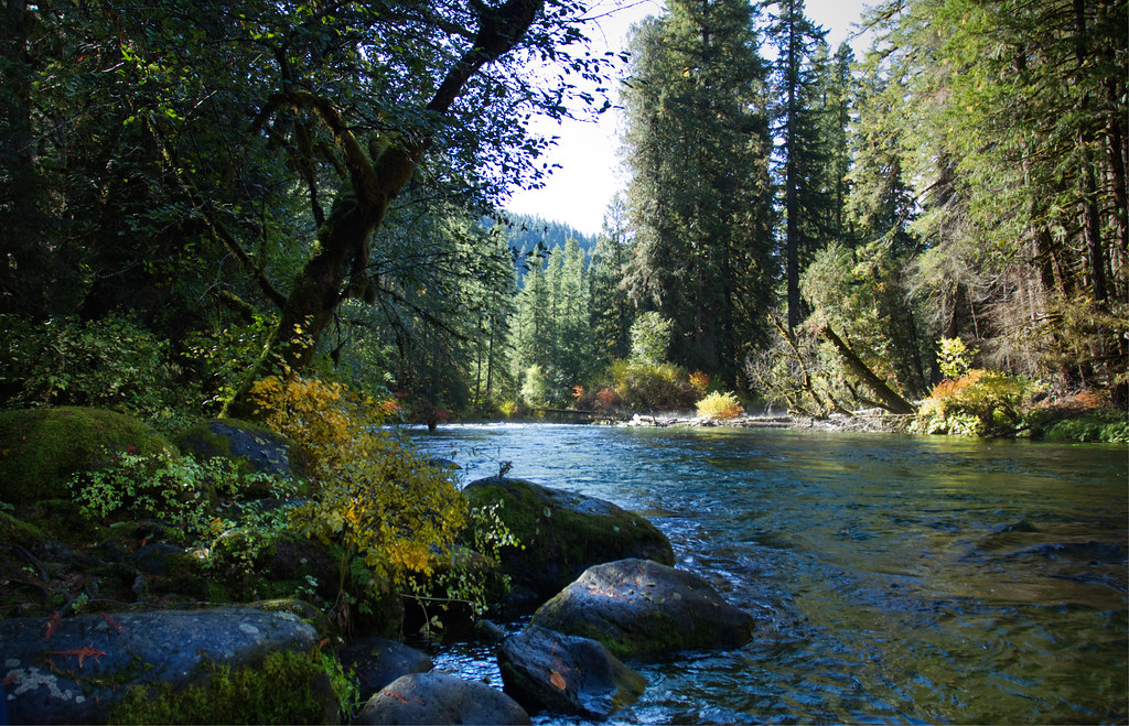
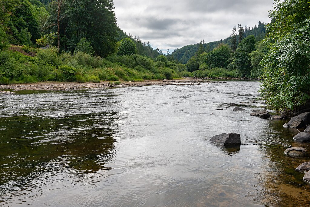
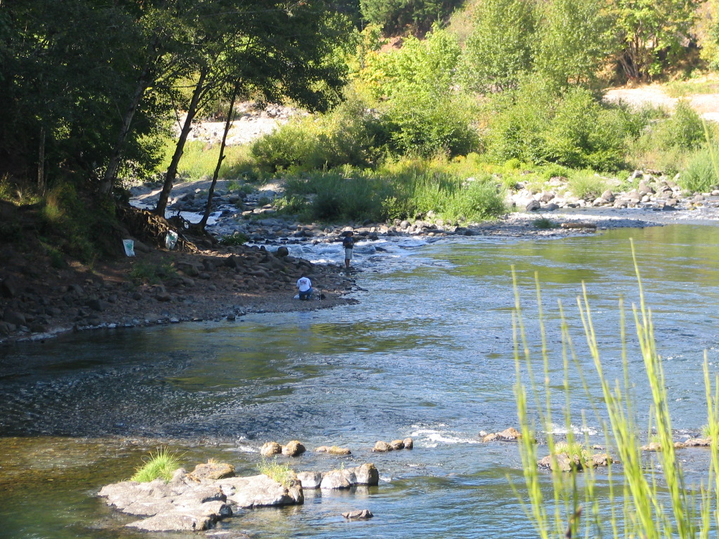
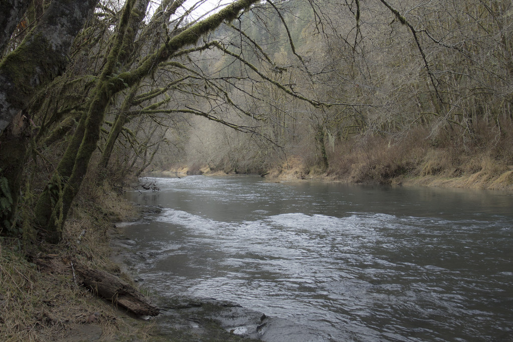
Lake Creek originates near Prairie Mountain in the Central Oregon Coast Range, close to the border of Lane and Benton counties. This tributary of the Siuslaw River flows approximately 40 miles through the Siuslaw National Forest and small communities including Horton, Blachly, Triangle Lake, Greenleaf, and Deadwood before joining the Siuslaw River at Swisshome, roughly 29 miles from the Pacific Ocean. The creek contributes about one-third of the water to the lower Siuslaw River, making it a significant watershed component. Oregon Route 36 parallels much of the creek from Blachly to Swisshome, providing convenient access. The historic Lake Creek Covered Bridge (also known as Nelson Mountain Bridge) spans the creek near Greenleaf, listed on the National Register of Historic Places since 1979.
Paddling opportunities on Lake Creek center on the lower section from Deadwood Creek to the Siuslaw River confluence. This 5.5-mile stretch offers Class II-IV whitewater depending on flow levels, with rapids including "The Horn" and "Bus Stop." The run features technical challenges with big waves and rocks, plus an underwater structure that poses hazards at low water. This section is best suited for experienced kayakers comfortable with continuous whitewater and potential wood hazards. Flows are typically adequate during winter and spring runoff periods, with the creek becoming too low for navigation during summer months.
The BLM-managed Lake Creek Falls recreation site, located downstream from Triangle Lake, features natural bedrock cascades and slides carved into a narrow gorge. These "slippery rock slides" create a popular swimming area during summer, though they're not navigable by watercraft. The site includes a fish ladder constructed in 1989 that opened 110 miles of upstream habitat for steelhead, coho, and chinook salmon.
Lake Creek supports runs of native fish including steelhead, chinook salmon, and cutthroat trout. The surrounding old-growth forest provides habitat for Roosevelt elk, black-tailed deer, and various bird species. The watershed's forested character contributes to excellent water quality, though the creek does warm during summer months.
Access points include the Deadwood Creek area for the whitewater section and multiple locations along Highway 36. The nearest significant town is Corvallis, approximately 30 miles east. Triangle Lake, a popular recreational destination for boating and fishing, sits along the creek's course. Paddlers should note that Lake Creek flows through remote terrain with limited road access in upper sections. Wood hazards are common and conditions change seasonally. All fishing is restricted to artificial flies and lures above tidewater through August 31, and specific regulations apply to different fish species and seasons.
Curated routes
Hand-picked by the PaddleWays team, with put-ins, take-outs, paddle times and the hazards along the way.
RouteClass IV
RouteClass II–IV
Hazards
No paddler has reported a hazard here yet, so these are the dams, falls and big rapids on our map. Hazards change with flows and storms, so check them before you launch.
Rapid · Class IV
Class IV+ This is a good one to scout from the right bank, the bottom is trickier than it first appears.
Rapid · Class V
Class V- The hardest rapid is also the first of the three major rapids. After a couple easy warm up slides comes lake creek falls.
From the community
Nobody has shared a trip on Lake Creek yet. Paddle it, then tell the next paddler how it went.
See exactly where the public can get on and off the river. Launch points and boat ramps are paired with PaddleWays' public land data so you know where you can legally land.
Public shoreline
18%of the river's shoreline is public
Most of the riverbank is private. Launch, land and camp only at public access points.
Flows, weather and a route-by-route verdict, so you know which stretch of the Lake Creek is worth paddling today.
Live flows, marked hazards and fresh trip reports from paddlers who were just on the water, all in one place.





Every user gets free access to launch points, boat ramps, and public property parcels.
Loading popular cities...
PaddleWays gives you everything you need to plan smarter, paddle better, and own every trip from first launch to takeout.