Paulina Lake
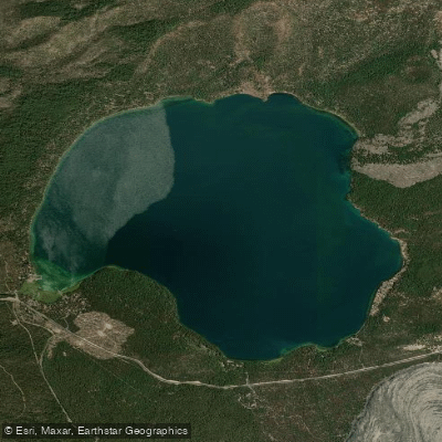
Paulina Lake
- Boat Ramps
- 3
- Access Points
- 3
- Campsites
- 7
Paulina Lake is a 7-mile long, 2-mile wide crater lake located in the Newberry National Volcanic Monument near Bend, Oregon. At an elevation of 6,377 feet, the lake reaches depths of 250 feet and is known for its unique turquoise color due to underground hot springs.
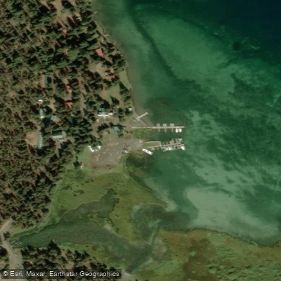
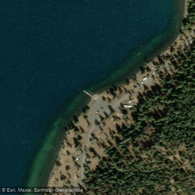
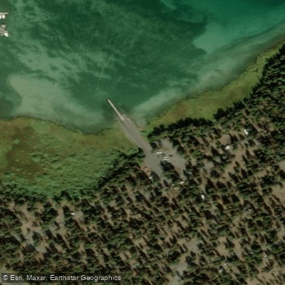
Paddlers can access the lake via boat ramps at Paulina Lake Campground, Little Crater Campground, and Paulina Lake Lodge. Kayak and canoe rentals are available at the lodge. The lake allows motorized boats, so paddlers should be aware of boat traffic and wakes. Wind can create choppy conditions, especially for beginners.
The best time to paddle is during summer months from June through August when daytime temperatures range from 60-80°F. Water temperatures are chilly year-round. Bug spray is recommended, particularly for mosquitoes in early summer.
Notable sights include views of surrounding Cascade peaks, ponderosa pine forests, and obsidian formations along the shoreline. Wildlife spotting opportunities include bald eagles, elk, and various fish species. Natural hot springs on the northeast shore can be accessed by paddling or hiking.
Fishing is popular, with the lake stocked with rainbow trout, brown trout, and kokanee salmon. A valid Oregon fishing license is required. The lake holds the state record for brown trout at 29 pounds.
Paddlers should be prepared for quickly changing weather conditions at this high elevation. Thunderstorms can develop suddenly in summer. Facilities include fish cleaning stations at the marina and lodge. The 7.5 mile Paulina Lakeshore Loop trail circles the lake for those interested in hiking.
Water access, boat ramps & amenities
Learn how to get on Paulina Lake. Uncover great paddling access points, boat ramps, and all the facilities you need for an unforgettable day on the water. Some locations shown may border or include private property. Always check property boundaries and applicable regulations before visiting. PaddleWays's Public & Private Land layer can help you plan your access with confidence.
Paddle smarter with real-time insights
Whether you're en route and conditions shift or you're looking for the best spot based on current flows, we enable you to make informed decisions on the fly.








Find Places to Paddle

Over 400,000 Places to Paddle
Every user gets free access to launch points, boat ramps, and public property parcels.


Water and weather conditions (10 day forecast)
See the best times to paddle Paulina Lake and check the forecast before you go.
No forecast data available.
Paddling near Paulina Lake
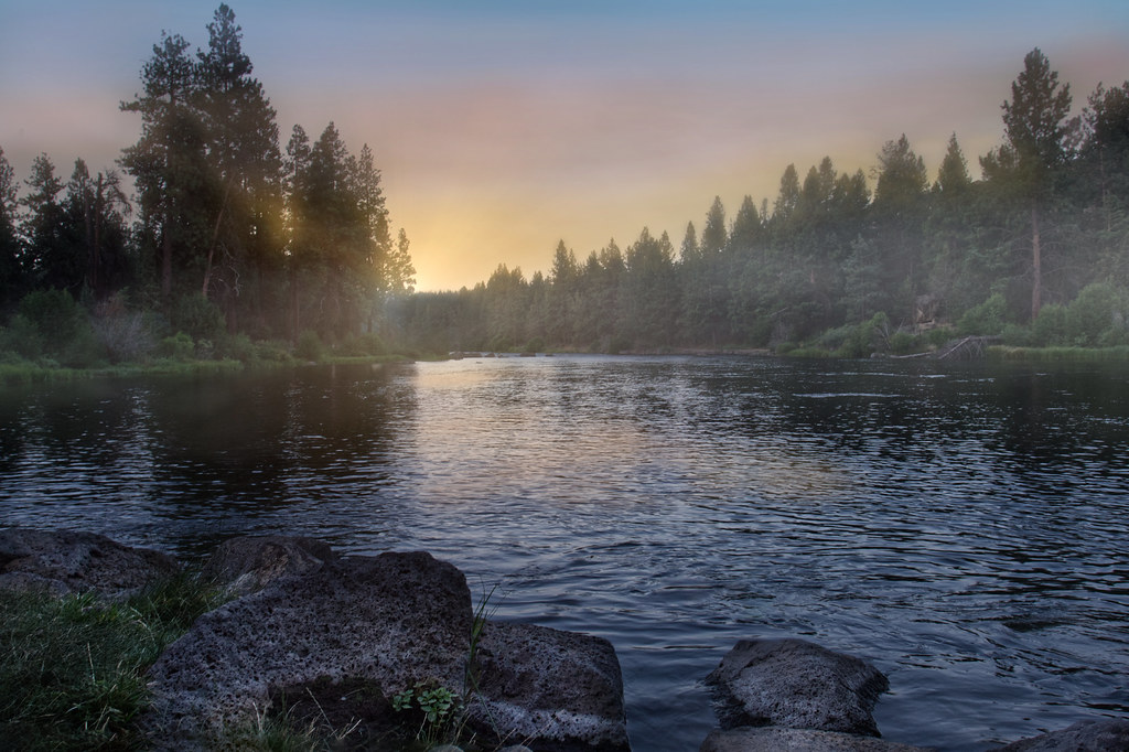
Deschutes River
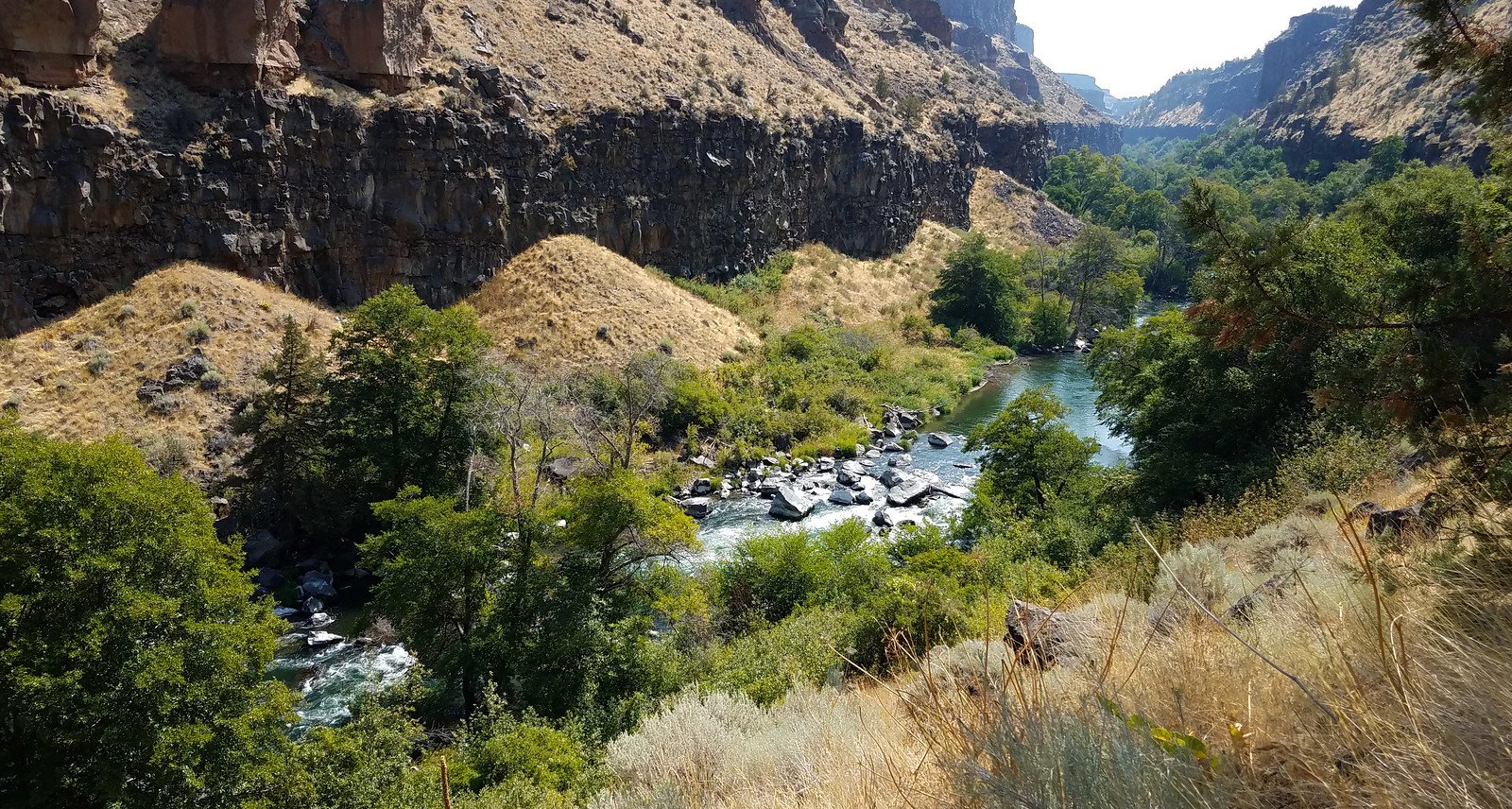
Crooked River
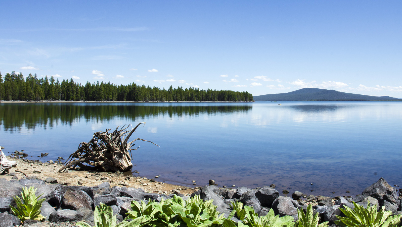
Wickiup Reservoir
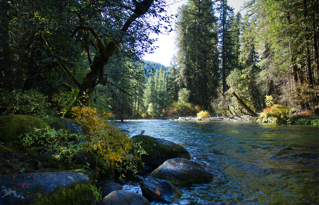
McKenzie River
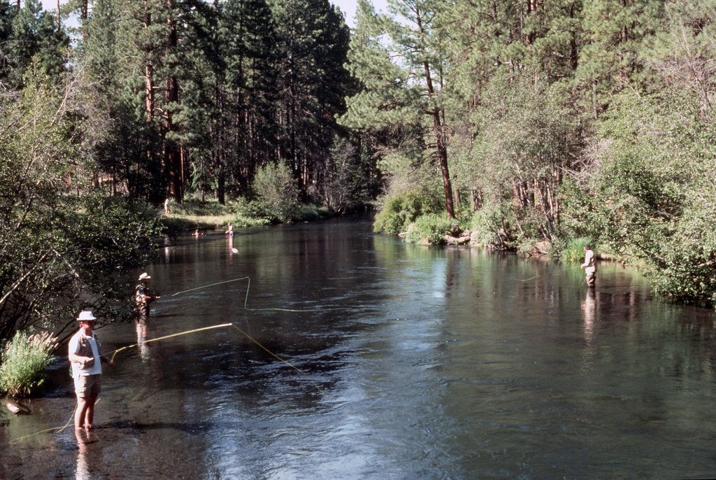
Metolius River
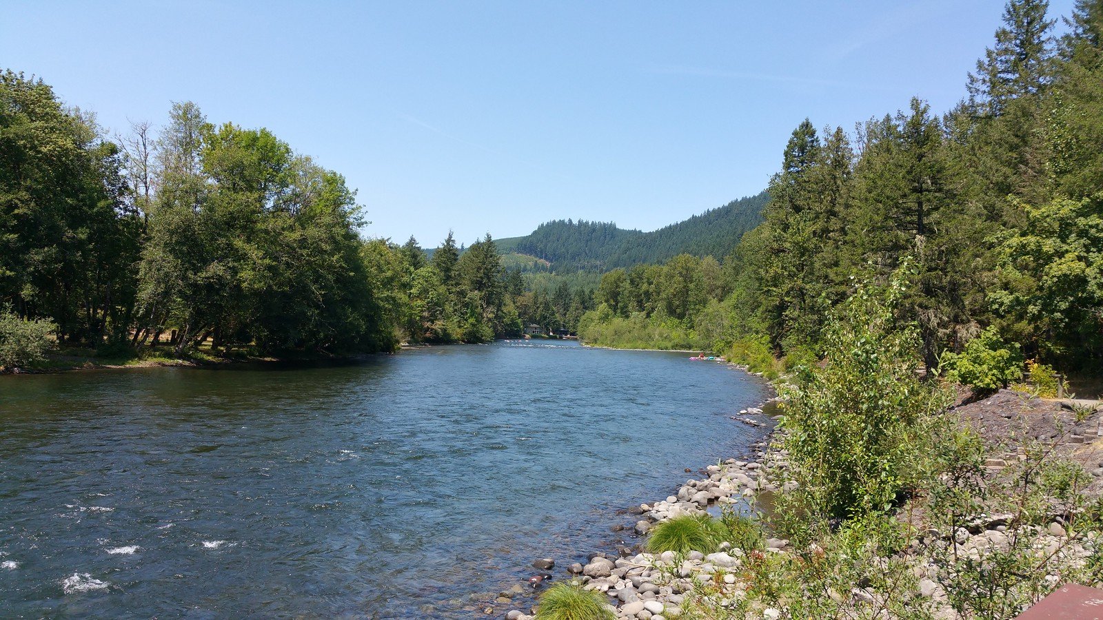
North Santiam River
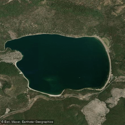
East Lake
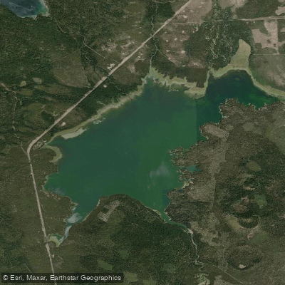
Crane Prairie Reservoir
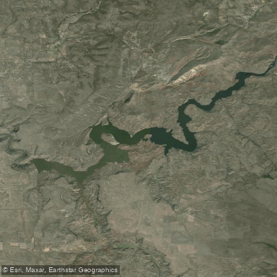
Prineville Reservoir
Explore Oregon waters
Top paddling waters
Popular Cities
Loading popular cities...
Explore near Paulina Lake
Access points
Nearby waters
More in Oregon

Smarter Paddling Starts in the App.
Paddleways gives you everything you need to plan smarter, paddle better, and own every trip from first launch to takeout.