North Santiam River
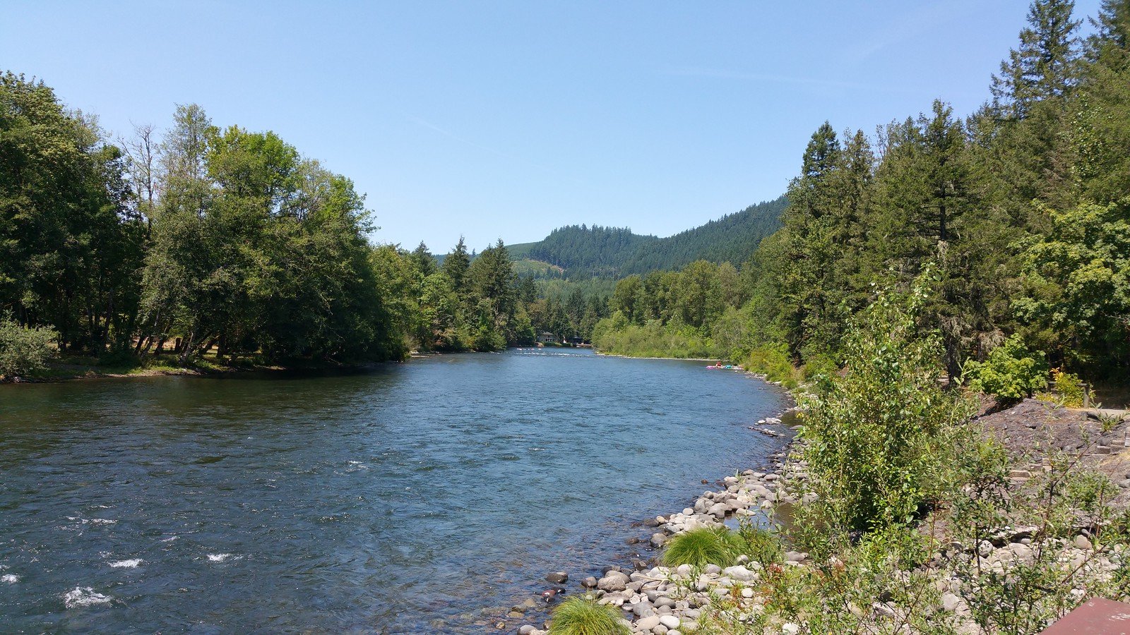
North Santiam River
- Boat Ramps
- 14
- Access Points
- 22
- Campsites
- 21
The North Santiam River is a waterway in western Oregon, originating high in the Cascade Mountains near Mount Jefferson and flowing westward through lush forests before joining the main Santiam River. This 92-mile tributary offers paddlers a range of experiences, from challenging whitewater in its upper reaches to more relaxed floats in its lower sections.
The river can be divided into several distinct paddling sections, each with its own character. The upper reaches, including the Niagara Section and the Little North Santiam (Opal Creek), offer expert kayakers thrilling Class IV-V rapids amidst stunning old-growth forests. The Packsaddle to Mill City stretch is a popular run featuring Class II-III rapids, making it ideal for intermediate paddlers and rafters.
Below Mill City, the river gradually mellows, with the sections from Fishermen's Bend to Jefferson providing Class II rapids and scenic floats suitable for less experienced paddlers and families. Water levels are generally most favorable from late spring through early fall, with summer being the peak season for recreational paddling. However, the river's flow is regulated by upstream dams, allowing for more consistent paddling opportunities year-round compared to many other Oregon rivers. Spring trips may require wetsuits due to cooler water temperatures.
The North Santiam's ecosystem supports a rich variety of wildlife, including salmon and steelhead, which use the river as a critical spawning habitat. The surrounding landscape features a mix of Douglas firs, vine maples, and other native vegetation typical of Oregon's western valleys and Cascade foothills.
Notable landmarks along the river include Big Cliff Dam, the put-in for the challenging Niagara Section, and Mill City Falls, a significant rapid just below the town of Mill City. The river passes through or near several small communities, including Lyons, Mehama, and Mill City, which serve as convenient access points and resupply stops for paddlers.
Historically, the North Santiam River valley was home to the Santiam Kalapuya people. Today, the river plays a crucial role in the region's water supply, providing drinking water to Salem, Oregon's capital city.
Safety considerations are paramount on the North Santiam, particularly in its more challenging upper sections. Paddlers should be aware of their skill level and choose appropriate sections of the river. The presence of dams upstream means water levels can change quickly, and paddlers should check current flow information before their trip.
While most paddling trips on the North Santiam are day excursions, multi-day trips are possible by combining several sections, such as starting at Packsaddle Park and taking out at Jefferson or beyond. These longer journeys allow paddlers to experience the river's changing character from lively whitewater to more tranquil flows.
The North Santiam River offers something for almost every type of paddler, from adrenaline-seeking experts to families looking for a peaceful float. Its accessibility from major population centers like Salem and Portland, combined with its scenic beauty and diverse paddling options, make it one of Oregon's premier paddling destinations.
Water access, boat ramps & amenities
Learn how to get on North Santiam River. Uncover great paddling access points, boat ramps, and all the facilities you need for an unforgettable day on the water. Some locations shown may border or include private property. Always check property boundaries and applicable regulations before visiting. PaddleWays's Public & Private Land layer can help you plan your access with confidence.
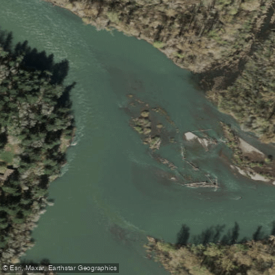
North Santiam Confluence Access
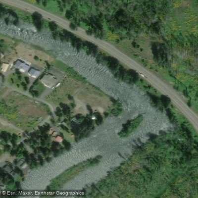
Shoreline Dr. Access
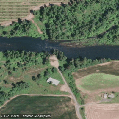
Buell-Miller County Park Access
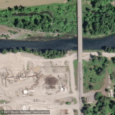
Stayton Bridge Access
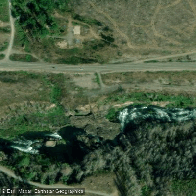
Niagara County Park Access
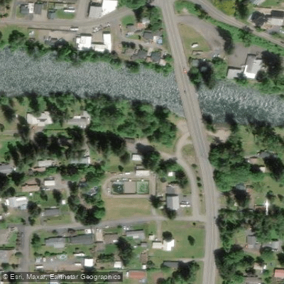
Lyons-Mehama County Park Access
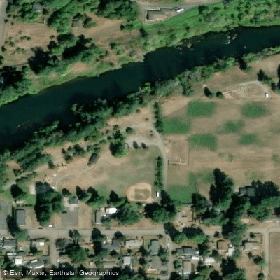
Kimmel Park Access
Riverside at Detroit Campground
Paddle smarter with real-time insights
Whether you're en route and conditions shift or you're looking for the best spot based on current flows, we enable you to make informed decisions on the fly.








Find Places to Paddle

Over 400,000 Places to Paddle
Every user gets free access to launch points, boat ramps, and public property parcels.


Water and weather conditions (10 day forecast)
See the best times to paddle North Santiam River and check the forecast before you go.
NO SANTIAM R BLW BOULDER CRK, NR DETROIT, OR
All Flow Stations
Paddling near North Santiam River
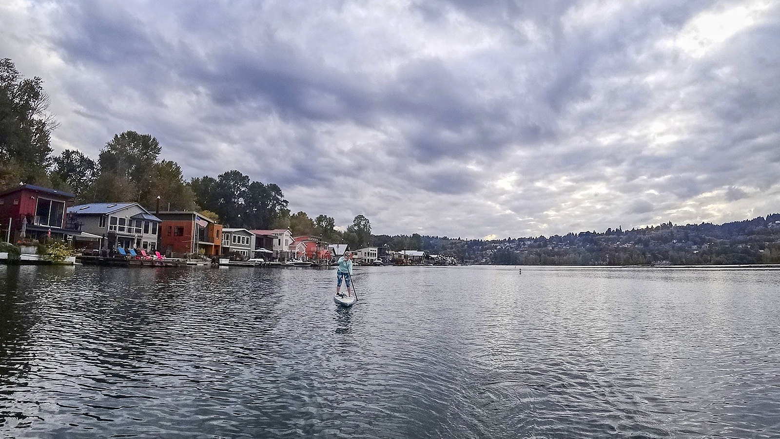
Willamette River
Columbia River
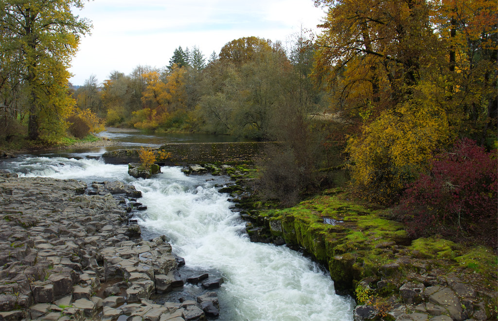
Thomas Creek
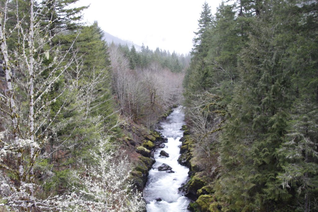
Molalla River
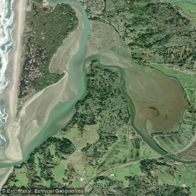
Nestucca Bay
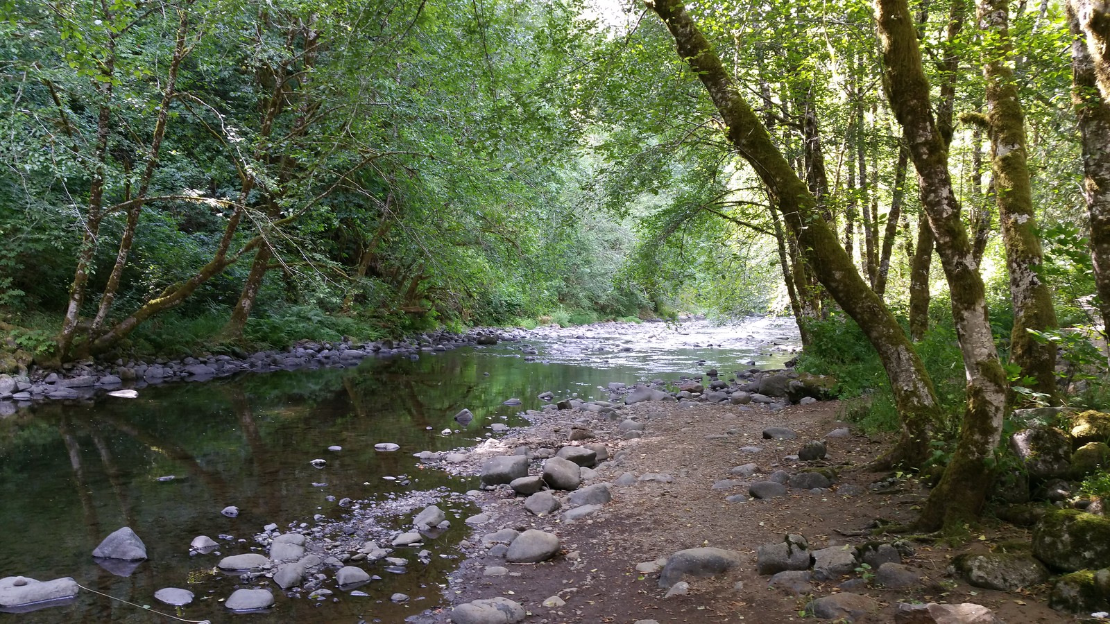
Nestucca River
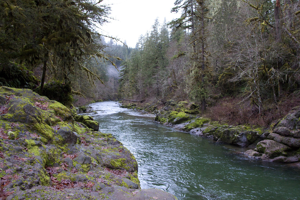
Little North Santiam River
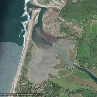
Siletz Bay
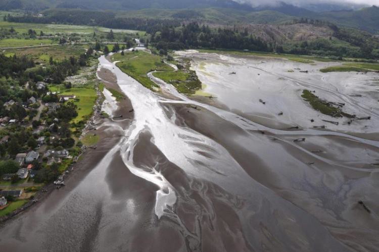
Siletz River
Explore Oregon waters
Top paddling waters
Popular Cities
Loading popular cities...
Explore near North Santiam River
Access points
- North Santiam Put-In
- Fisherman's Bend Boat Ramp
- Big Cliff Boat Ramp
- Stayton Bridge Boat Ramp
- Buell-Miller County Park Boat Ramp
- Packsaddle County Park Boat Ramp
- 7th Street City Boat Launch
- John Neal Memorial County Park Boat Ramp
- Lyons-Mehama County Park Boat Ramp
- Kimmel City Park Boat Ramp
- Mill City Boat Ramp
- North Santiam Park Boat Ramp
- All 148 spots
Nearby waters
More in Oregon

Smarter Paddling Starts in the App.
Paddleways gives you everything you need to plan smarter, paddle better, and own every trip from first launch to takeout.