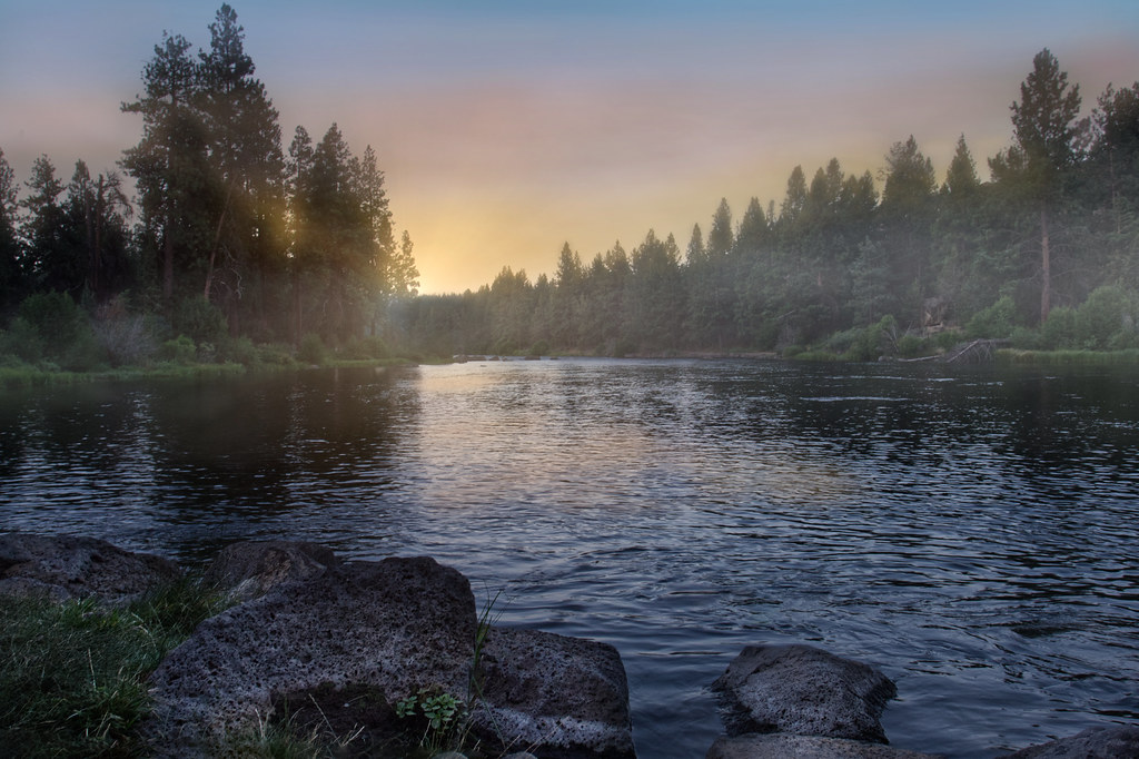


Lower Deschutes boater pass
Pelton Dam to the Columbia
Boater pass · All boaters · Required year-round
Anyone floating the Lower Deschutes needs a boater pass for the segments and dates of the trip.
Checked Nov 4, 2026 with BLM Prineville District
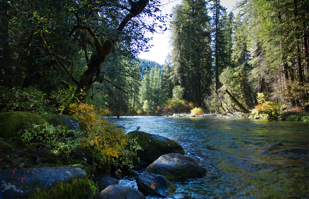
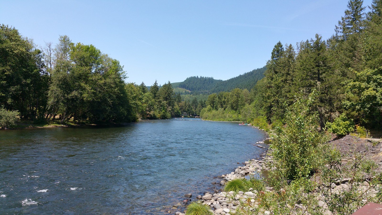
The Deschutes River is a major waterway in central Oregon, flowing northward for over 250 miles from its headwaters near the Cascade Range to its confluence with the Columbia River. This scenic river offers a diverse range of paddling experiences, from placid flatwater sections to challenging whitewater rapids, making it a premier destination for river enthusiasts of all skill levels.
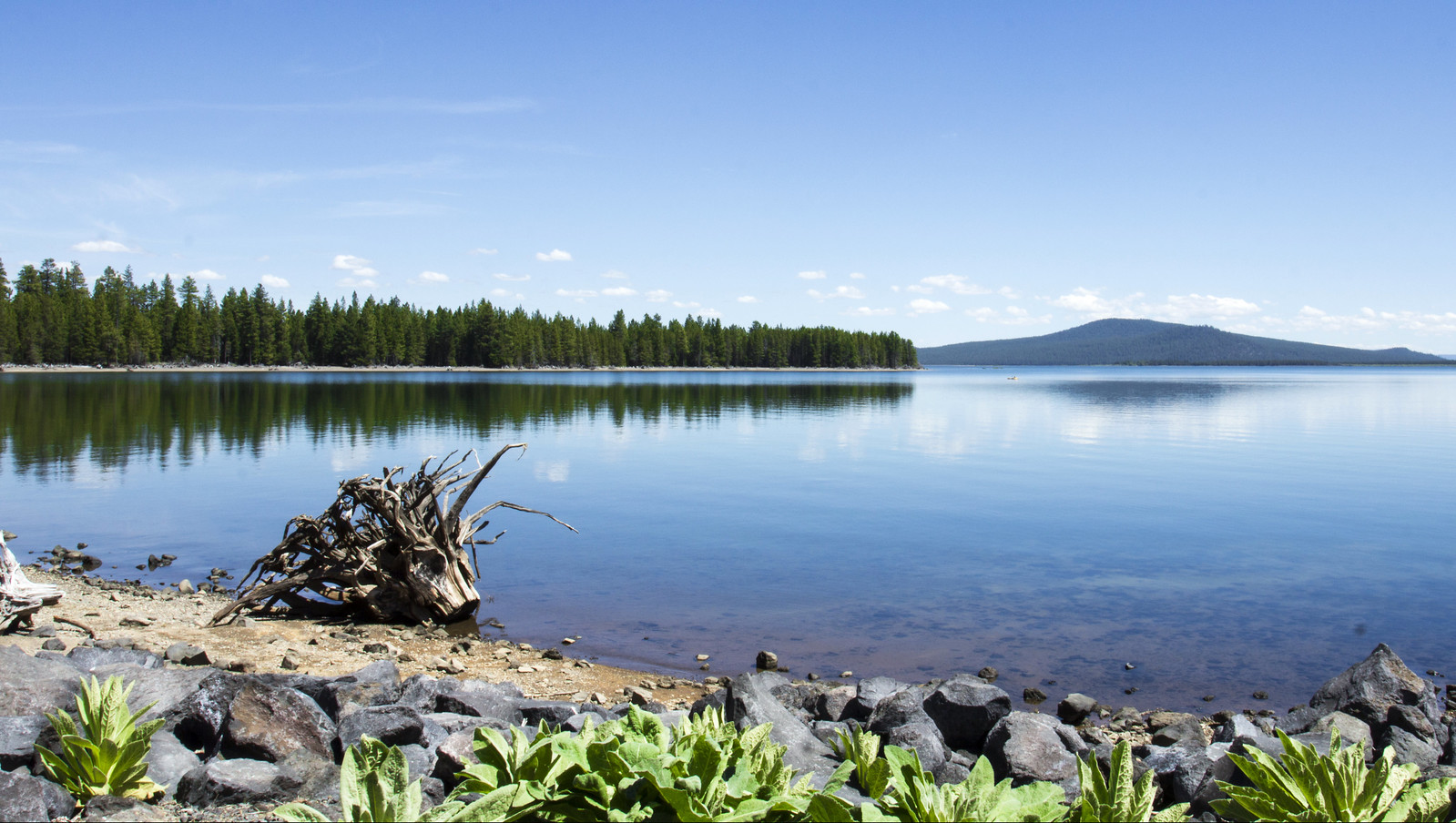
The Upper Deschutes, stretching from Wickiup Reservoir to Bend, is characterized by gentle flows and stunning high desert scenery. This section is ideal for beginners and families, with popular float trips near Sunriver offering easy access and beautiful views. The stretch from Big River Campground to Benham Falls is particularly scenic, winding through pine forests and past rustic cabins.
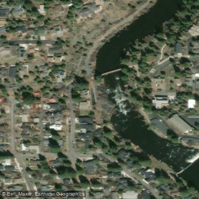
As the river approaches Bend, it transforms into a more dynamic waterway. The section from Benham Falls to Bend features a series of challenging rapids, including the Class IV+ Benham Falls and Dillon Falls. This area is a playground for experienced whitewater kayakers and rafters, especially during the shoulder seasons when flows are optimal. The Bend Whitewater Park, located in the heart of the city, provides a unique urban paddling experience with its engineered channels catering to different skill levels. Downstream from Bend, the Riverhouse Run offers exciting Class III-IV rapids, popular among local paddlers.
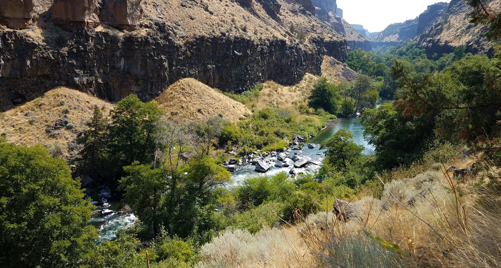
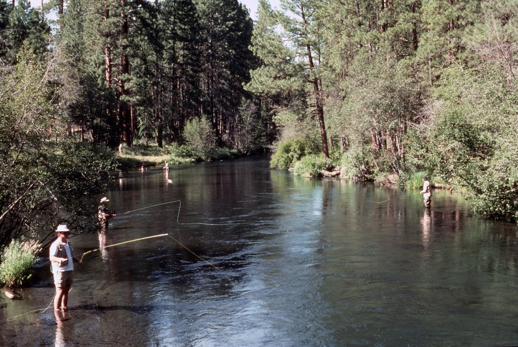
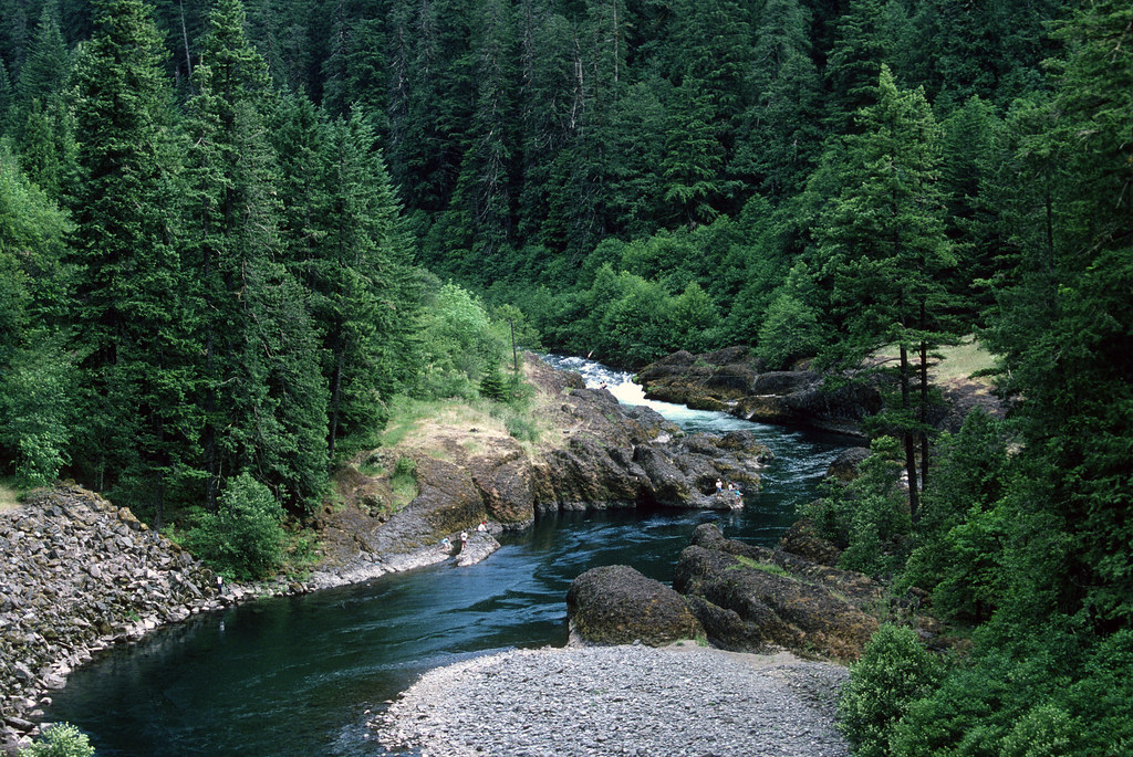
The Lower Deschutes, beginning at Pelton Dam and running 100 miles to the Columbia River, is renowned for its excellent fishing and thrilling whitewater. This section is divided into several segments, with the stretch from Warm Springs to Sherars Falls being particularly popular for multi-day trips. The river here flows through a dramatic basalt canyon, offering stunning scenery and consistent Class III rapids.
The Deschutes is a year-round paddling destination, but each season offers unique experiences. Spring brings high water and challenging conditions for experienced paddlers, while summer is ideal for leisurely floats and family trips. Fall offers excellent fishing opportunities and beautiful colors along the riverbanks.
Wildlife is abundant along the Deschutes, with opportunities to spot bald eagles, ospreys, and various waterfowl. The river corridor is also home to mule deer, beaver, and occasionally bighorn sheep in the lower canyon.
Several notable landmarks punctuate the river's course, including the towering Smith Rock formation near Terrebonne and the impressive Sherars Falls, a historic Native American fishing site. The river passes through or near several towns, including Sunriver, Bend, and Maupin, each offering amenities and access points for river users.
Safety is paramount on the Deschutes, with specific regulations in place, especially on the lower river. Boater passes are required for certain sections, and it's essential to be aware of rapid classifications and potential hazards. The Lower Deschutes also has designated camping areas and fire restrictions to protect the fragile desert ecosystem.
For those seeking a multi-day adventure, the Lower Deschutes offers excellent options. A popular three-day trip runs from Warm Springs to Maupin, covering about 50 miles of scenic canyon and exciting rapids. This journey provides a perfect blend of whitewater excitement and serene camping along the river's edge.
The Deschutes River, with its diverse character and stunning scenery, truly offers something for every paddler, from tranquil floats through high desert landscapes to adrenaline-pumping whitewater adventures. Its accessibility, combined with the charm of nearby towns like Bend and Sunriver, makes it a must-visit destination for river enthusiasts exploring the Pacific Northwest.
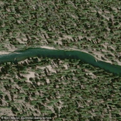
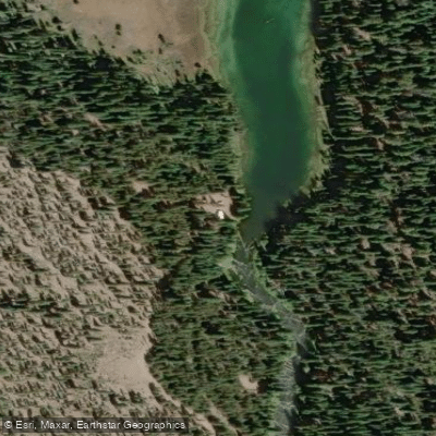
Learn how to get on Deschutes River. Uncover great paddling access points, boat ramps, and all the facilities you need for an unforgettable day on the water. Some locations shown may border or include private property. Always check property boundaries and applicable regulations before visiting. PaddleWays's Public & Private Land layer can help you plan your access with confidence.
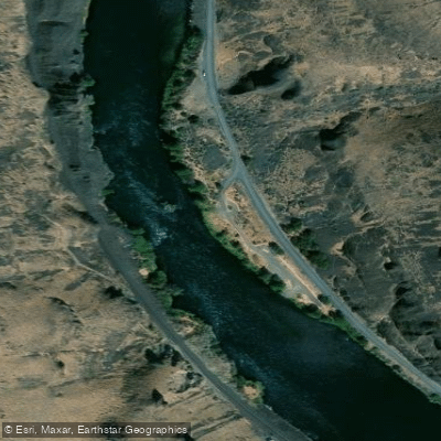
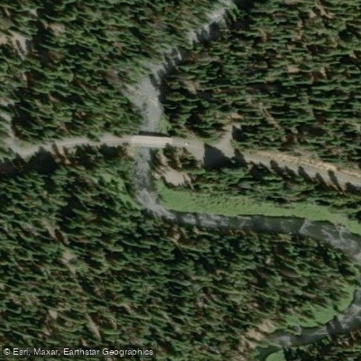
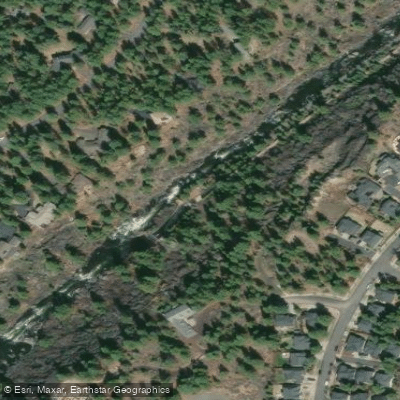
Whether you're en route and conditions shift or you're looking for the best spot based on current flows, we enable you to make informed decisions on the fly.





What you need to float or boat Deschutes River, and when to apply.
Pelton Dam to the Columbia
Boater pass · All boaters · Required year-round
Anyone floating the Lower Deschutes needs a boater pass for the segments and dates of the trip.
Checked Nov 4, 2026 with BLM Prineville District
Every user gets free access to launch points, boat ramps, and public property parcels.
See the best times to paddle Deschutes River and check the forecast before you go.
All Flow Stations
Loading popular cities...
Paddleways gives you everything you need to plan smarter, paddle better, and own every trip from first launch to takeout.



