Curated by PaddleWays
RouteFlatwater
- Distance
- 2.5 mi
- Paddle time
- ~1 hr
- Put-in & take-out
- East Woahink Lake Boat Ramp
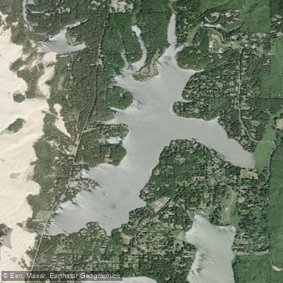
Woahink Lake, located a few miles south of Florence on the Oregon Coast, offers paddlers a diverse 820-acre freshwater environment. This coastal dune lake, one of the deepest in Oregon at over 74 feet, extends 36 feet below sea level. The lake features excellent water clarity and several long shallow arms and coves ideal for exploration.
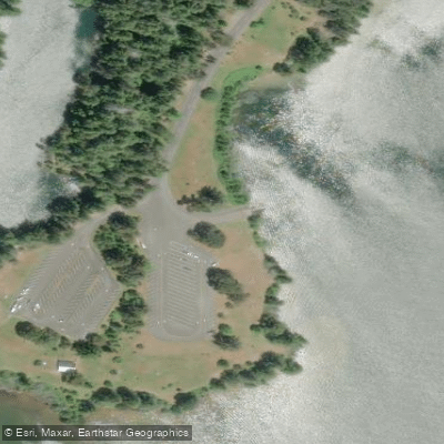
Access is primarily through Jessie M. Honeyman Memorial State Park on the northwestern shore. Two main launch points are available: the West Woahink boat ramp, accessible from Canary Road just after the first bridge, and the East Woahink Lake Day-Use Area, which offers a boat ramp, swimming area, and ample parking. Both areas provide free access and clean facilities.
Paddlers should be aware that Woahink Lake can become choppy due to wind, particularly in the afternoon. The lake also sees frequent powerboat and personal watercraft activity, especially during peak seasons. For a calmer experience, early mornings typically offer glassy conditions, with fall mornings being particularly favorable.
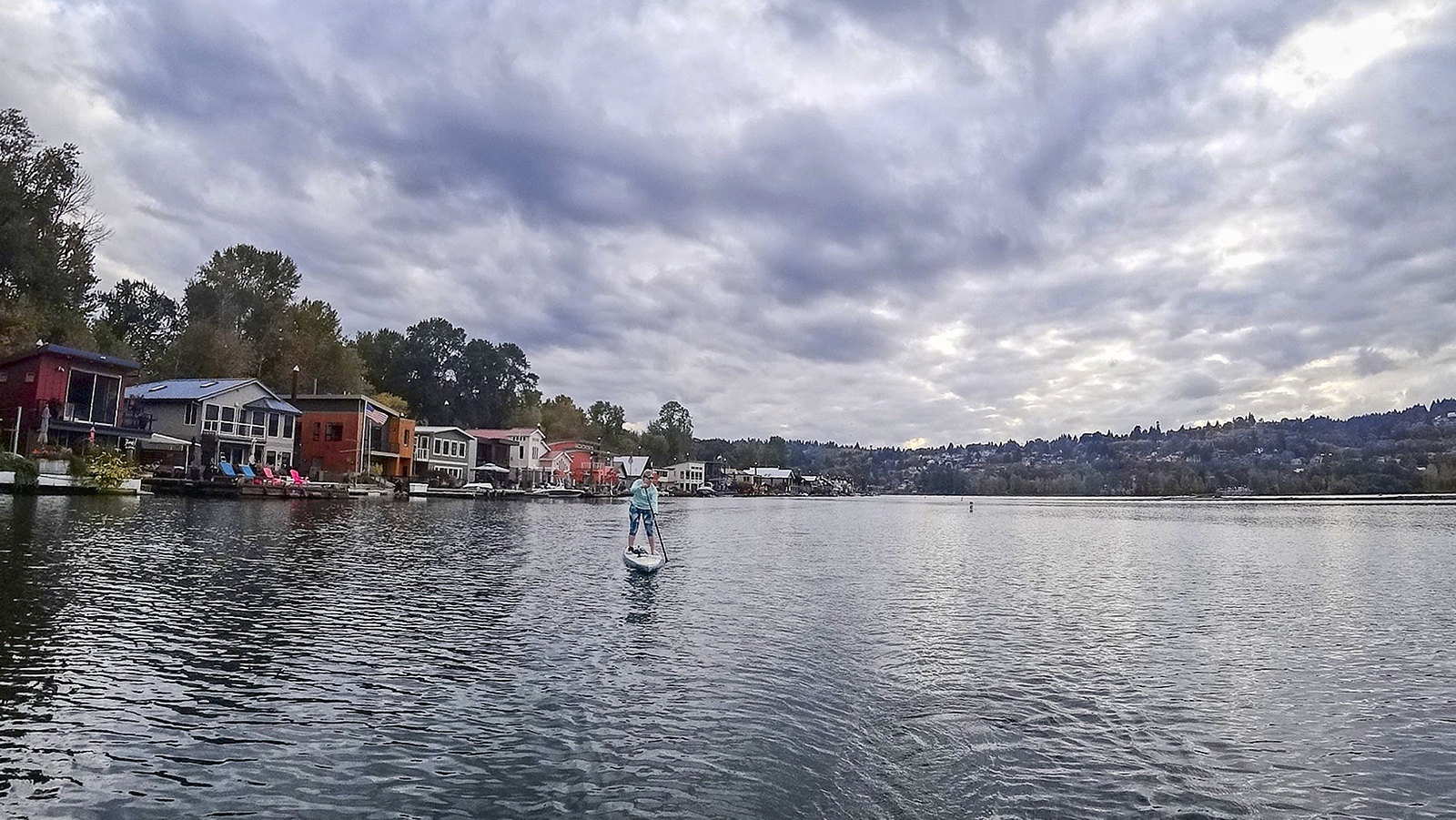
The lake's shoreline is predominantly lined with private residences, but the northwestern border within the state park provides public access to beaches, picnic areas, and walking trails. Wildlife enthusiasts may spot bald eagles fishing in the lake or find the rare cobra lily, an endangered carnivorous plant growing in boggy areas among sedges and water lilies.
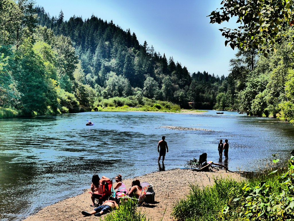
Woahink Lake's water is transparent with a slightly salty quality. The lake features both deep areas and shallow, warm spots with sandy bottoms. Summer water temperatures are generally warm, making it suitable for swimming on hotter days.
Facilities at the East Woahink Day-Use Area include flush toilets, drinking water, picnic sites, and a roped-off swimming area. The area around the lake offers additional recreational opportunities, including hiking trails and camping at Honeyman State Park's campgrounds.
Paddlers exploring Woahink Lake will encounter a unique coastal environment shaped by ancient geological processes, offering a blend of natural beauty and recreational amenities.
Curated routes
Hand-picked by the PaddleWays team, with put-ins, take-outs, paddle times and the hazards along the way.
RouteFlatwater
Hazards
No hazards are marked on Woahink Lake yet. That is not the same as none being there: if you find one, report it for the next paddler.
From the community
Real trips from PaddleWays paddlers: which route they ran, how the water was, and what to watch for.
Loading trip reports
Greg H.
Kayak •
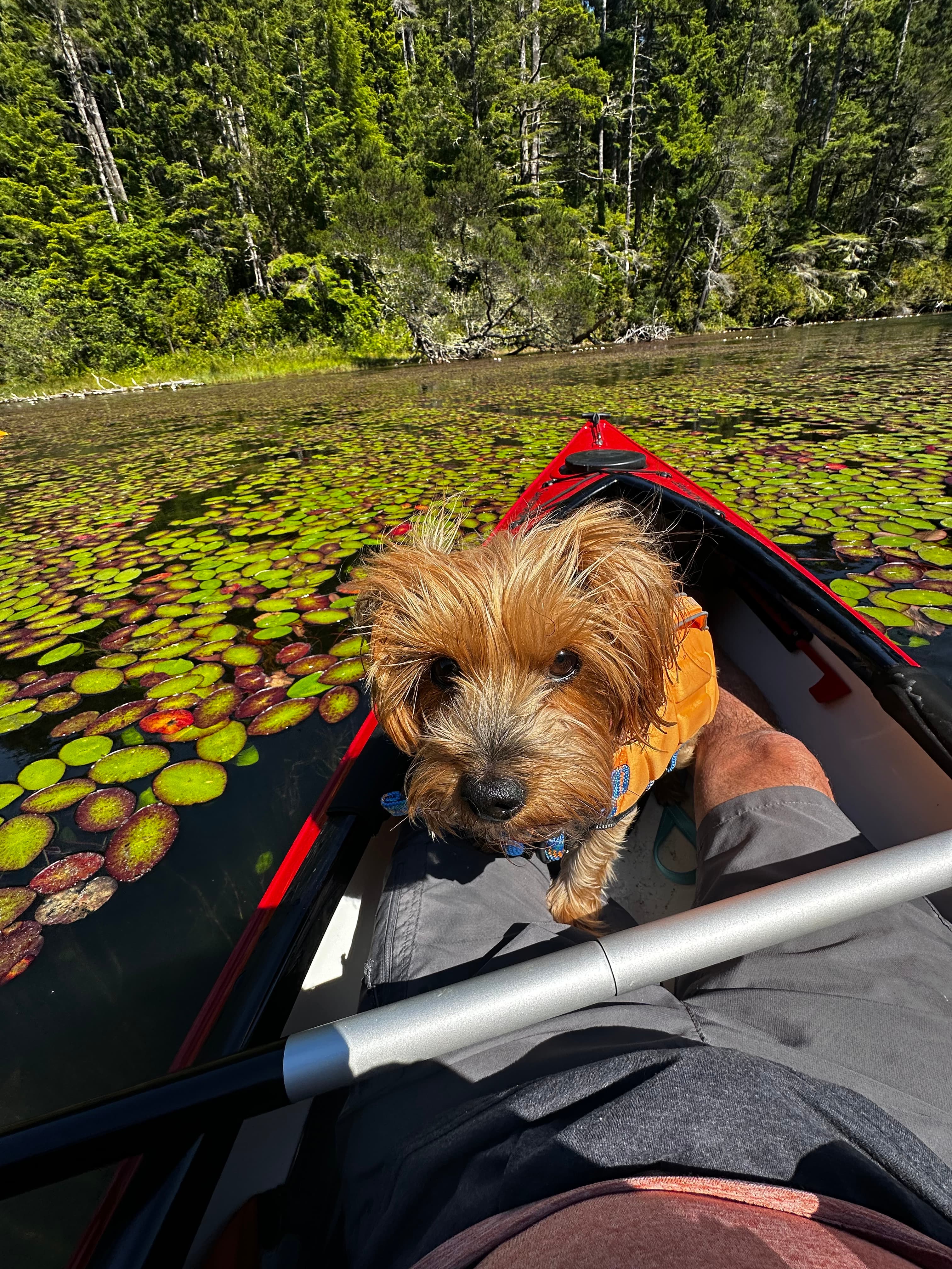
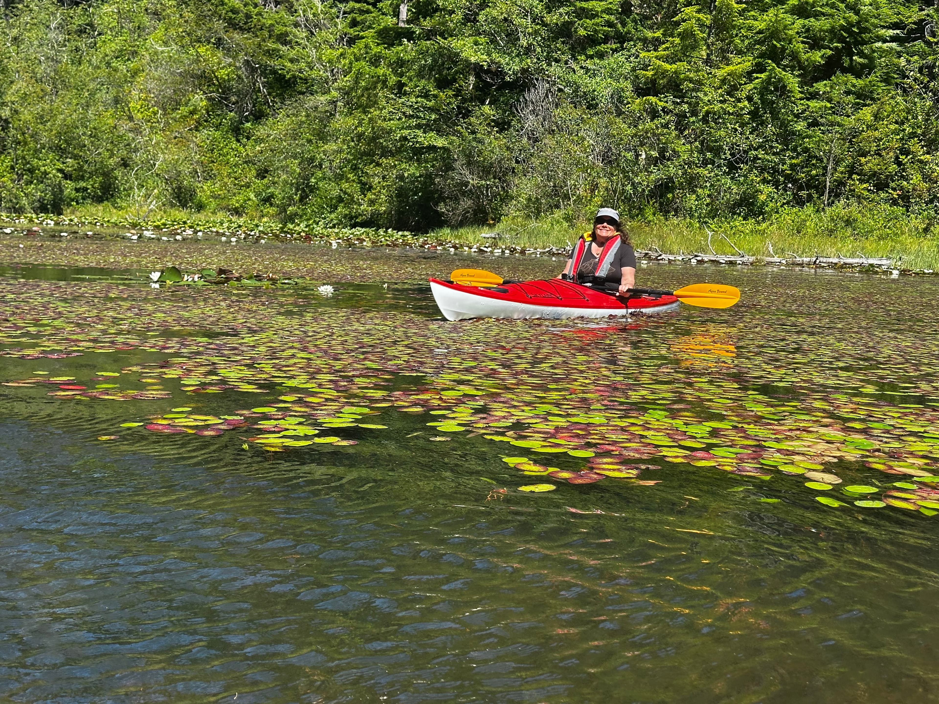
Perfect weather save for windy conditions with gusts above 30 mph. We went into one of the coves at the north end thinking they would offer shelter, but the northerly wind just whipped through the narrow channel. Made for tough paddling upwind but we raced back south with minimal effort. Poppy’s first time in the Kayak with me.
See exactly where the public can get on and off the water. Launch points and boat ramps are paired with PaddleWays' public land data so you know where you can legally land.
Public shoreline
10%of the lake's shoreline is public
Most of the shoreline is private. Launch, land and camp only at public access points.
Weather, wind and a verdict for each route, so you know if Woahink Lake is worth paddling today.
No forecast data available.
Live flows, marked hazards and fresh trip reports from paddlers who were just on the water, all in one place.





Every user gets free access to launch points, boat ramps, and public property parcels.
Loading popular cities...
PaddleWays gives you everything you need to plan smarter, paddle better, and own every trip from first launch to takeout.